Recommend YouTube

| View : |  | ||
| Difficulty : |  | ||
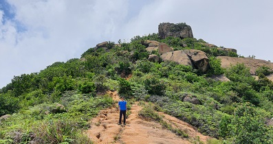
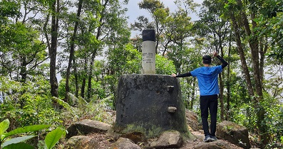
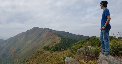
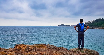
| Path : | |||
| Length : | 8km | ||
| Estimate : | 3hours | ||
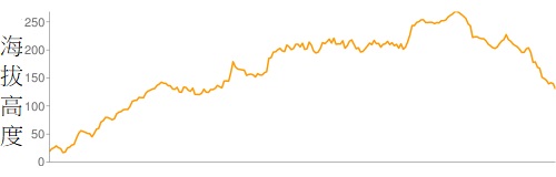 | |
| Ascent : 564m | Descent : 452m |
| Max : 269m | Min : 17m |
| (The accuracy of elevation is +/-30m) | |


| View : | | ||
| Difficulty : | | ||
| Path : | |||
| Length : | 8km | ||
| Estimate : | 3hours | ||
| |
| Ascent : 564m | Descent : 452m |
| Max : 269m | Min : 17m |
| (The accuracy of elevation is +/-30m) | |
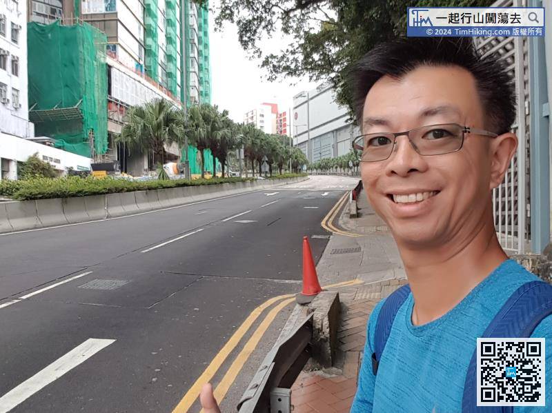
| Hwkin1991 : | 由引水道返回大潭道後,要行一小段馬路,行車線好狹窄,十分危險,建議都係搭巴士前往較好。 (2020-12-25) |
港島好多馬路旁都沒有行人路的,駕駛人士都習慣的,行人小心沿邊行就可以,不用膽心。 (Tim Sir 2020-12-25) |
一起行山闖蕩去 | timhiking | timhiking | Message Board | Disclaimer