Recommend YouTube


| View : |  | ||
| Difficulty : |  | ||
| Path : | |||
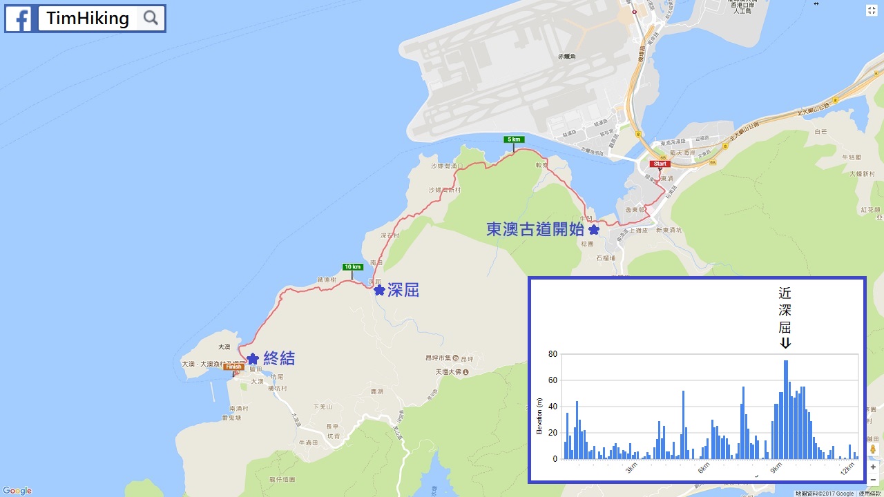
| Length : | 14km | ||
| Estimate : | 4hours | ||
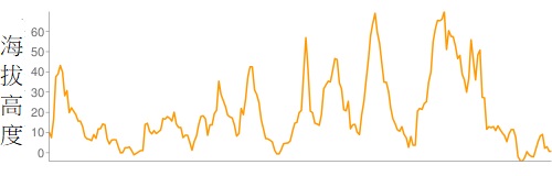 | |
| Ascent : 478m | Descent : 488m |
| Max : 70m | Min : 0m |
| (The accuracy of elevation is +/-30m) | |

 中途很多餐廳、 Store
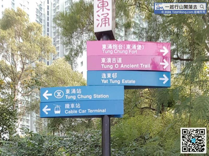
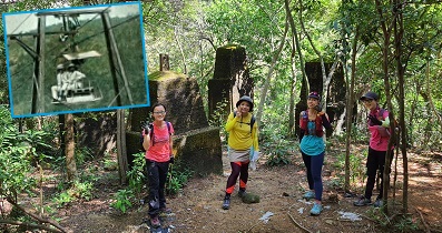
Sign to Tung O Ancient Trail

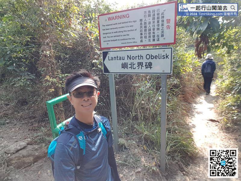
See the warning sign to Lantau North Obelisk, continue on shortly before arriving at Tai O side Sun Ki Street.
Hong Kong Hiking Map