


 Recommend YouTube


| View : |  | ||
| Difficulty : |  | ||
| Path : | |||
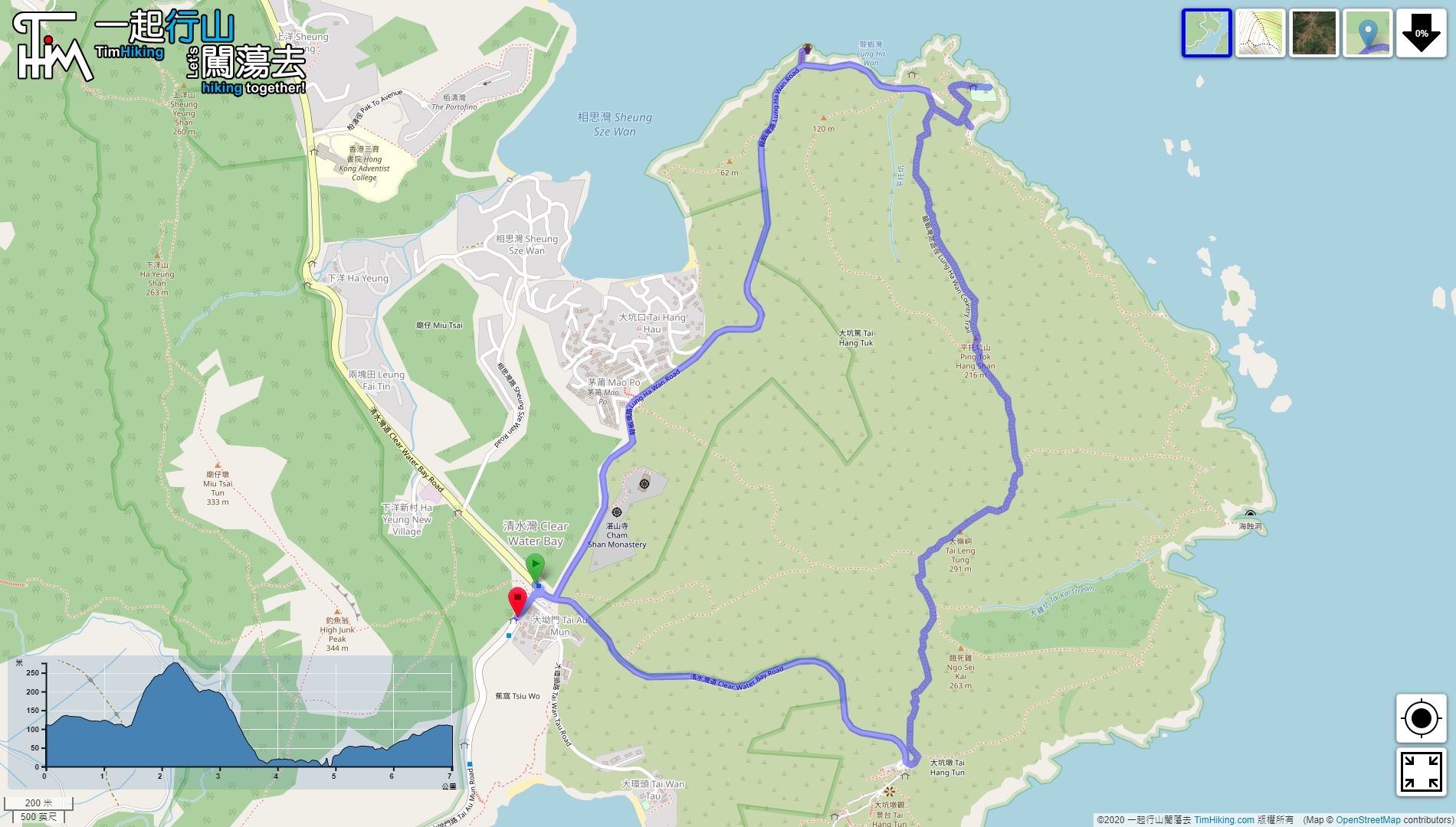
| Length : | 2.4km | ||
| Estimate : | 2½hours | ||
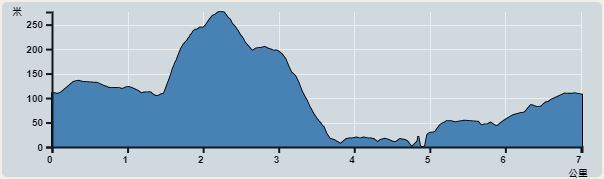 | |
| Ascent : 261m | Descent : 261m |
| Max : 276m | Min : 15m |
| (The accuracy of elevation is +/-30m) | |


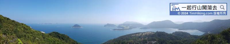

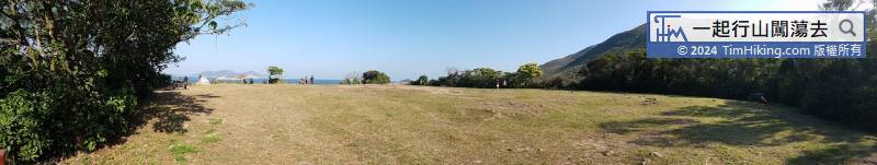
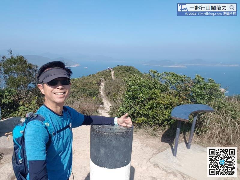
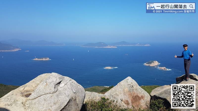
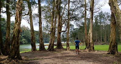
Go up to Tai Leng Tung. There is a Viewing Point next to the Trigonometrical Station.
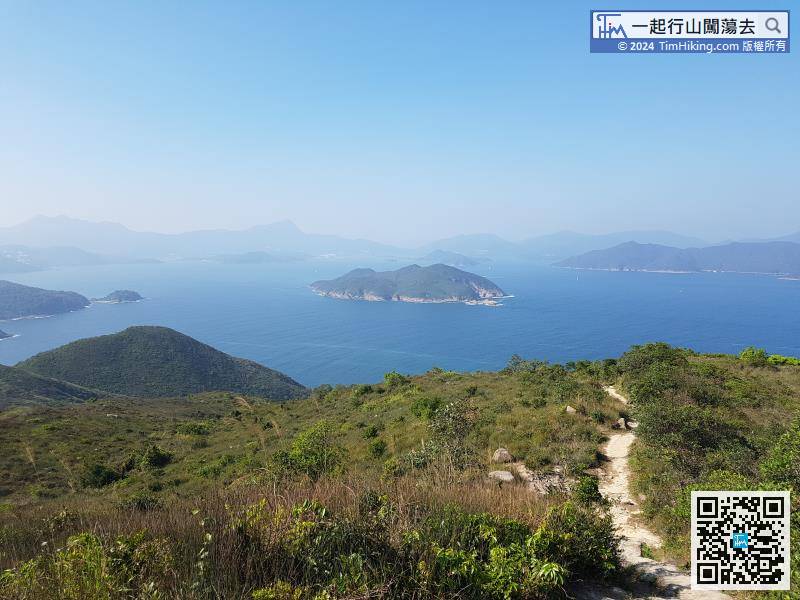
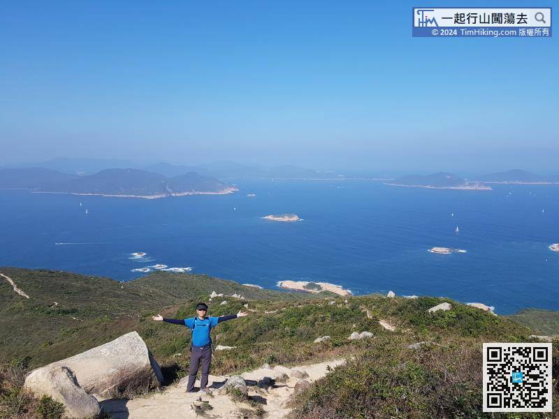
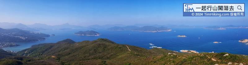
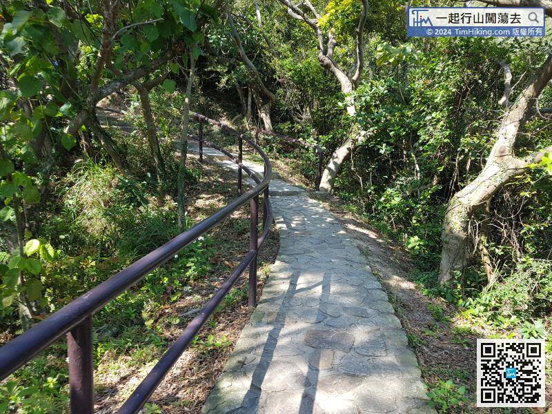
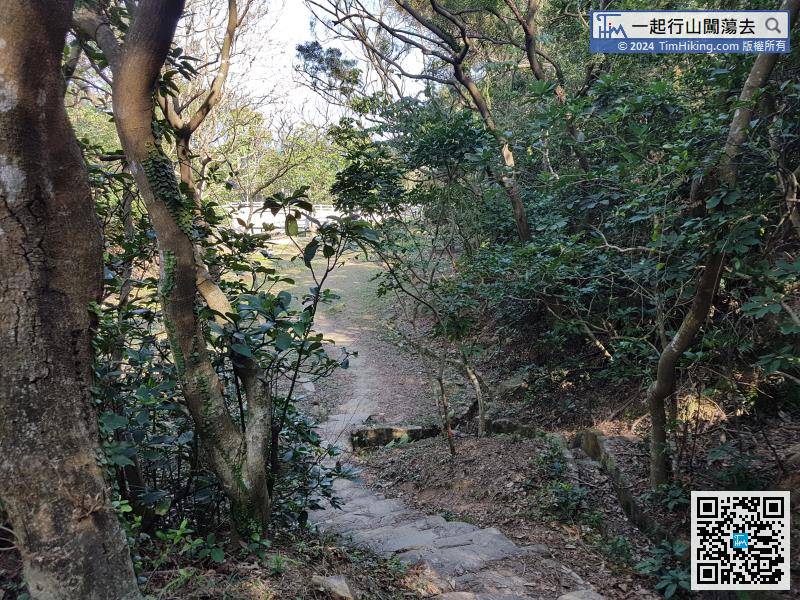
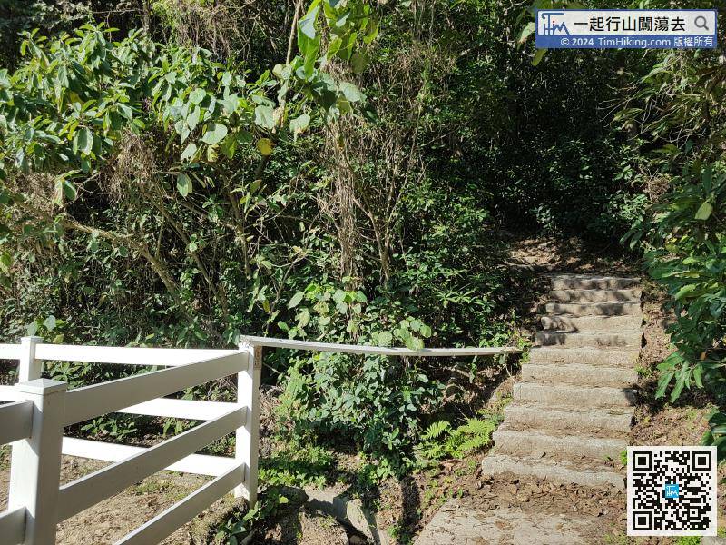
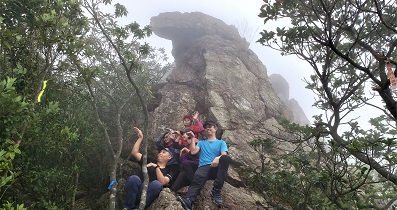
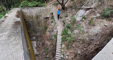
After the break, continue the journey in free mode, go down in the shadows, and Ping Tok Hang Shan before falling down the steps.


