


 Recommend YouTube


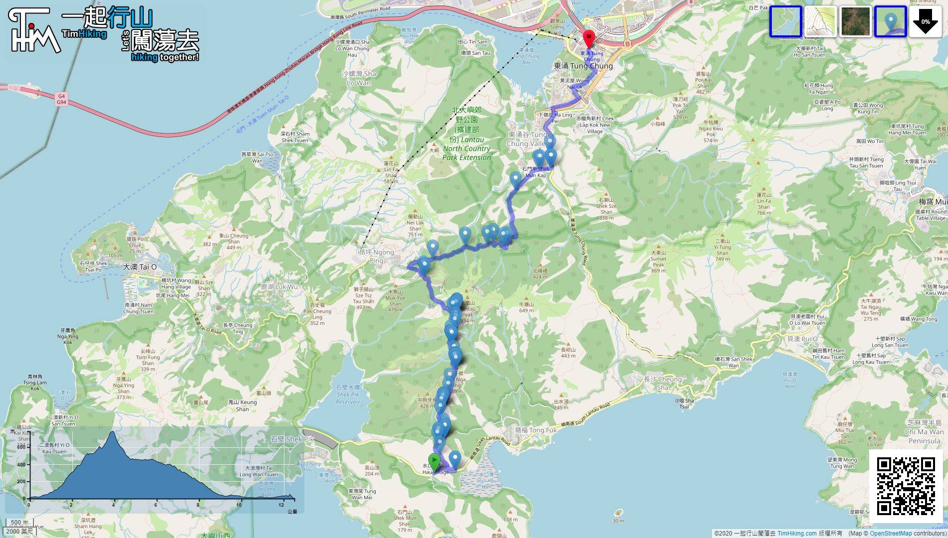
| View : |  | ||
| Difficulty : |  | ||
| Path : | |||
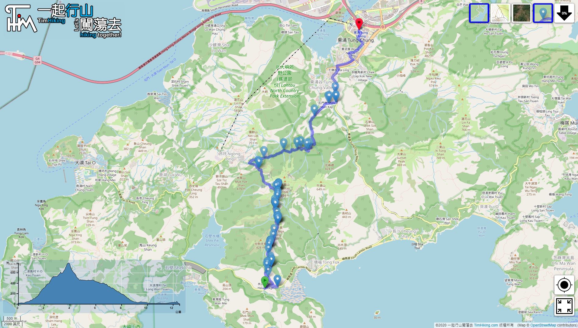
| Length : | 12.7km | ||
| Estimate : | 7hours | ||
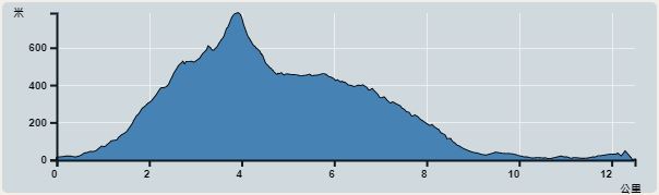 | |
| Ascent : 803m | Descent : 797m |
| Max : 785m | Min : 0m |
| (The accuracy of elevation is +/-30m) | |


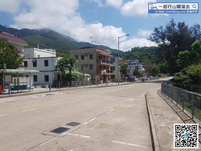
First, take Lantau Bus 11 or 23 from Tung Chung and get off at Shui Hau Village.
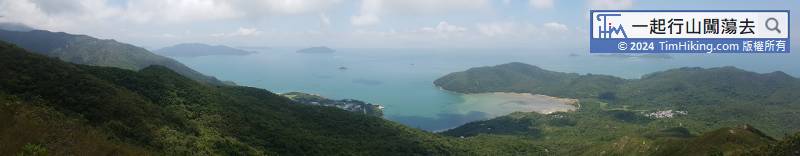
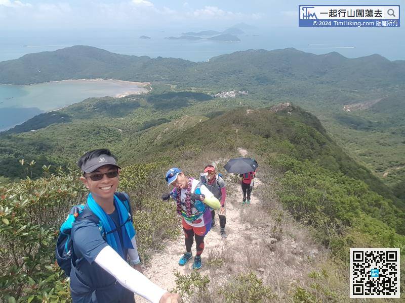
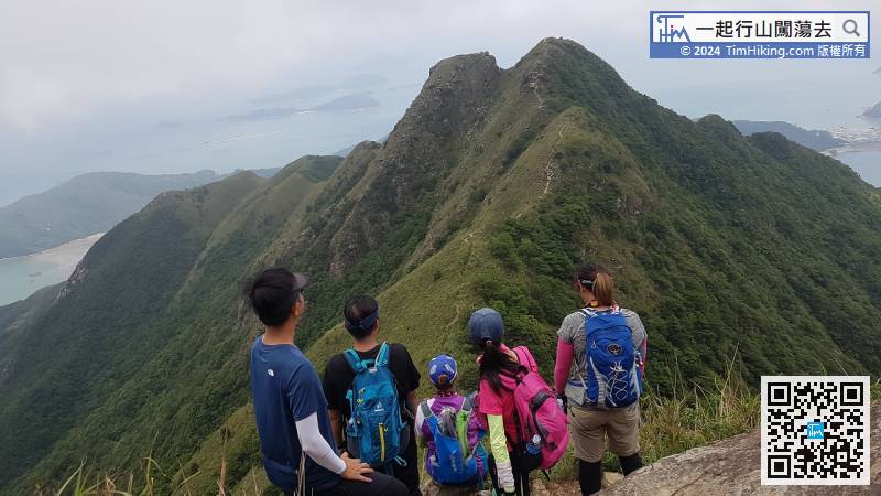
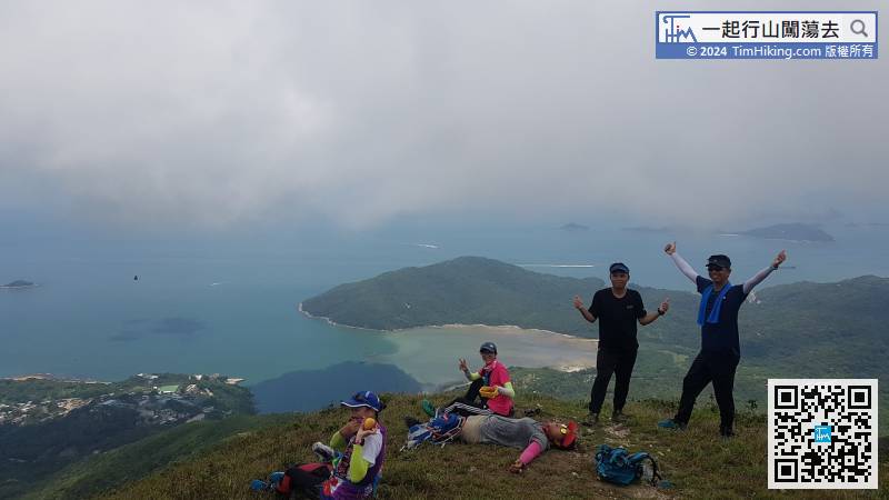
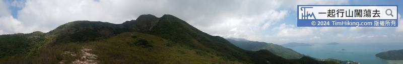
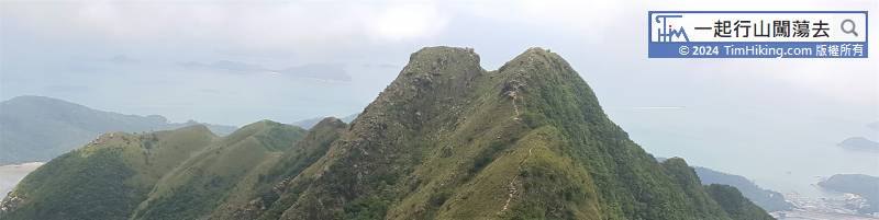
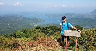
After about an hour of non-stop climbing, will find that already passed a few peaks of Tung Kau Nga Ridge,
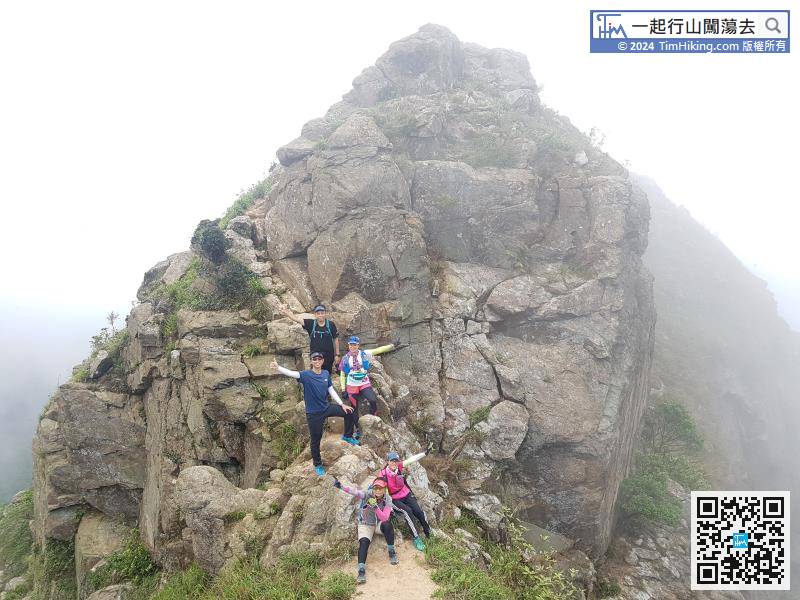
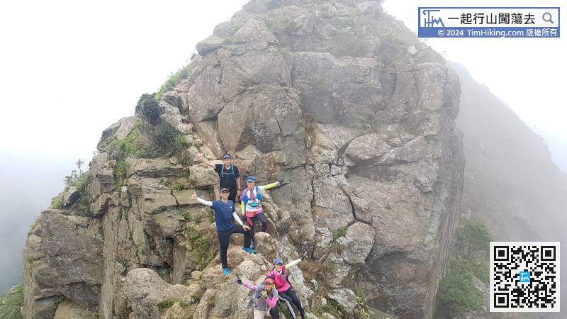
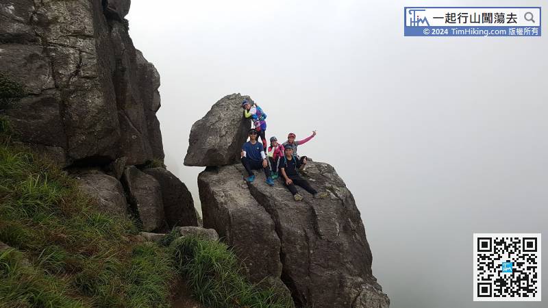
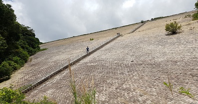
Slim Chance of Survival is dangerous or not, it only depends on the personal attitude. With humility down the mountain, should pass safely.
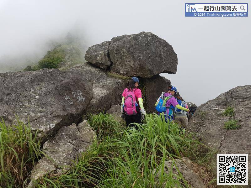
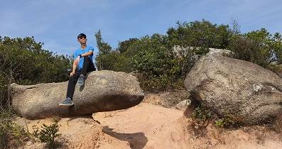
Go up the mountain trail next to Bird Turning Head Rock and pass through a pile of boulders.
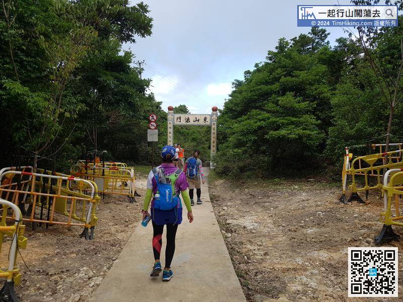
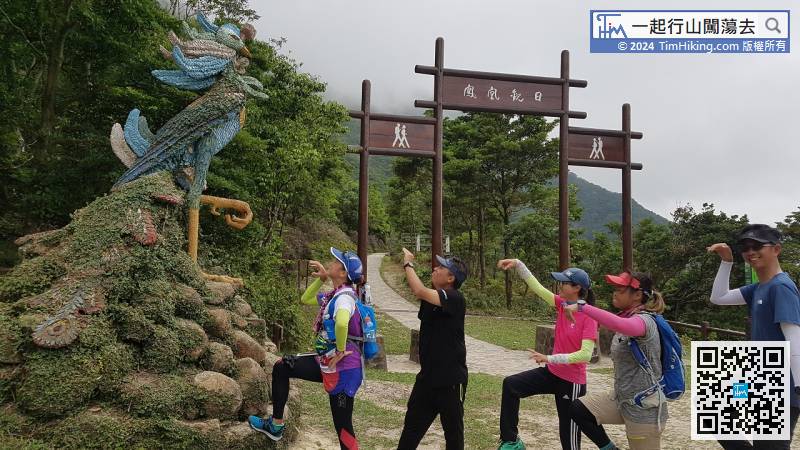
Soon will see the entrance of Fat Mun Ancient Trail, passing through the Fat Mun Ancient Trail archway.


