


 Recommend YouTube


| View : |  | ||
| Difficulty : |  | ||
| Path : | |||
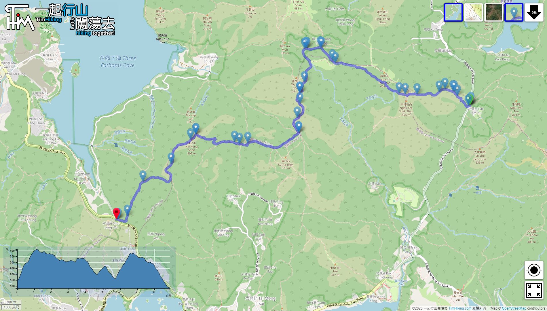
| Length : | 8.9km | ||
| Estimate : | 3½hours | ||
| 【 Cheung Sheung Campsite 】 | |||
| Toilet : | Outhouse | ||
| Water : | Stream Water | ||
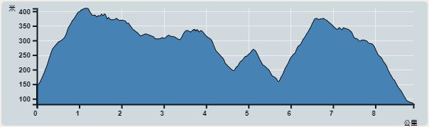 | |
| Ascent : 571m | Descent : 628m |
| Max : 409m | Min : 81m |
| (The accuracy of elevation is +/-30m) | |


 Cheung Sheung Campsite Store
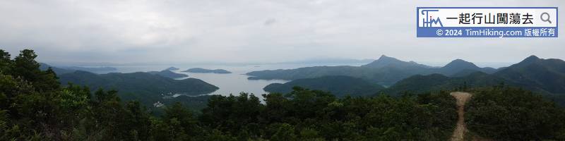
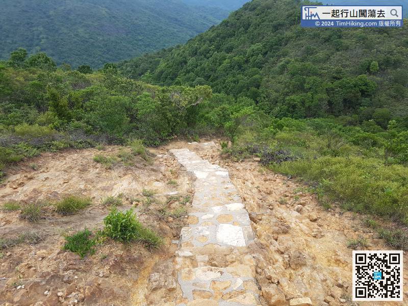
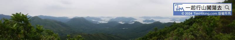
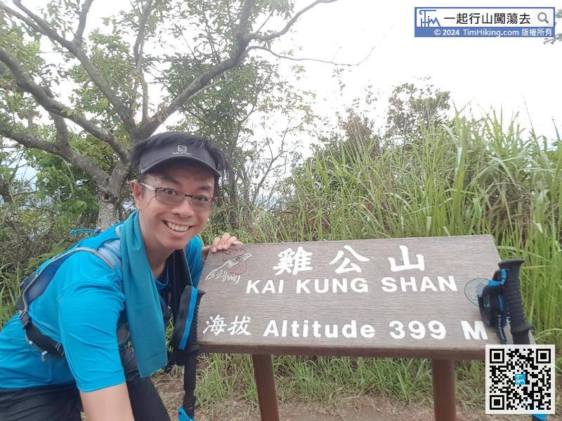
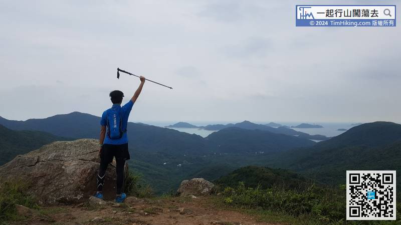
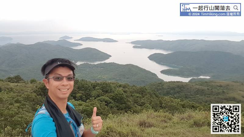
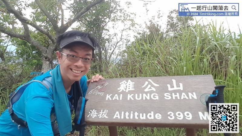
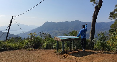
Finally, come to the top of Kai Kung Shan. The scenery on the top of the mountain is not wide and the trees are obstructed.
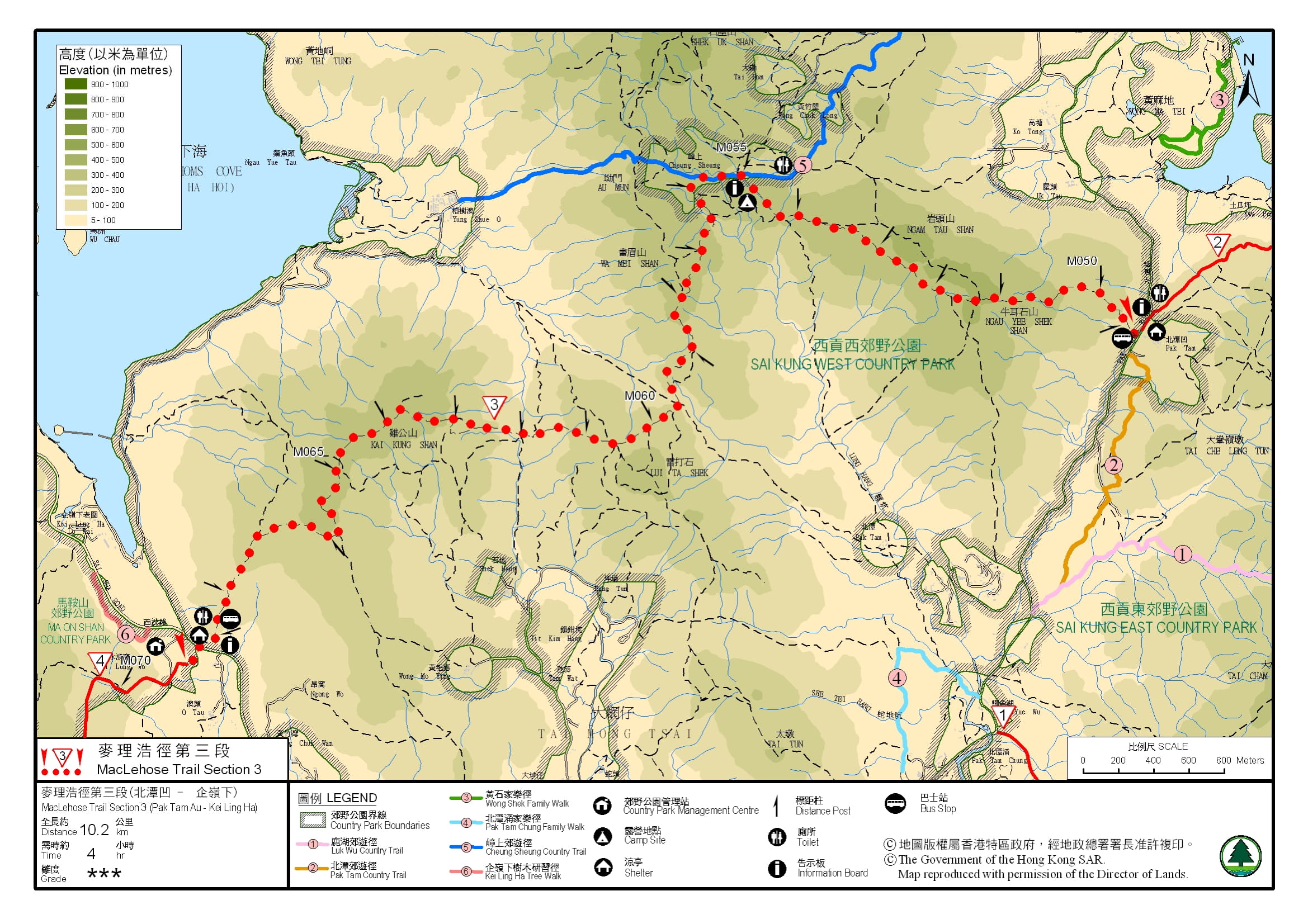
Official Map


