


 Recommend YouTube


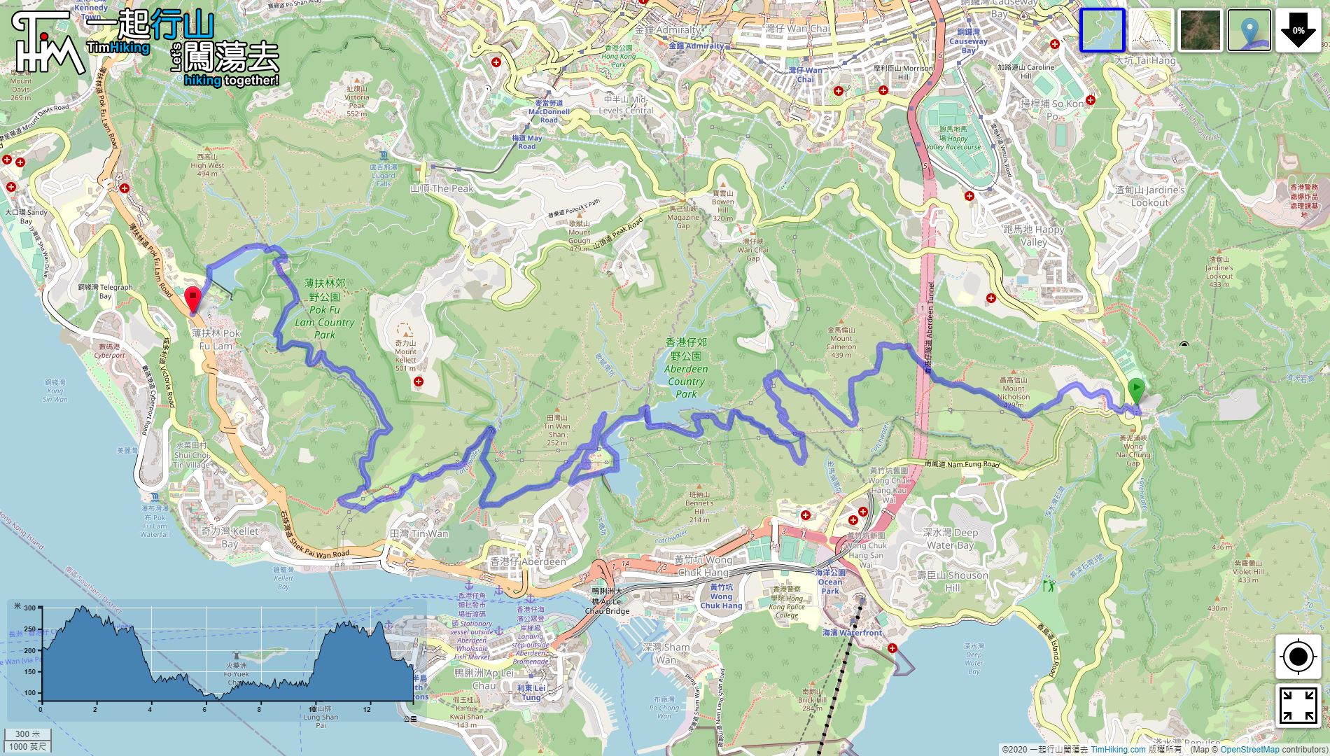

| View : |  | ||
| Difficulty : |  | ||
 (leave at Aberdeen) | |||
| Path : | |||
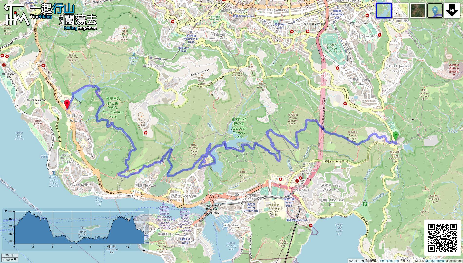
| Length : | 13.8km | ||
| Estimate : | 5hours | ||
 | |
| Ascent : 376m | Descent : 425m |
| Max : 306m | Min : 81m |
| (The accuracy of elevation is +/-30m) | |


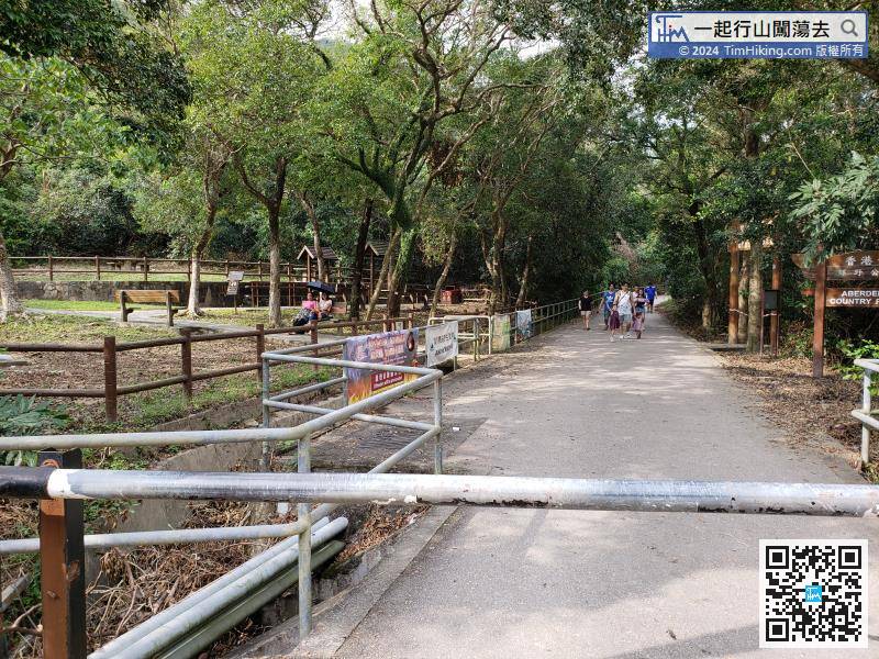
 香港仔Pak Tam Chung Picnic Area
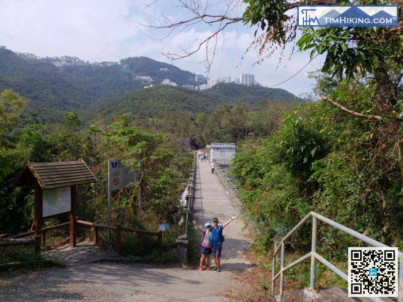
After walking for 1km, will arrive at a large pavilion. Turn left to leave Black's Link
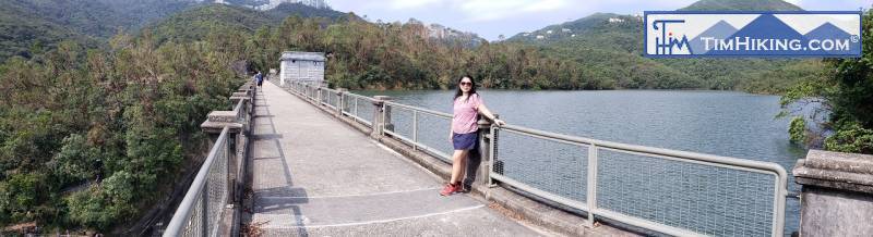
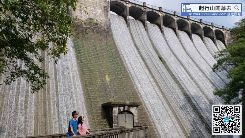
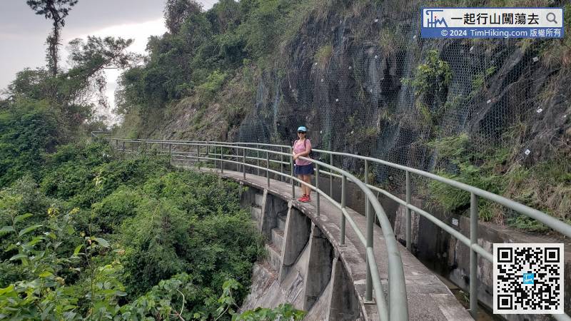
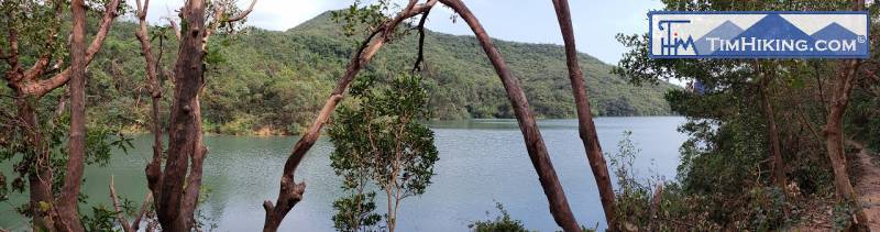
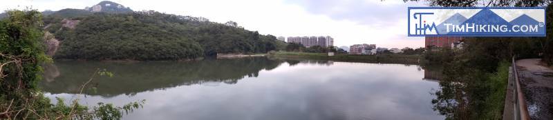
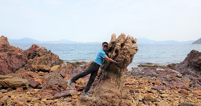
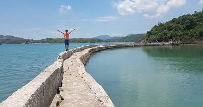
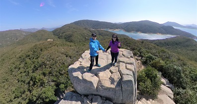
After having a turn, will see the Aberdeen Upper Reservoir Main Dam. The Main Dam is very magnificent.
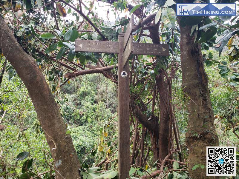
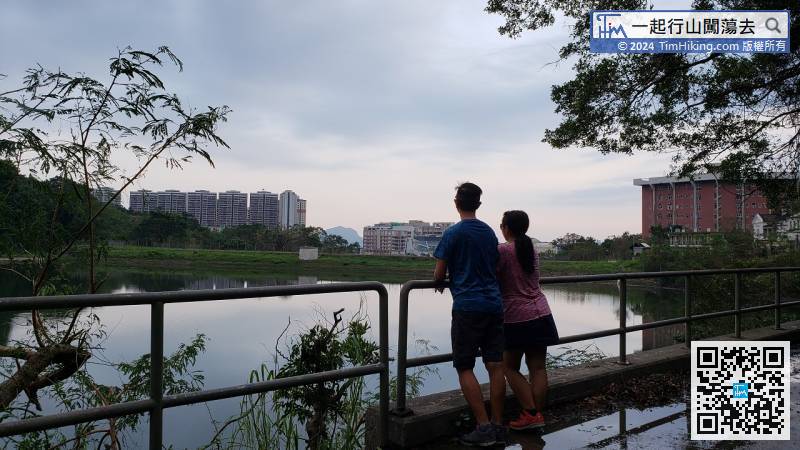
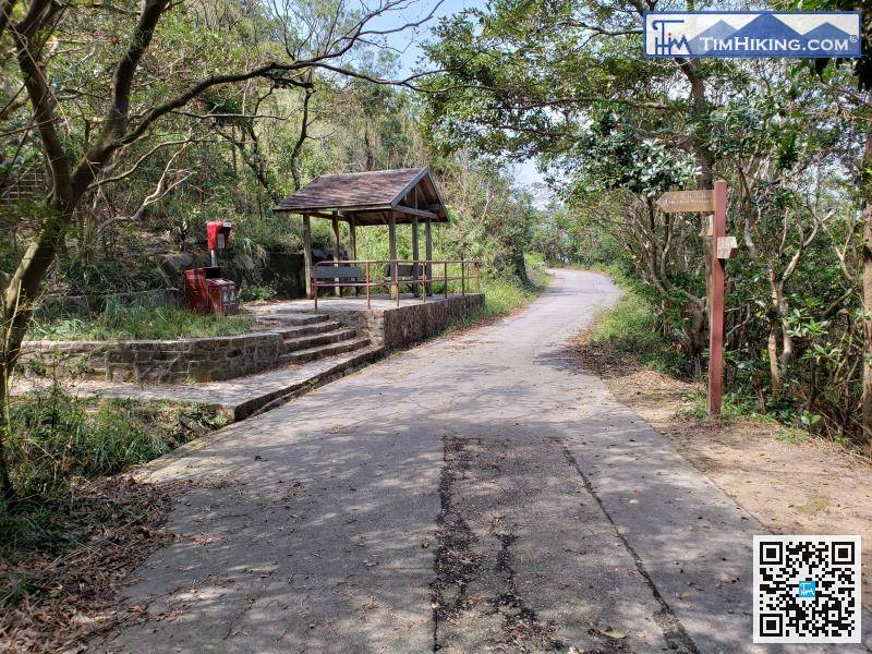
At the beginning, will see signs indicating to Pok Fu Lam Reservoir, indicating that it is about 4.5km.
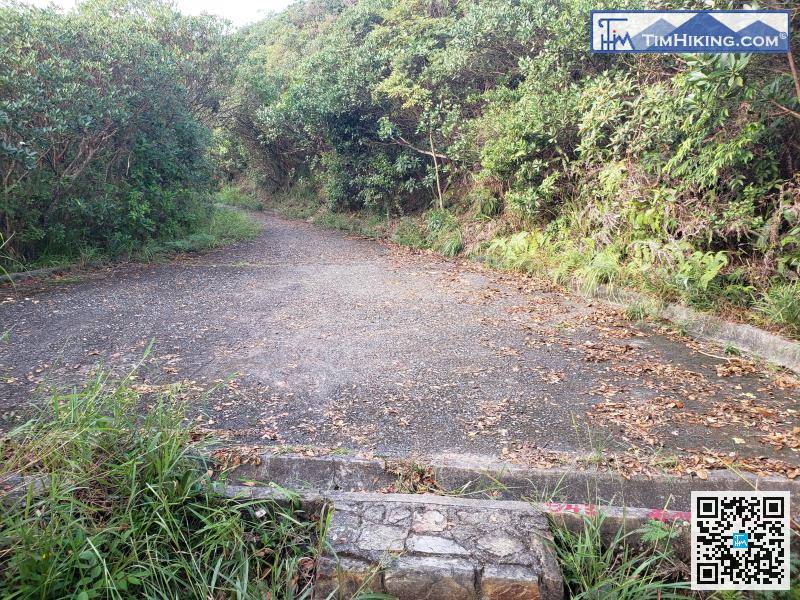
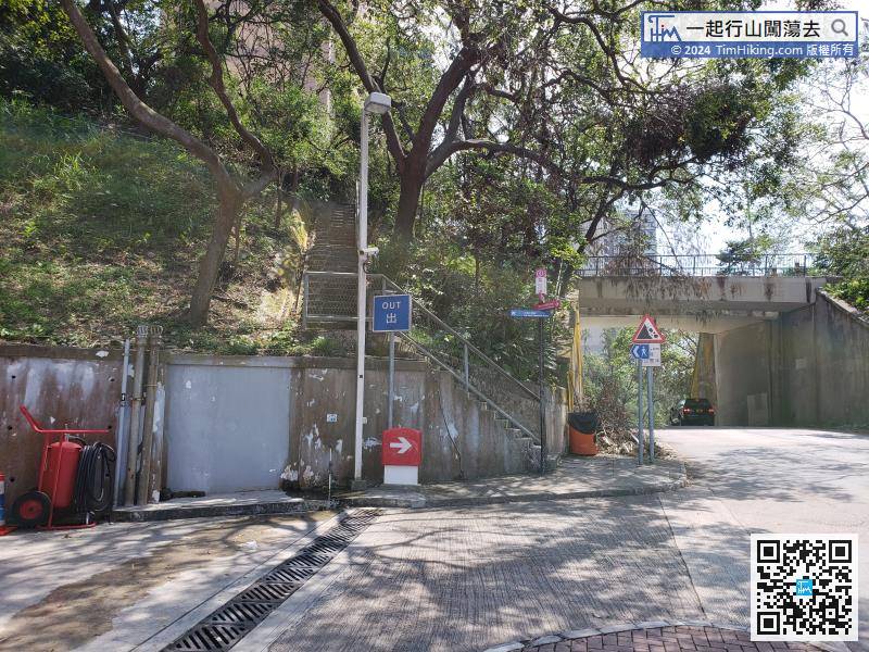
The top of the stairs will lead back to the wide road, and the mountain trail will end here.


