


 Recommend YouTube


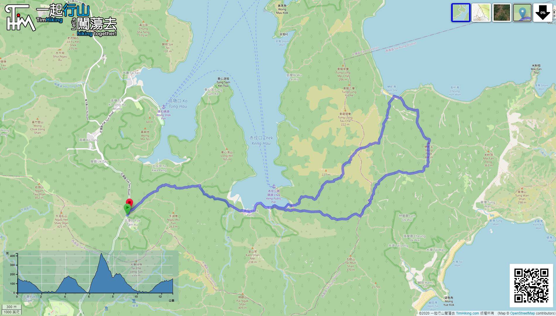
| View : |  | ||
| Difficulty : |  | ||
| Path : | |||
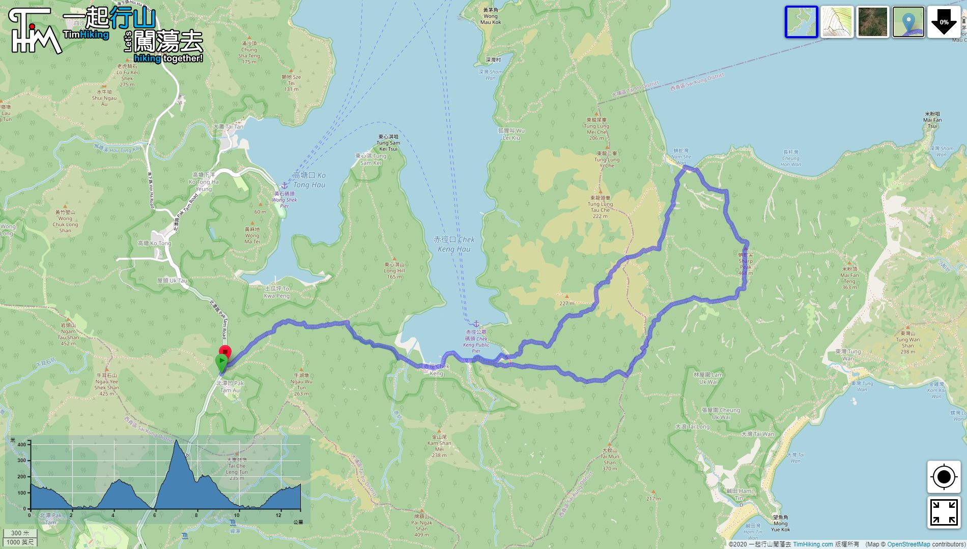
| Length : | 12.9km | ||
| Estimate : | 7hours | ||
| 【 Pak Tam Au Campsite 】 | |||
| Toilet : | Outhouse | ||
| Water : | Stream Water | ||
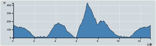 | |
| Ascent : 732m | Descent : 740m |
| Max : 426m | Min : 0m |
| (The accuracy of elevation is +/-30m) | |


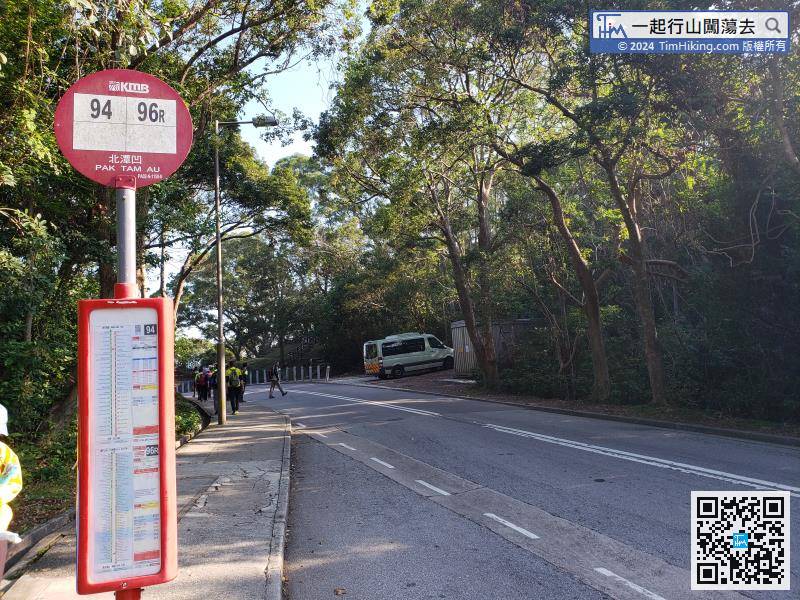
Starting at Pak Tam Au, you can take the bus 94 or holiday bus 96R bus and get off at Pak Tam Au.
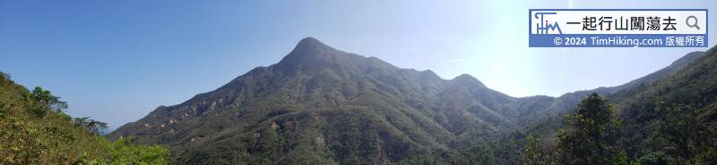
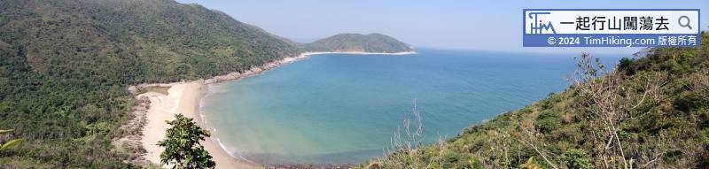
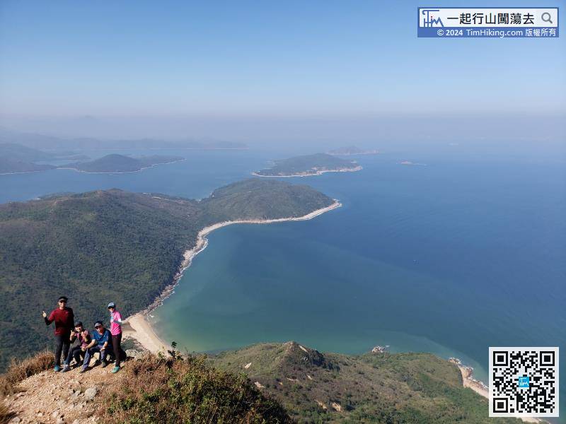
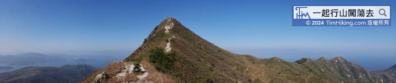
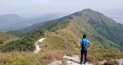
On the right-hand side of Vice Peak is Chin Kai Hoi On which needs to edge climbing.
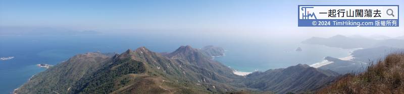

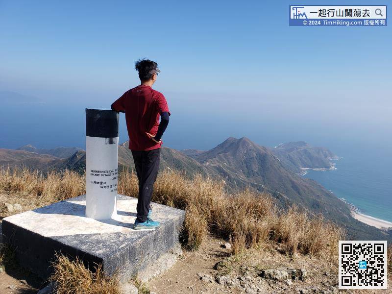
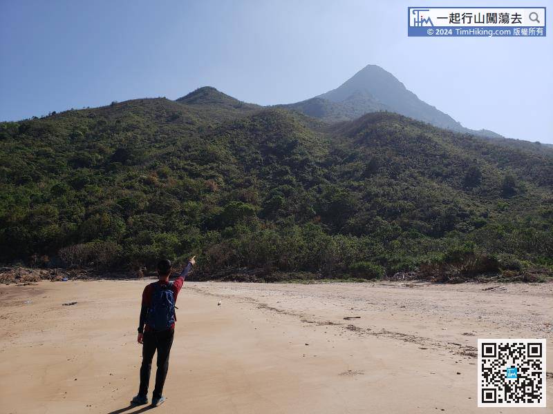
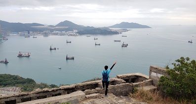
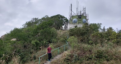
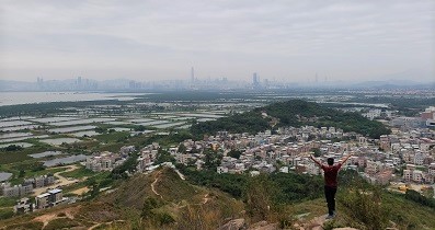
There is a trigonometrical station on the top of the mountain, looking straight at Cheung Tsui.
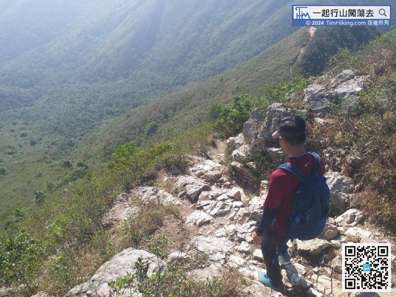
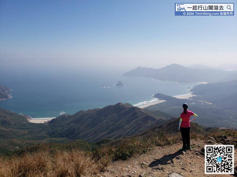
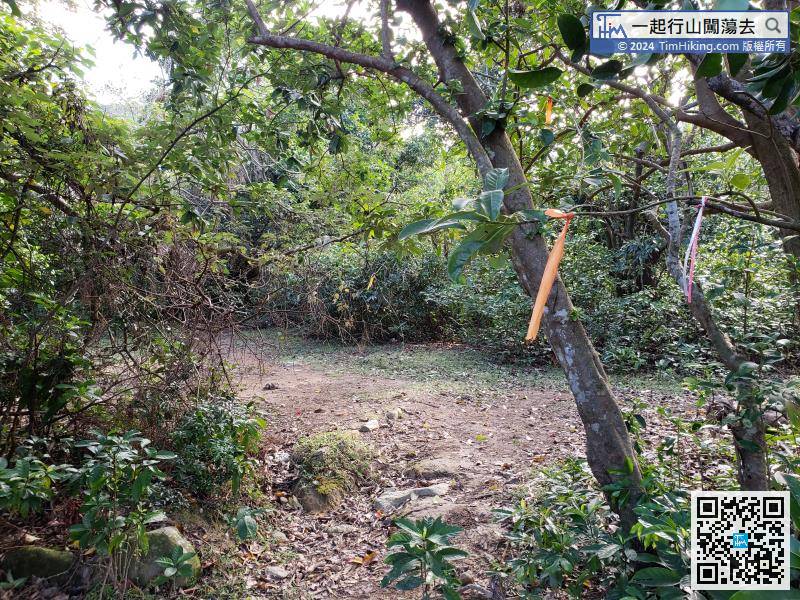
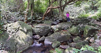
In Section 2, the slope is mainly composed of large rocks,


