


 Recommend YouTube


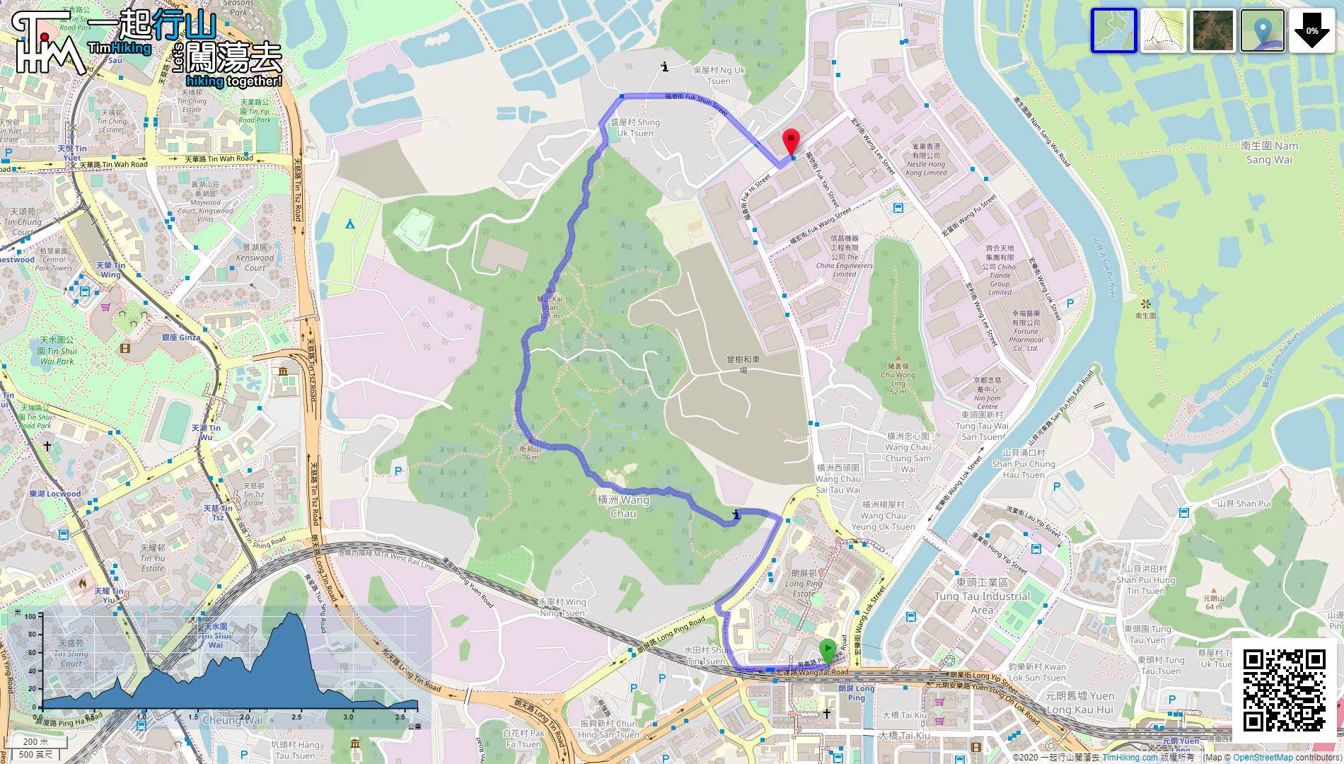
| View : |  | ||
| Difficulty : |  | ||
| Path : | |||
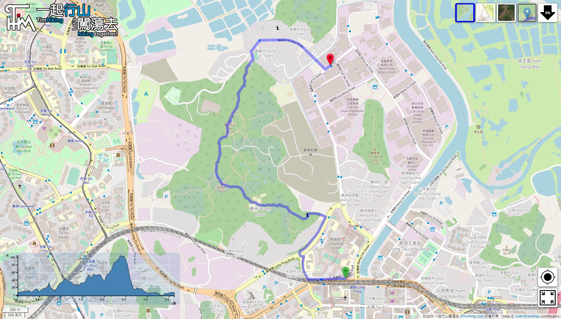
| Length : | 3.7km | ||
| Estimate : | 1½hours | ||
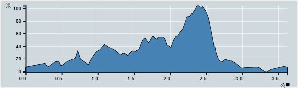 | |
| Ascent : 104m | Descent : 104m |
| Max : 104m | Min : 0m |
| (The accuracy of elevation is +/-30m) | |


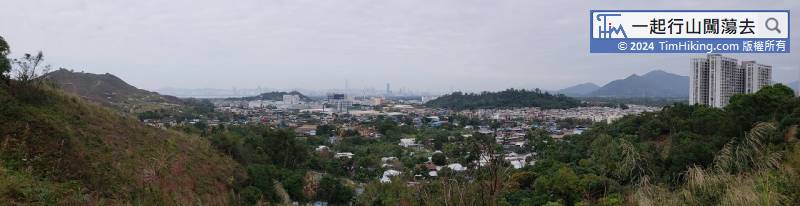
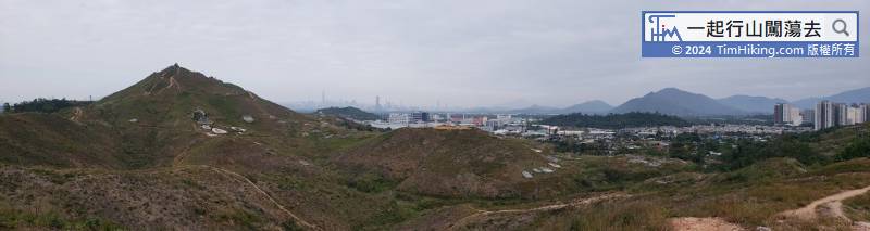
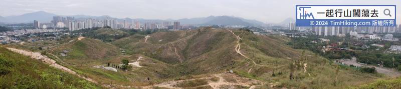
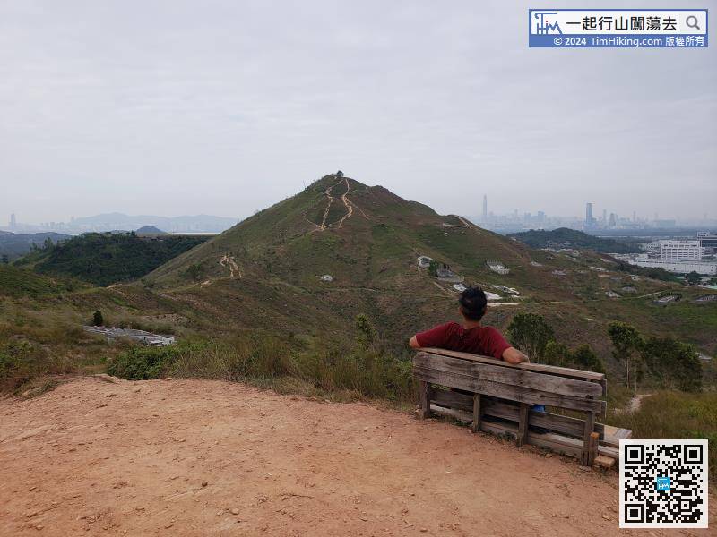
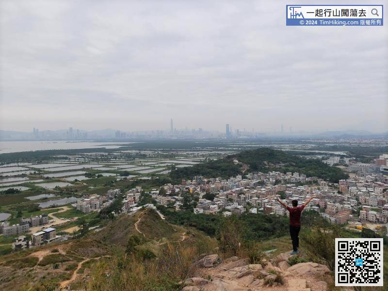
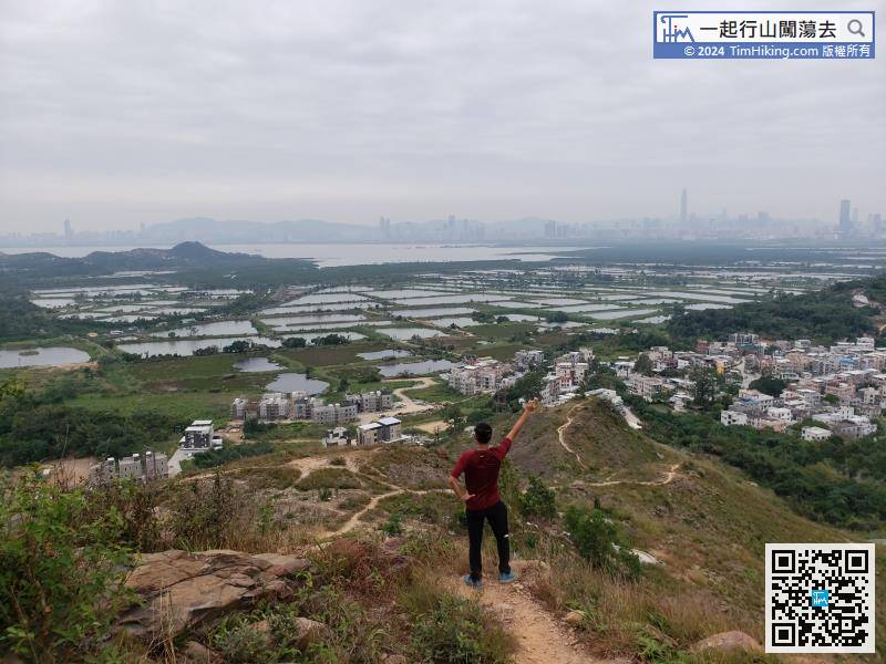
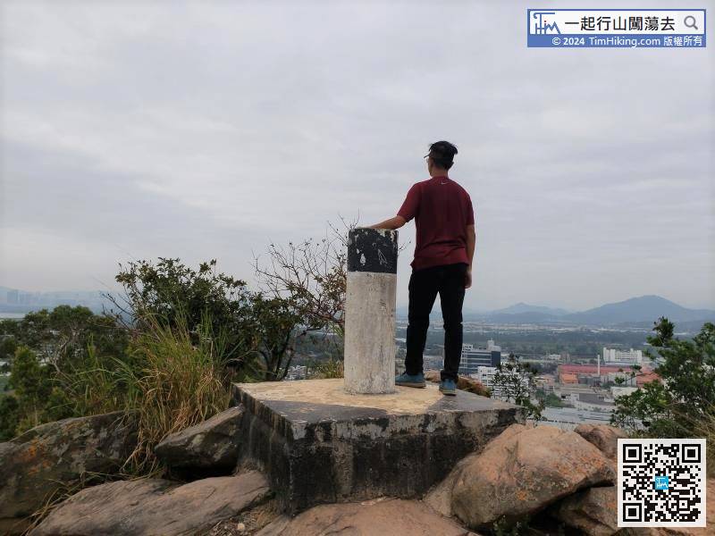
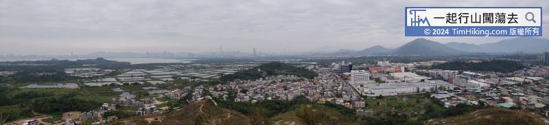
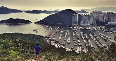
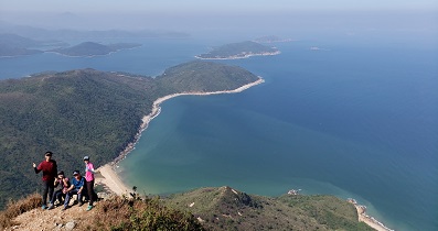
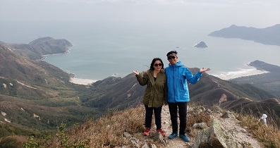
Anyway, the journey is very short. Take a seat first and take a closer look at the surrounding scenery.


