


 Recommend YouTube


| View : |  | ||
| Difficulty : |  | ||
| Path : | |||
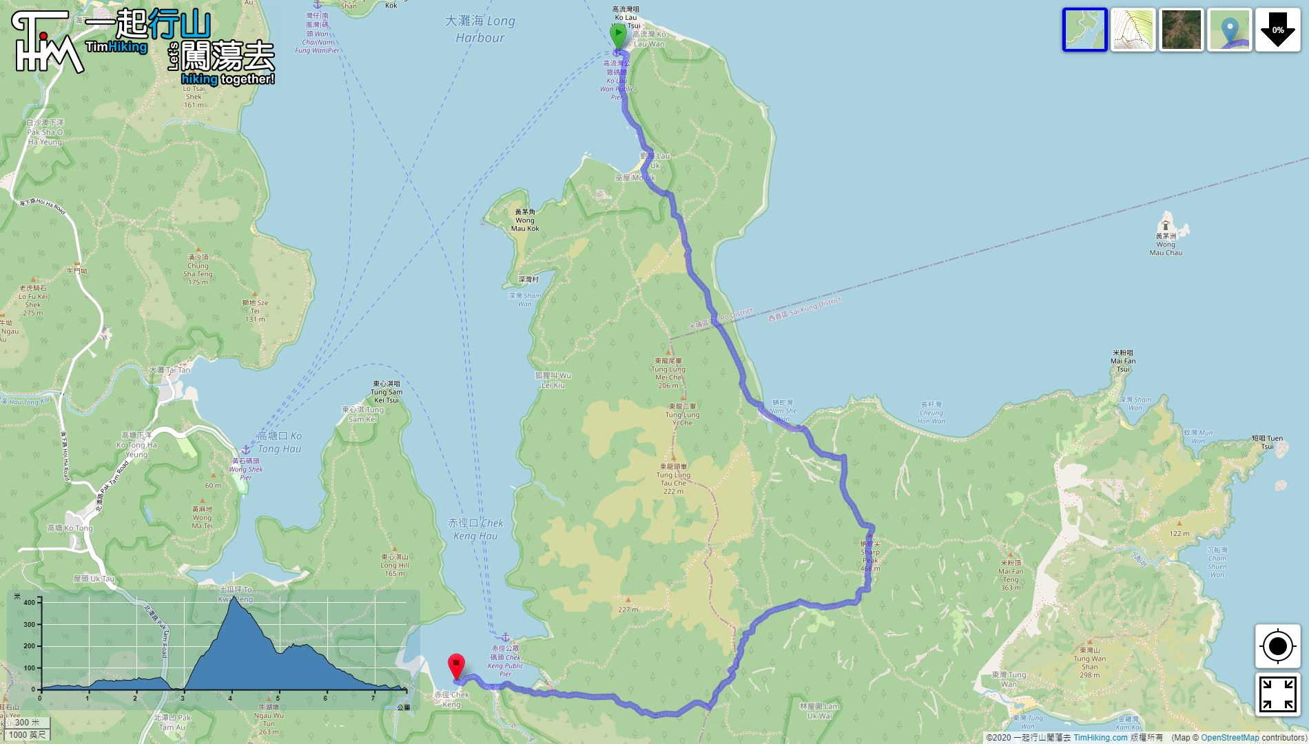
| Length : | 7.7km | ||
| Estimate : | 5hours | ||
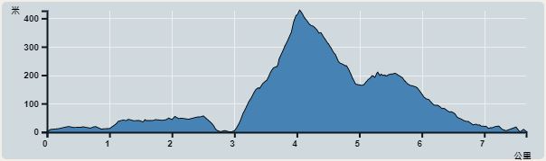 | |
| Ascent : 494m | Descent : 487m |
| Max : 427m | Min : 0m |
| (The accuracy of elevation is +/-30m) | |


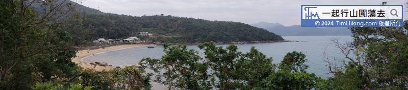
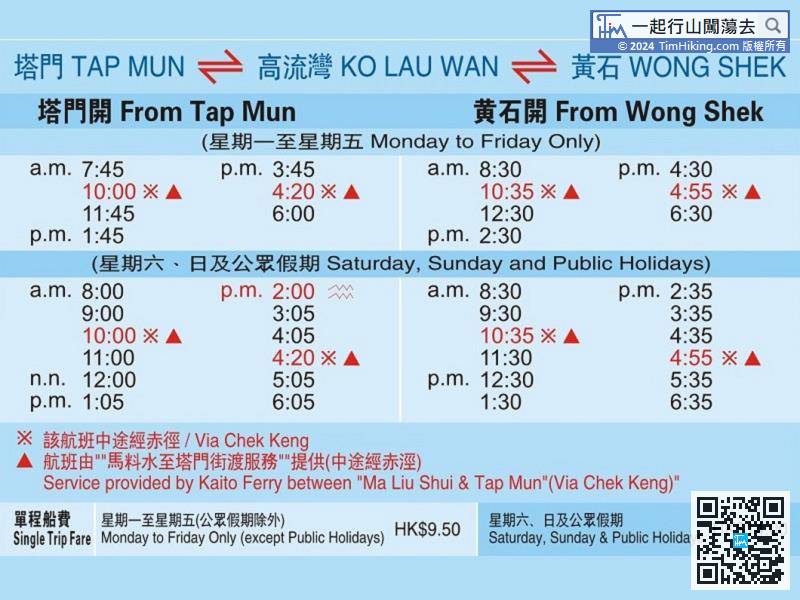
And pay attention to the sailing schedule. It takes about one hour on holidays and two hours on free days. After the sailing schedule, will have to wait a long time.
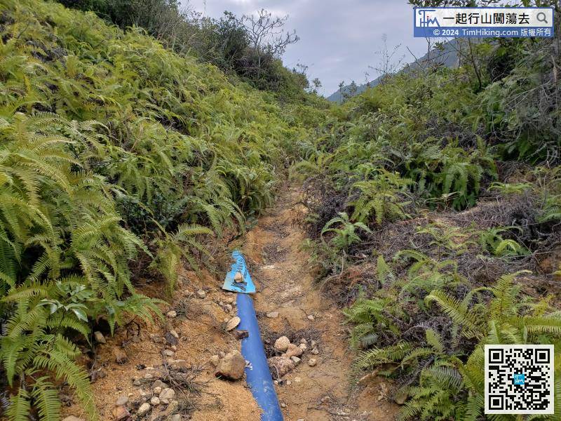
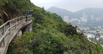
A few moments later, step into the water pipe path inadvertently.
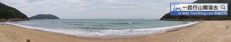
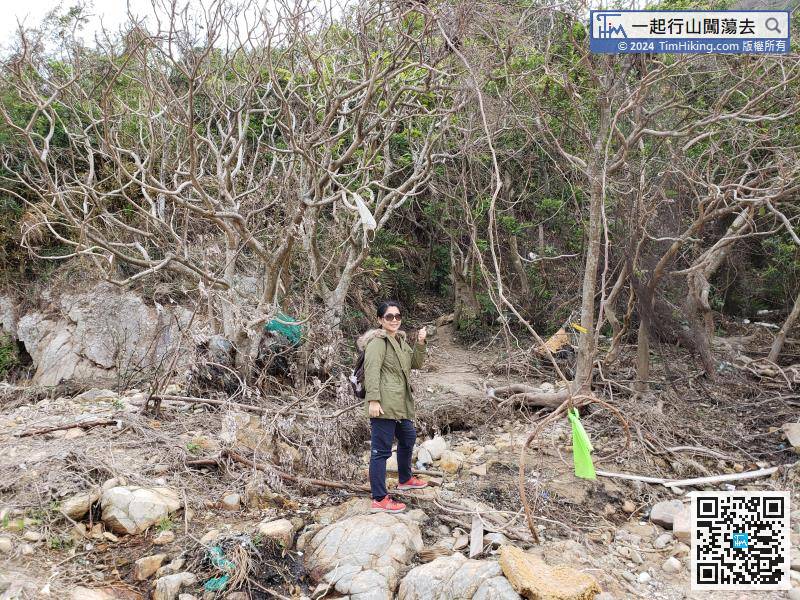
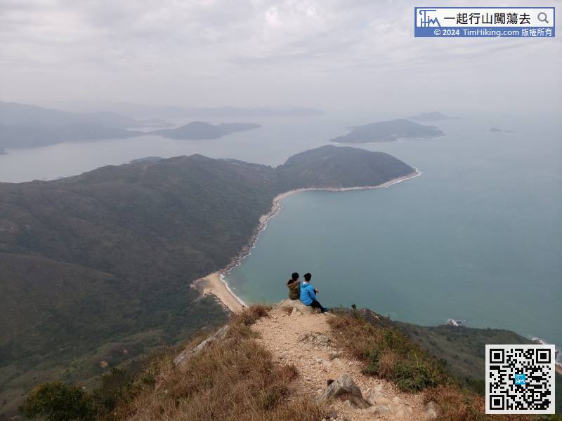
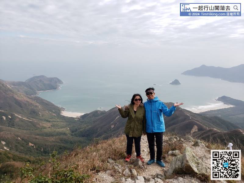
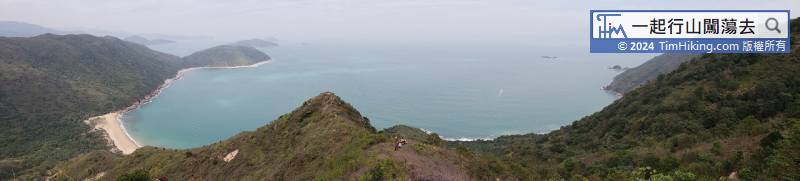
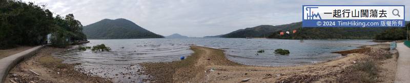
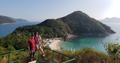
At the end of the beach, will find a very obvious road, which is the entrance to Sharp Peak North Ridge.
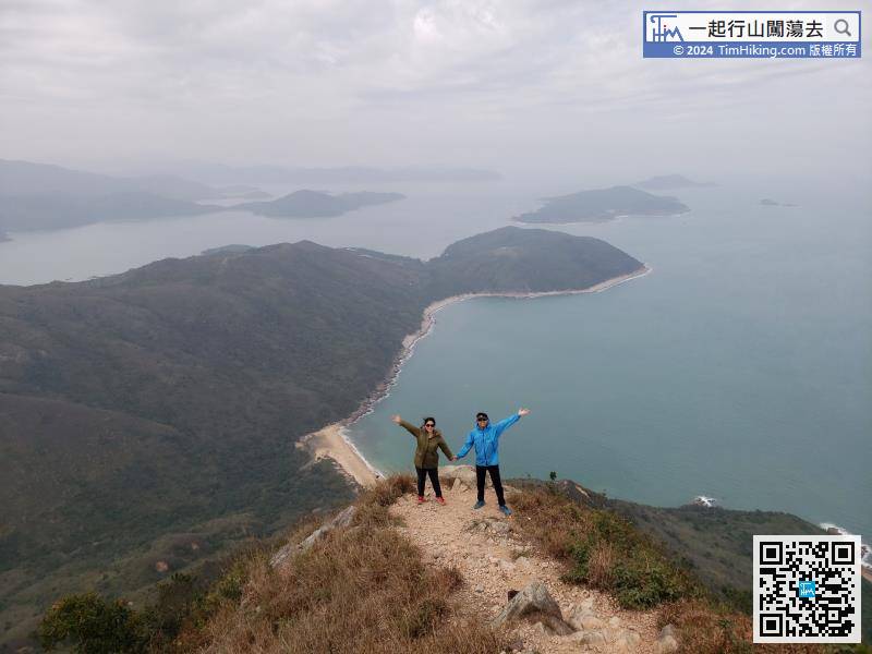
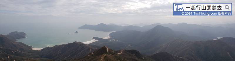
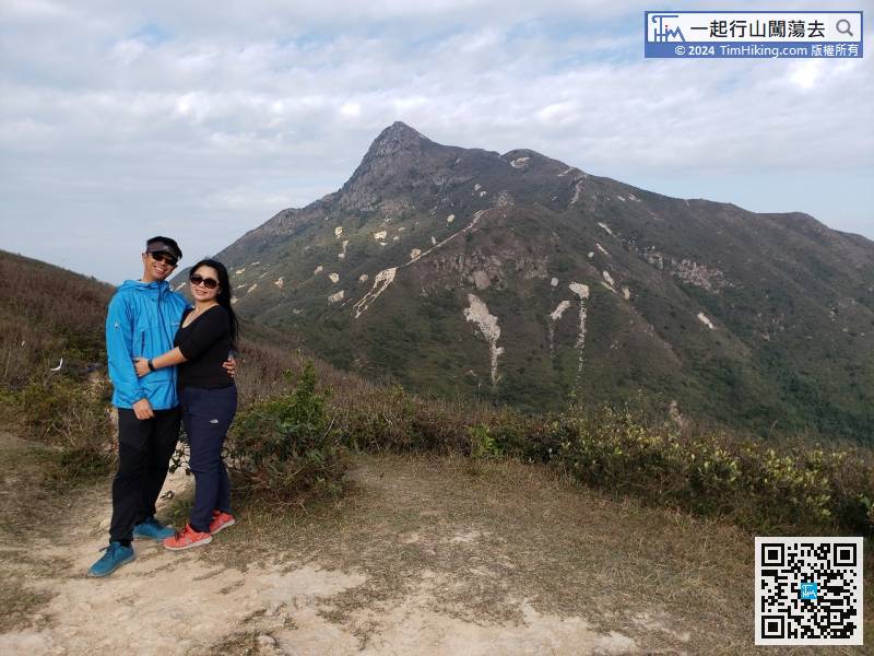
In Section 2, the slope is mainly composed of boulders. In comparison, it is much easier and this section is not long.
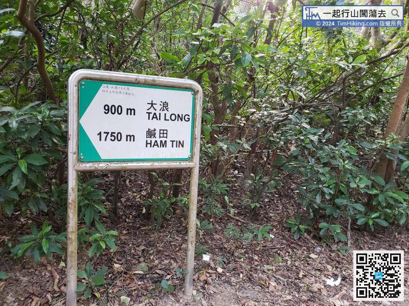
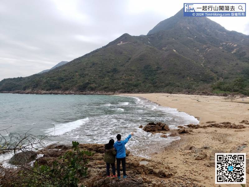
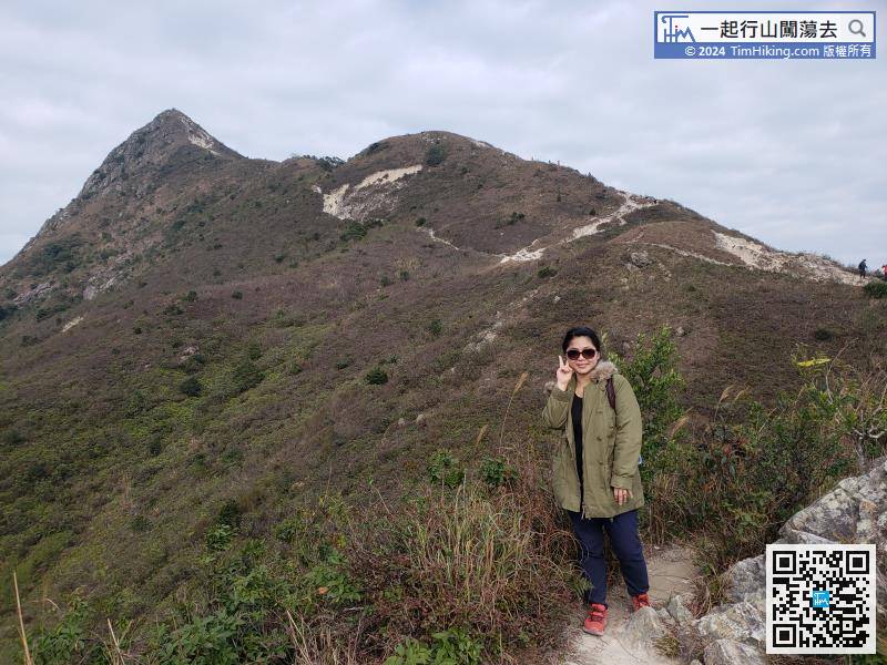
Turn right here to Pak Tam Au, which is the opposite direction to Tai Long Wan.


