


 Recommend YouTube


| View : |  | ||
| Difficulty : |  | ||
| Path : | |||
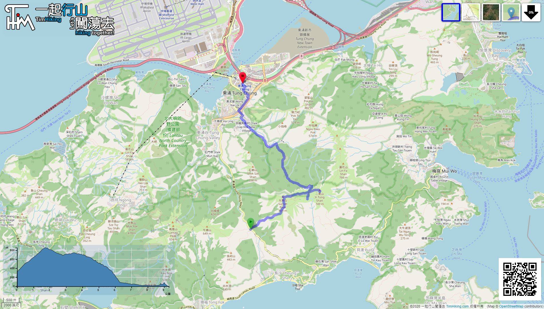
| Length : | 9.4km | ||
| Estimate : | 6hours | ||
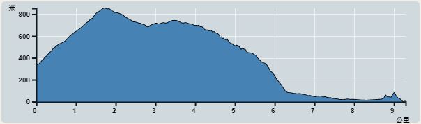 | |
| Ascent : 854m | Descent : 958m |
| Max : 854m | Min : 0m |
| (The accuracy of elevation is +/-30m) | |


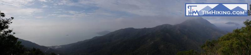
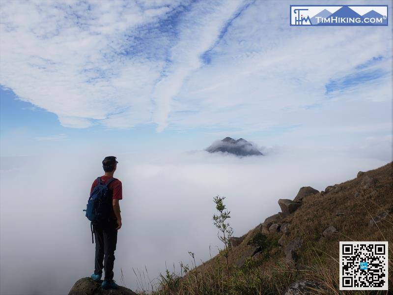
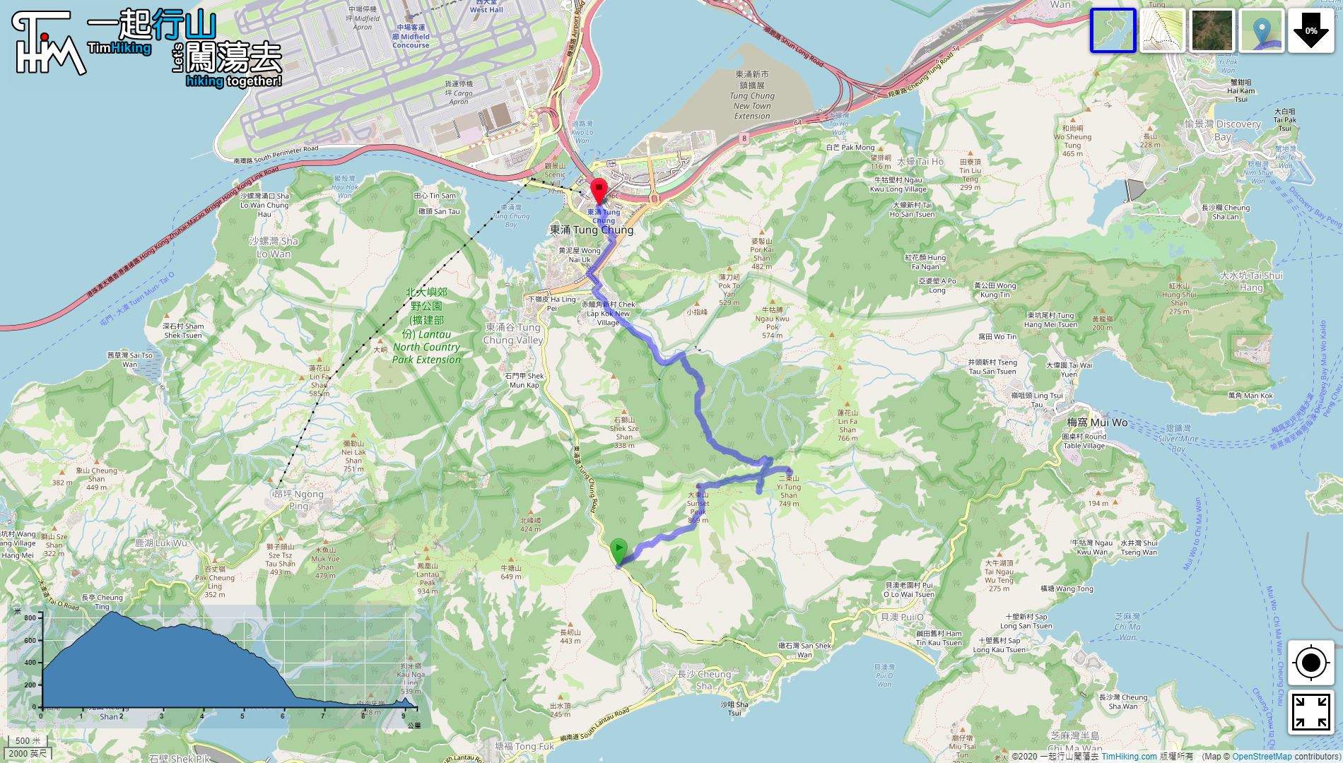
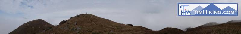
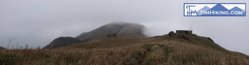
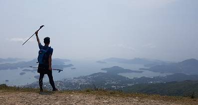
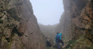
Lantau Peak can be seen next to Springboard Rock. This time, lucky to encounter the rare sea of clouds,
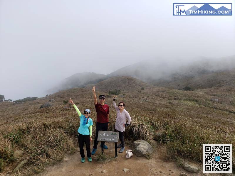
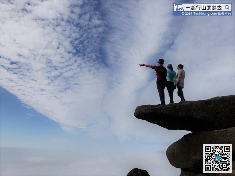
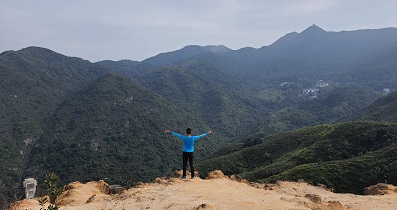
There is a wooden sign on the top of Sunset Peak, which shows 'Sunset Peak Sunset Peak 869 meters.'
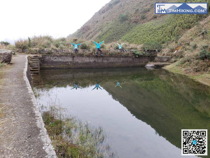
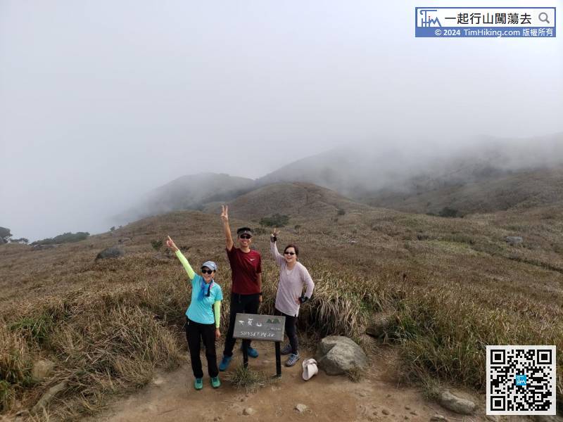
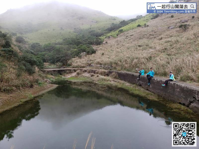
The Sky Pool is actually a large storage tank built by foreign missionaries.
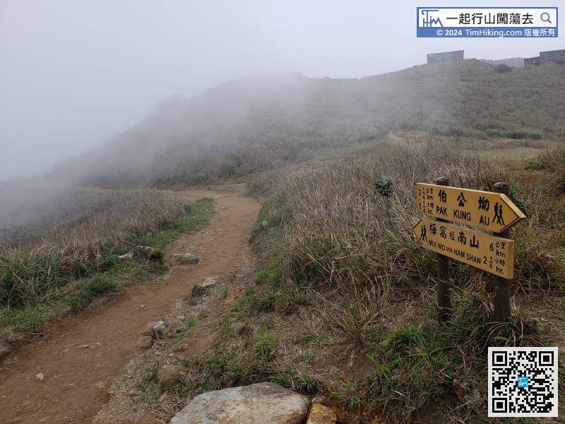
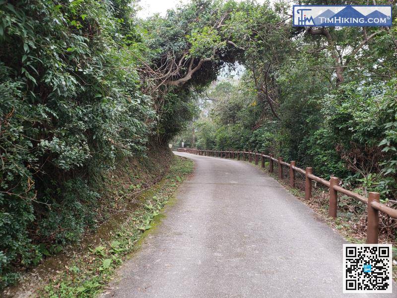
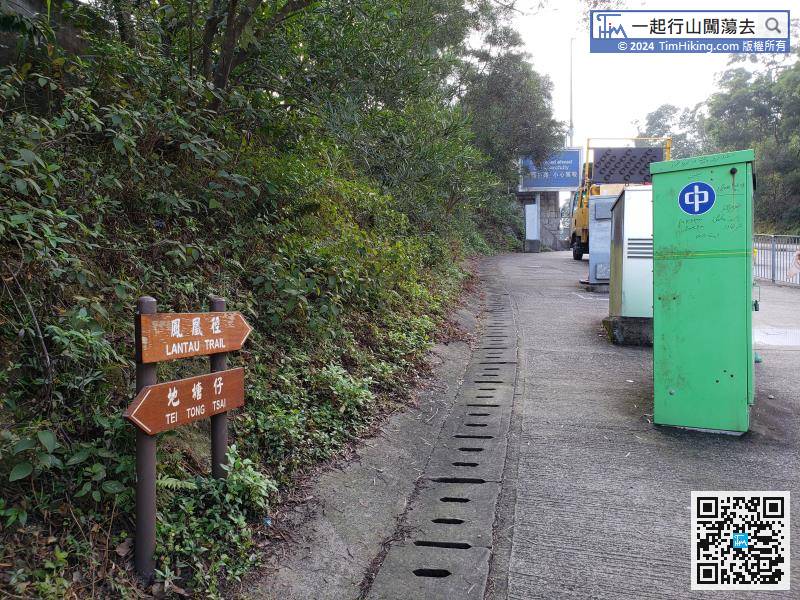
After reaching the foot of the mountain, there are all concrete roads. First turn left,


