


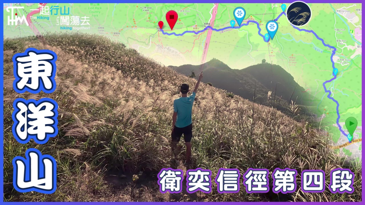
 Recommend YouTube

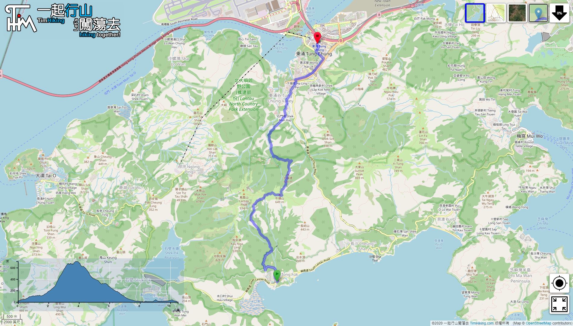

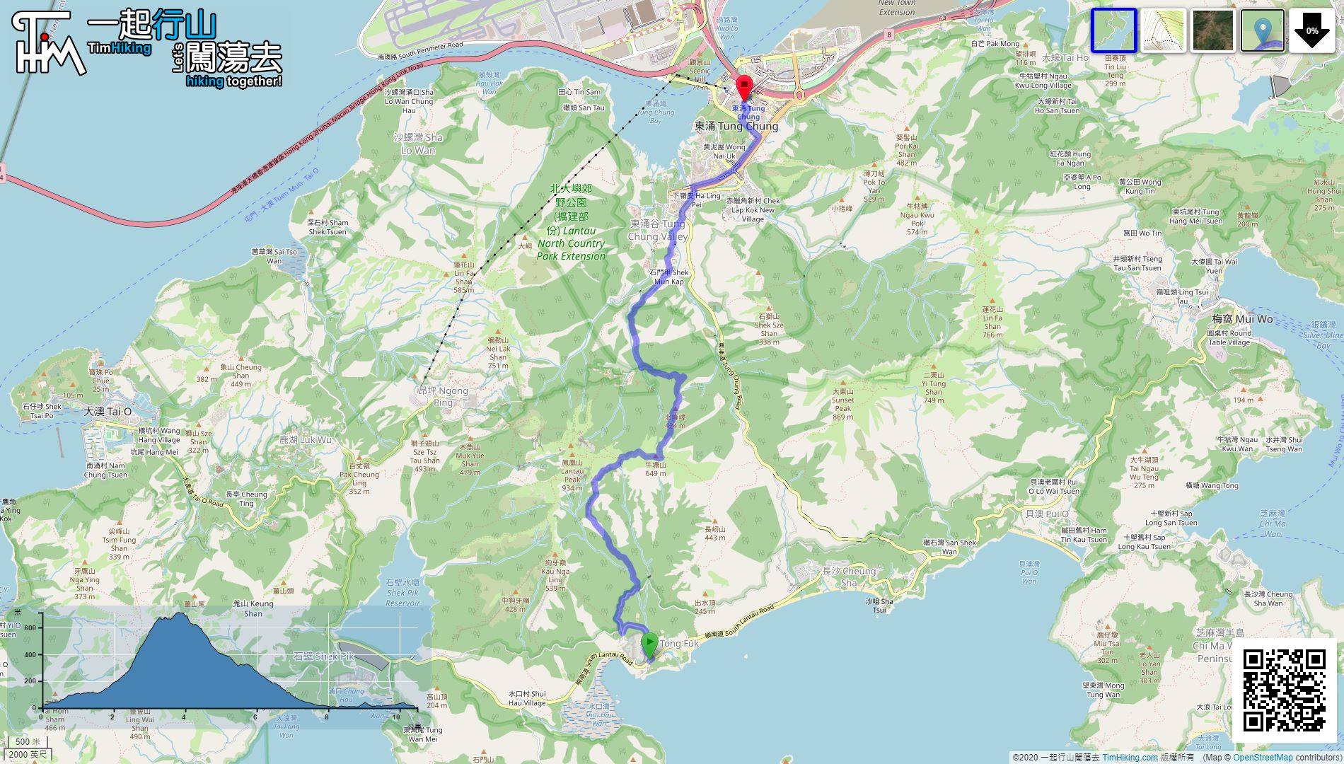
| View : |  | ||
| Difficulty : |  | ||
| Path : | |||
| Length : | 10.5km | ||
| Estimate : | 6hours | ||
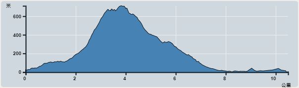 | |
| Ascent : 724m | Descent : 734m |
| Max : 711m | Min : 0m |
| (The accuracy of elevation is +/-30m) | |


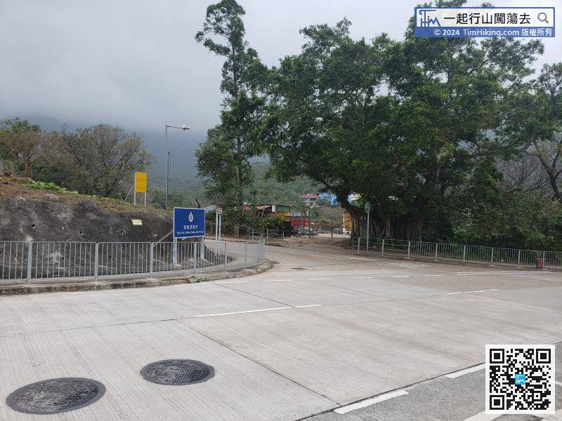
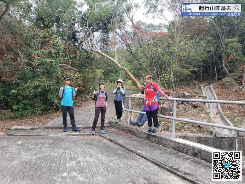
After getting off, will see the Tong Fuk Correctional Institution sign on the opposite side.
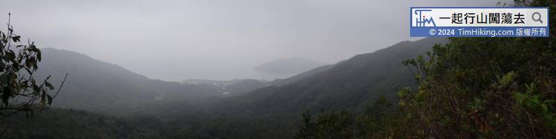
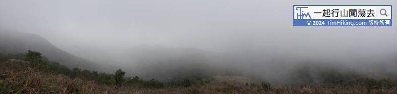
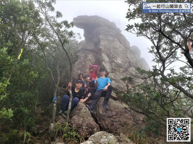
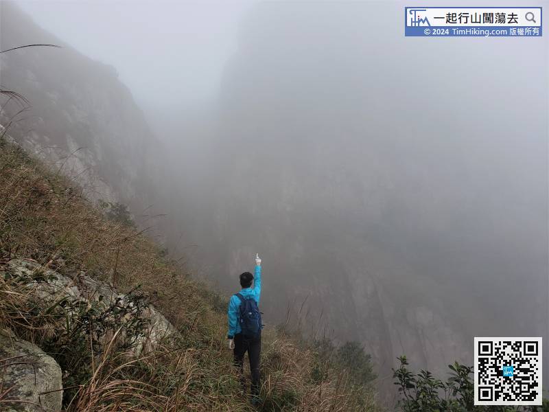
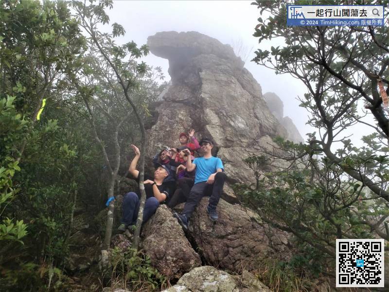
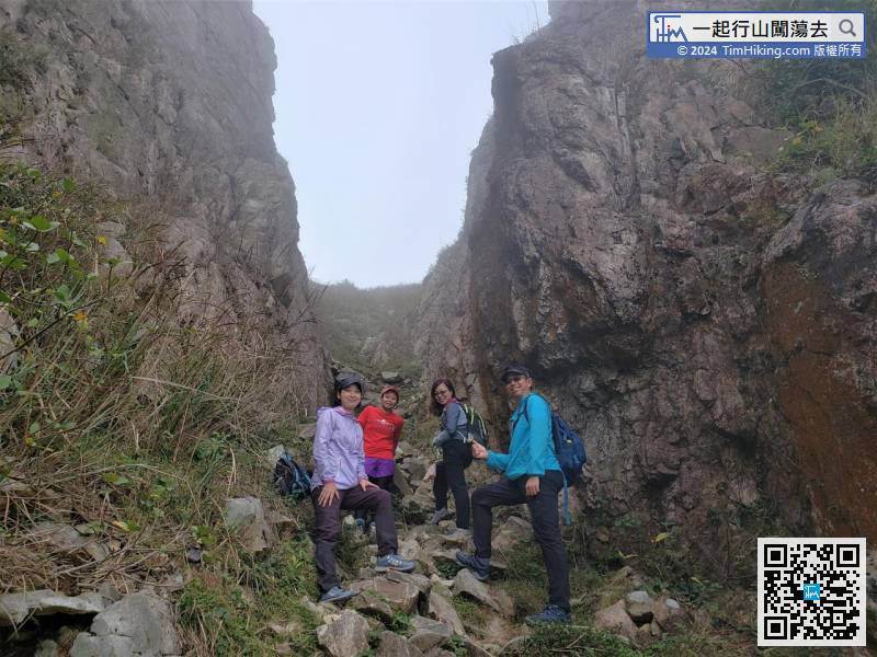
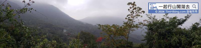
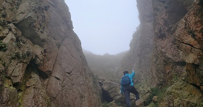
South Heaven Gate is shrouded in thick fog. It is a different sight and adds to the mystery.
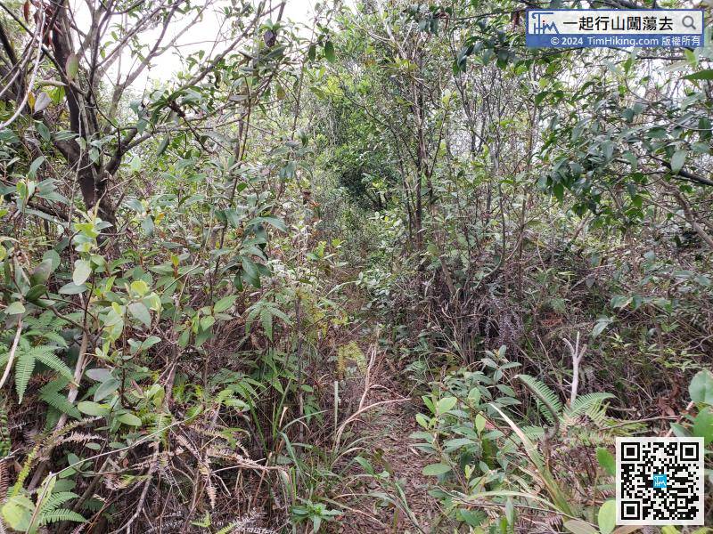
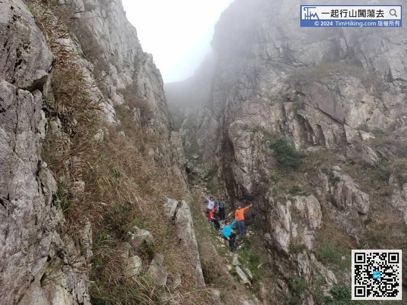
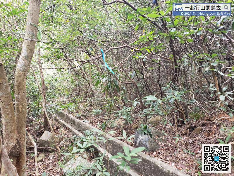
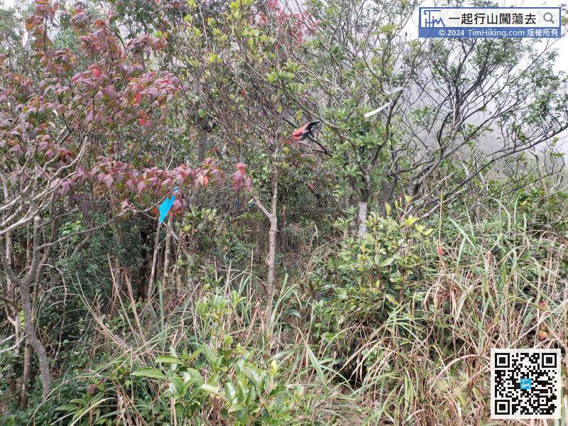
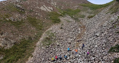
The next jungle section is a bit sloping. There are many trees beside the trail that can be used as handrails, so it is not difficult to walk.


