


 Recommend YouTube


| View : |  | ||
| Difficulty : |  | ||
| Path : | |||
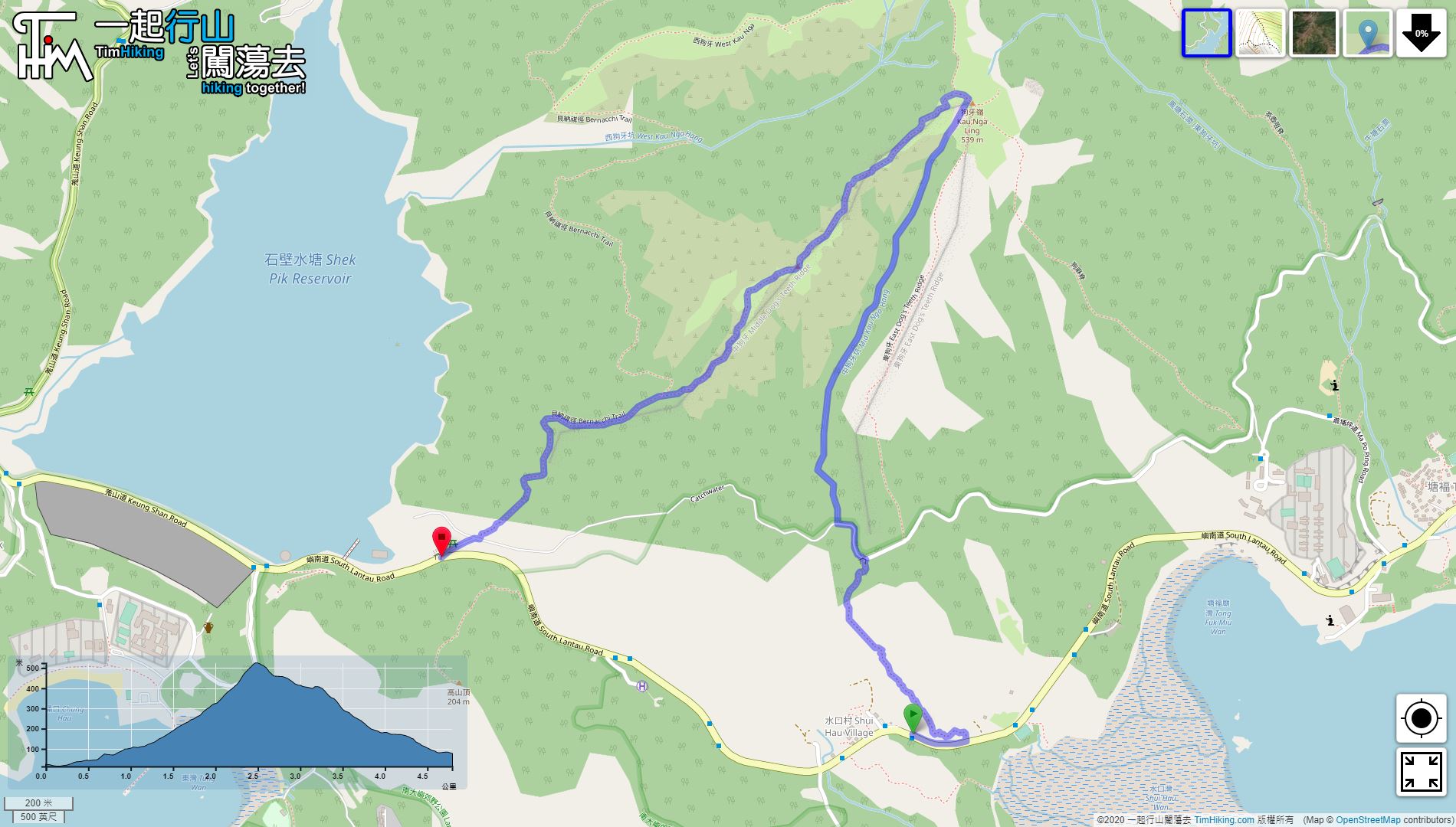
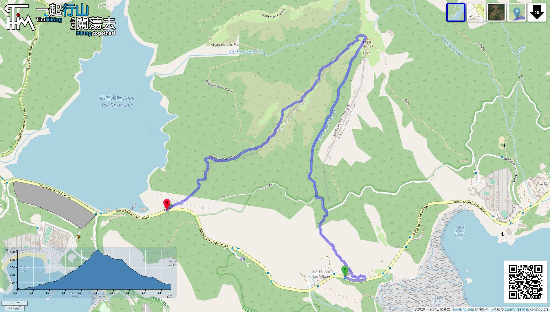
| Length : | 4.8km | ||
| Estimate : | 5hours | ||
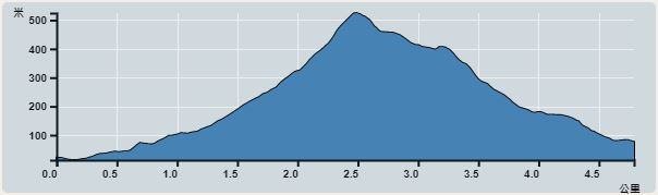 | |
| Ascent : 511m | Descent : 511m |
| Max : 524m | Min : 13m |
| (The accuracy of elevation is +/-30m) | |


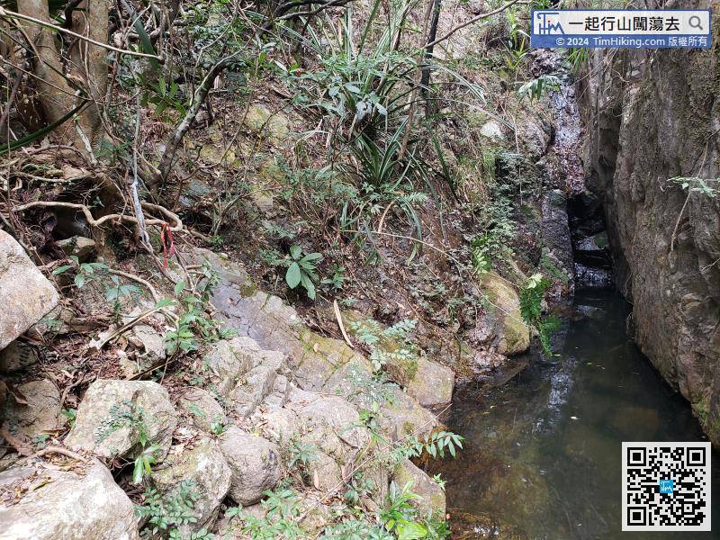
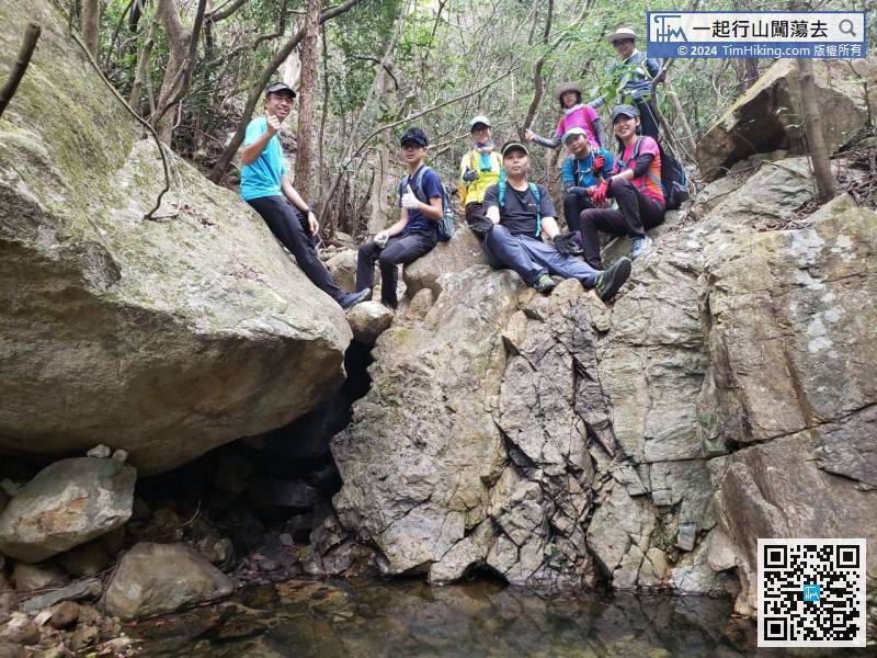
When stepping into the stream, it can be said to be shocked one step at a time.
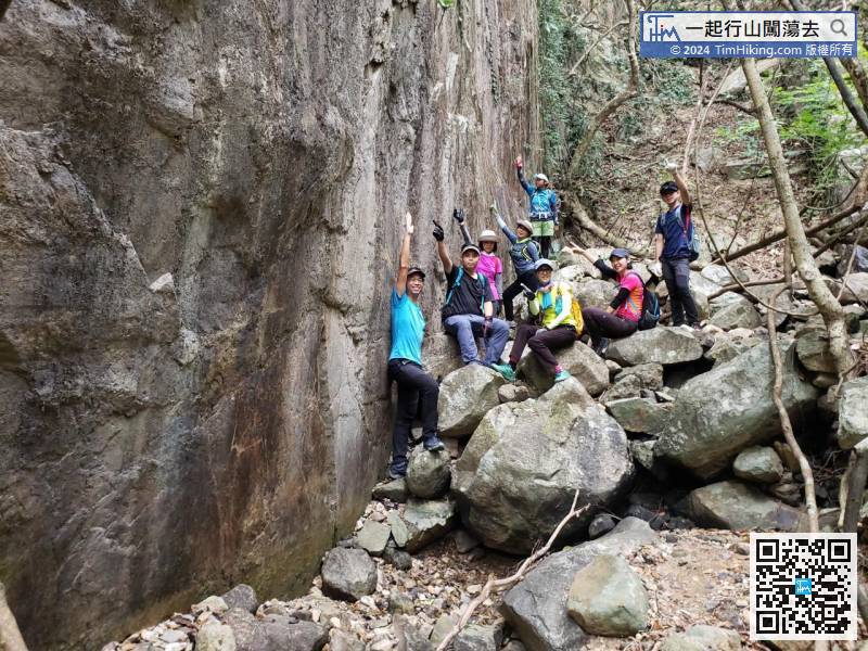
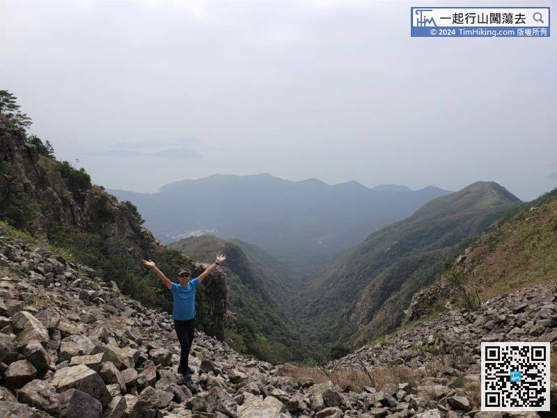
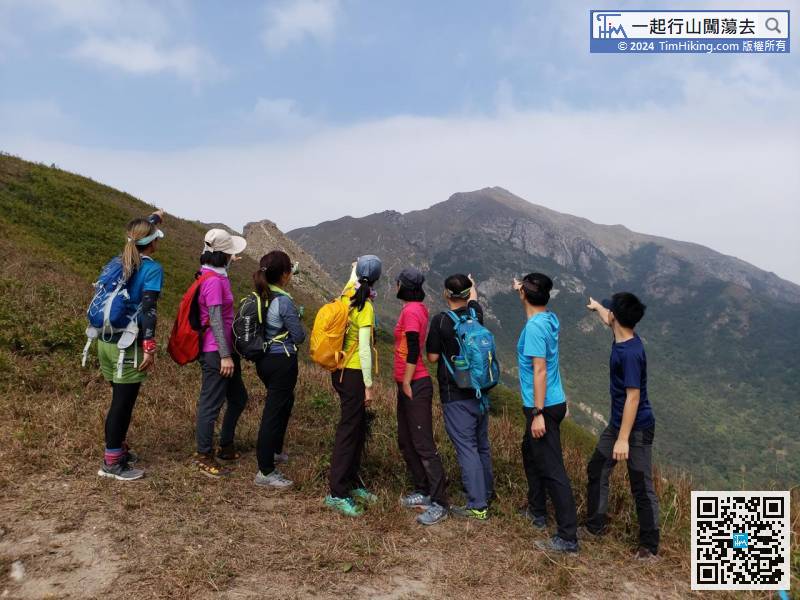
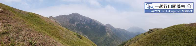
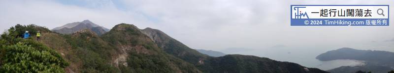
To leave Tiger Roar Rock River, face Lantau Peak and turn left.


