


 Recommend YouTube


| View : |  | ||
| Difficulty : |  | ||
| Path : | |||
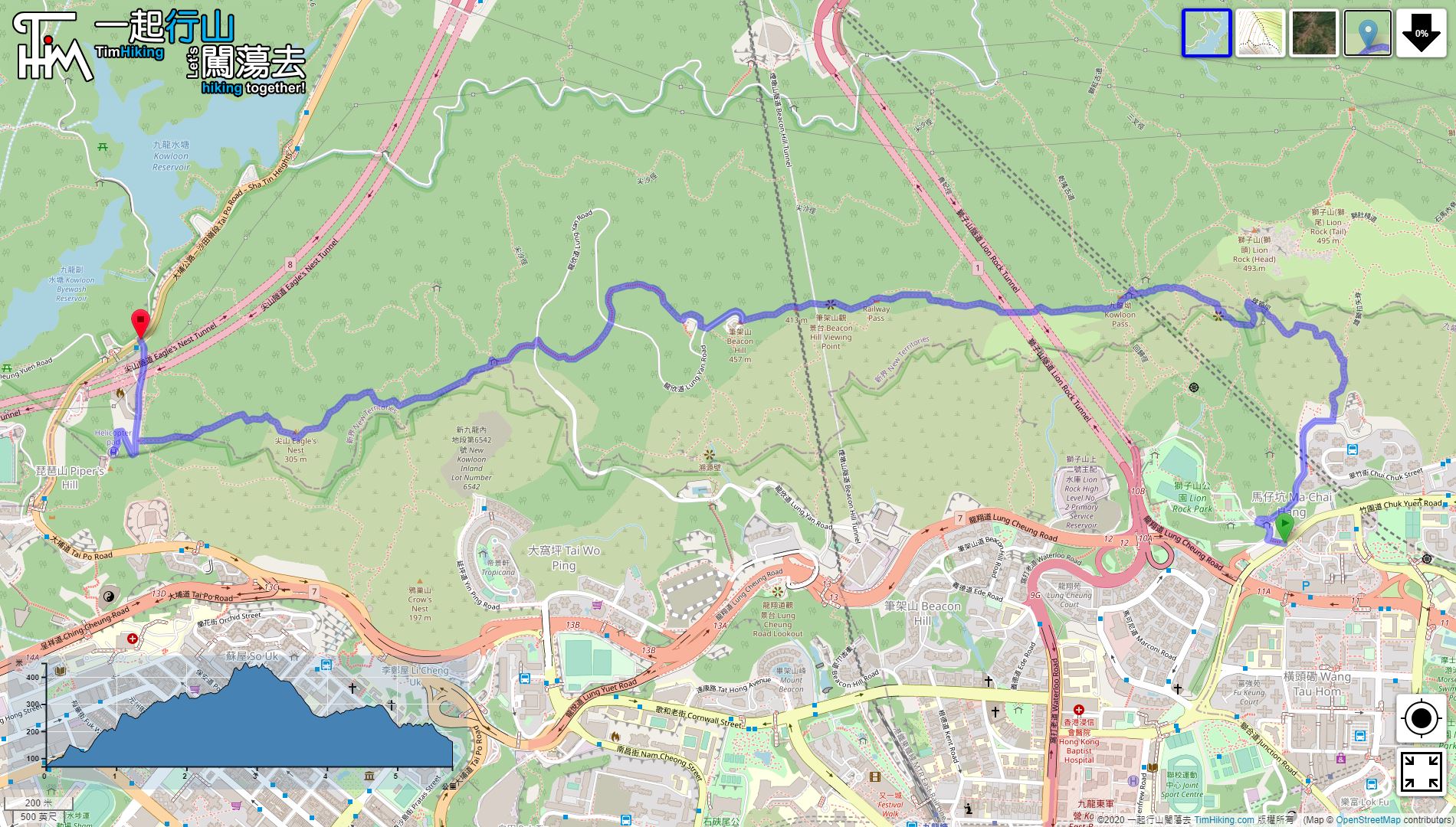
| Length : | 5.8km | ||
| Estimate : | 4½hours | ||
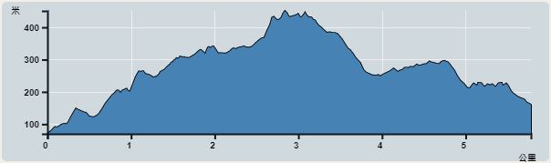 | |
| Ascent : 440m | Descent : 381m |
| Max : 451m | Min : 70m |
| (The accuracy of elevation is +/-30m) | |


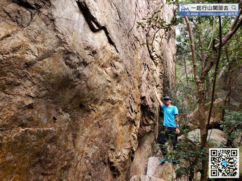
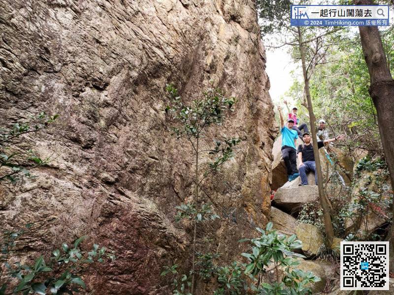
Hum Sze Lak Chi Rock is very high and huge in size, like a cliff.

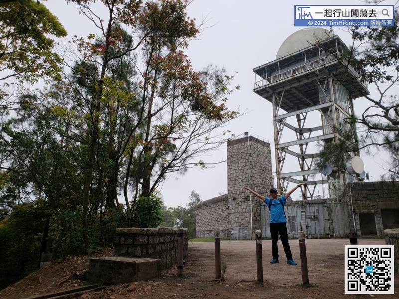
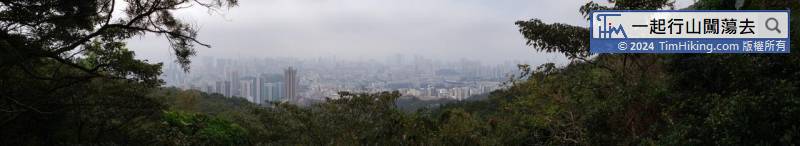
Above the Radar Station of Beacon Hill, there is a trigonometrical station nearby. It is within the area of the observatory and cannot be entered.


