


 Recommend YouTube


| View : |  | ||
| Difficulty : |  | ||
| Path : | |||
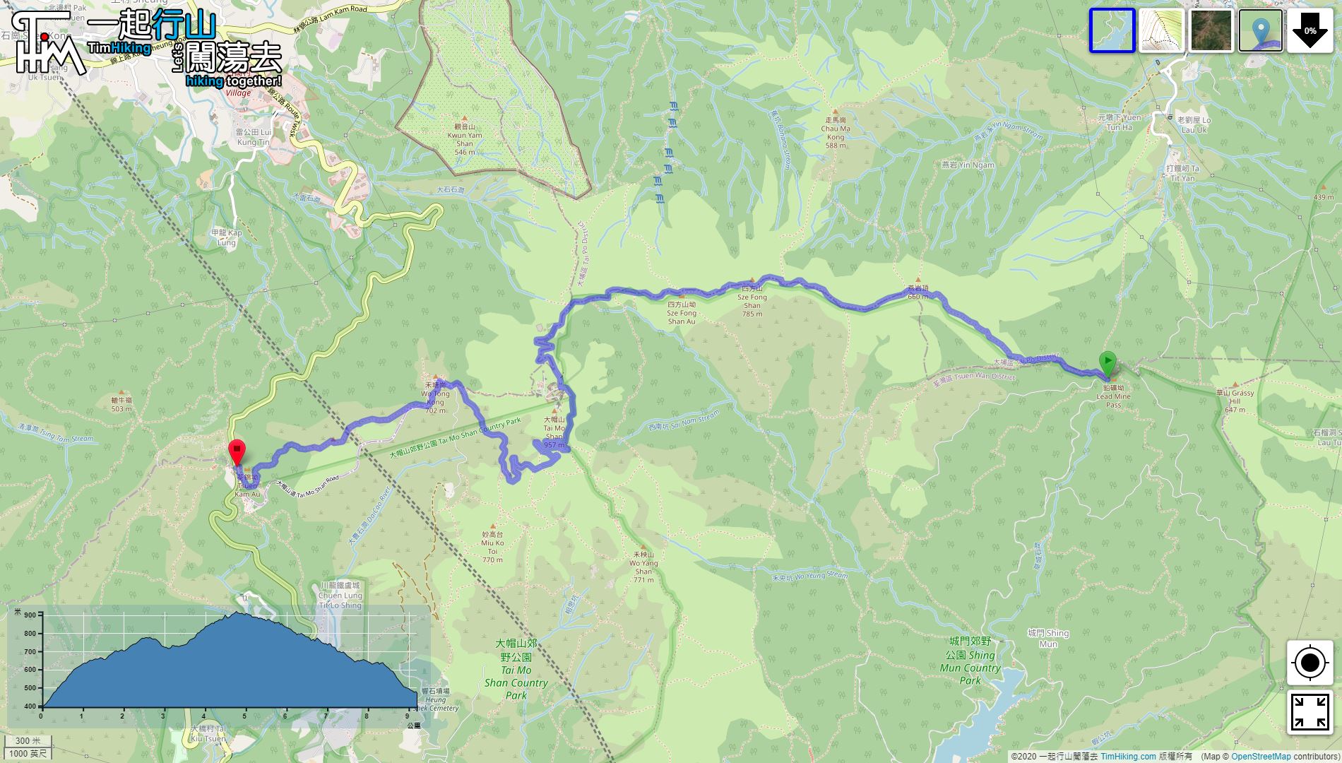
| Length : | 9.2km | ||
| Estimate : | 4hours | ||
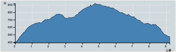 | |
| Ascent : 557m | Descent : 527m |
| Max : 919m | Min : 392m |
| (The accuracy of elevation is +/-30m) | |


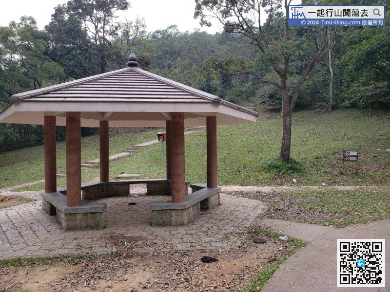
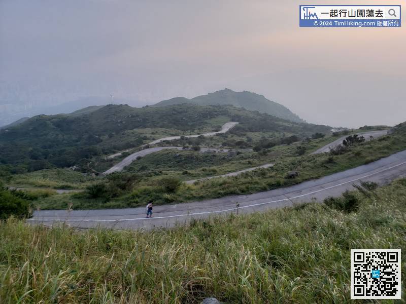
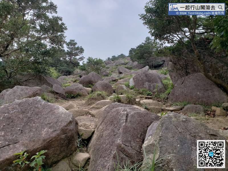
Besides the Lead Mine Pass pavilion, there is an imposing and straight step,
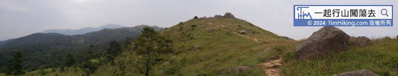
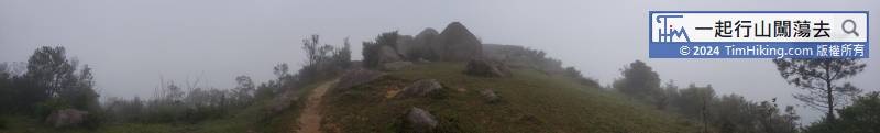
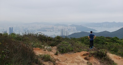
When coming to the relatively flat section of the mountain trail, the small hill on the left is Yin Ngam Teng.
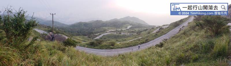
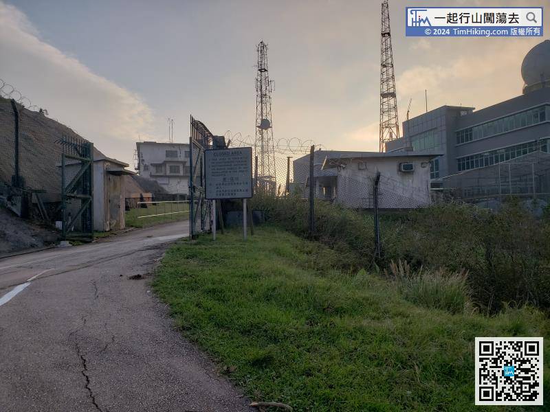
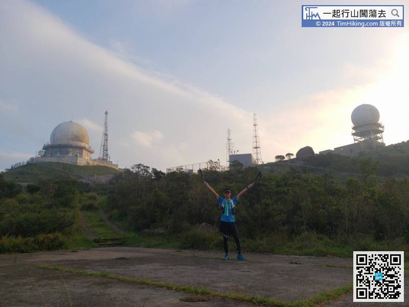
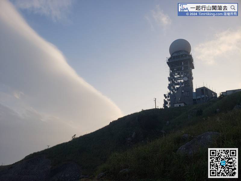
On the right of the top of the mountain is the restricted area of the observatory,
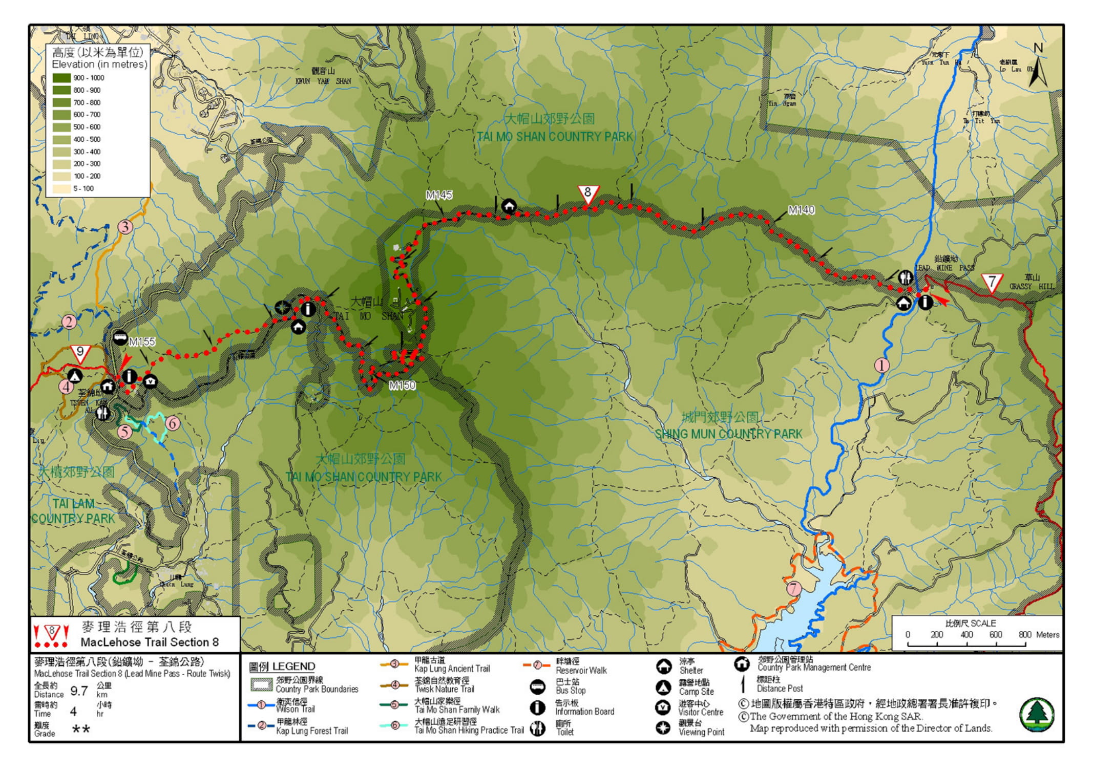
Official Map


