


 Recommend YouTube

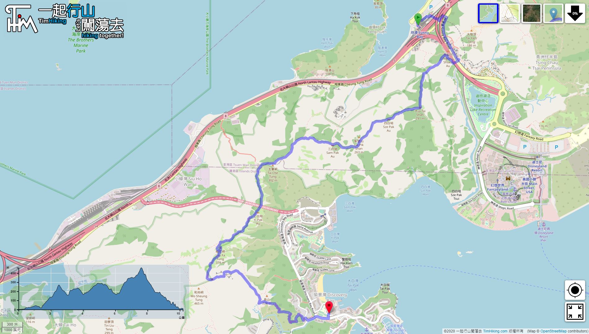

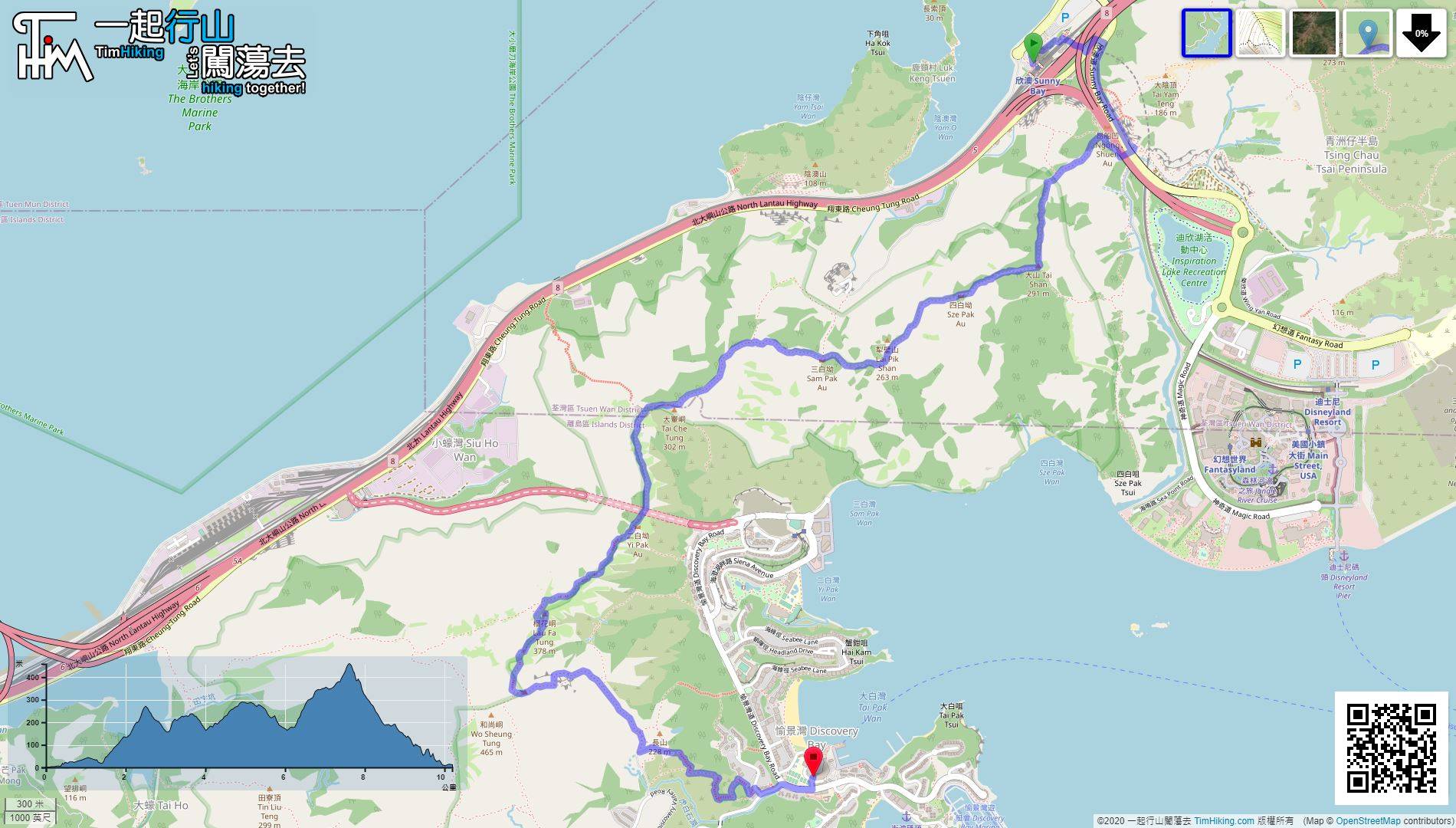
| View : |  | ||
| Difficulty : |  | ||
| Path : | |||
| Length : | 10.4km | ||
| Estimate : | 5hours | ||
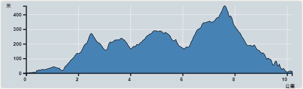 | |
| Ascent : 724m | Descent : 714m |
| Max : 458m | Min : 0m |
| (The accuracy of elevation is +/-30m) | |


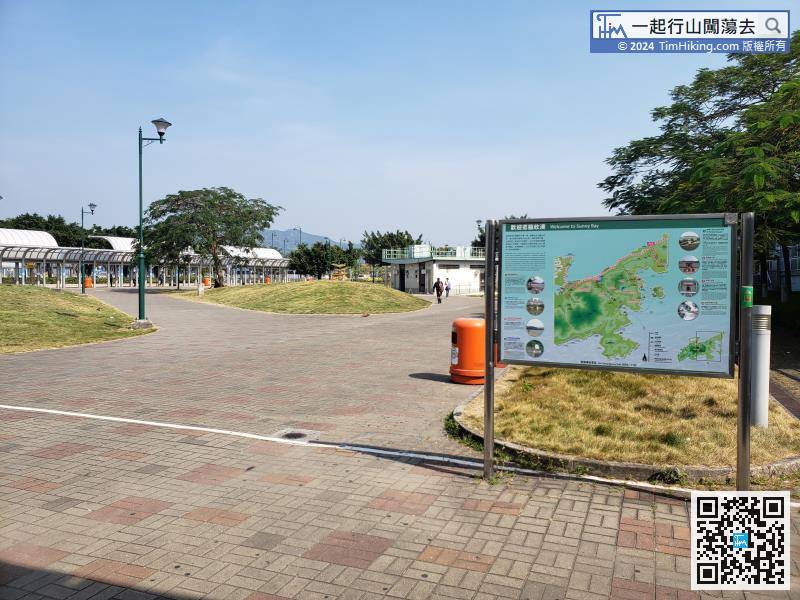
Leaving Sunny Bay Station, there is a large information plate introducing Sunny Bay,
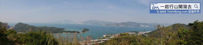
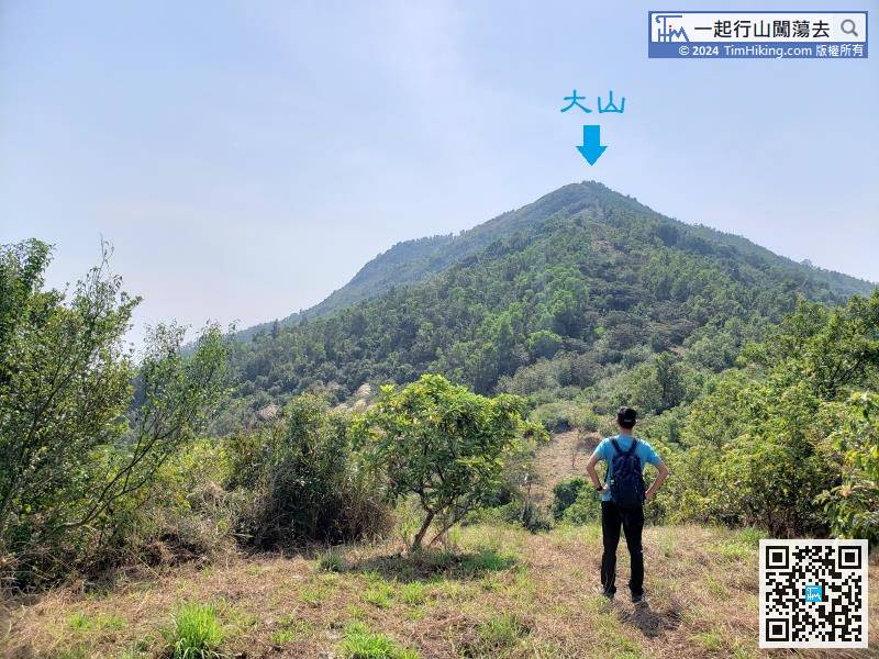
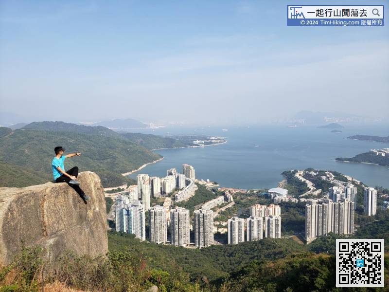
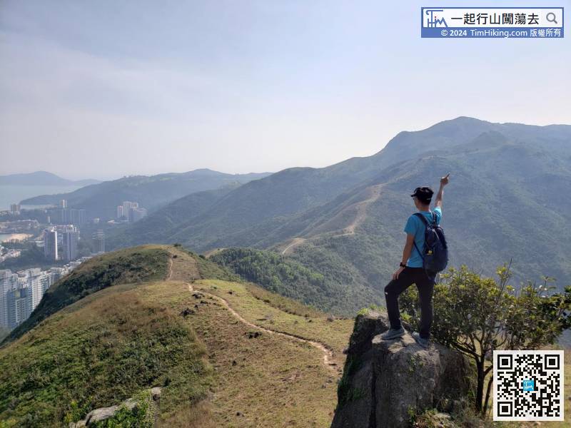
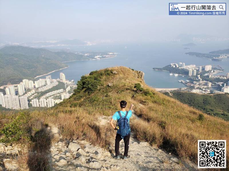
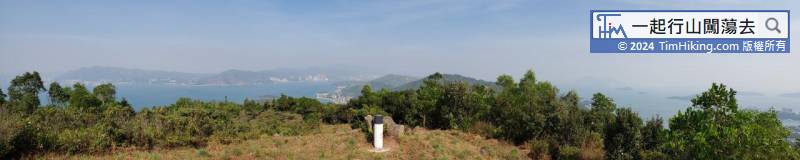
Tai Shan's altitude is 291 meters, and the current altitude is about 140 meters.
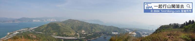
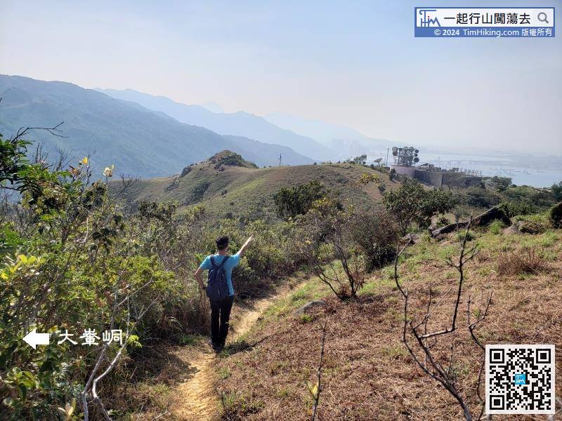
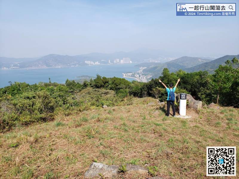
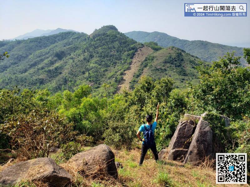
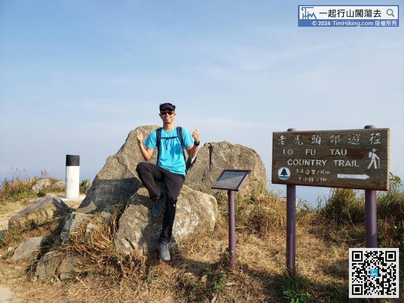
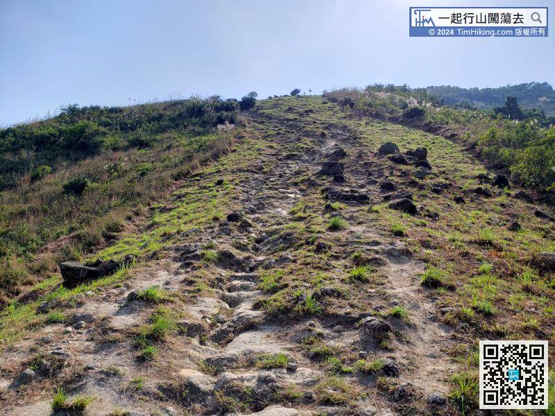
There is no trigonometrical station on the top of Tai Che Tung. Just walk forward about 300 meters. It is a small plain.
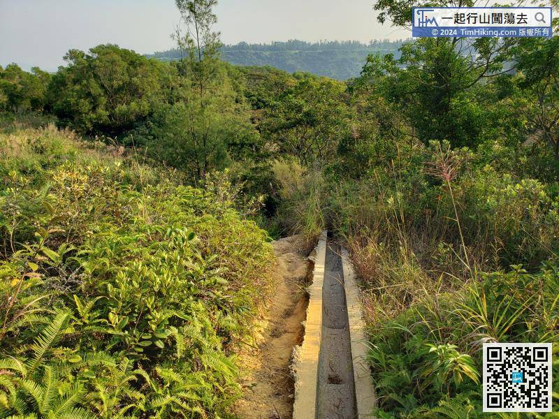
At the foot of the mountain is a catchwater,


