


 Recommend YouTube


| View : |  | ||
| Difficulty : |  | ||
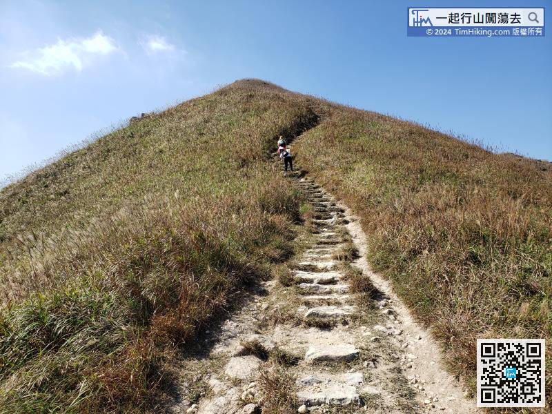
| Path : | |||
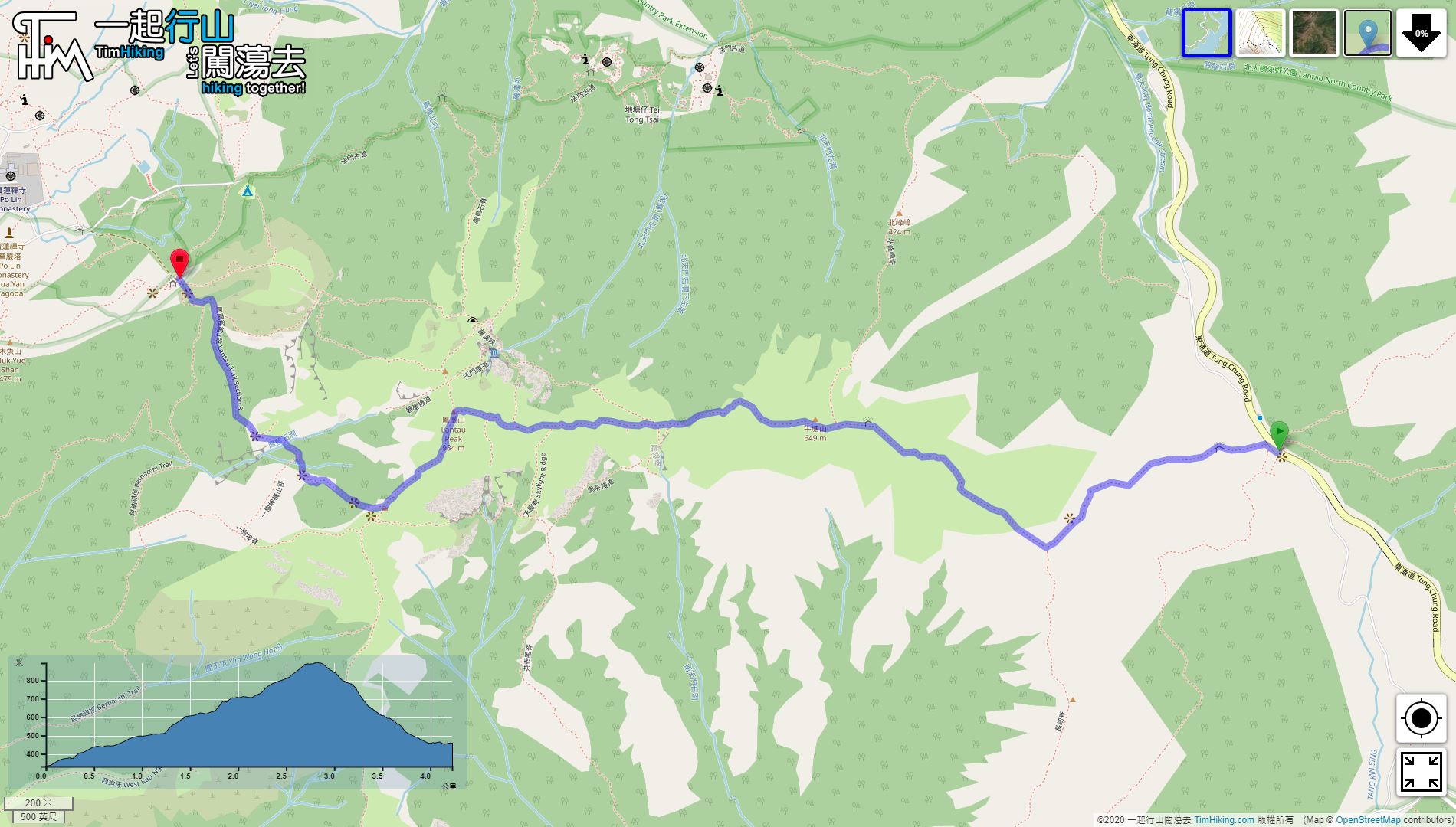
| Length : | 4.4km | ||
| Estimate : | 2¼hours | ||
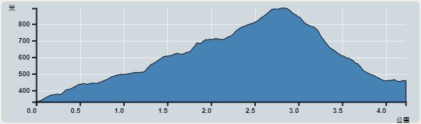 | |
| Ascent : 563m | Descent : 563m |
| Max : 894m | Min : 331m |
| (The accuracy of elevation is +/-30m) | |


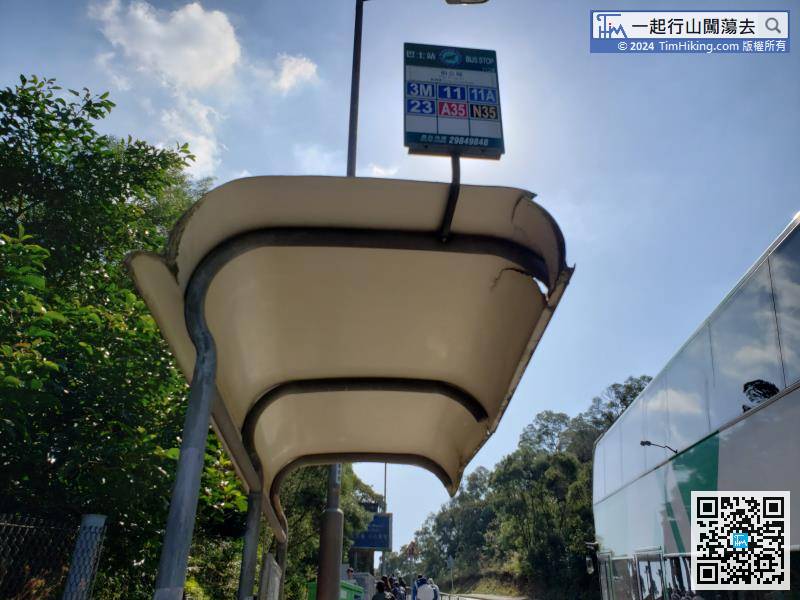
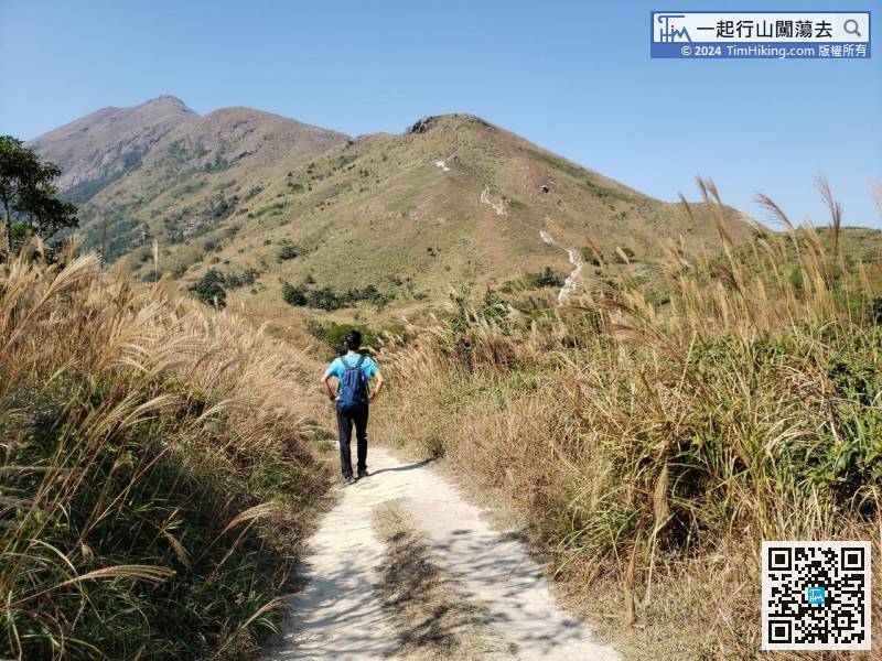
The starting point is at Pak Kung Au. You can take any bus on Lantau Island at Tung Chung and get off at Pak Kung Au.
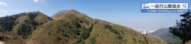
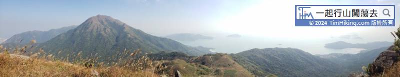

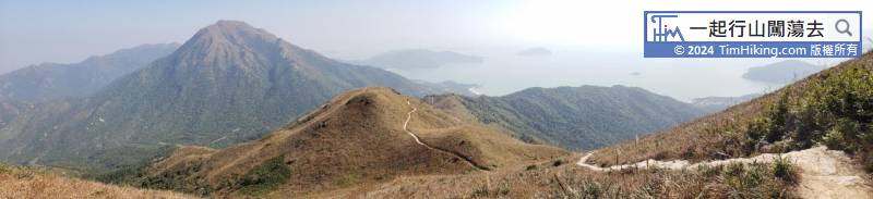
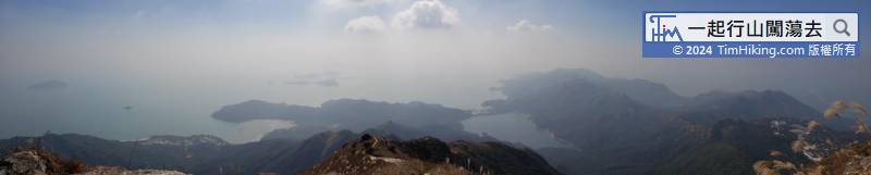
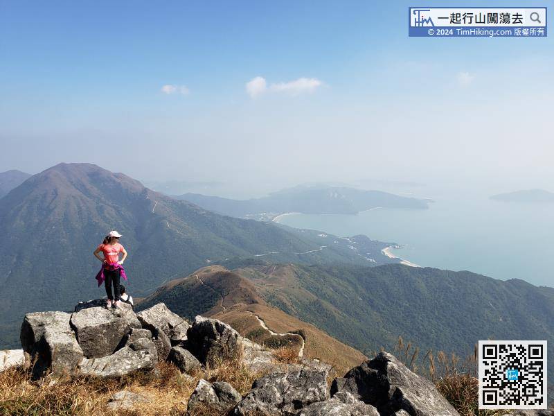
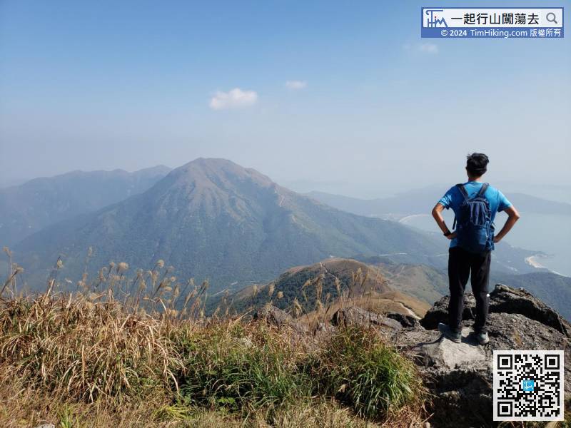
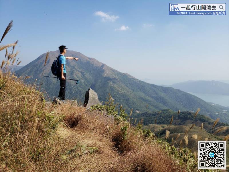
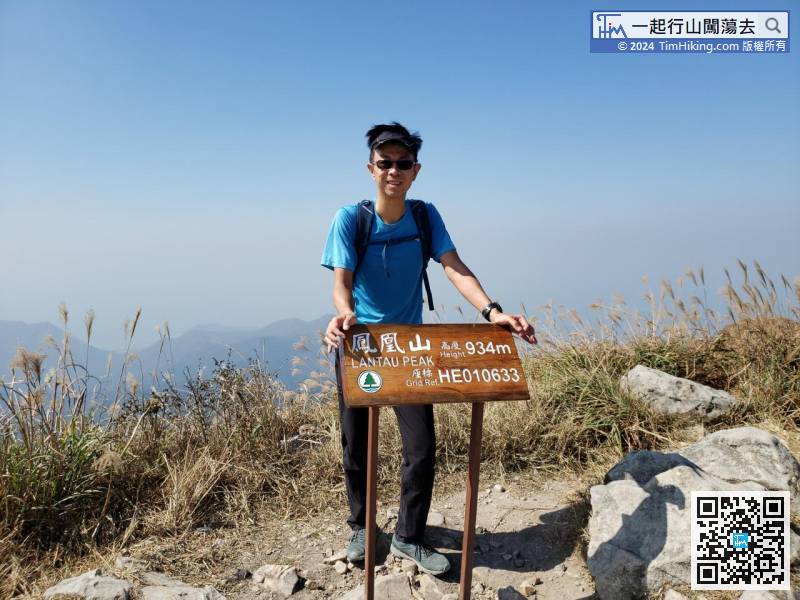
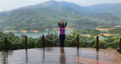
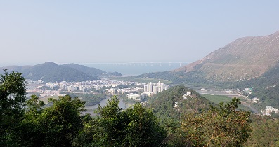
Lantau Peak is the second highest peak in Hong Kong, can enjoy a 360-degree view on the top of the mountain.


