


 Recommend YouTube


| View : |  | ||
| Difficulty : |  | ||
| Path : | |||
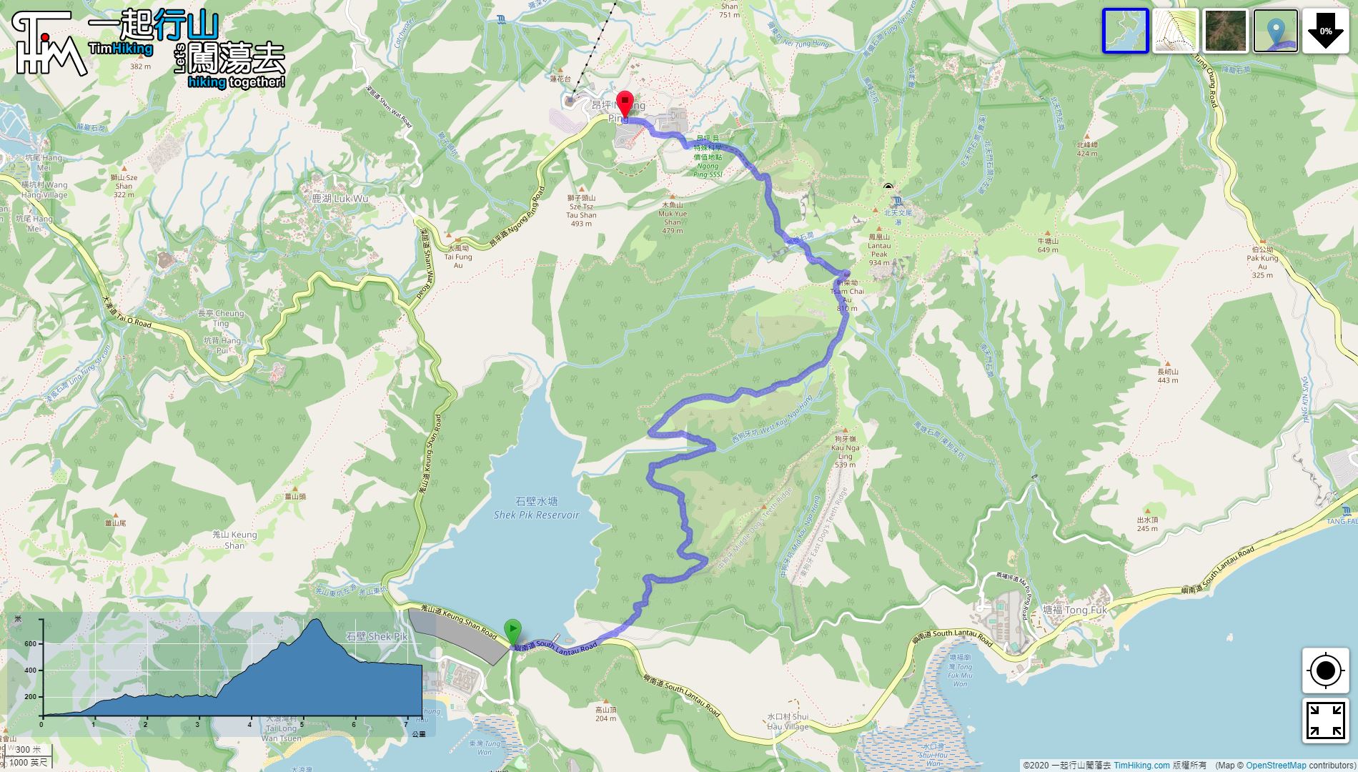
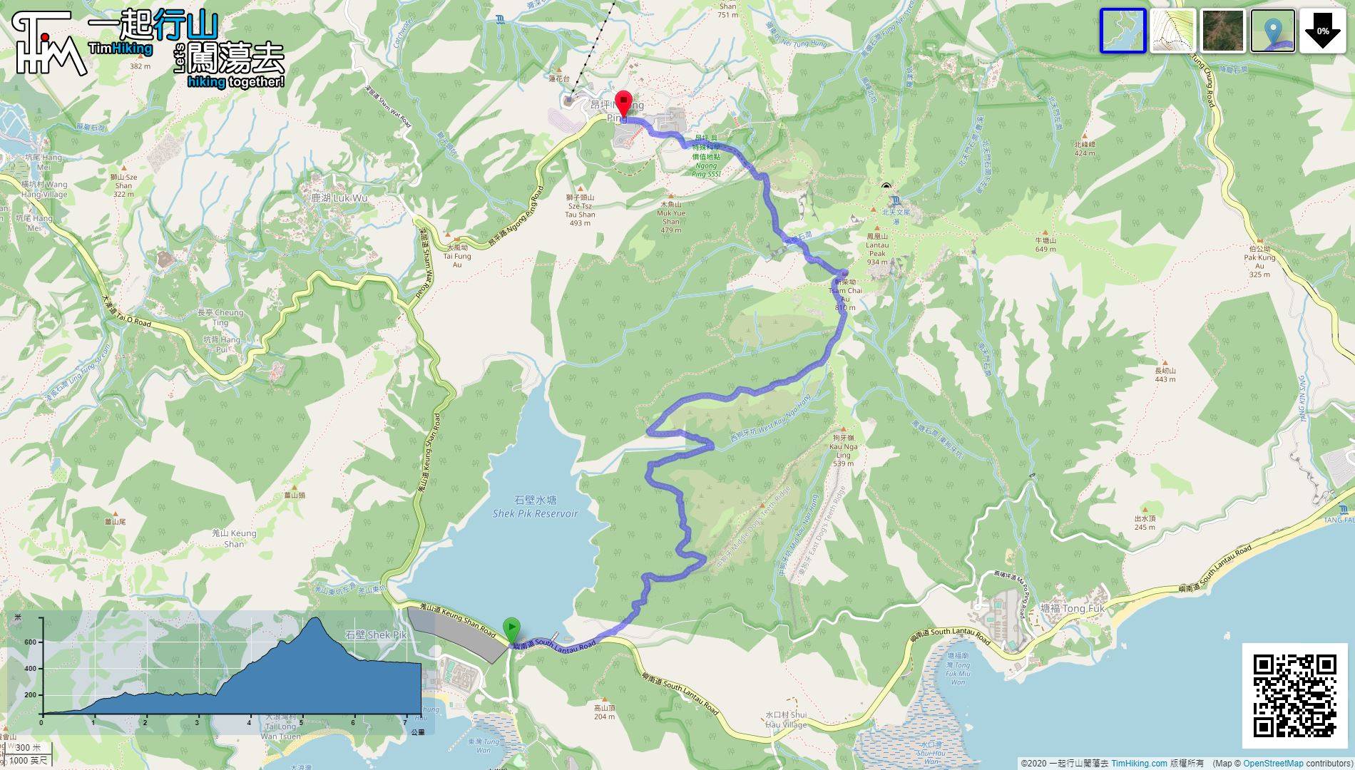
| Length : | 7.3km | ||
| Estimate : | 5hours | ||
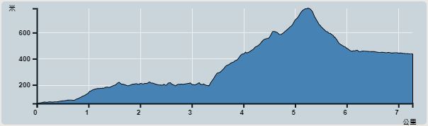 | |
| Ascent : 755m | Descent : 728m |
| Max : 785m | Min : 57m |
| (The accuracy of elevation is +/-30m) | |


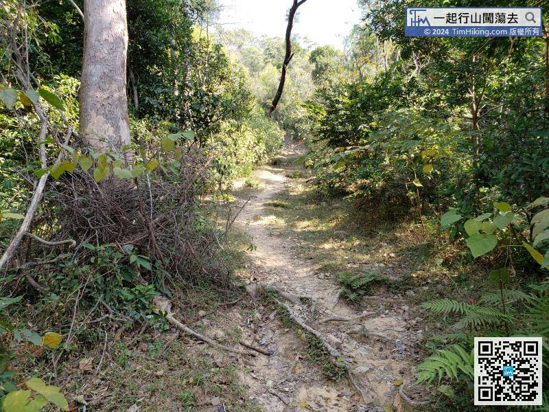

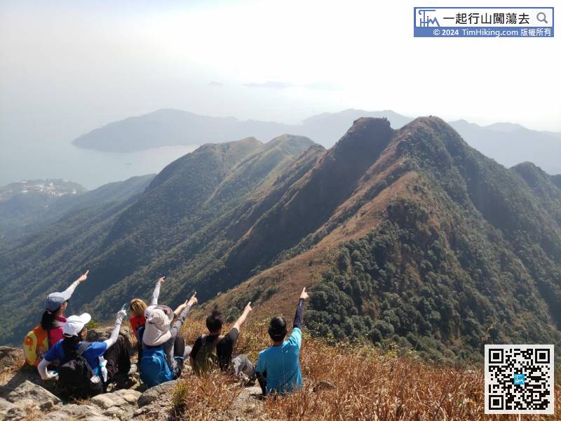
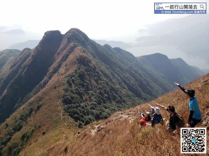
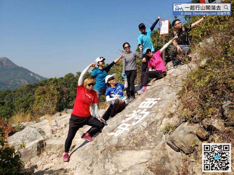
The entrance to Sai Kau Nga Ridge is very obvious. The three Chinese characters Sai Kau Nga Ridge are carved on the big stone.
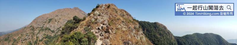

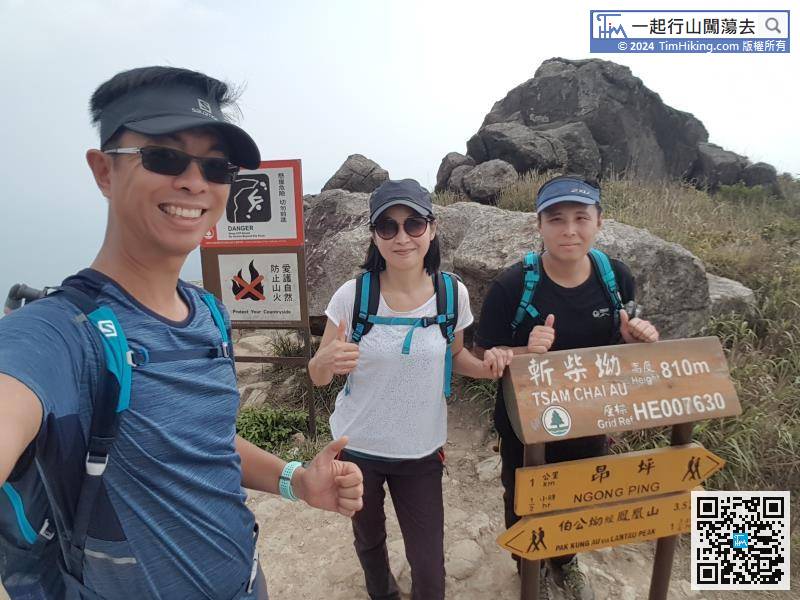
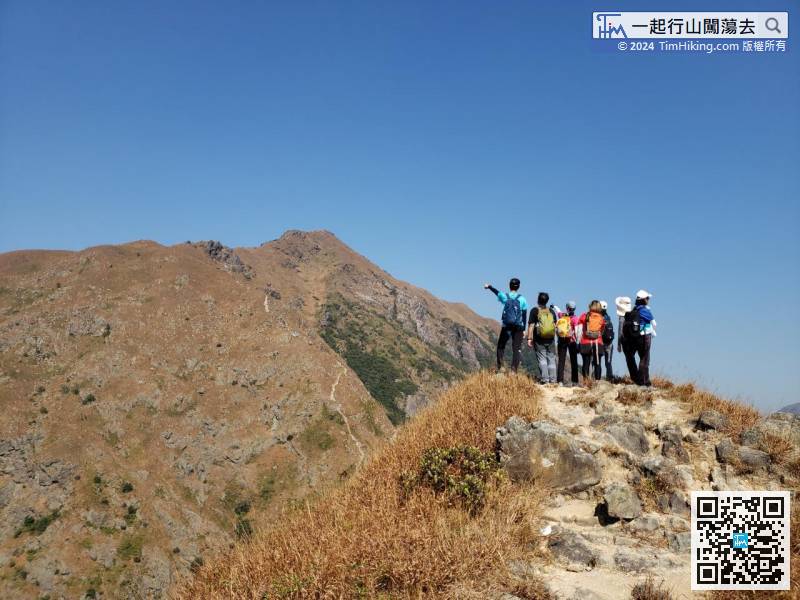
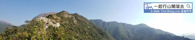
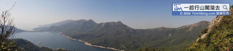
Tsam Chai Au is 810 meters high, which is the highest point of this trip to Sai Kau Nga Ridge.


