


 Recommend YouTube


| View : |  | ||
| Difficulty : |  | ||
| Path : | |||
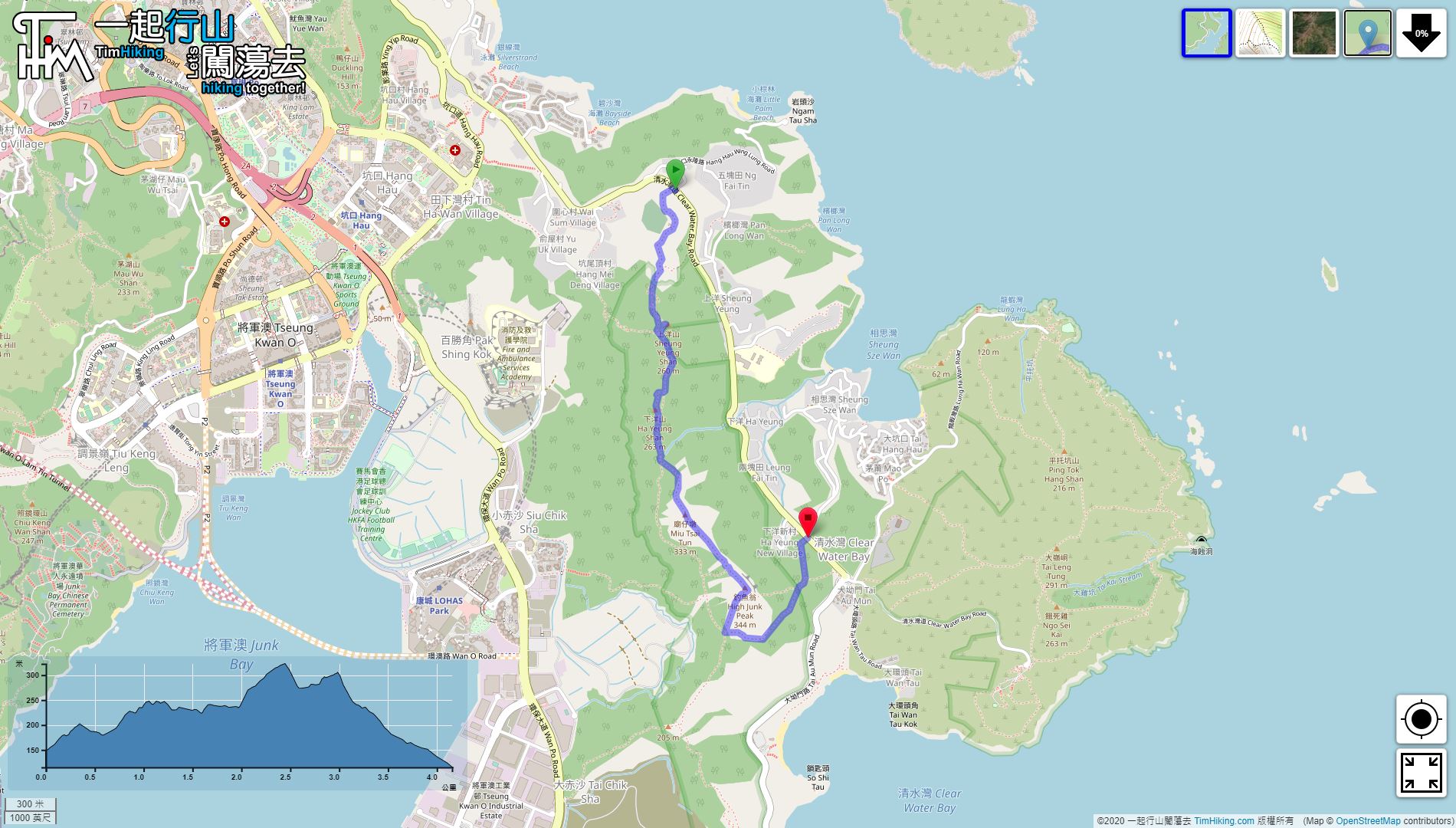
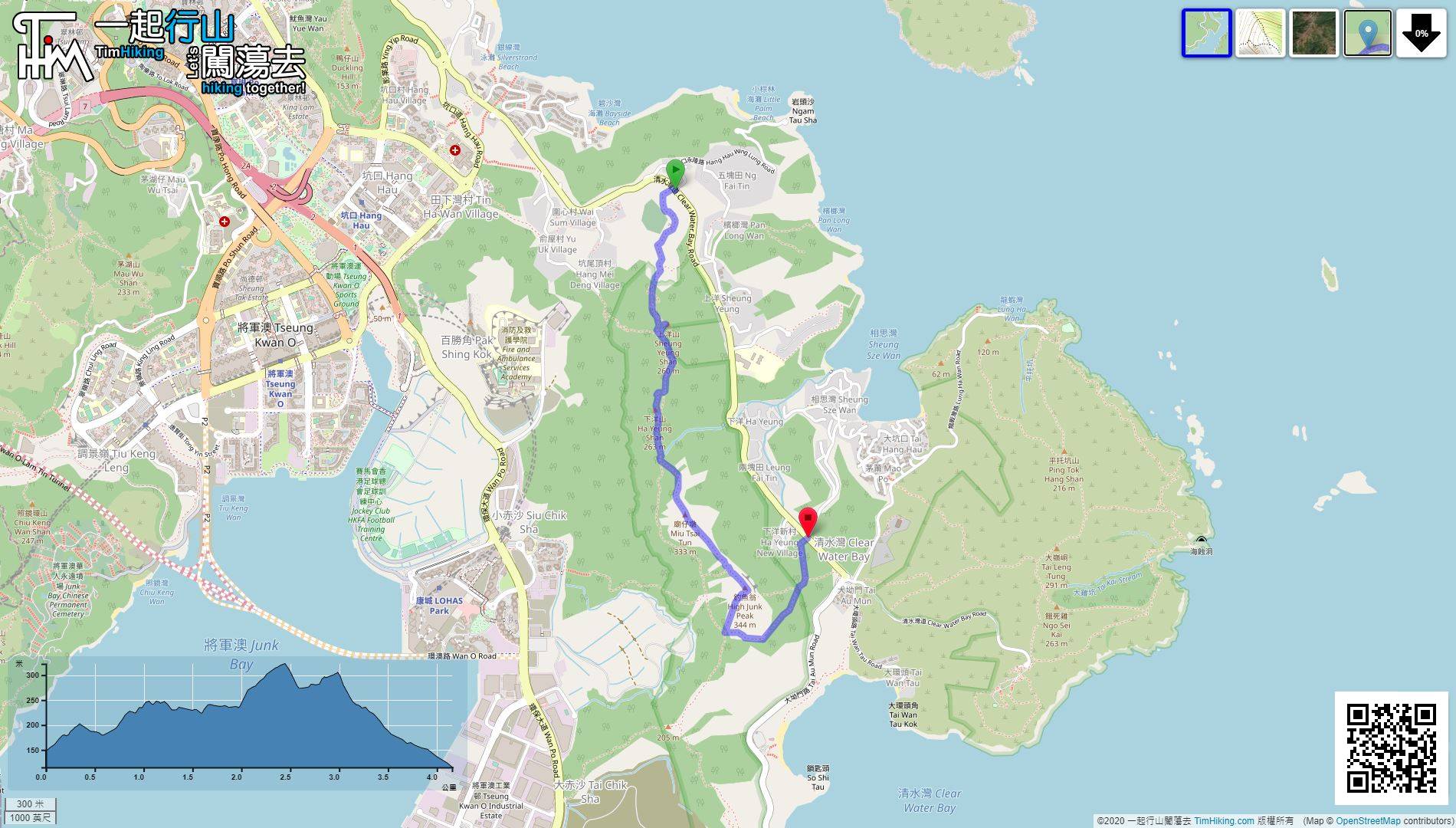
| Length : | 4.2km | ||
| Estimate : | 2hours | ||
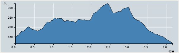 | |
| Ascent : 208m | Descent : 217m |
| Max : 323m | Min : 115m |
| (The accuracy of elevation is +/-30m) | |


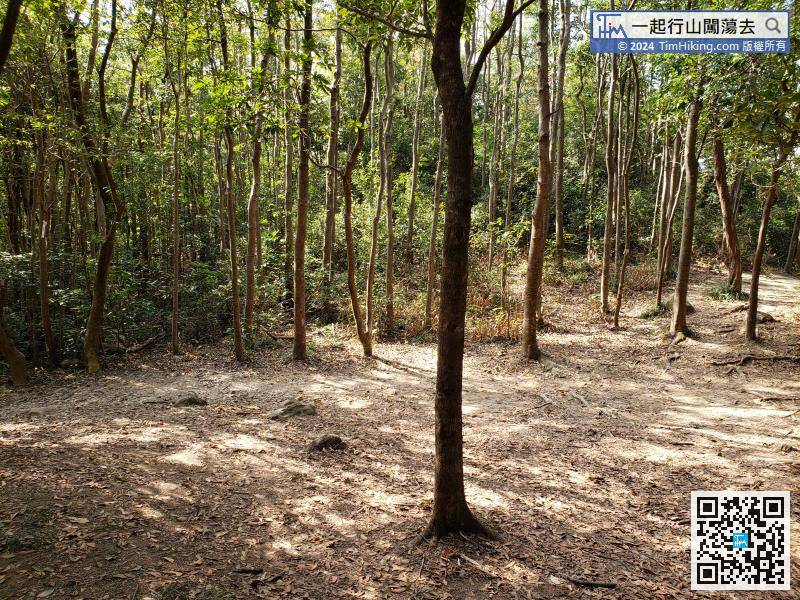
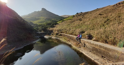
 9︰The tree-lined section of the trail suddenly becomes an open scenery wide trail,
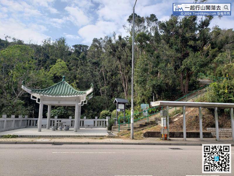
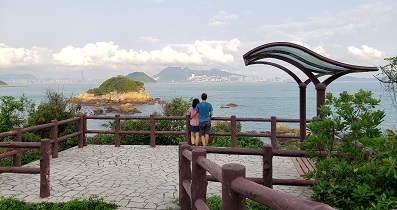
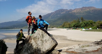
The starting point is near Ng Fai Tin, which is the entrance of High Junk Peak Country Trail.
13︰Some mountain trails overlap with mountain bike trails, and some are separated.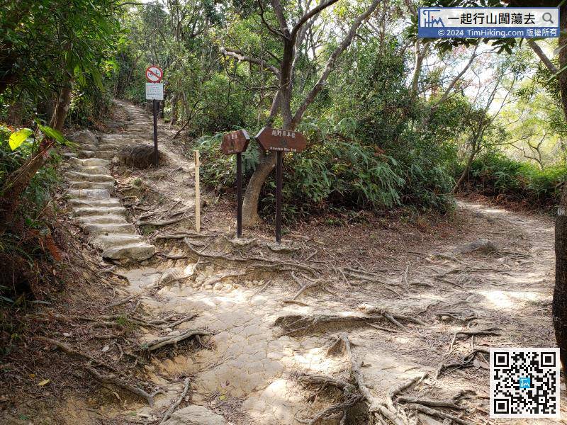
Some mountain trails overlap with mountain bike trails, and some are separated.
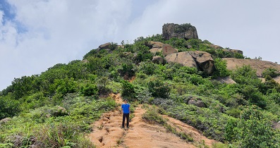
 37︰After 200 meters, there is a big wooden railing on the left-hand side, that is the trail to Miu Tsai Tun.
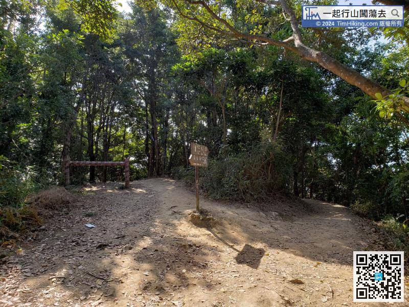
After 200 meters, there is a big wooden railing on the left-hand side, that is the trail to Miu Tsai Tun.

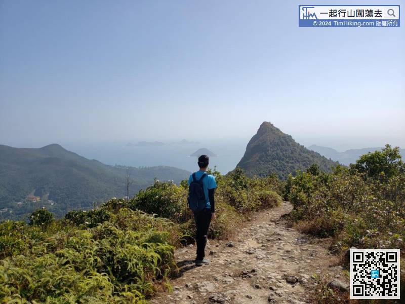
Follow the other side down the mountain and head towards High Junk Peak.
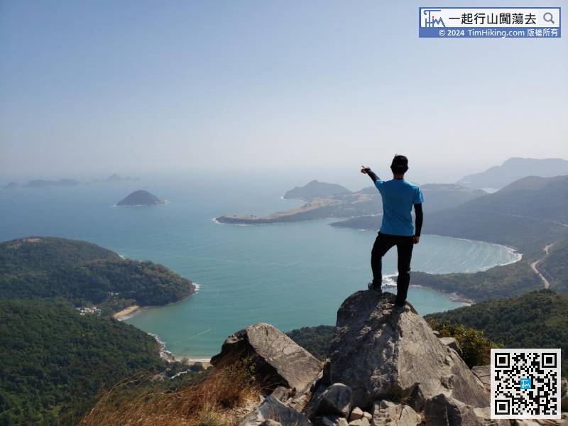
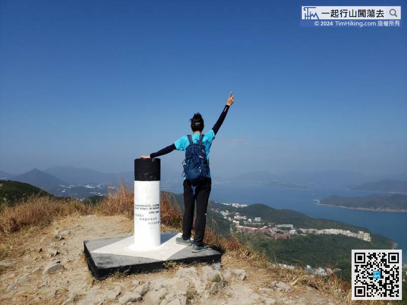
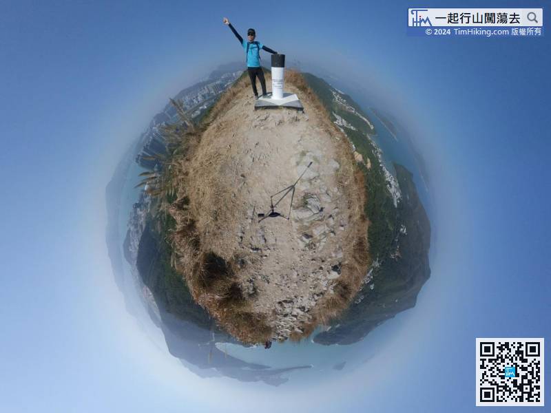
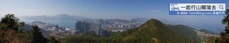
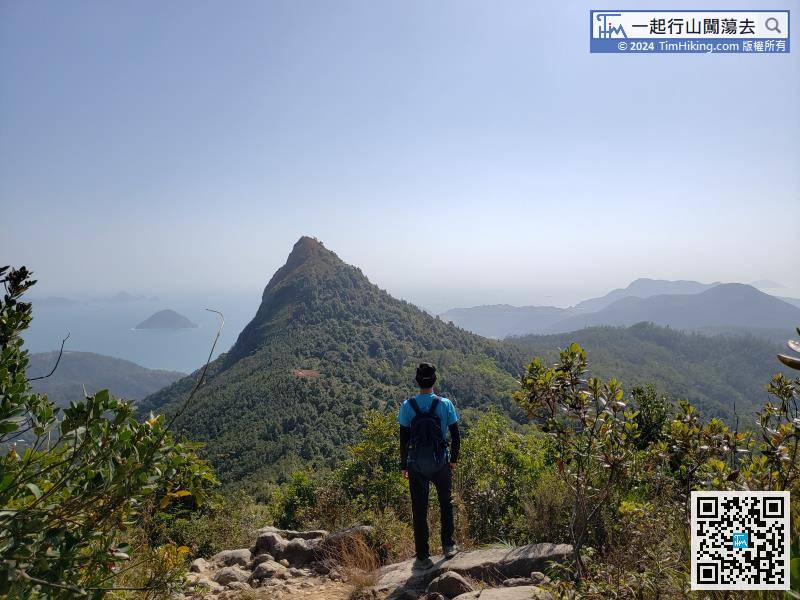
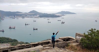
54︰There is a trigonometrical station on the top of High Junk Peak, which also has a 360-degree view,
If having sufficient physical strength, can climb to the top of High Junk Peak in less than 10 minutes.


