


 Recommend YouTube


| View : |  | ||
| Difficulty : |  | ||
| Path : | |||
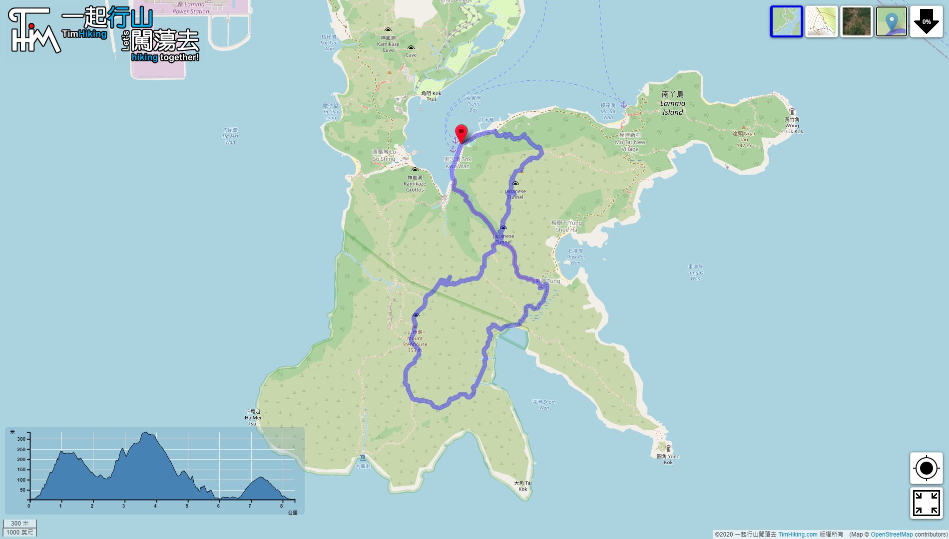
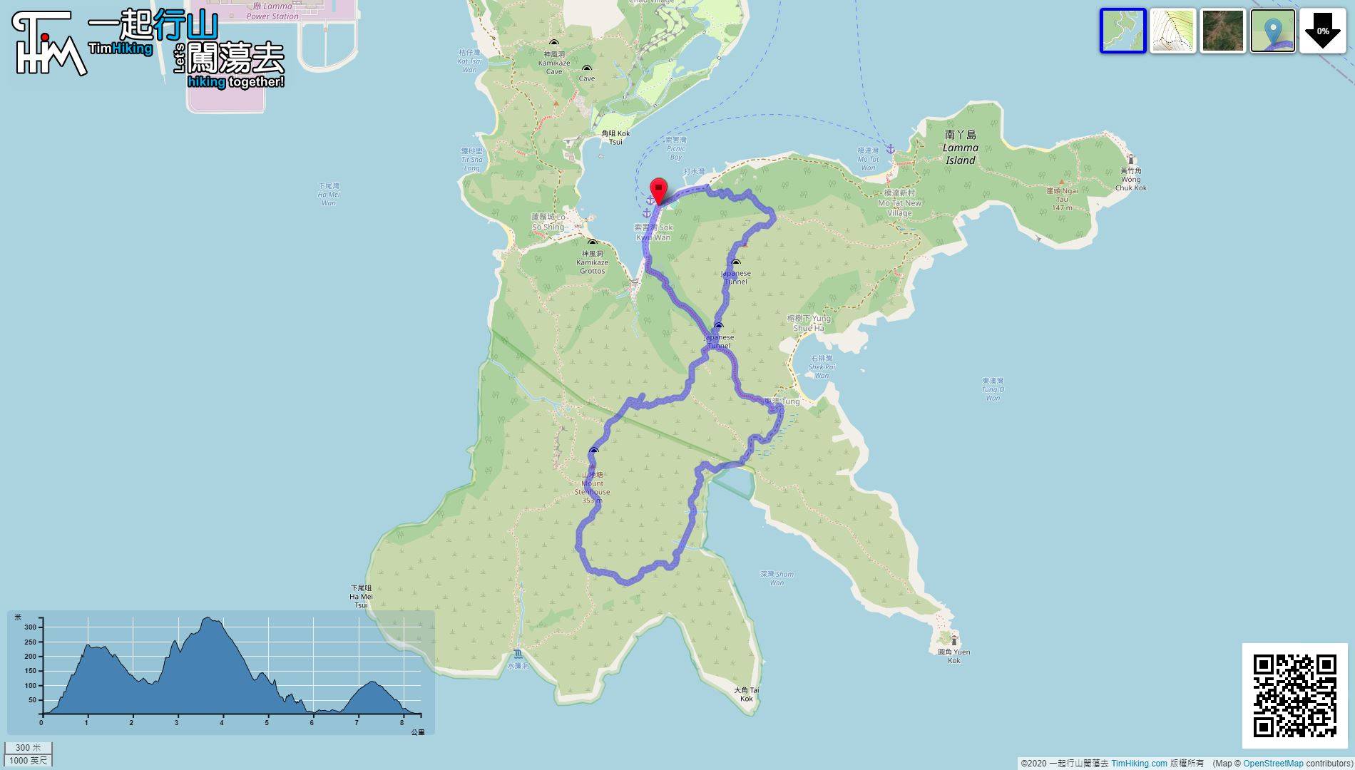
| Length : | 8.4km | ||
| Estimate : | 8hours | ||
 | |
| Ascent : 545m | Descent : 544m |
| Max : 334m | Min : 3m |
| (The accuracy of elevation is +/-30m) | |


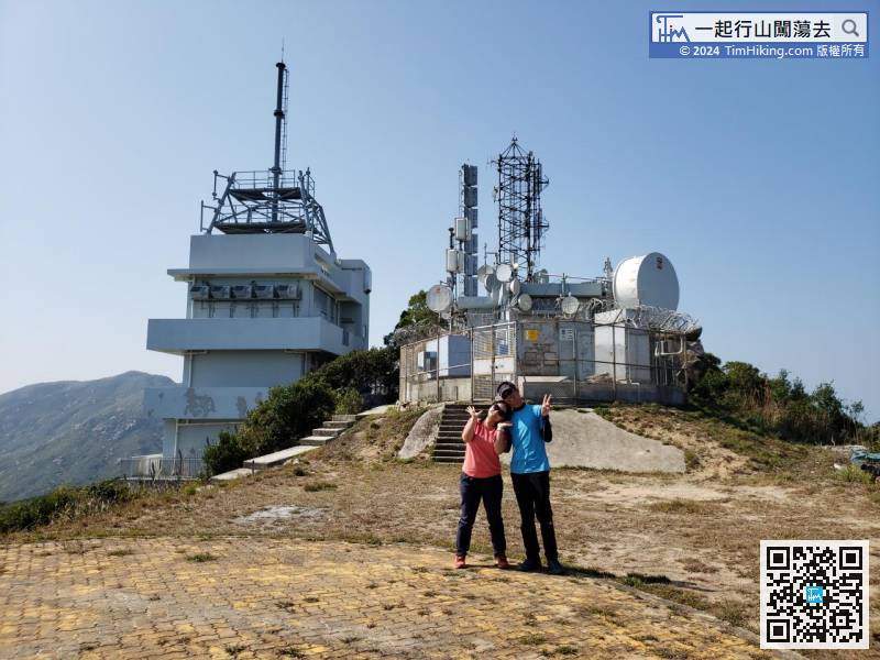
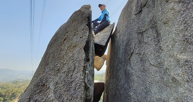
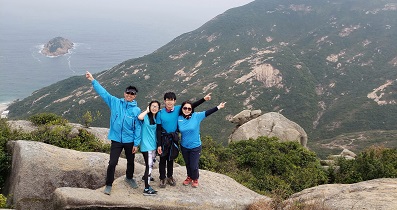
 14︰The climbing section takes only about 30 minutes to reach the top platform.
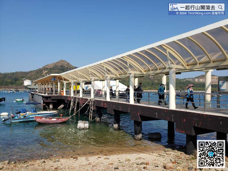
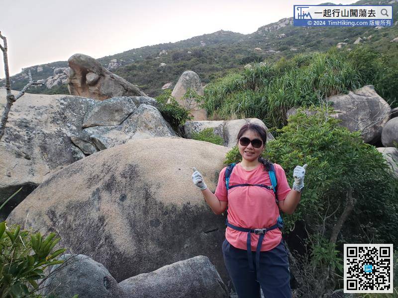
First of all, take the ferry from Central to Sok Kwu Wan. Do not take the wrong Yung Shue Wan.
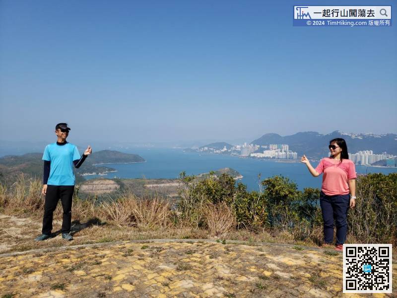
23︰can walk closely and shoot at a long distance.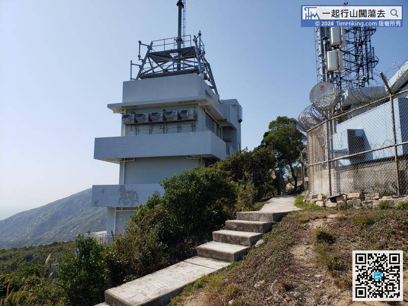
Leave from the left-hand side of the radio station, connect to the official trail and continue to walk.
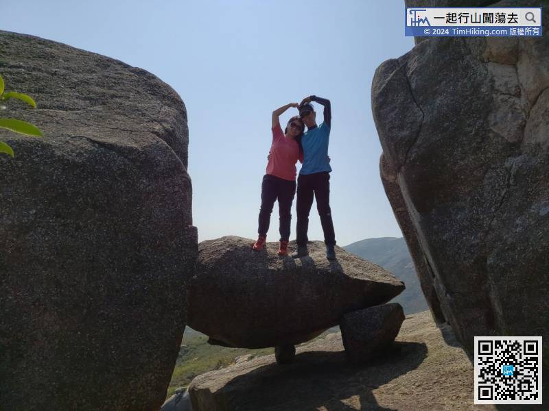
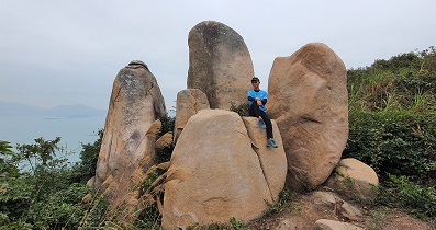
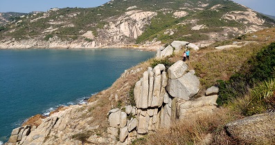
39︰The trails along the way are all dirt trails.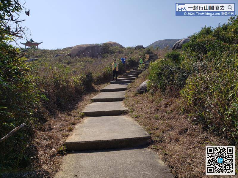 50︰Finger Male Rock is two views with one stone. It is Face Rock from the back,
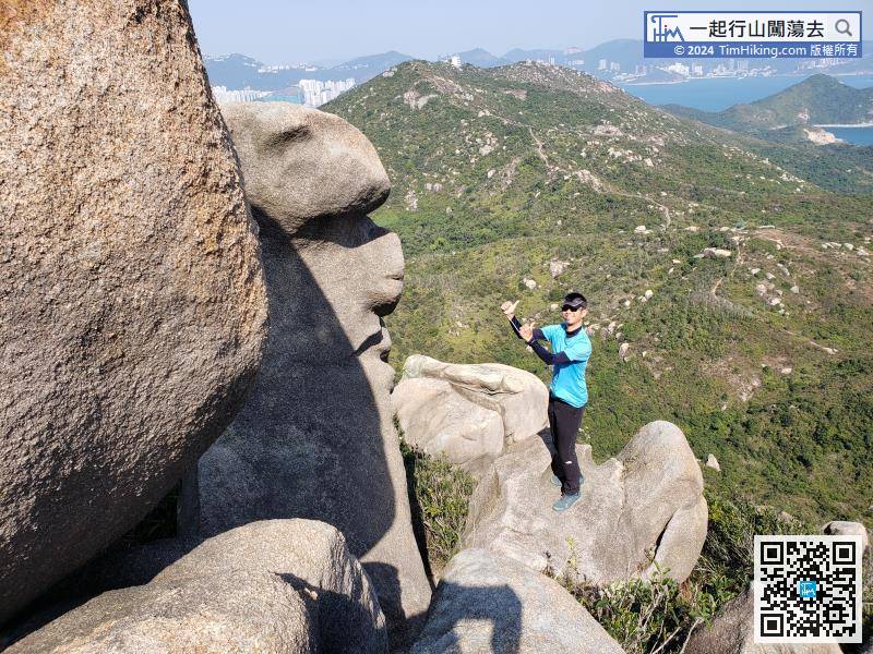
Finger Male Rock is two views with one stone. It is Face Rock from the back,
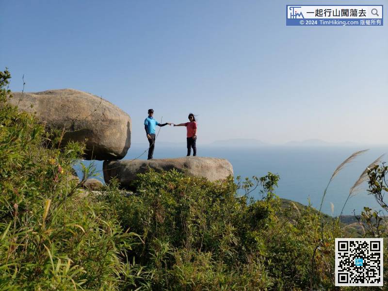
71︰Soon after seeing Cotton Candy Rock,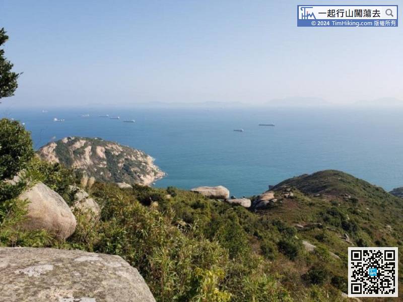
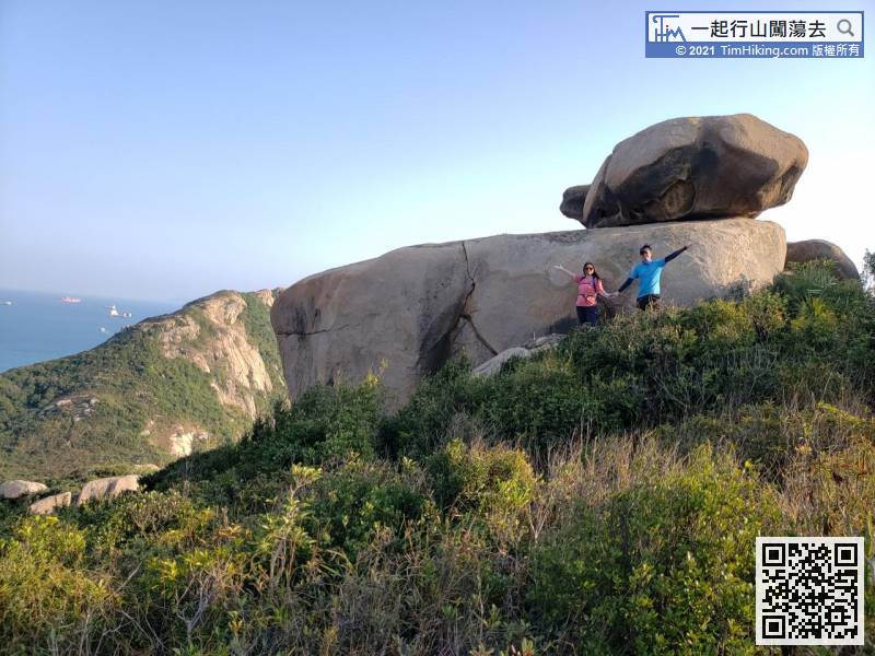
After 40 minutes of walking, first will see the Pedal Rock.
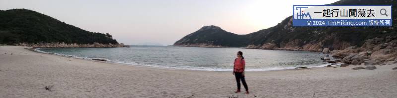
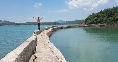
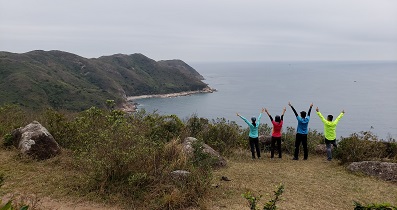
After walking from Sky Altar for about 1 hour, finally reach the shore.


