


 Recommend YouTube


| View : |  | ||
| Difficulty : |  | ||
| Path : | |||
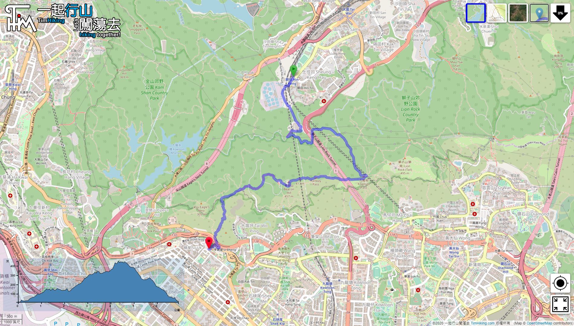
| Length : | 7km | ||
| Estimate : | 3hours | ||
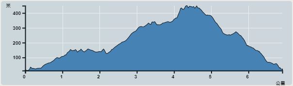 | |
| Ascent : 458m | Descent : 438m |
| Max : 450m | Min : 12m |
| (The accuracy of elevation is +/-30m) | |


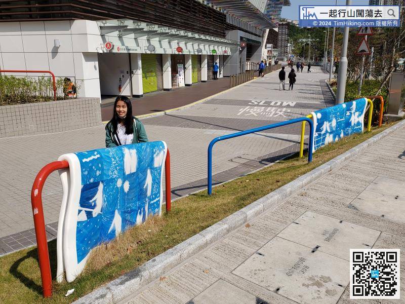
This time starts from the newly opened Hin Keng Station as the starting point.
 17︰will see a Sitting-out Area with a small pavilion at the end of the road. The scenery is mainly the Hin Keng area.
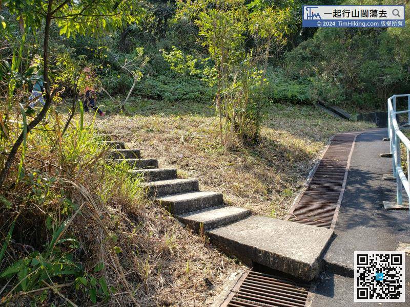
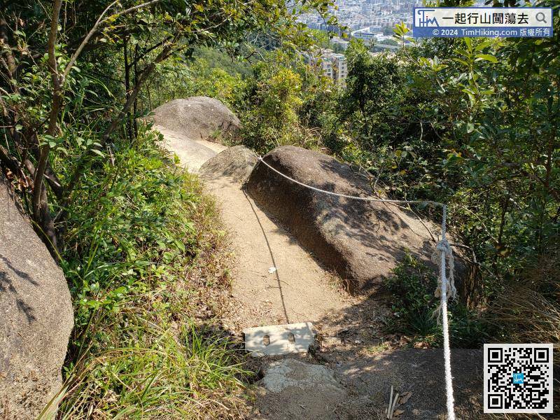
When going to the bifurcation, turn left and go up the stairs,
31︰which is also known as Kowloon Au.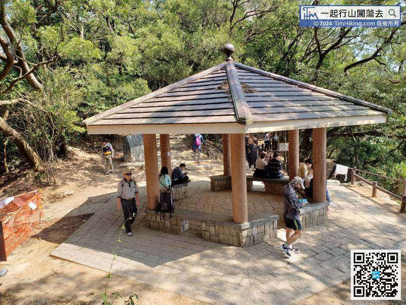
The entire Kin Lung Ancient Trail takes about half an hour to reach the Hong Kong Handover Pavilion,
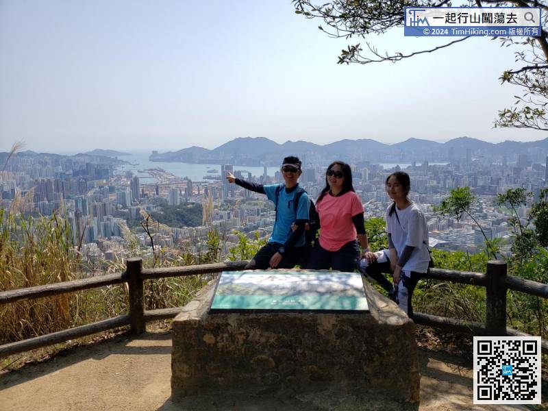
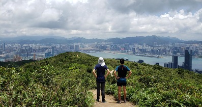
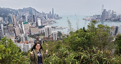
46︰At the top of Beacon Hill, there is a very high radar station, owned by the Civil Aviation Department,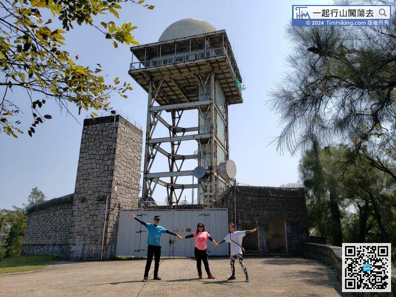
At the top of Beacon Hill, there is a very high radar station, owned by the Civil Aviation Department,


