


 Recommend YouTube


| View : |  | ||
| Difficulty : |  | ||
| Path : | |||
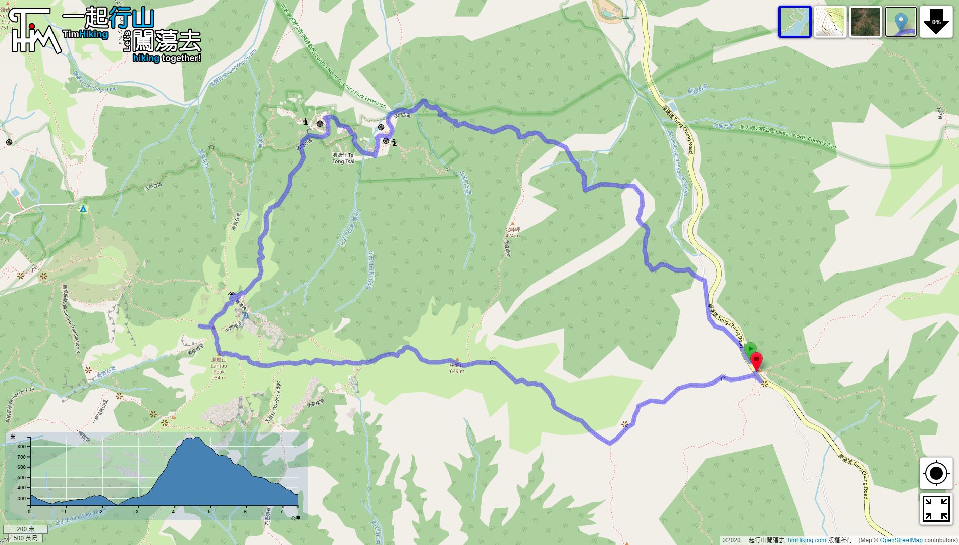
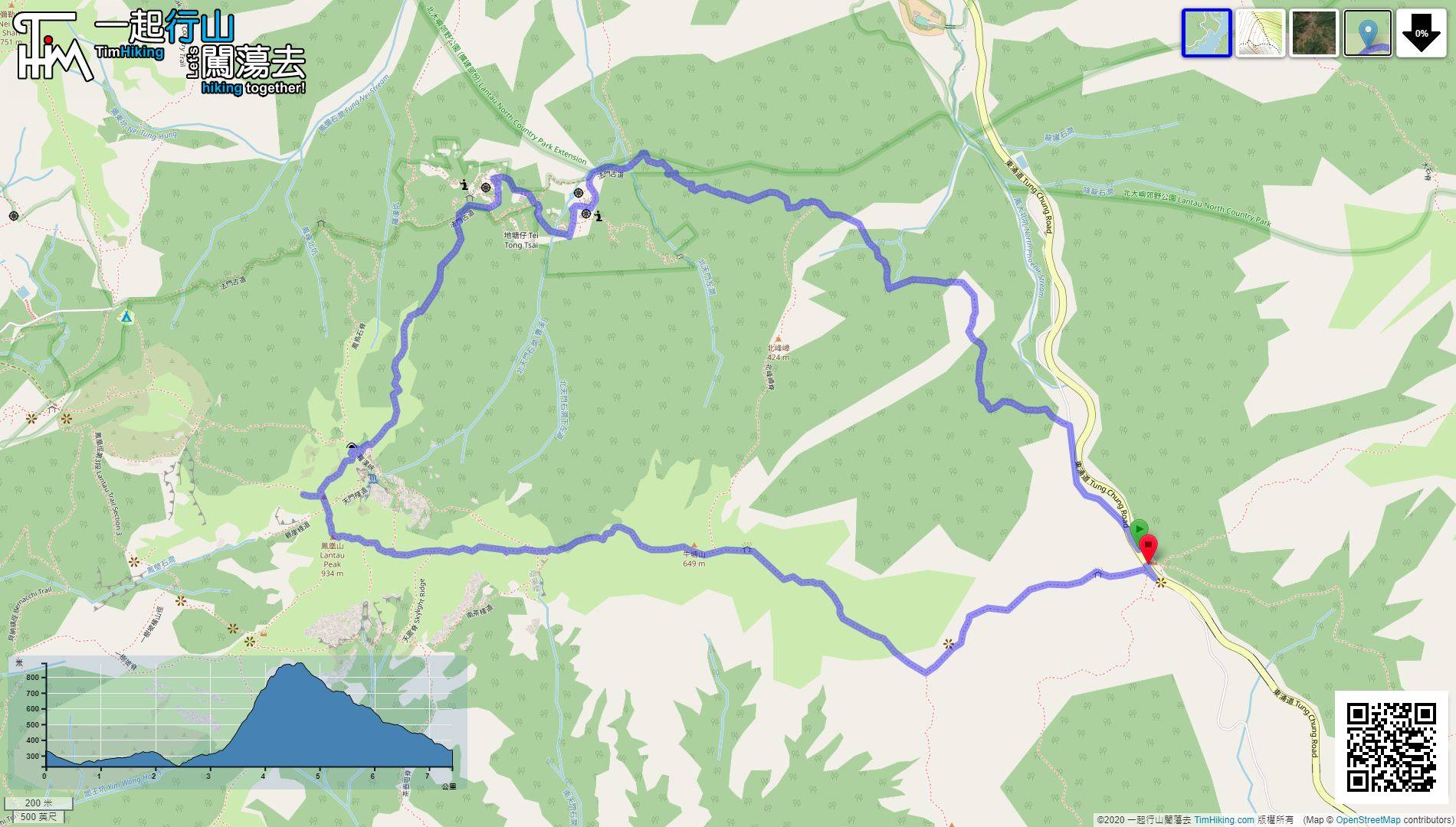
| Length : | 7.5km | ||
| Estimate : | 5hours | ||
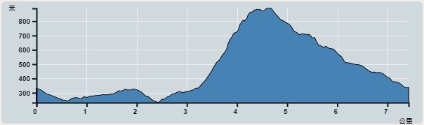 | |
| Ascent : 708m | Descent : 697m |
| Max : 889m | Min : 231m |
| (The accuracy of elevation is +/-30m) | |


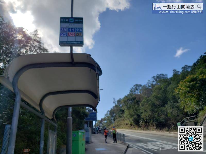
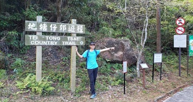
The starting point is at Pak Kung Au. You can take the Lantau Bus 3M at Tung Chung. Tell the driver Pak Kung Au to get off before making the payment. You can enjoy a segment discount.
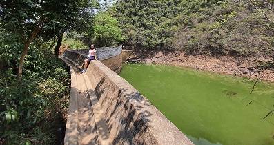
 24︰the roadside looks like a farm.
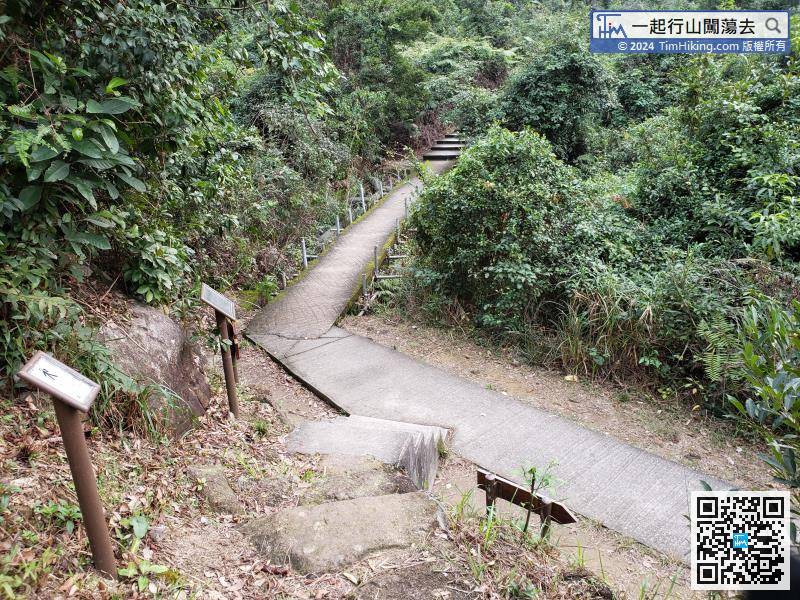 39︰The steep slopes should not be missed.
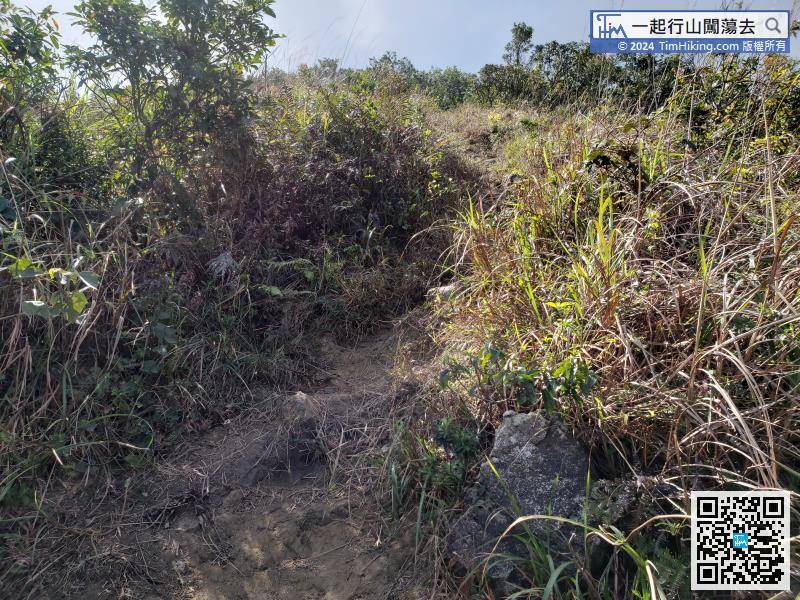
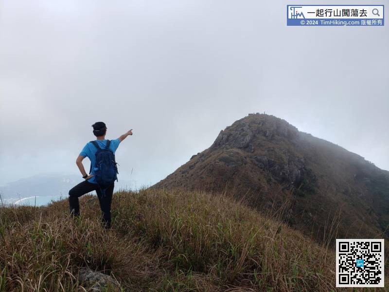
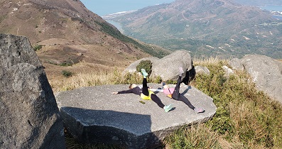
There are not many open scenery locations in the front section.
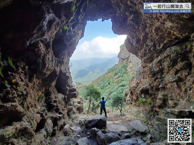
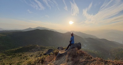
47︰Law Hon Tower and One Tree Cave are clearly ahead.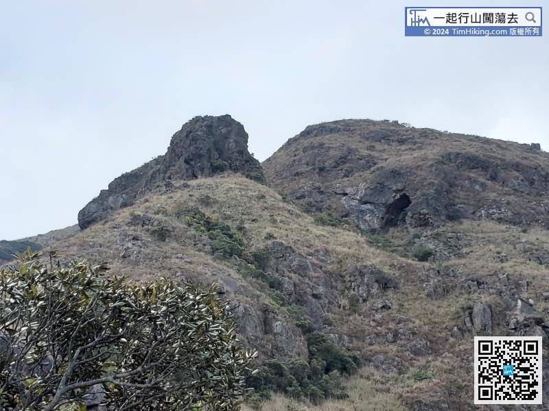 63︰At this time, the altitude is about 850 meters,
 77︰and a wind shelter.
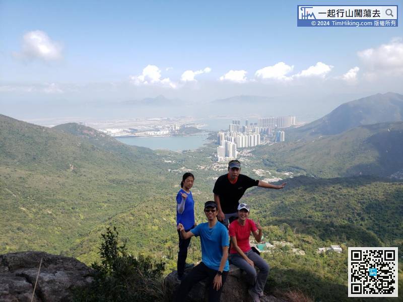
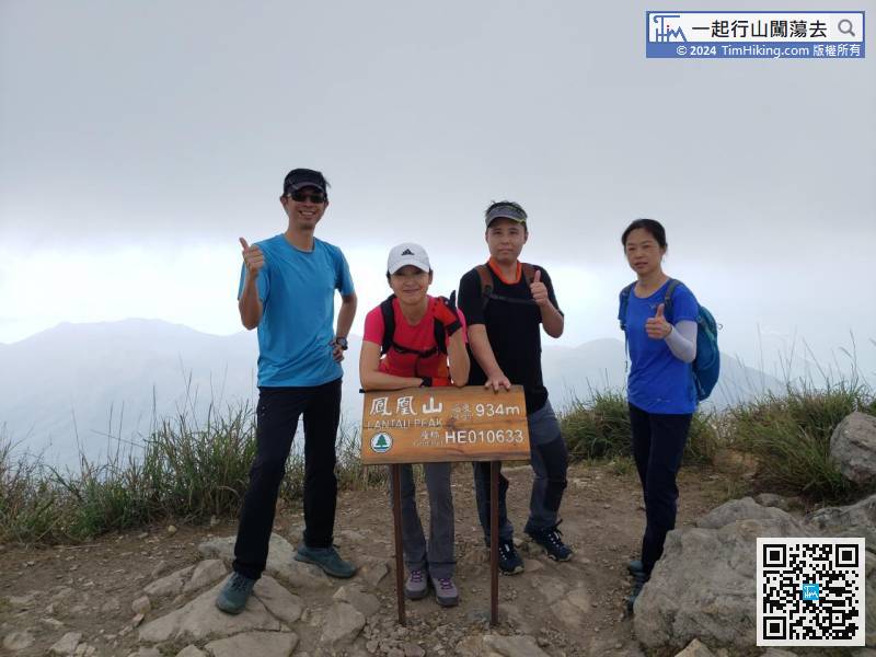
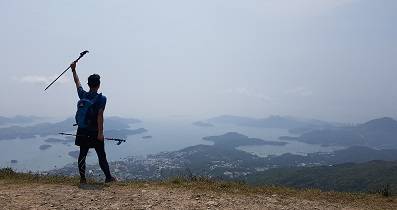
Lantau Peak is 934 meters high. There is a wooden nameplate on the top of the mountain,


