


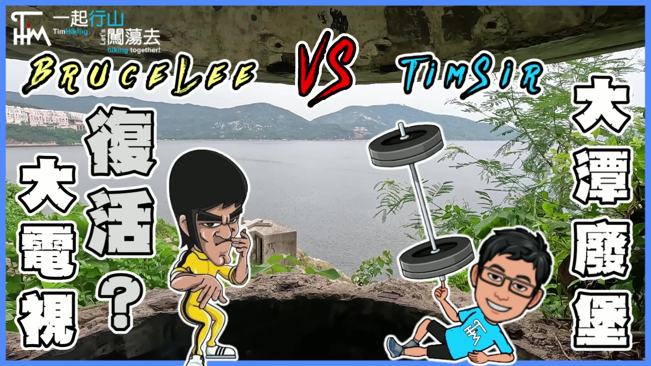
 Recommend YouTube
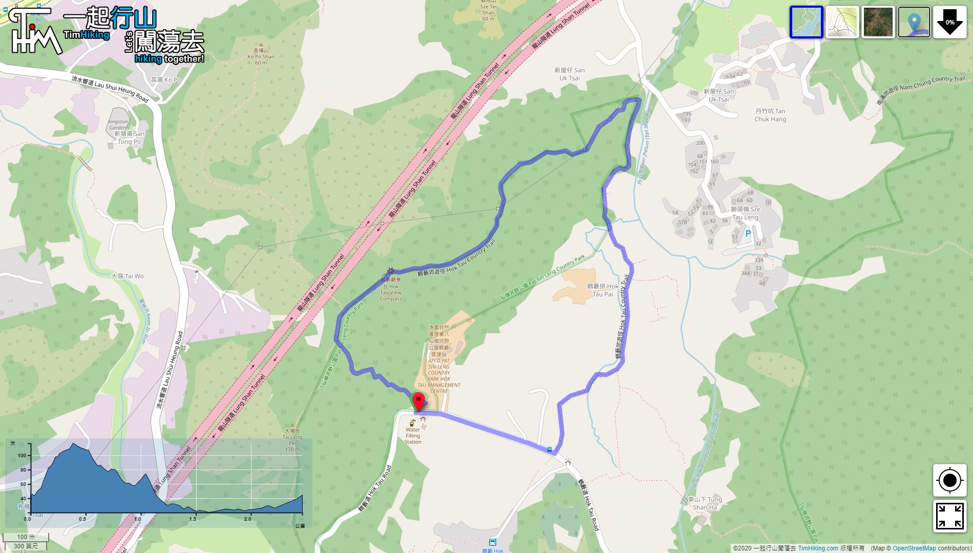

| View : |  | ||
| Difficulty : |  | ||
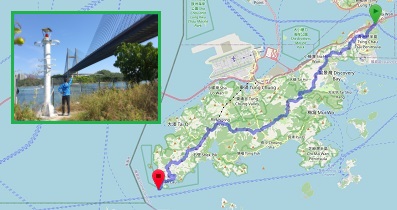
| Path : | |||
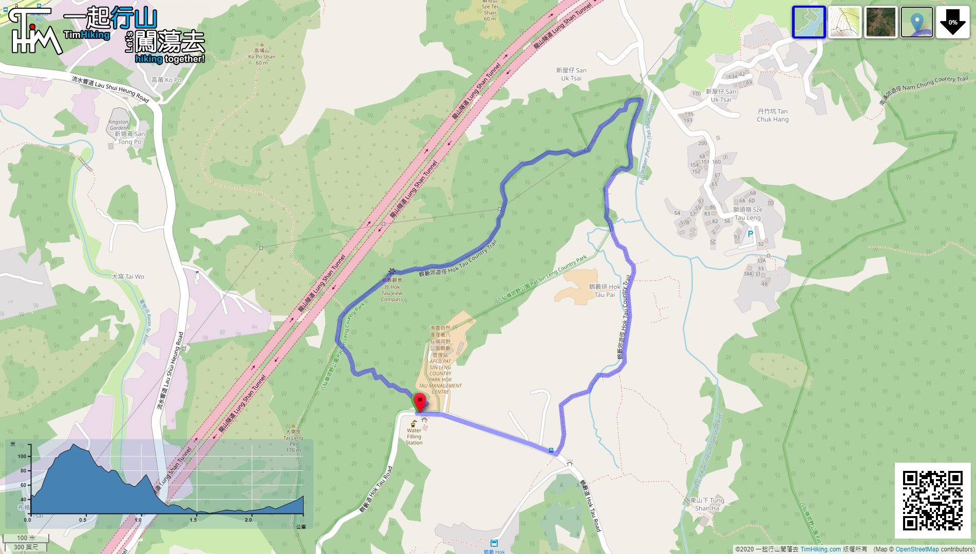
| Length : | 2.5km | ||
| Estimate : | 1hours | ||
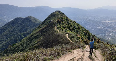
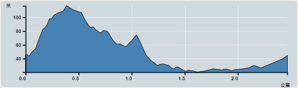 | |
| Ascent : 97m | Descent : 97m |
| Max : 117m | Min : 20m |
| (The accuracy of elevation is +/-30m) | |


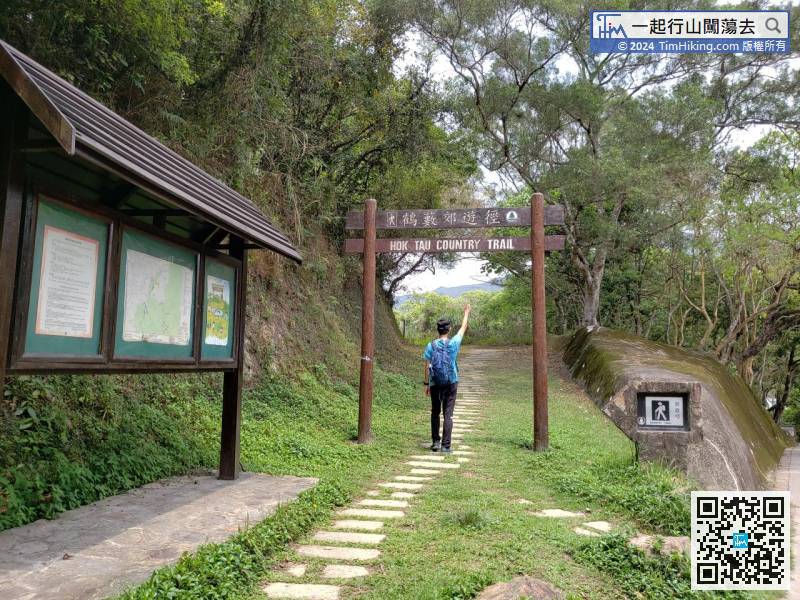
| View : | | ||
| Difficulty : | | ||
| Path : | |||
| Length : | 2.5km | ||
| Estimate : | 1hours | ||
| |
| Ascent : 97m | Descent : 97m |
| Max : 117m | Min : 20m |
| (The accuracy of elevation is +/-30m) | |
一起行山闖蕩去 | timhiking | timhiking | Message Board | Disclaimer


