


 Recommend YouTube


| View : |  | ||
| Difficulty : |  | ||
 (leave at Reindeer Poll) | |||
| Path : | |||
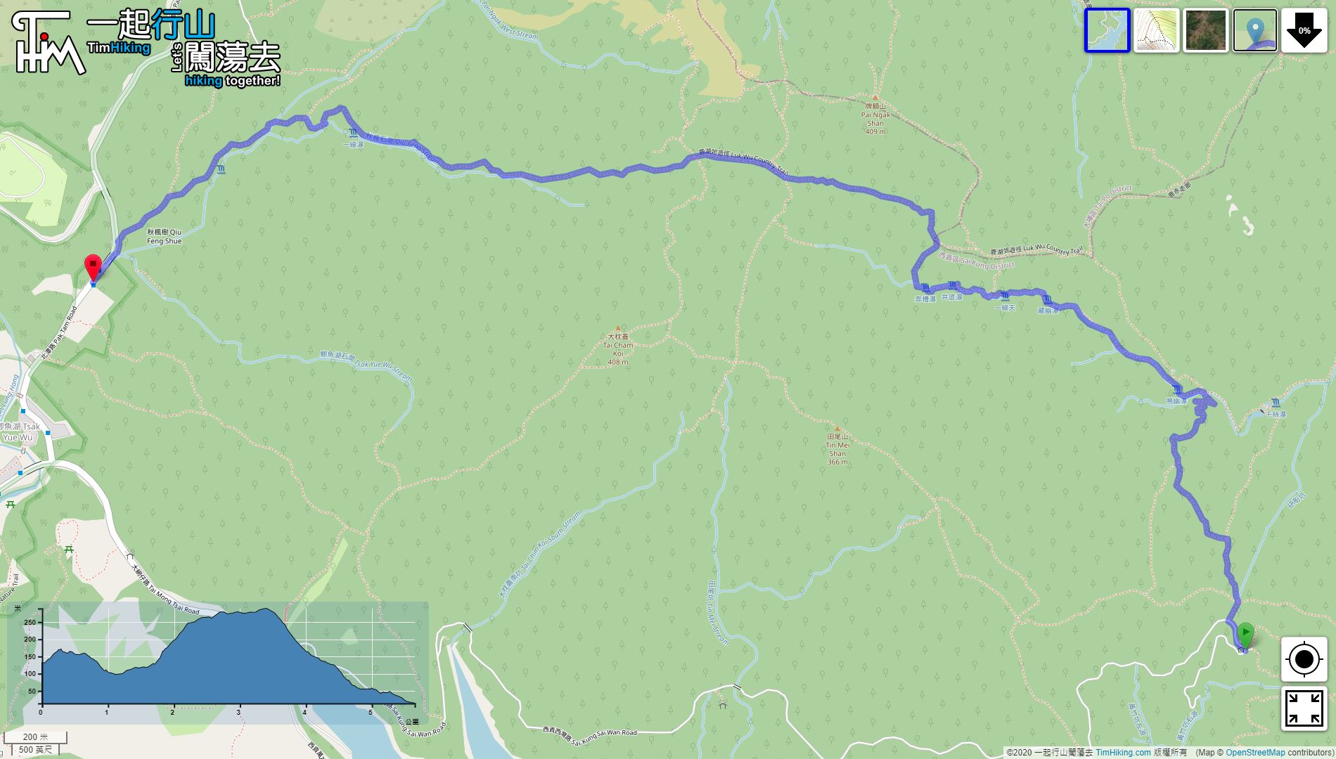
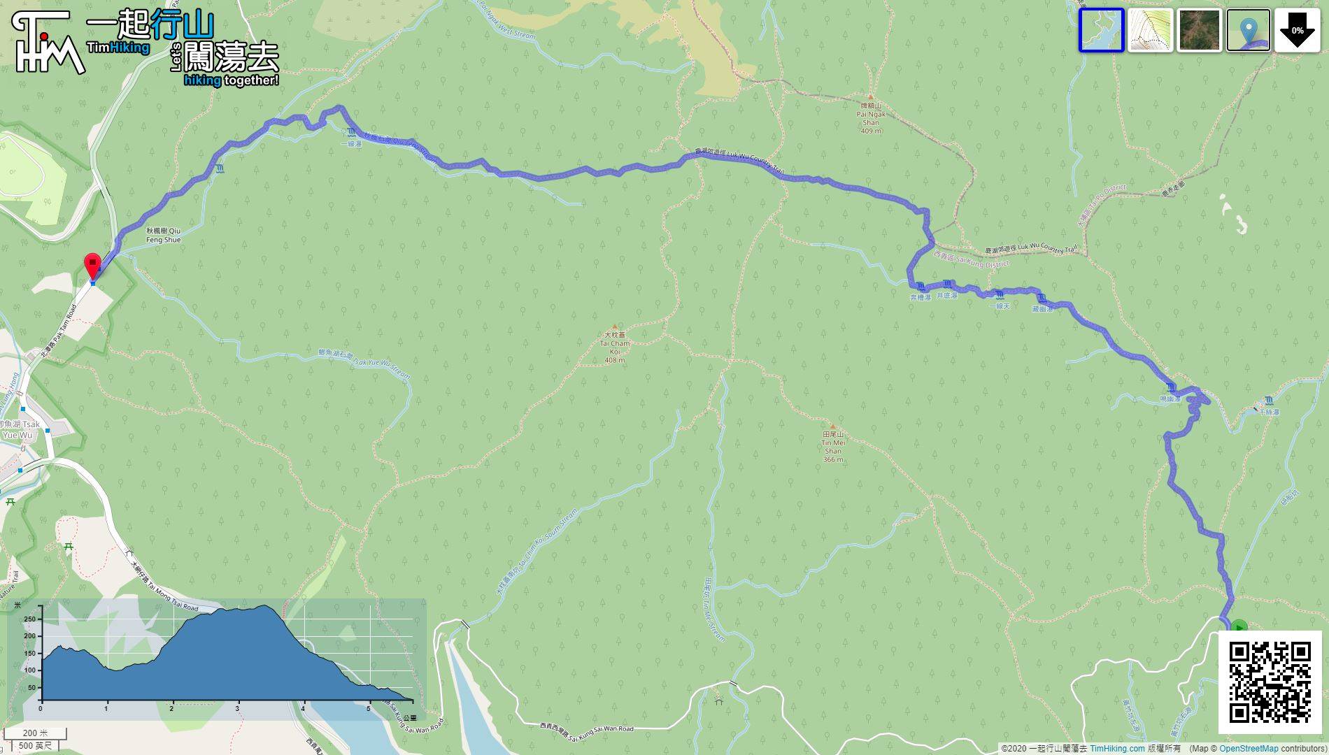
| Length : | 5.7km | ||
| Estimate : | 5hours | ||
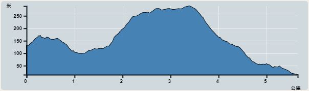 | |
| Ascent : 275m | Descent : 324m |
| Max : 289m | Min : 14m |
| (The accuracy of elevation is +/-30m) | |


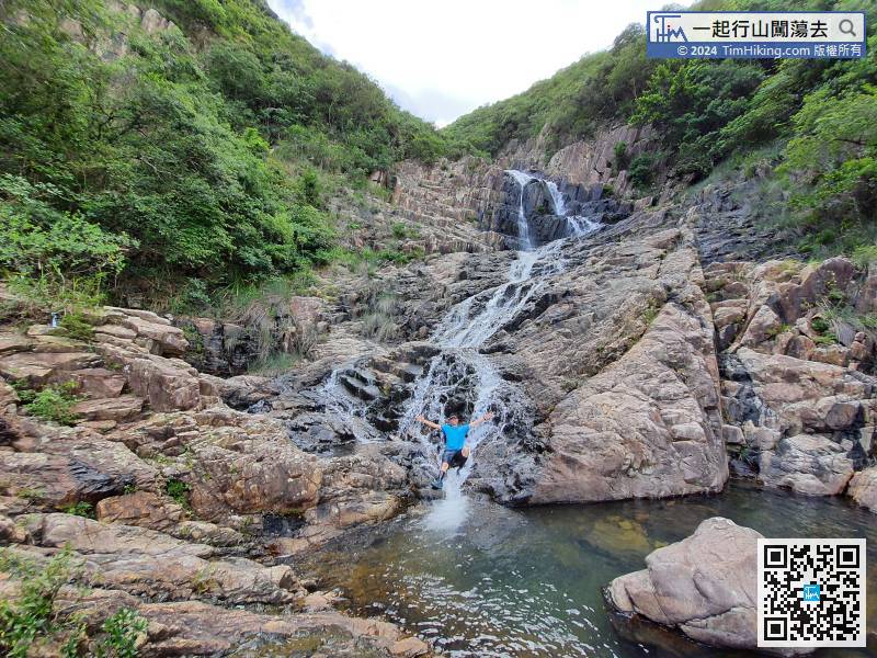
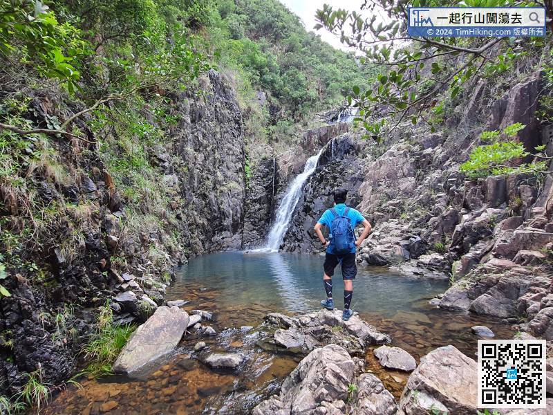
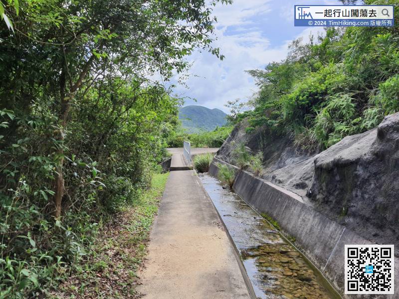
 13︰and the concrete road on the right is to lead to the dam above Tsin Sze Fall.
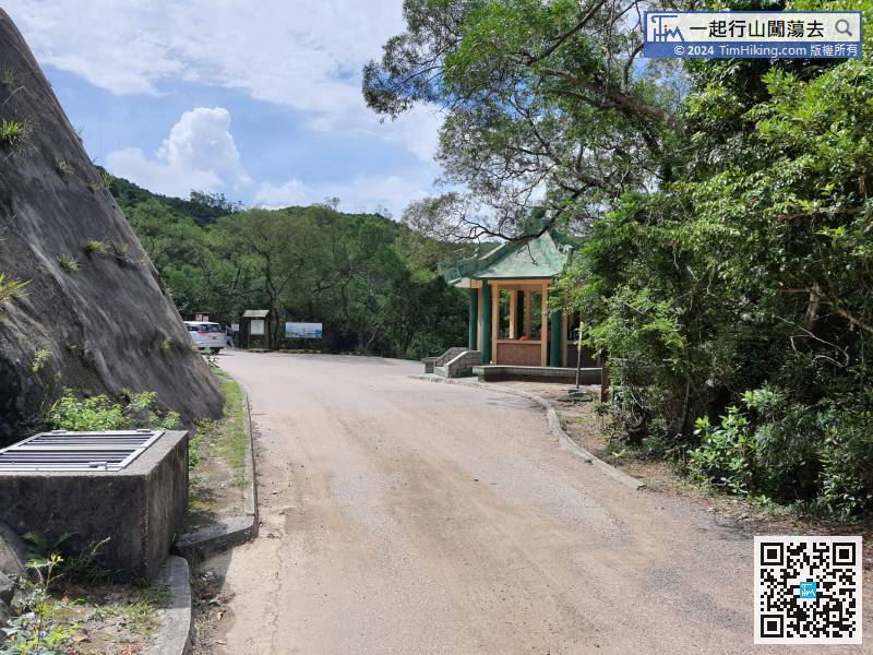 25︰After a turn,
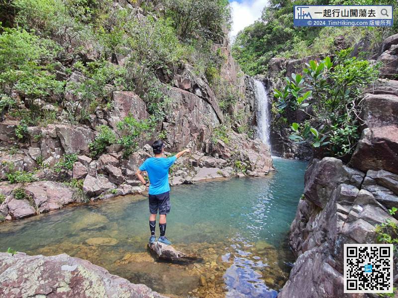
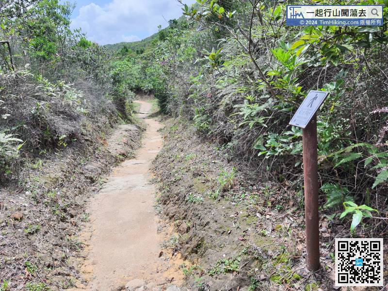
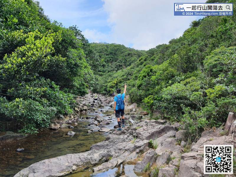 37︰After the rest, climb up the cliff,
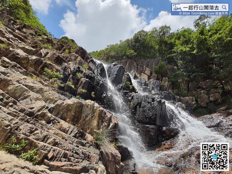 66︰This route is exciting, take a short break first,
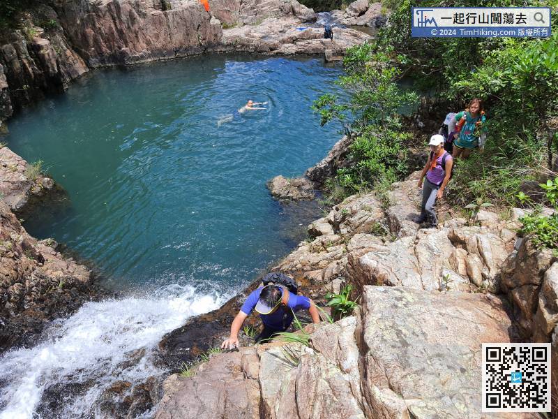
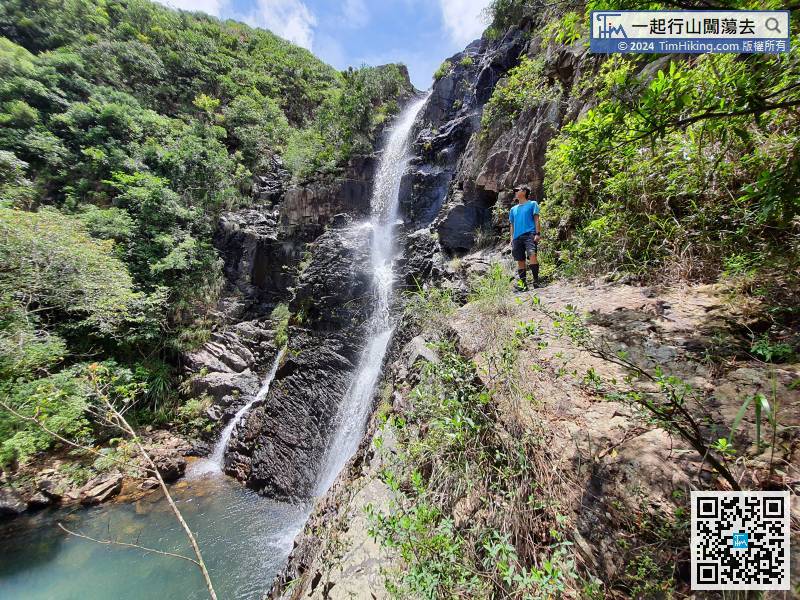
Climbing the waterfall of Reindeer Poll along the left side. It is difficult to climb the slippery cliff if there is heavy water.
The position of the distance post is C5305, which is also the middle position of the entire Country Trail.


