


 Recommend YouTube


| View : |  | ||
| Difficulty : |  | ||
| Path : | |||
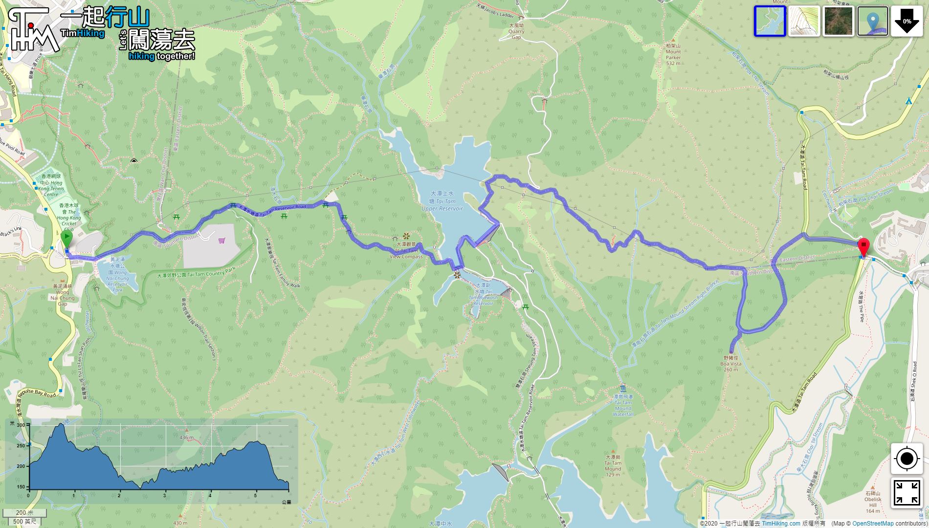
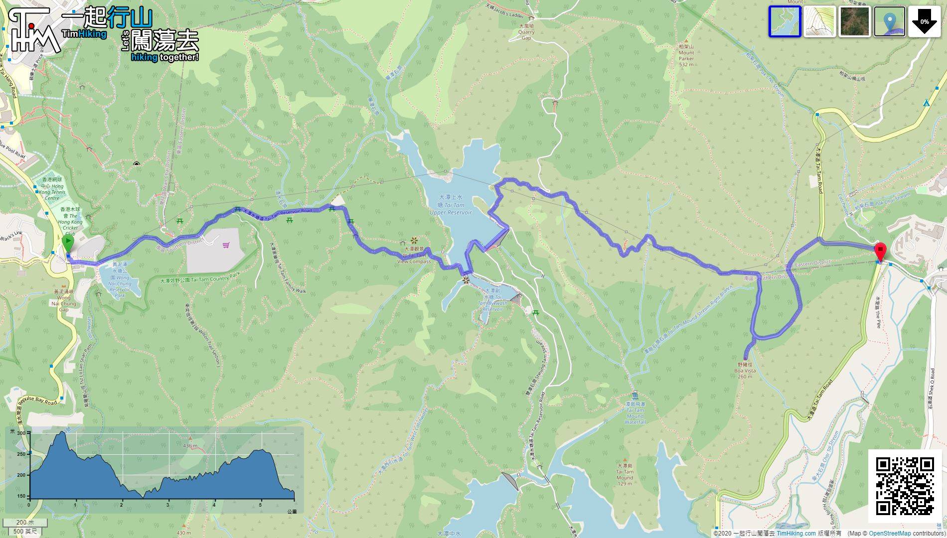
| Length : | 5.8km | ||
| Estimate : | 2hours | ||
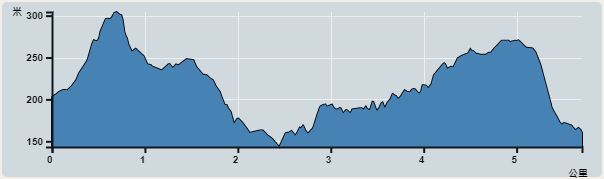 | |
| Ascent : 192m | Descent : 227m |
| Max : 304m | Min : 152m |
| (The accuracy of elevation is +/-30m) | |


 17︰As long as keep going down,
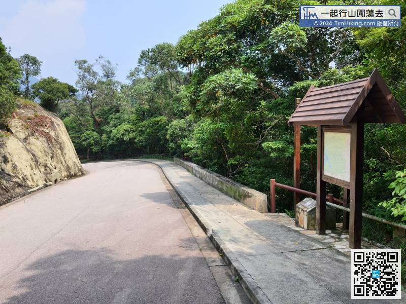
Soon, will pass the entrance of Ta Tam Family Trail, this is an entry-level dirt trail.
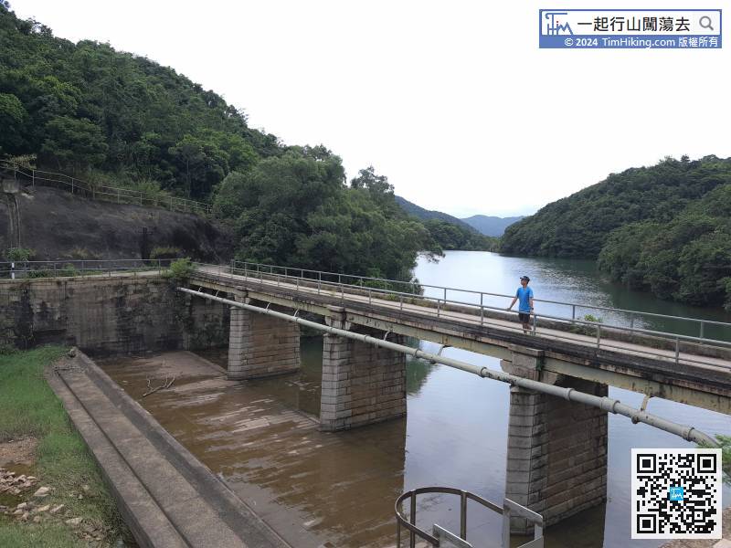
23︰Cross the Tai Tam Upper Reservoir Masonry Bridge on the left-hand side,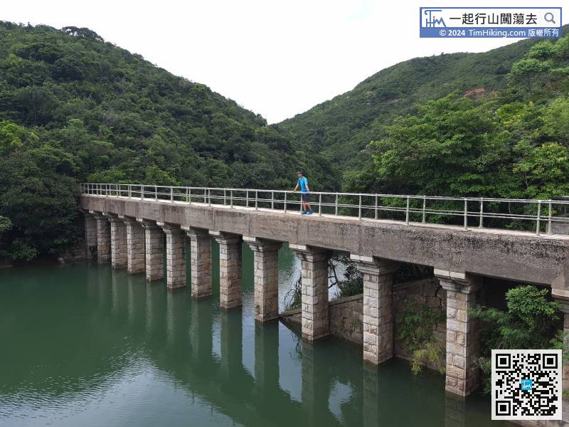
First go to the Tai Tam Upper Reservoir Masonry Aqueduct on the right-hand side. The bridge is narrower. The other end can go to Tsin Shui Wan Au, which is the location of the Tsz Kong Bridge.
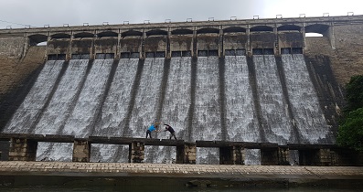
43︰and Tai Tam Intermediate Reservoir Dam in front.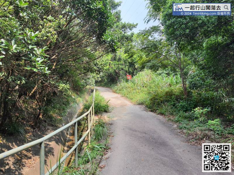
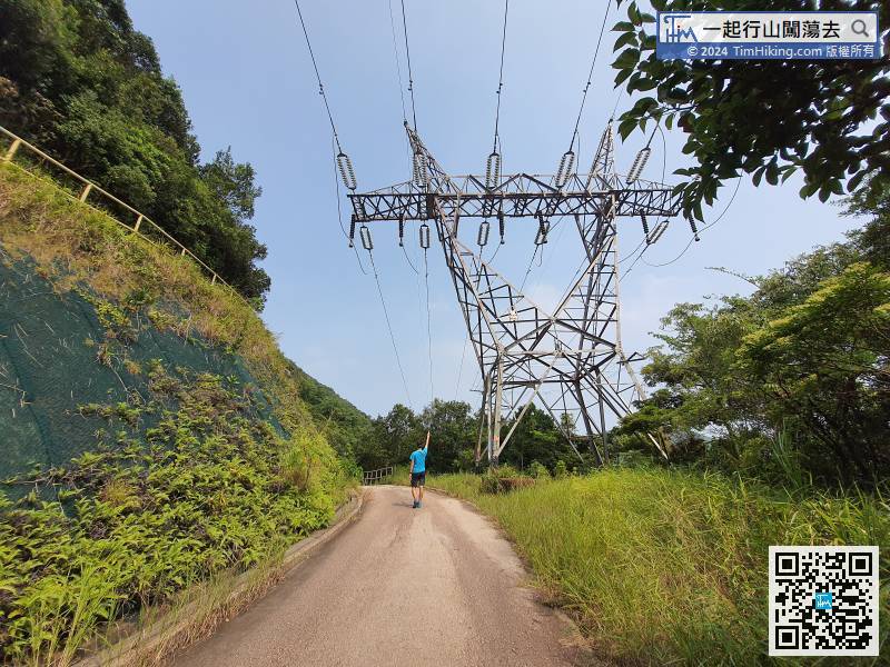
Hong Kong Forest Track (Boa Vista Track Section) is a catchwater trail
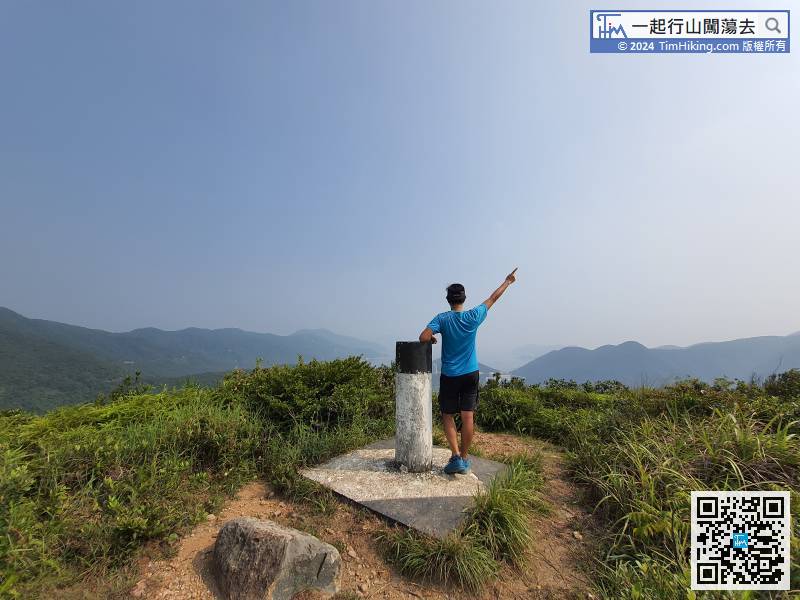
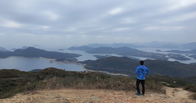
53︰Boa Vista has a 360-degree view, looking out the sea is Tai Tam Harbour, the left side is Dragon's Back, the right side is Violet Hill, and the back is Mount Parker and Mount Butler.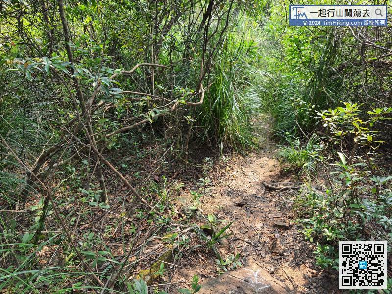 65︰Walk for 5 minutes more, will reach the big bifurcation junction.
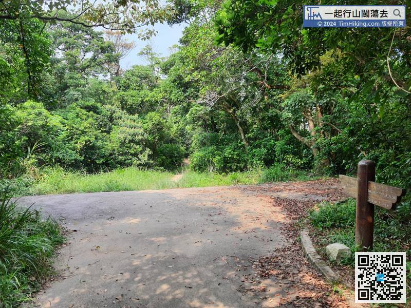


