


 Recommend YouTube


| View : |  | ||
| Difficulty : |  | ||
| Path : | |||
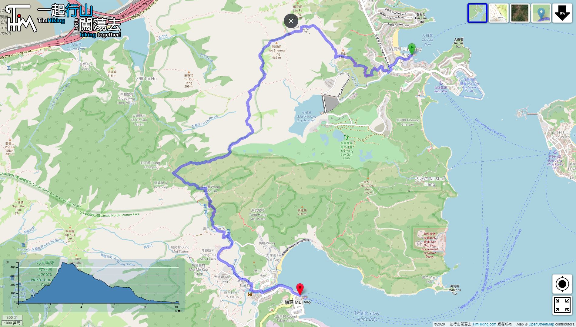
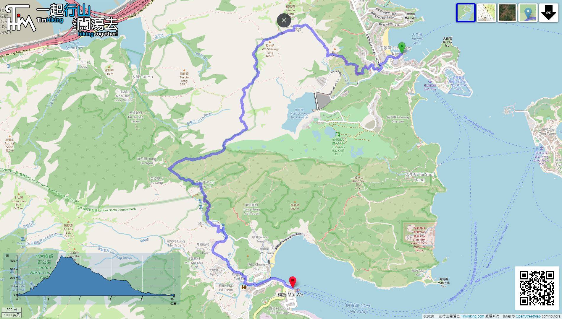
| Length : | 10.2km | ||
| Estimate : | 4hours | ||
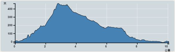 | |
| Ascent : 469m | Descent : 472m |
| Max : 458m | Min : 0m |
| (The accuracy of elevation is +/-30m) | |


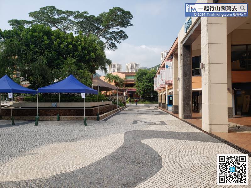
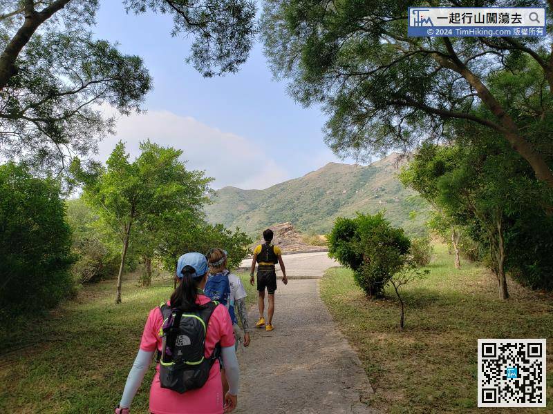
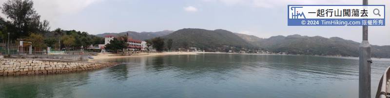
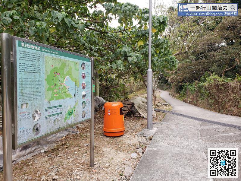
Once you arrive at Discovery Bay, you can first replenish at Discovery Bay Plaza, make sure have to bring sufficient drinks and food.
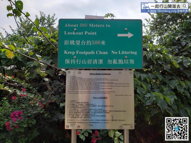
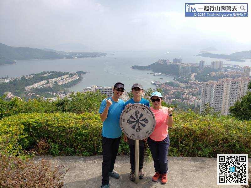
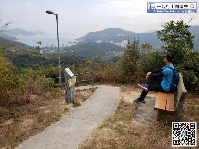
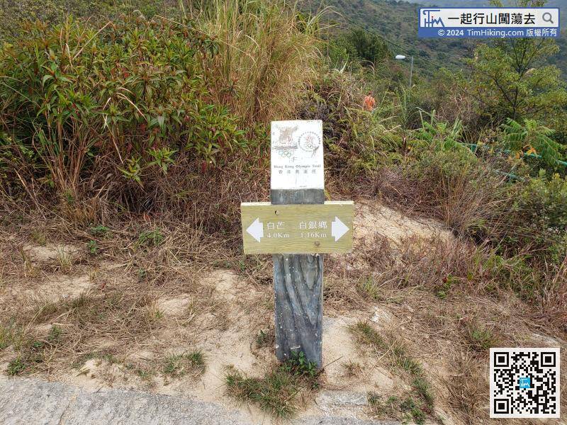
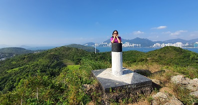
There is a sign at the intersection to the Lookout Point, and the distance is about 500 meters.
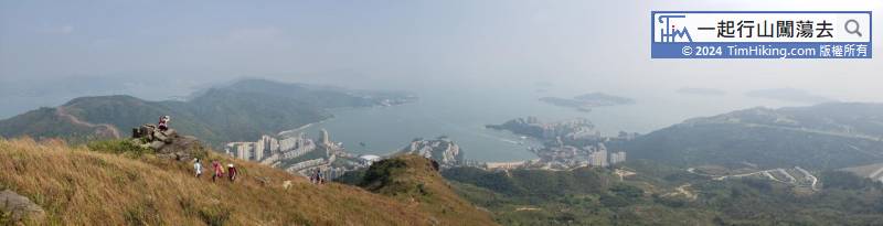
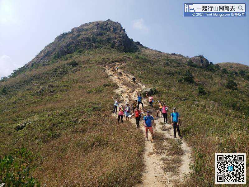
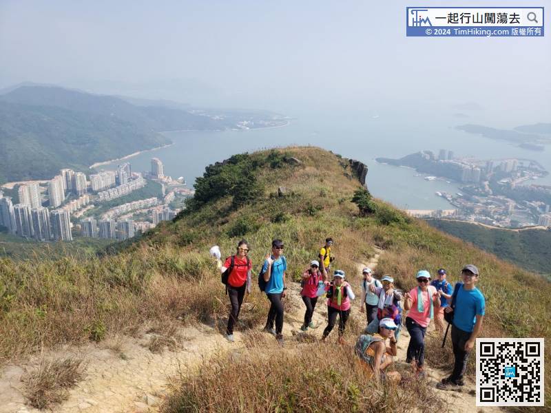
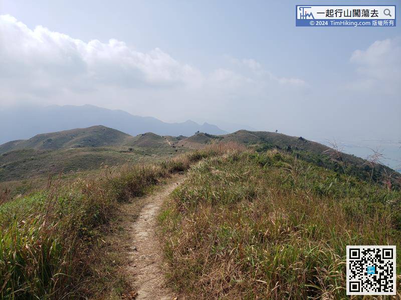
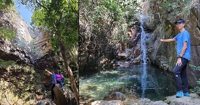
A few moments later, the mountain in front is Lo Fu Tau, it does not like a Tiger Head.
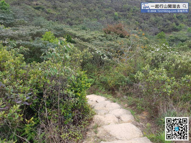
As soon as passing the pile of stone, connect to the downhill section immediately.
 61︰After crossing a small bridge, keep to the right and see a large grassland on the left.
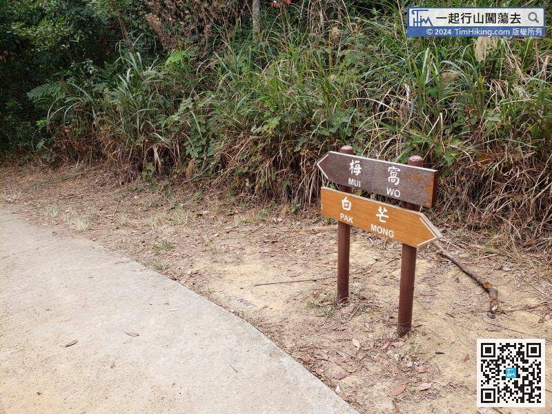


