


 Recommend YouTube


| View : |  | ||
| Difficulty : |  | ||
| Path : | |||
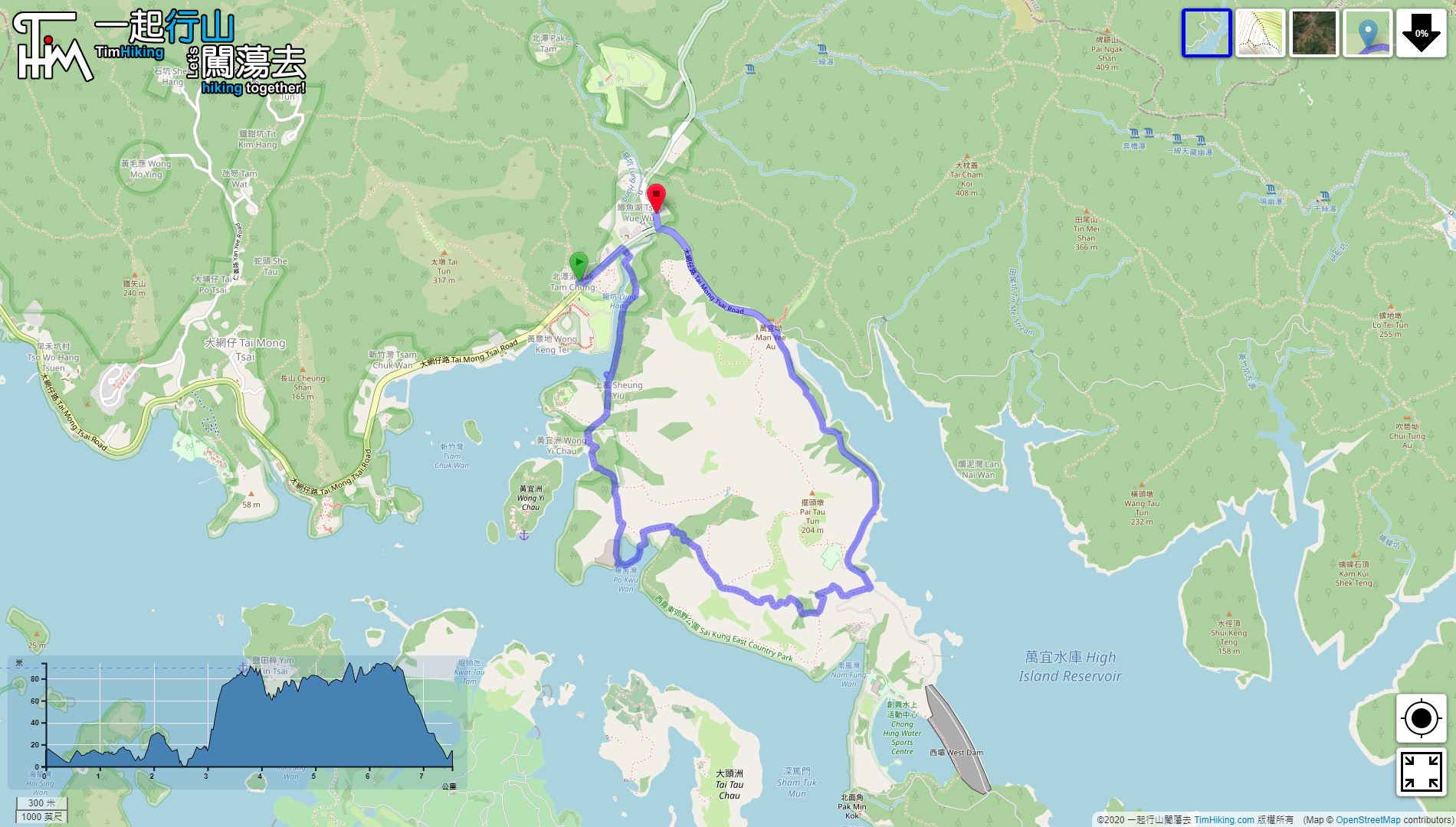
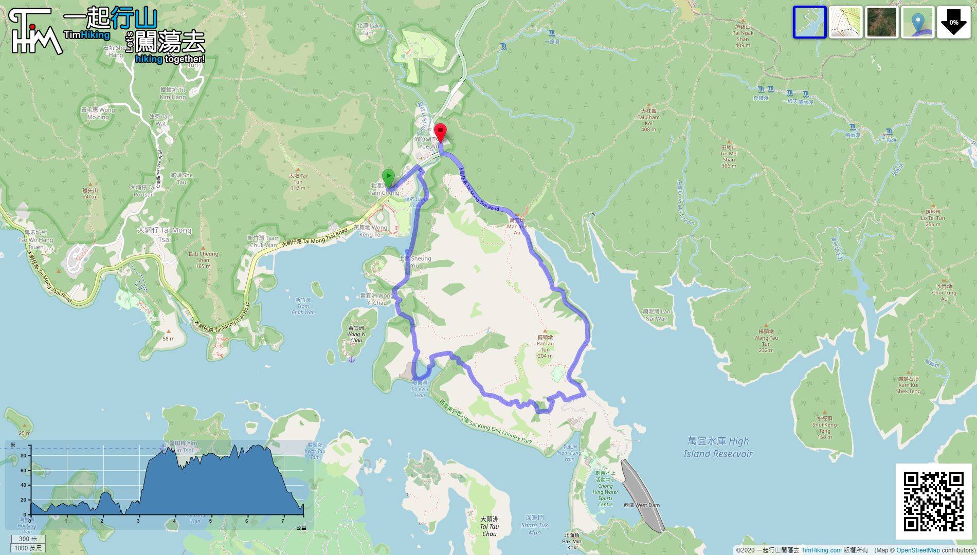
| Length : | 7.6km | ||
| Estimate : | 2½hours | ||
| 【 Po Kwu Wan Campsite 】 | |||
| Toilet : | Outhouse | ||
| Water : | Stream Water | ||
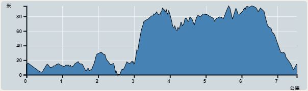 | |
| Ascent : 135m | Descent : 129m |
| Max : 94m | Min : 0m |
| (The accuracy of elevation is +/-30m) | |


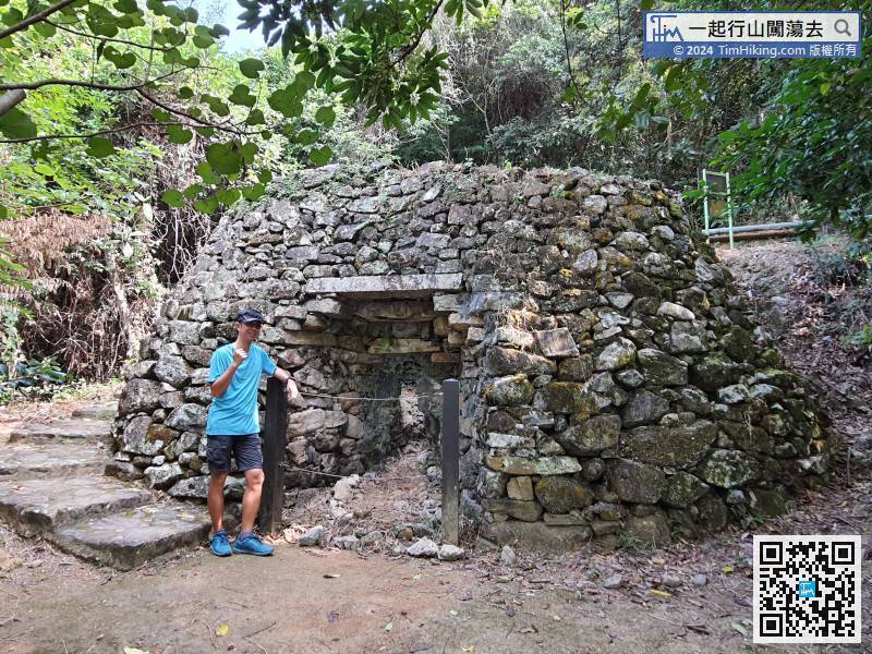
 10︰It was an ancient kiln used by villagers to produce lime, the raw materials are sea shells. The structure is still well preserved.
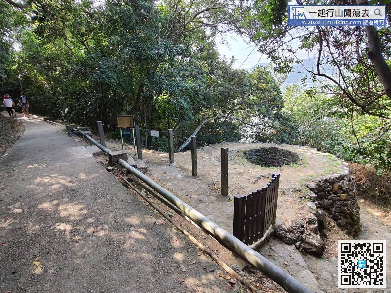
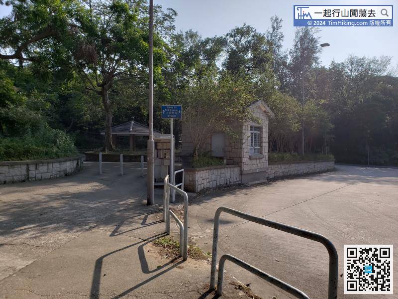
 24︰Come to an important bifurcation,
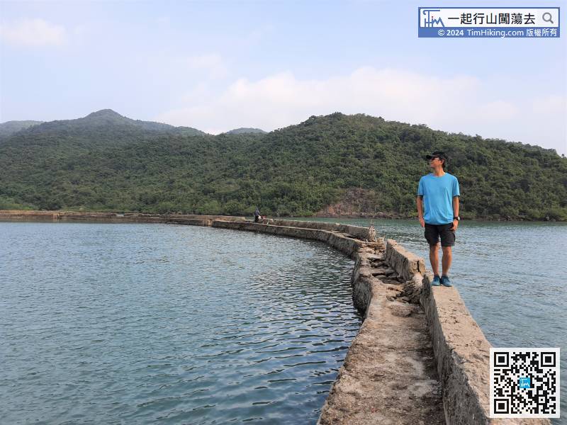
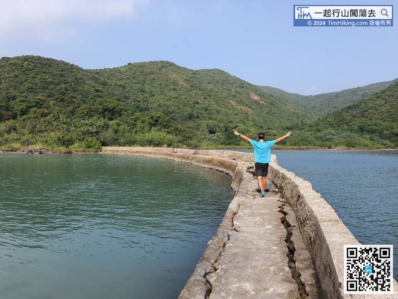
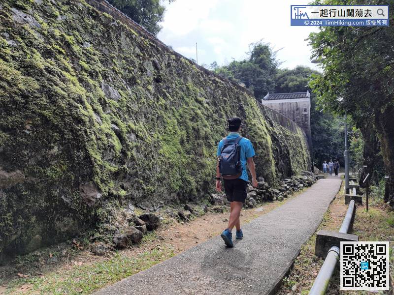
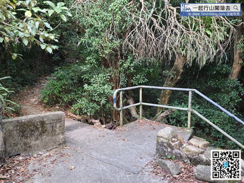 36︰To pass the dike, must cross a sluice gate that was destroyed by typhoon Mangkhut earlier.
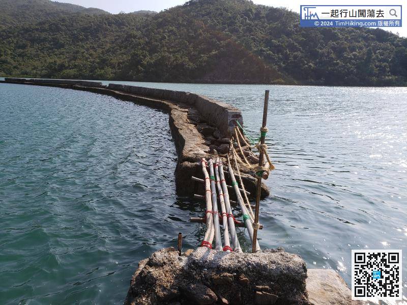
To pass the dike, must cross a sluice gate that was destroyed by typhoon Mangkhut earlier.
45︰Turn left can go back to Sheung Yiu,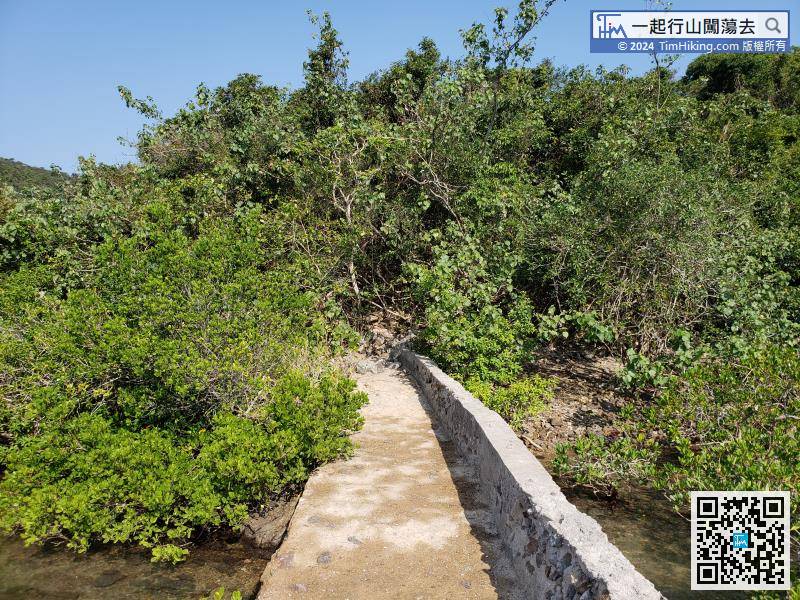 56︰The Campsite is not too big, the size is similar to Shui Long Wo.
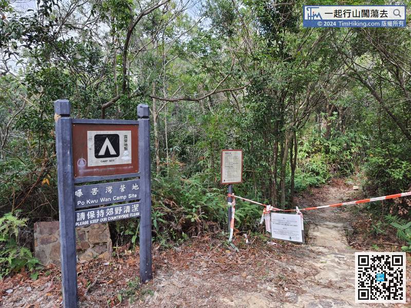 63︰When coming to the next bifurcation, turn left, the right way is to Nam Fung Wan Campsite.
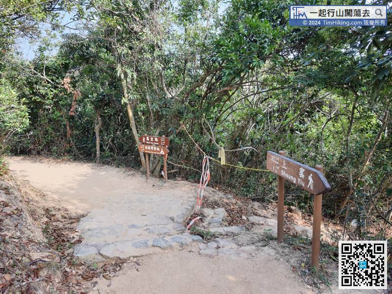
When coming to the next bifurcation, turn left, the right way is to Nam Fung Wan Campsite.


