


 Recommend YouTube


| View : |  | ||
| Difficulty : |  (Offical) | ||
 (Now) | |||
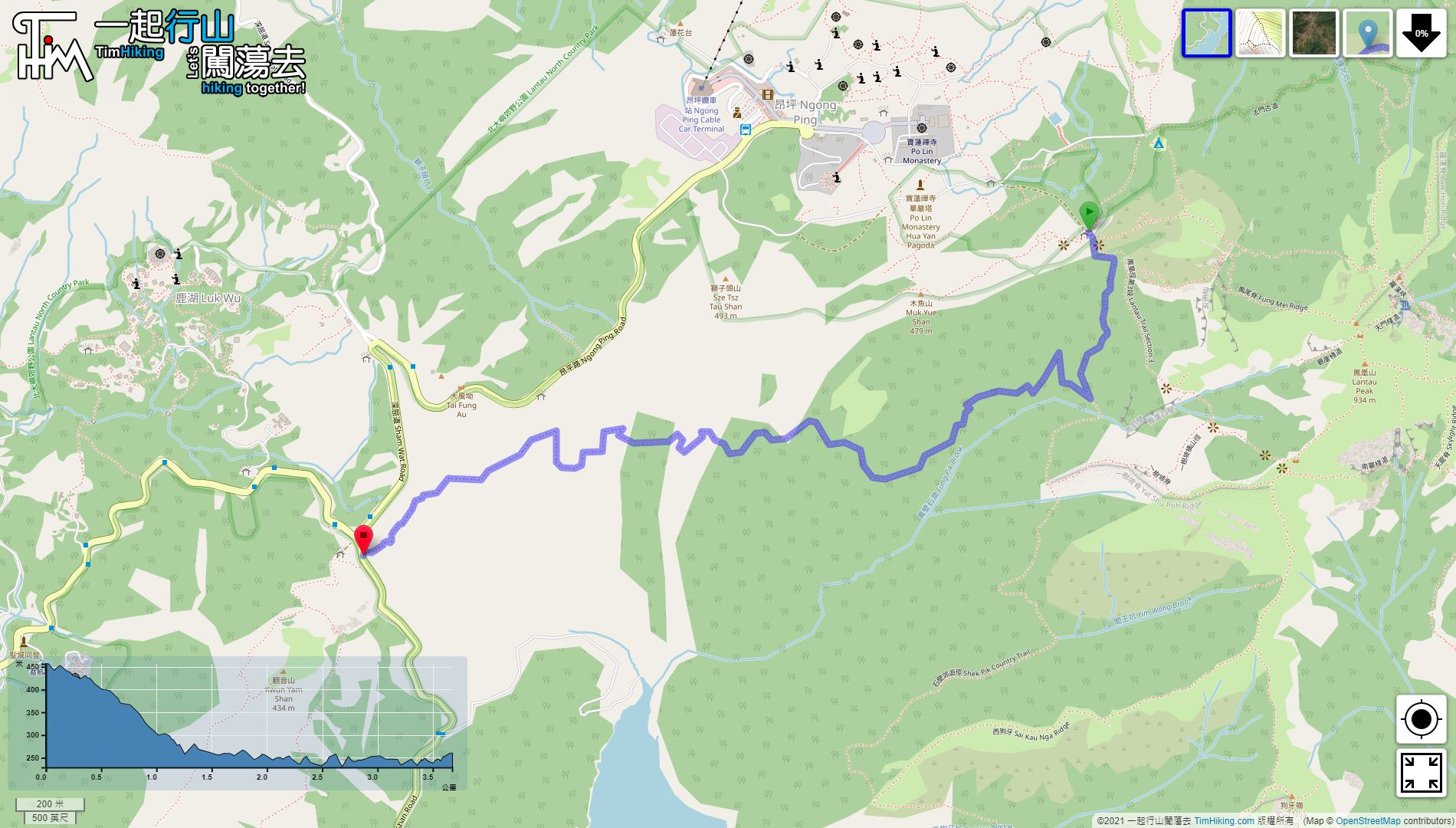
| Path : | |||
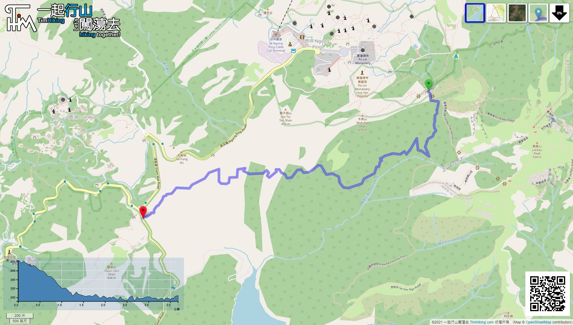
| Length : | 3.7km | ||
| Estimate : | 1¼hours | ||
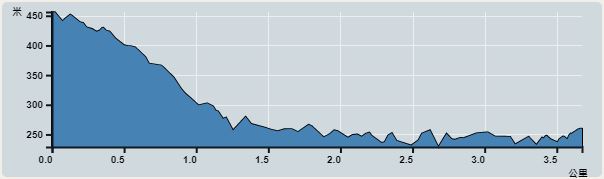 | |
| Ascent : 227m | Descent : 263m |
| Max : 456m | Min : 229m |
| (The accuracy of elevation is +/-30m) | |
 山泥傾瀉
山泥傾瀉
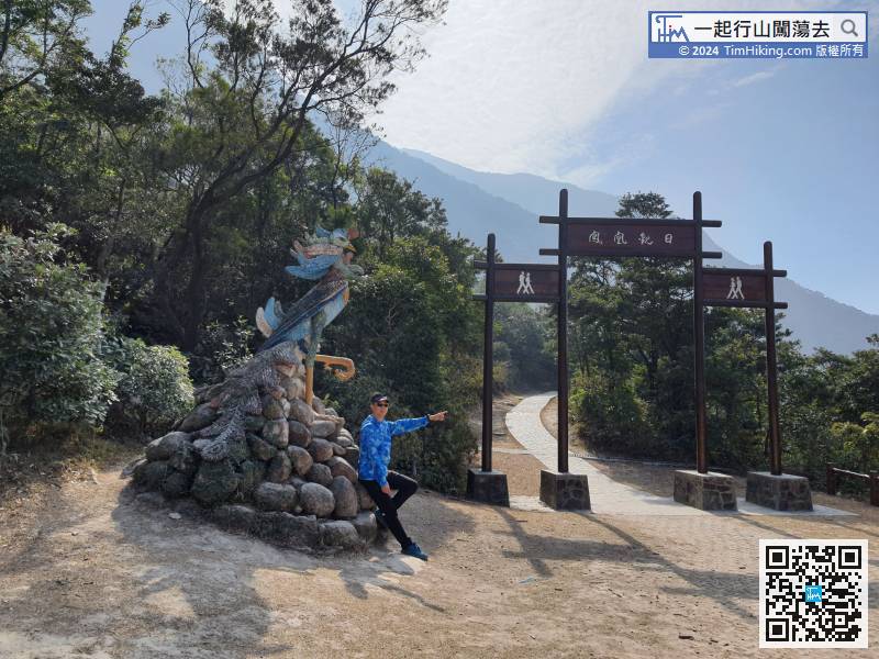
 7︰will come to the big archway of Phoenix View, which is the junction of Lantau Trail (Section 3) and (Section 4).
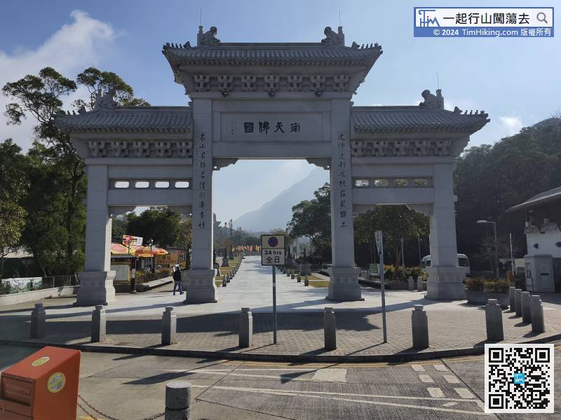
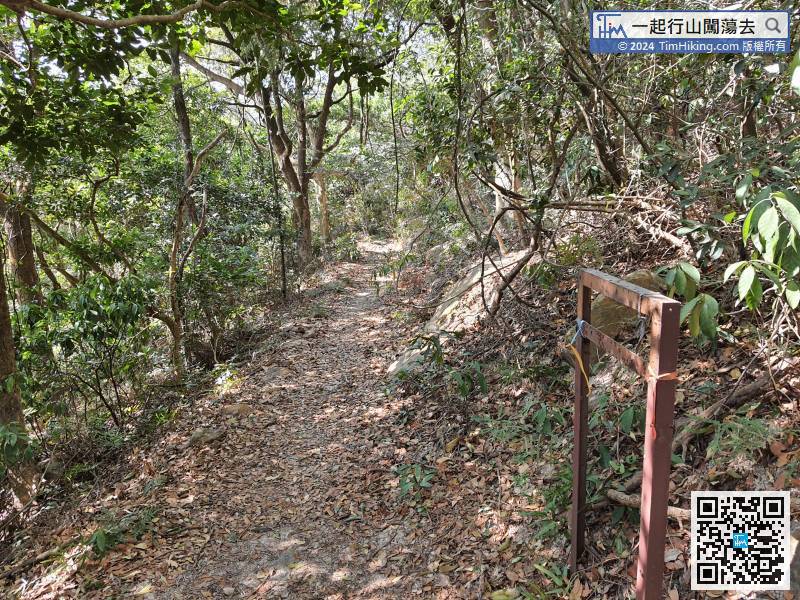
 18︰go about 100 meters more and pay attention to the entrance of the barren trail on the right.
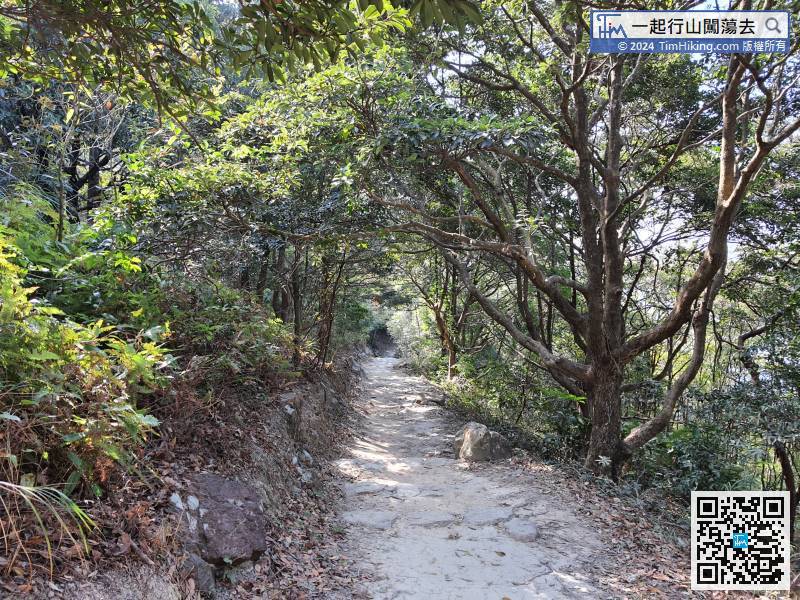 22︰Let's find the ribbon to obtain the road. When going down from the official country trail, this trail is very obvious,
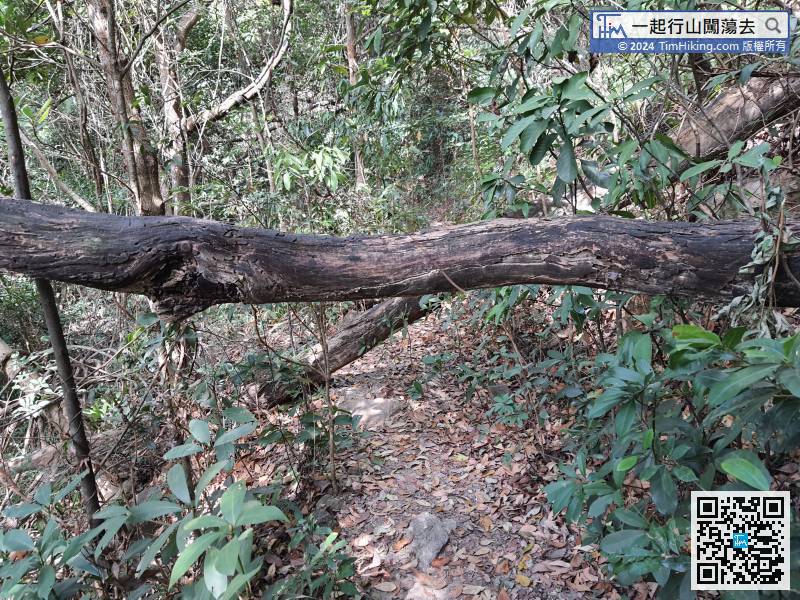
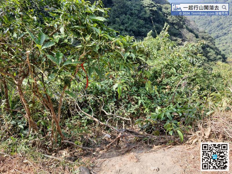 26︰After a while, will come to the easiest place to go wrong in the whole section, finding for the ribbons tips.
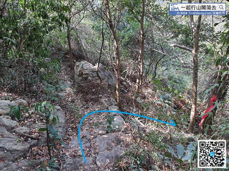
After a while, will come to the easiest place to go wrong in the whole section, finding for the ribbons tips.
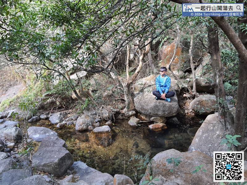
37︰There will be a small pool in the middle.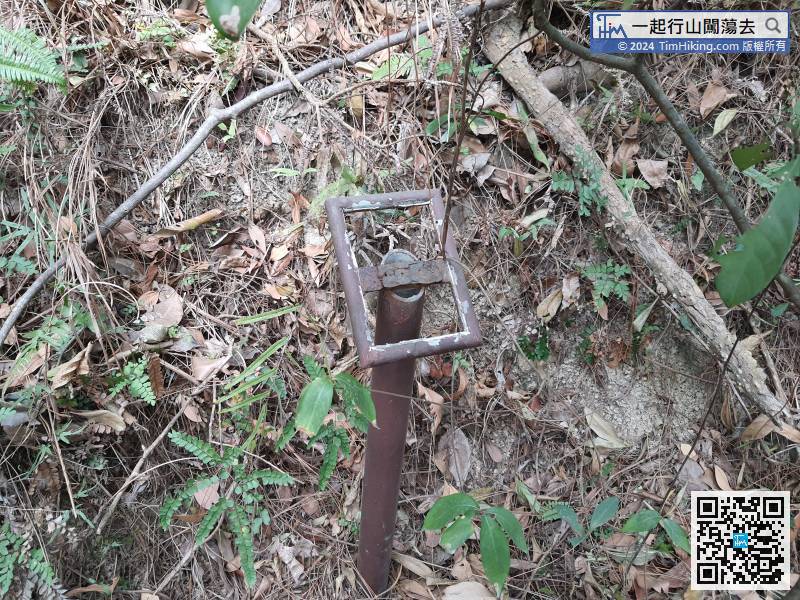
In addition to the removed distance post, will also find the removed flooding warning signs.
54︰Final, come to the dangerous collapse position of landslide,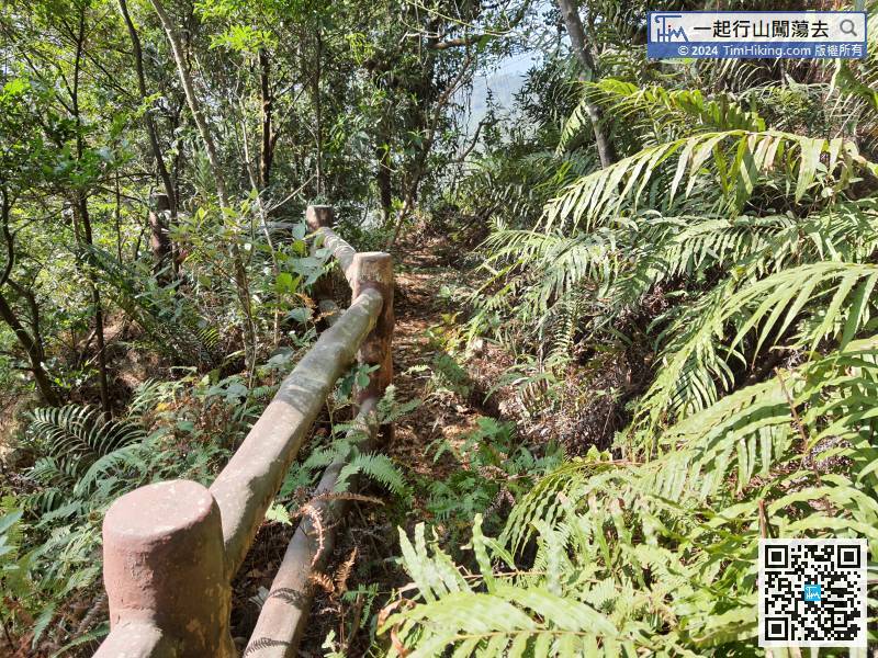 59︰The exit will connect to Keung Shan Road.
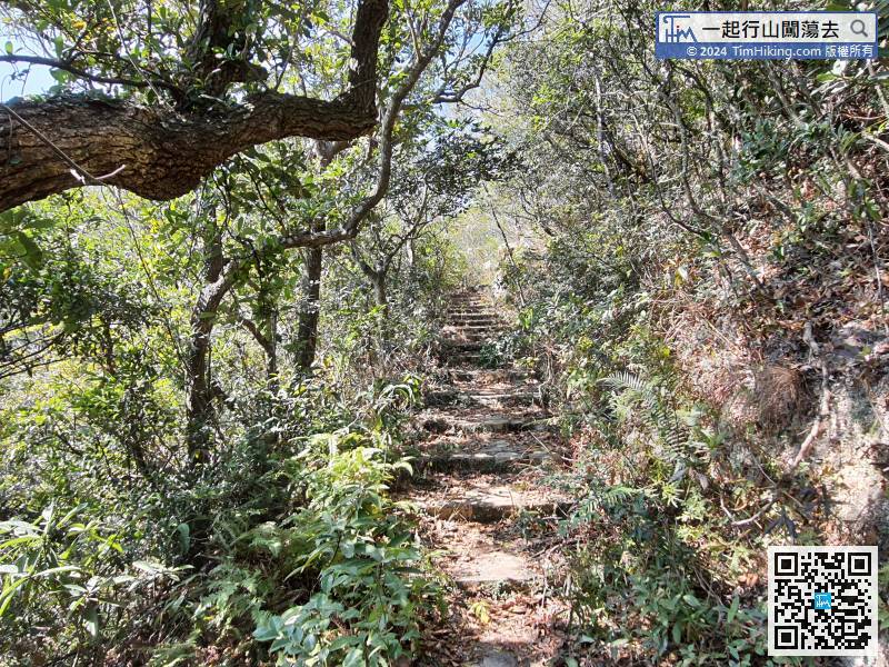
The widening of the mountain trail actually means that the exit is about to be reached.


