


 Recommend YouTube


| View : |  | ||
| Difficulty : |  | ||
| Path : | |||
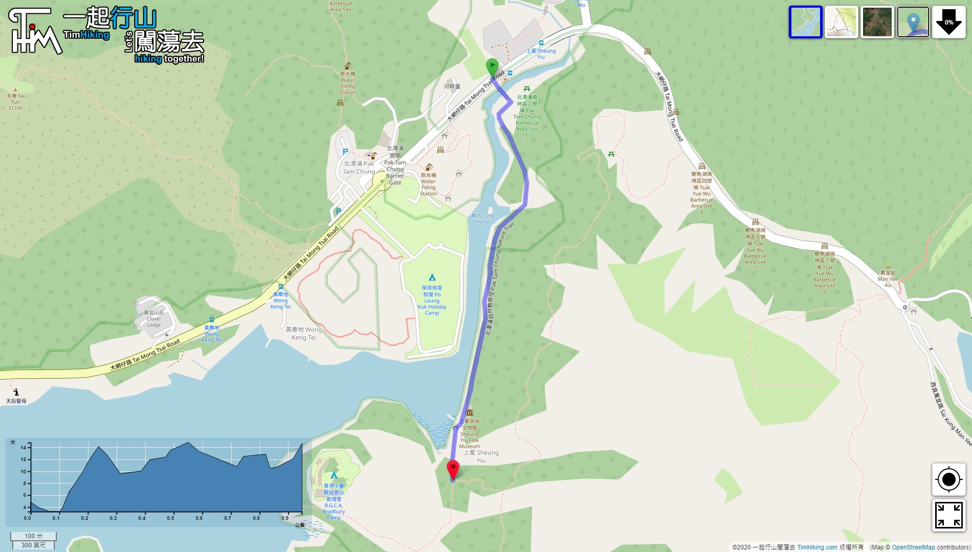
| Length : | 1km | ||
| Estimate : | ½hours | ||
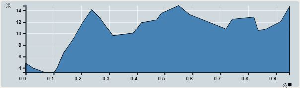 | |
| Ascent : 12m | Descent : 12m |
| Max : 15m | Min : 3m |
| (The accuracy of elevation is +/-30m) | |


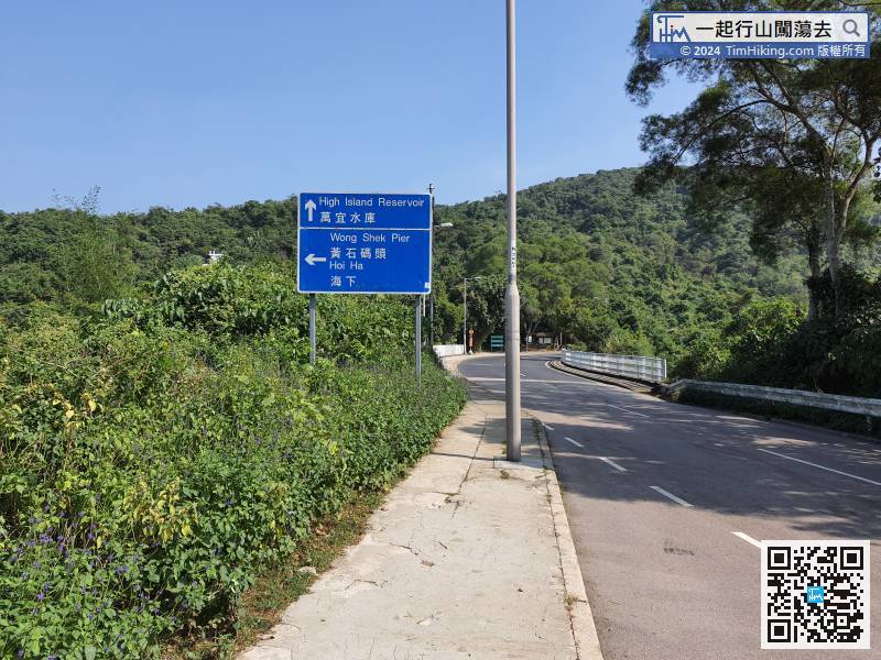
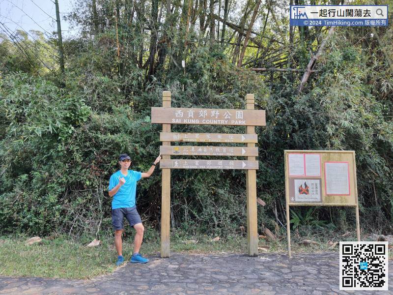
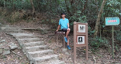
First of all, take the 94/96R bus or 7/9 minibus and get off before turning to Pak Tam Road, which is Sheung Yiu bus stop.
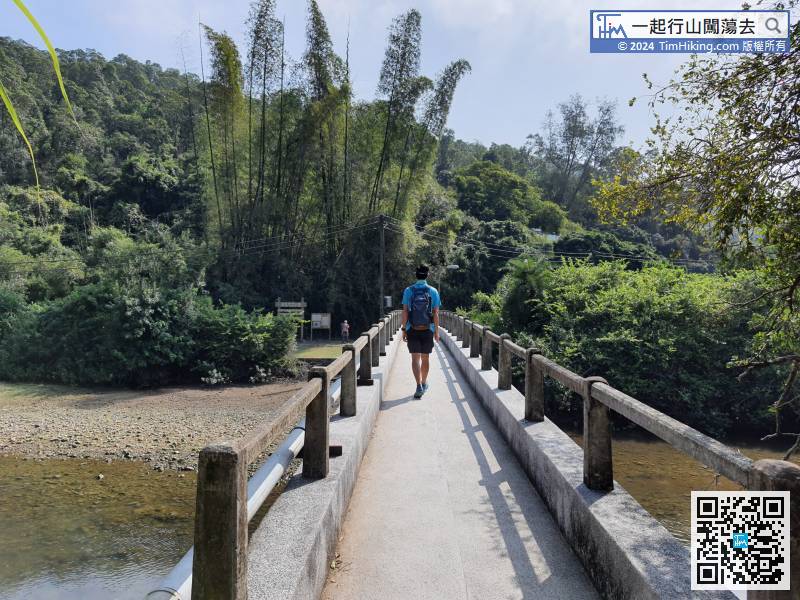
 8︰First, cross the Pak Tam Chung Fuk Hing Bridge, across the Orange River to the other side,
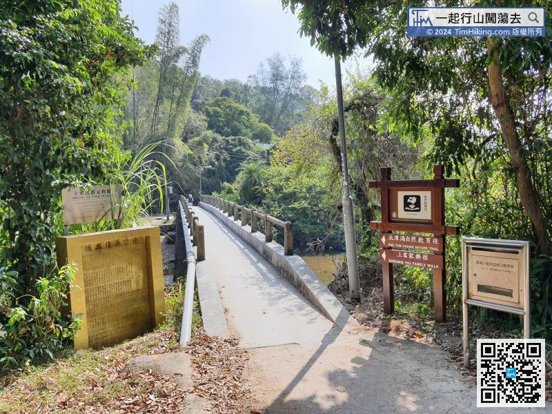
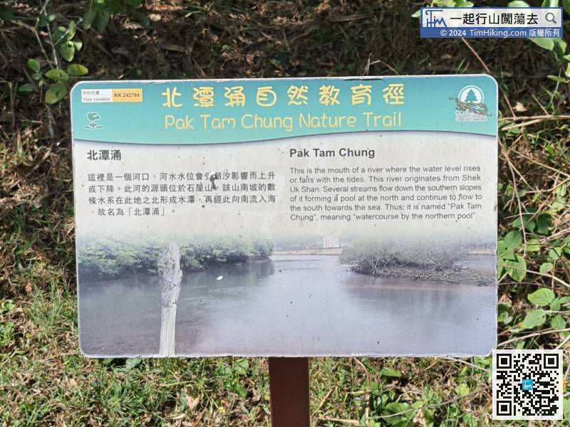
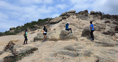
The first viewing spot is at the mouth of the river. The content introduces the origin of Pak Tam Chung's name.
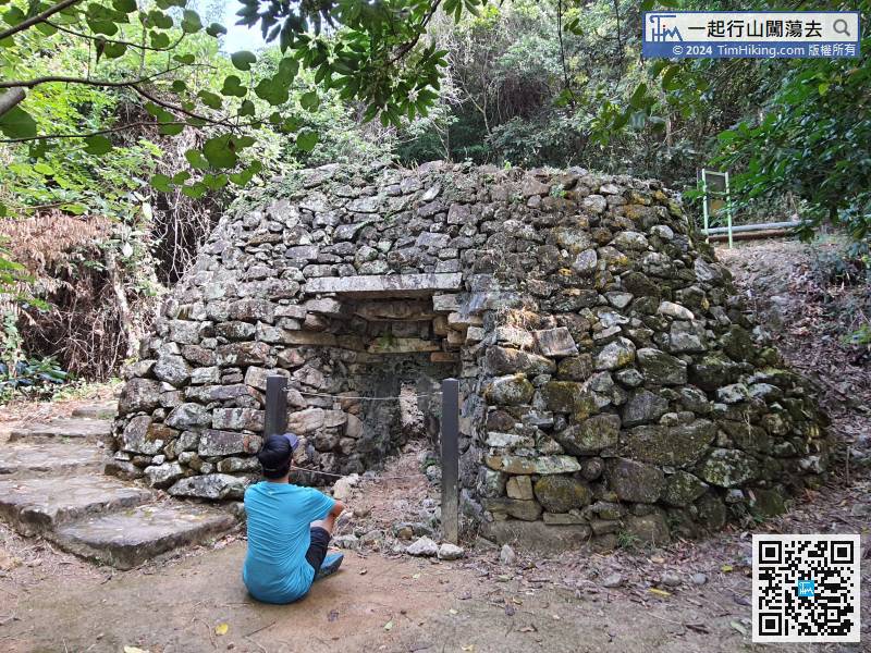
23︰It was an ancient kiln used by villagers to collect sea shells and burn lime.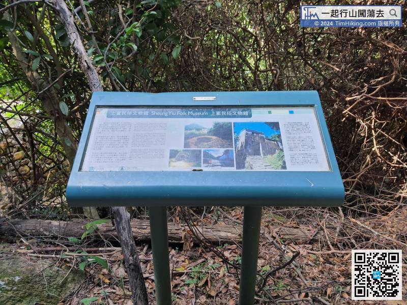 27︰Sheung Yiu Village is besides, it was built on a high platform.
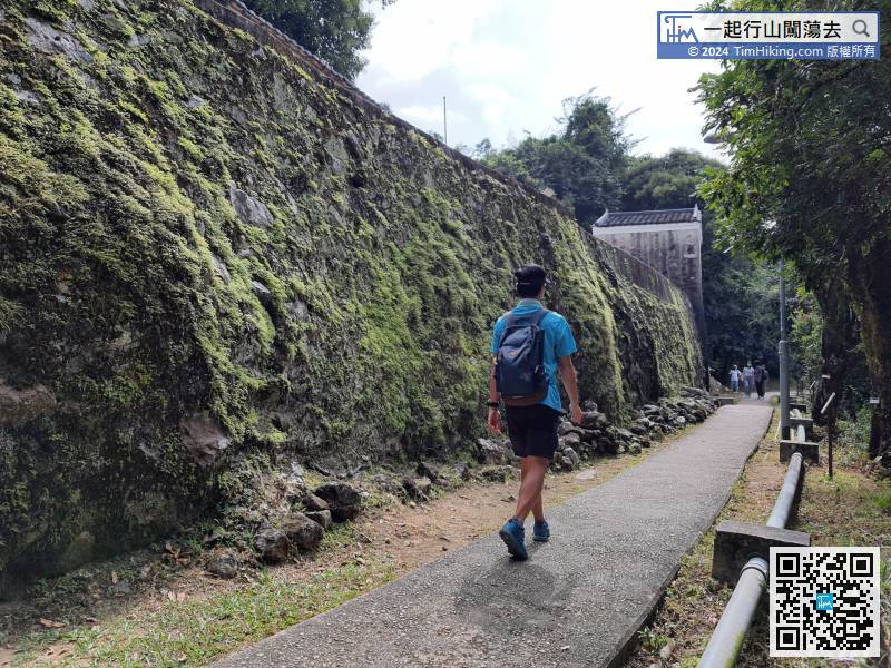
 35︰It was a transportation hub to and from Sai Kung.
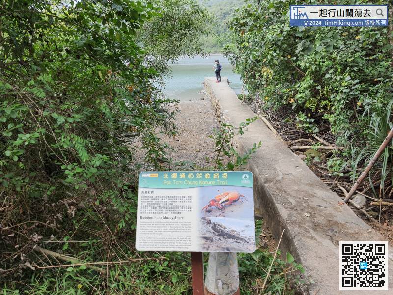


