


 Recommend YouTube


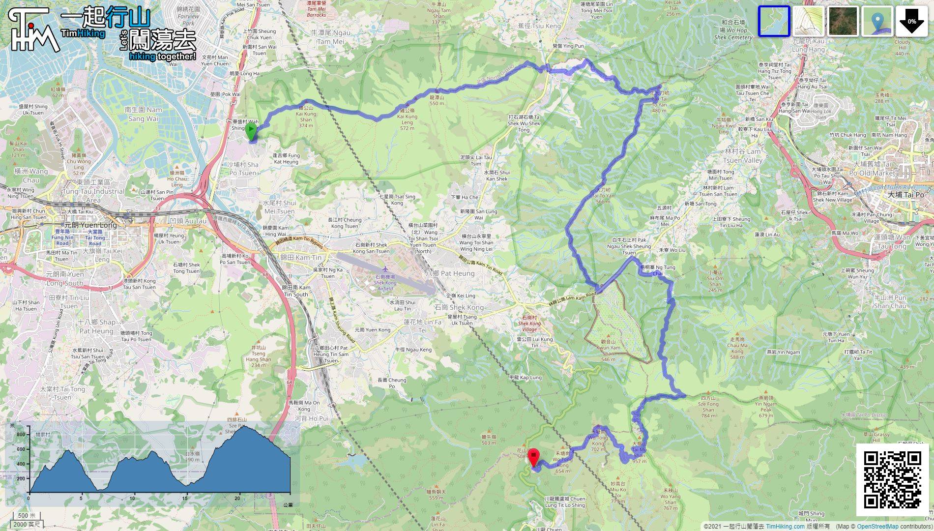
| View : |  | ||
| Difficulty : |  | ||
| Path : | |||
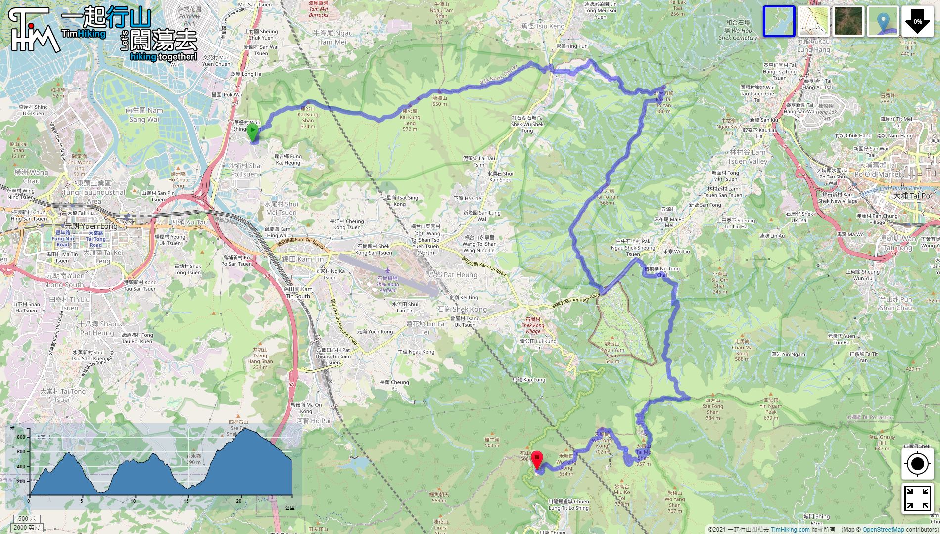
| Length : | 24.8km | ||
| Estimate : | 7hours | ||
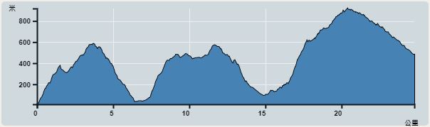 | |
| Ascent : 1,983m | Descent : 1,507m |
| Max : 918m | Min : 10m |
| (The accuracy of elevation is +/-30m) | |


 Store、Man Tak Yuen
 8︰and walk to the second group of power transmission poles. The intersection with more rugged wooden steps is the starting point for the Three Tai.
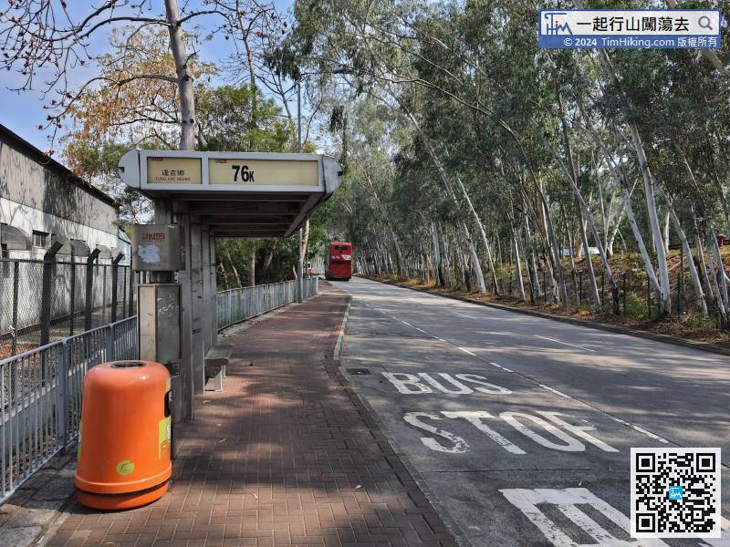
The starting point is at Fung Kat Heung. You can take the 76K bus or the 36/603 minibus from Yuen Long and get off at Fung Kat Heung.
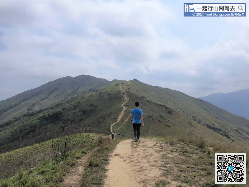
16︰Along the way, there are many branch trails. In order to protect the ridges, try to walk on the main trails with steps.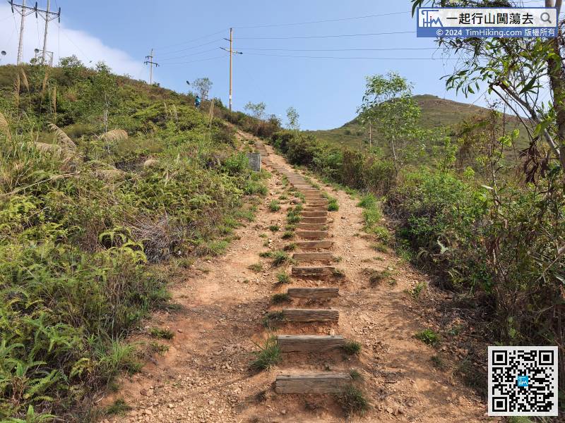
The entrance is a beautiful step, each step is not high, but it is very long.
24︰the trails are full of sand and gravel.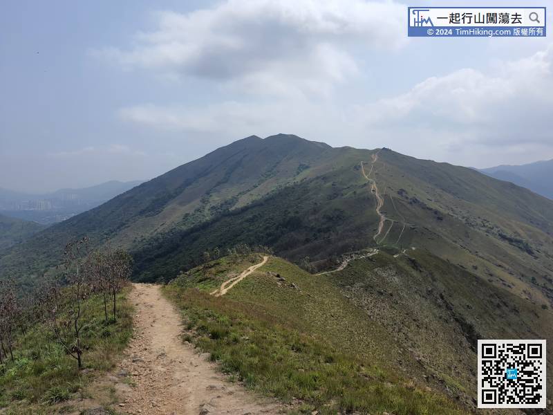 48︰The successive bifurcations should be chosen carefully,
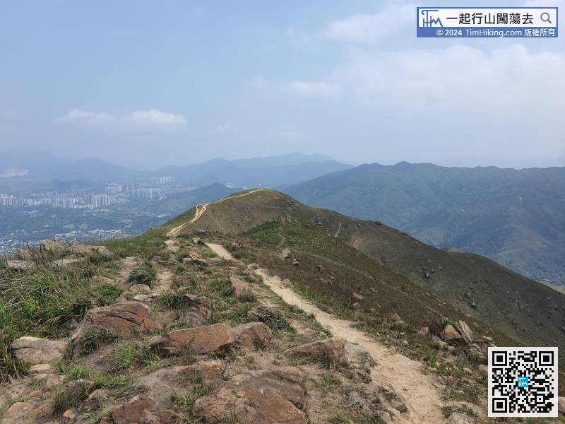
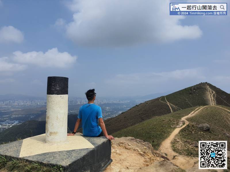
Next, head to the last peak of Kai Kung Leng.
73︰come to the next intersection, then turn right.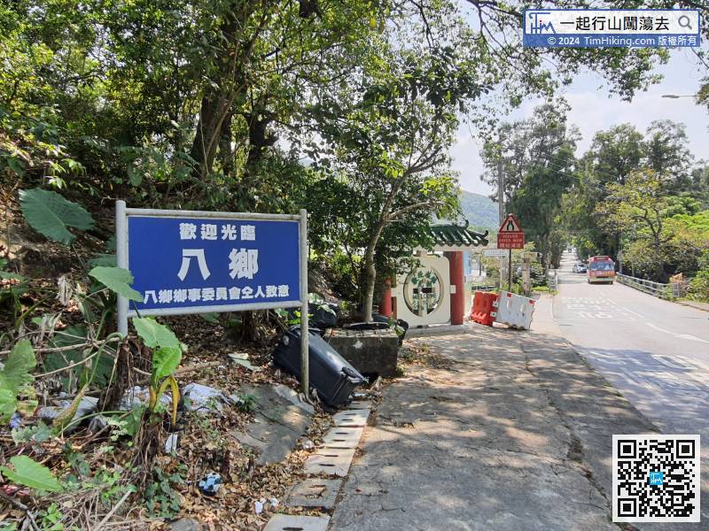
Turn right and go ahead for several tens of meters,
99︰easy to walk.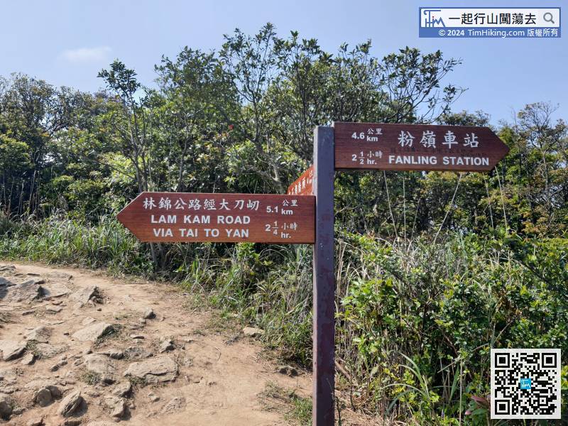
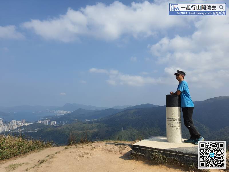
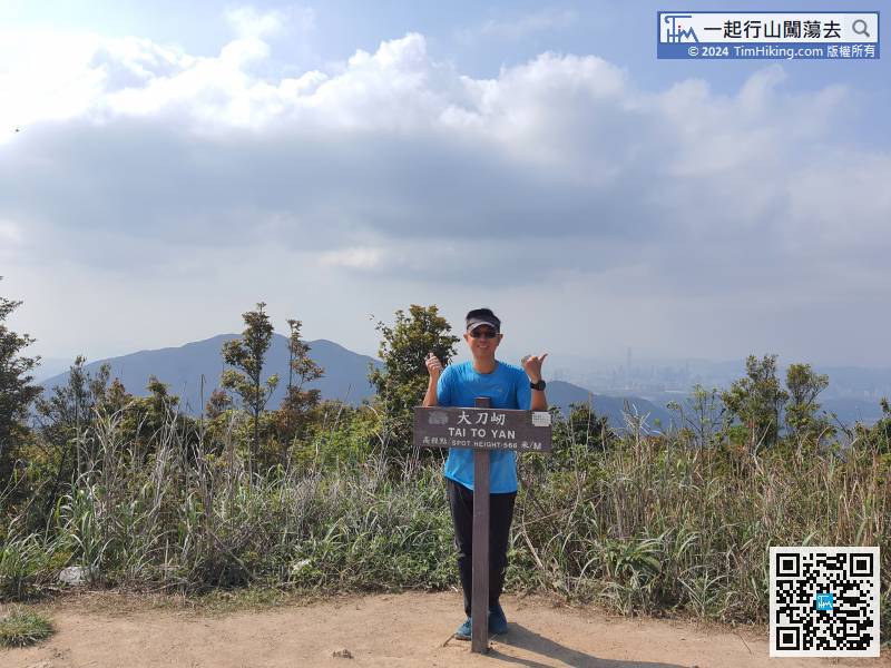
The second Tai has not yet reached the top. Return to the last intersection and head towards Lam Kam Road via Tai To Yan.
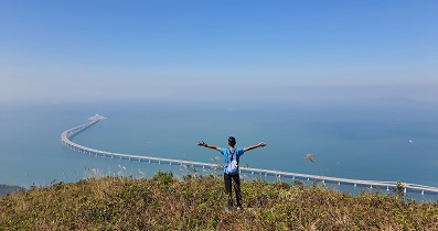
113︰The Golden Silver Bridge is mainly divided into two sections, also known as the Golden Silver Two Bridge.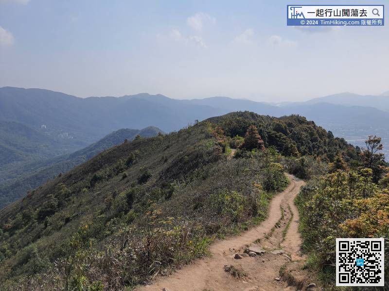
After reaching the top of the second Tai, leaving from the other end.
137︰At the bifurcation, pay attention to the signs on the ground. Anyway, just follow the instructions all around.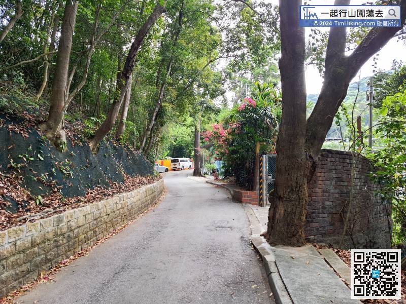
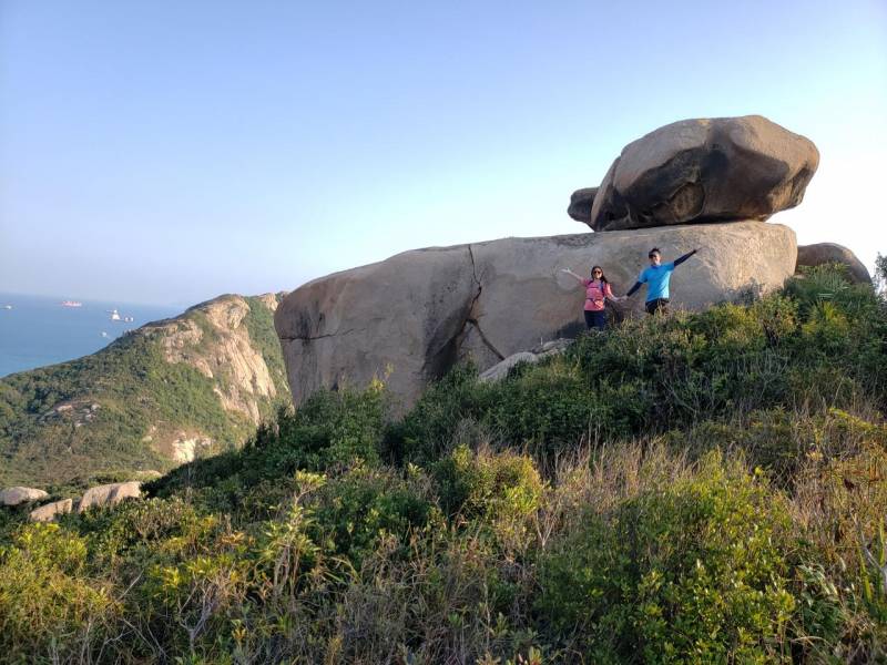
The third Tai begins with a wide road,
154︰soon connect to the infinite steps of third Tai.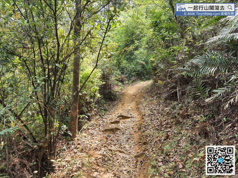
Following the mountain trail,
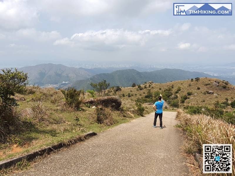
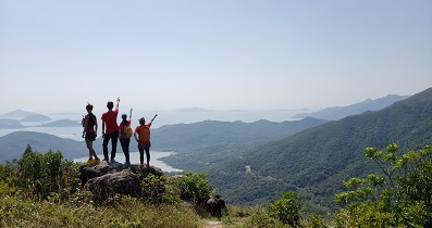
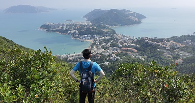
181︰The scenery is not unilateral, also able to see the first Tai 'Tai Lo Tin' and the second Tai 'Tai To Yan' just passed several hours ago.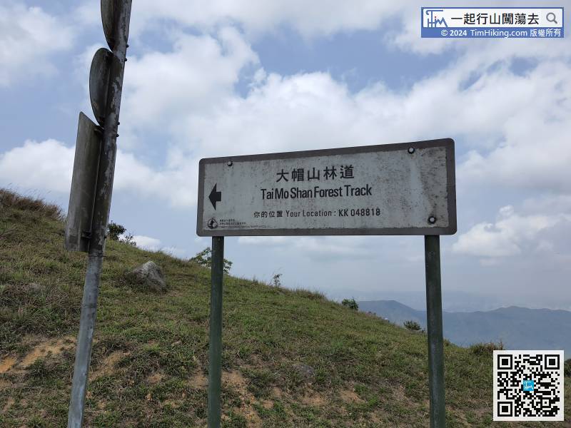
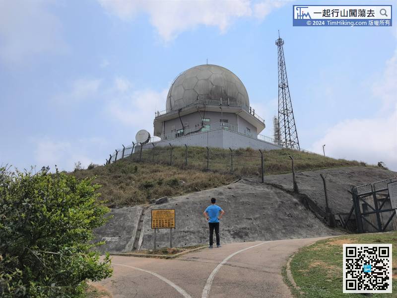
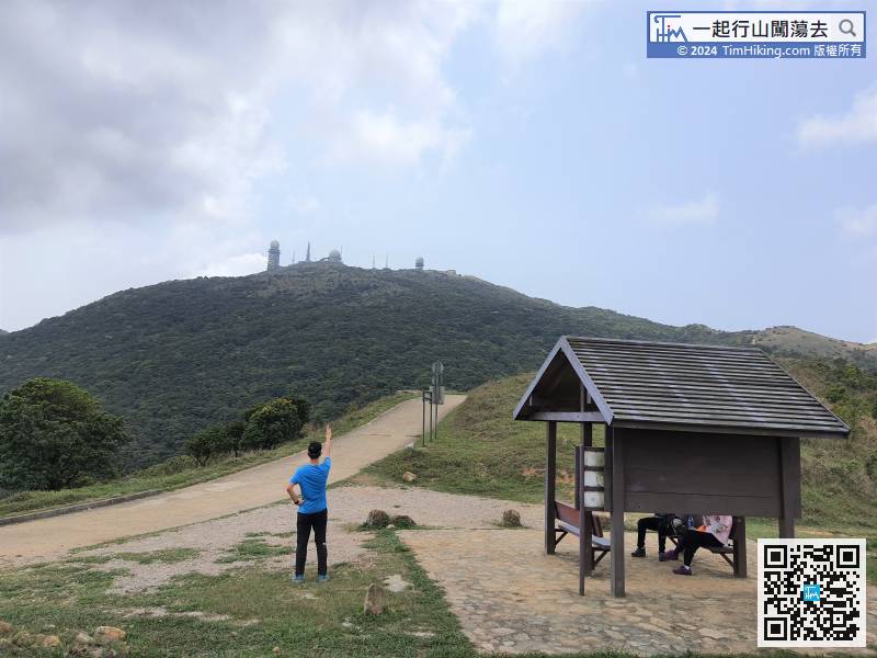
After walking on the Tai Mo Shan Forest Track, the hardest part has been passed.


