


 Recommend YouTube


| View : |  | ||
| Difficulty : |  | ||
| Path : | |||
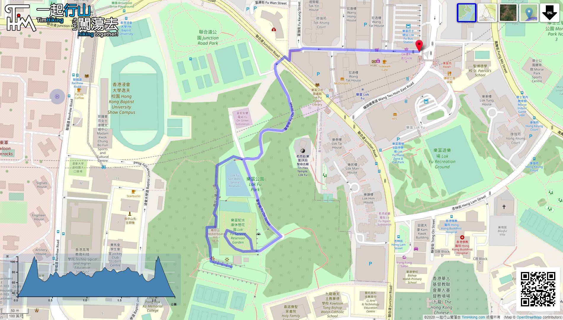
| Length : | 2.3km | ||
| Time : | 1½hours | ||
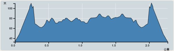 | |
| Ascent : 196m | Descent : 191m |
| Max : 110m | Min : 33m |
| (The accuracy of elevation is +/-30m) | |


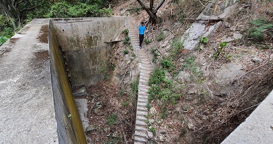
 8︰there is a small stone step on the left,
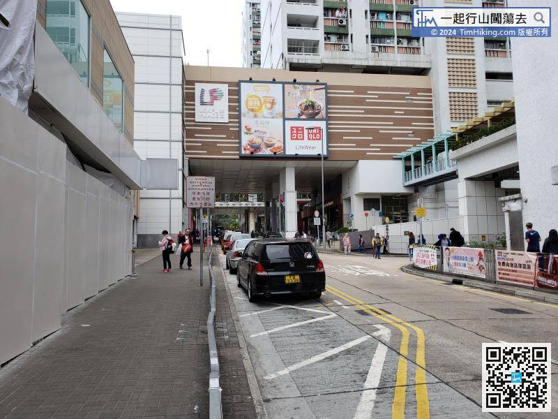
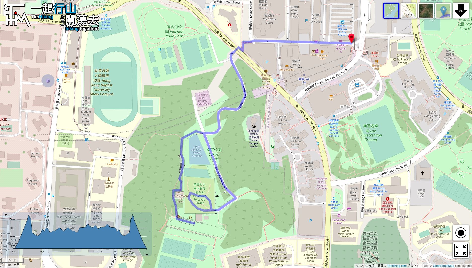
First, take the MTR to Lok Fu Station, leave at Exit A, turn left and follow Wang Tau Hom South Road. Go straight,
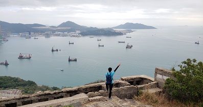
19︰Besides the trigonometrical station, can see the entire Lok Fu Service Reservoir Rest Garden. There is a large grassy slope on the top of the reservoir, just like the closed Shek Kip Mei reservoir.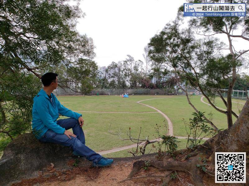
Besides the trigonometrical station, can see the entire Lok Fu Service Reservoir Rest Garden. There is a large grassy slope on the top of the reservoir, just like the closed Shek Kip Mei reservoir.
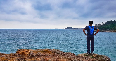
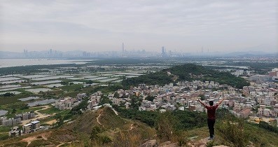
25︰On the platform, overlooking the entire Kowloon City District, sigh that Kai Tak Airport has left silently, and one after another high-rise buildings have also quietly stood up,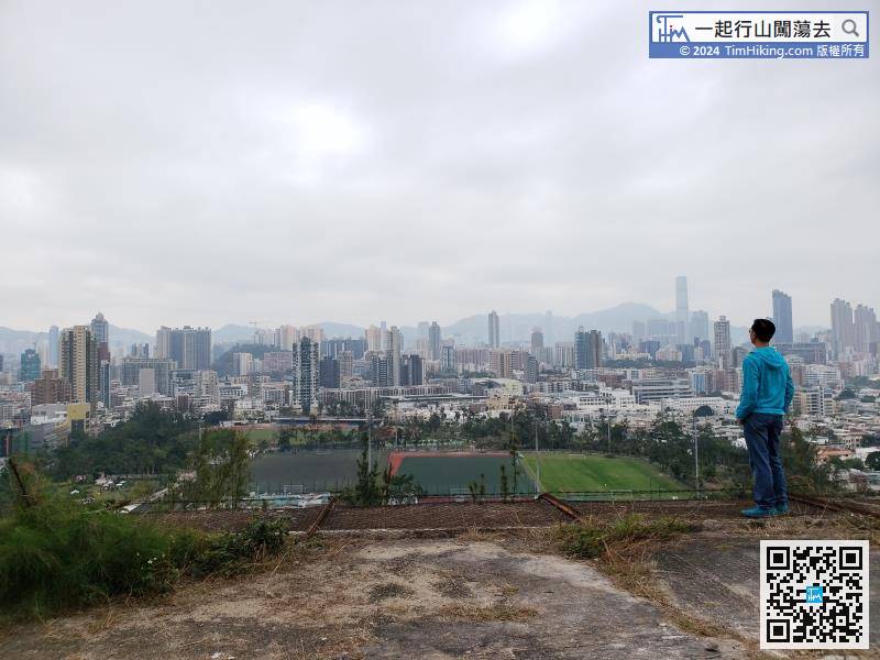
On the platform, overlooking the entire Kowloon City District, sigh that Kai Tak Airport has left silently, and one after another high-rise buildings have also quietly stood up,


