


 Recommend YouTube


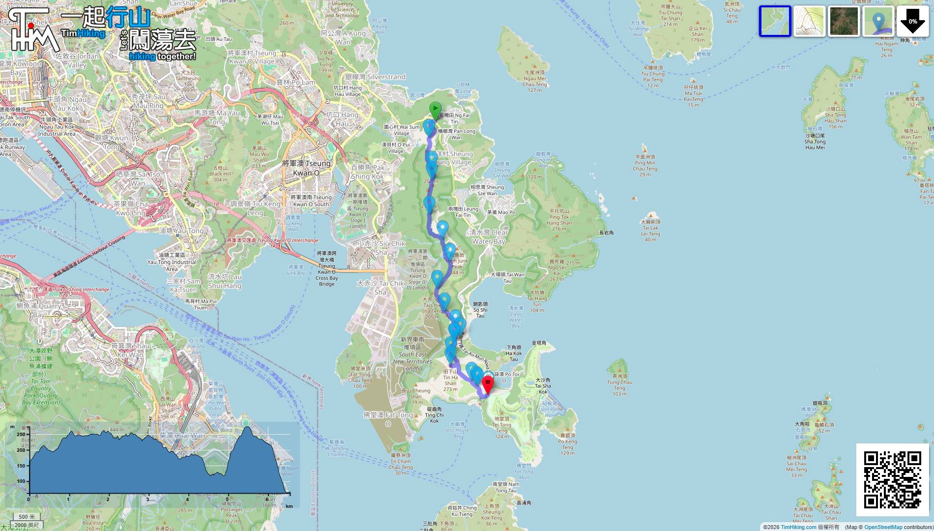
| View : |  | ||
| Difficulty : |  | ||
| Path : | |||
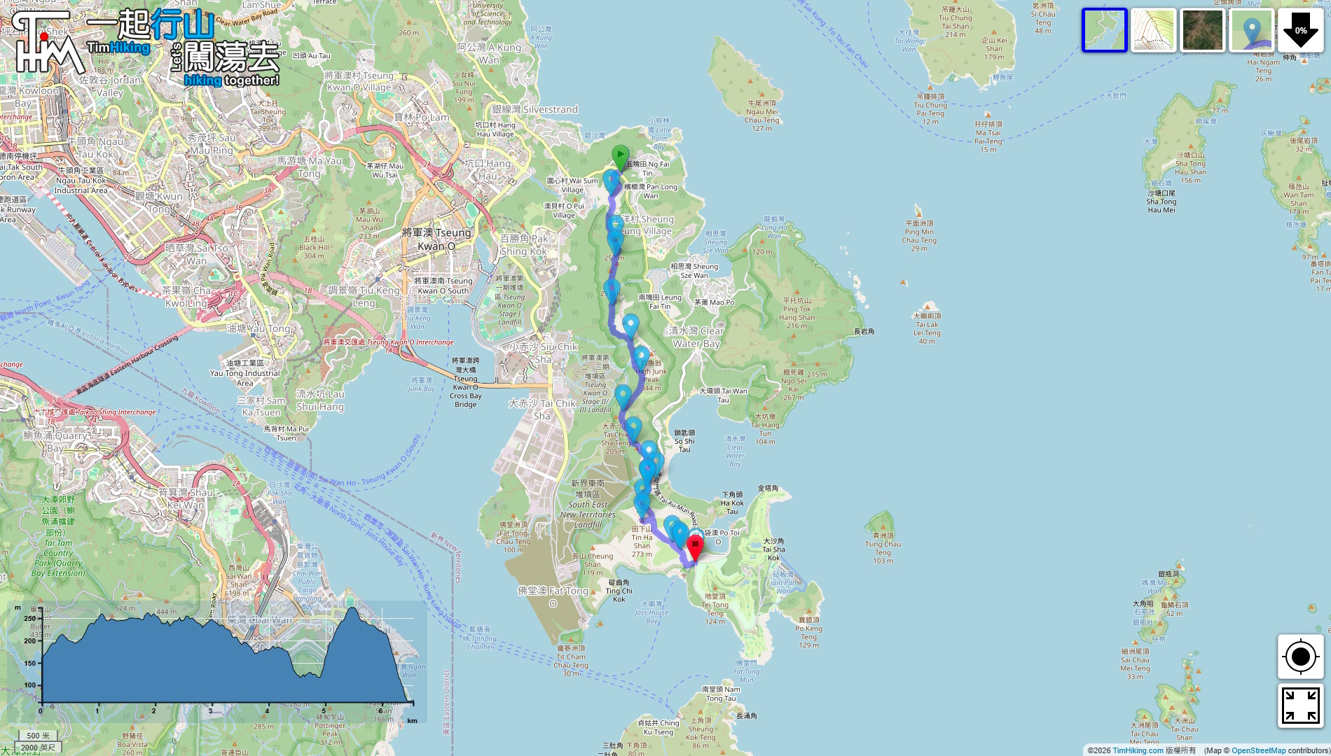
| Length : | 6.6km | ||
| Time : | 3½hours | ||
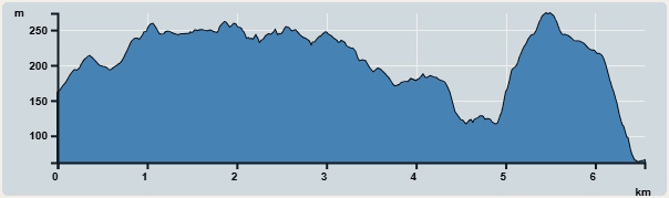 | |
| Ascent : 434m | Descent : 520m |
| Max : 248m | Min : 49m |
| (The accuracy of elevation is +/-30m) | |


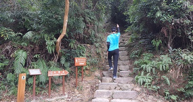
 7︰At the first fork, turn left,
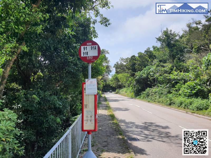
The starting point is at Ng Fai Tin. Hikers can take bus 91/91R or minibus 16/103/103M and get off at Ng Fai Tin.
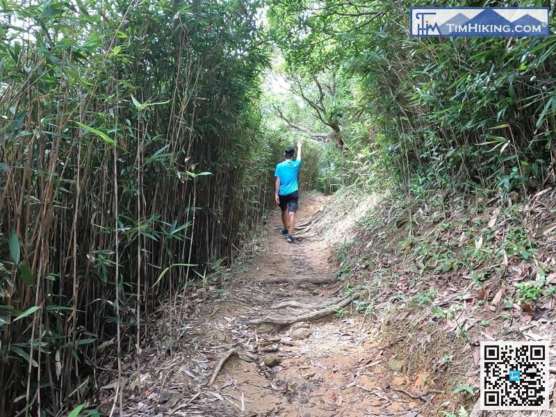
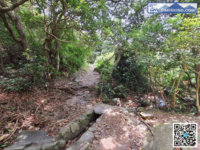
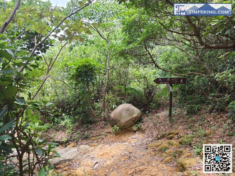
All of the trails are official trails, so the road signs are very clear.
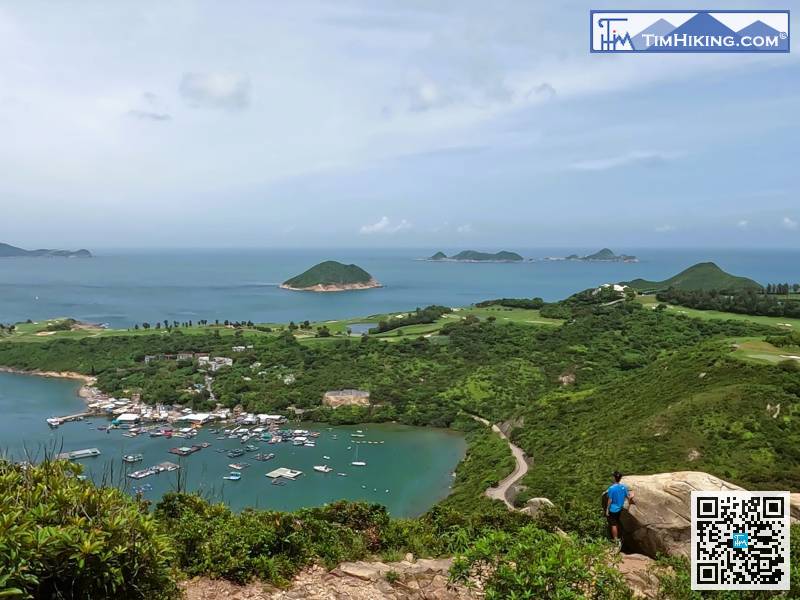
26︰In the middle, can see Po Toi O on the left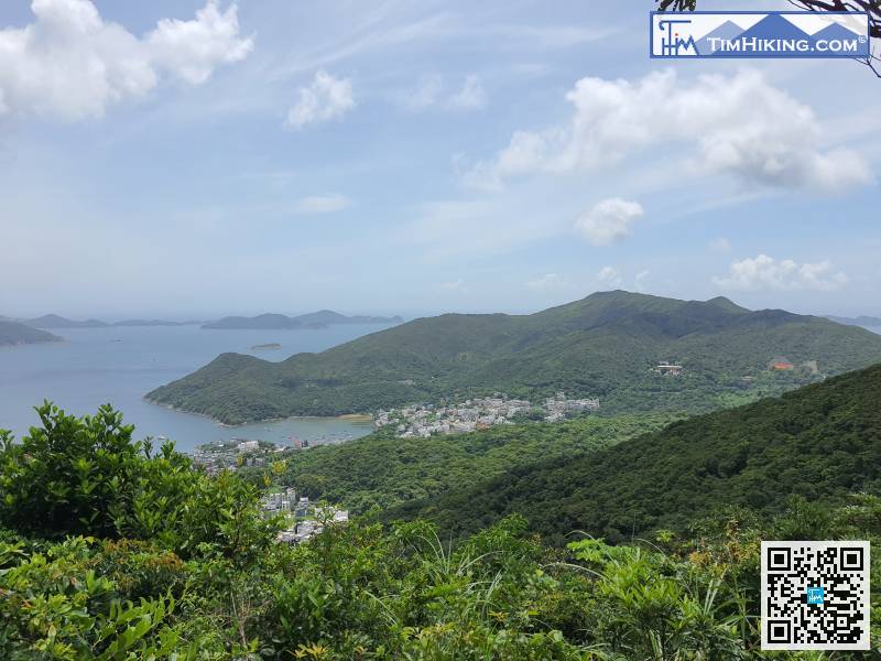 35︰Walk along the clear mountain trail, go to a place where there is a small piece of rotten land,
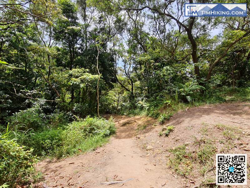
Walk along the clear mountain trail, go to a place where there is a small piece of rotten land,
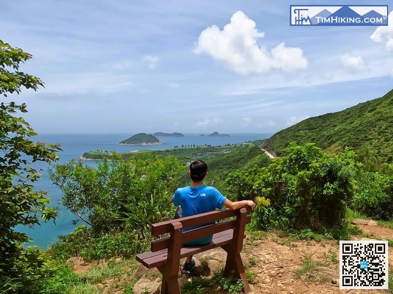
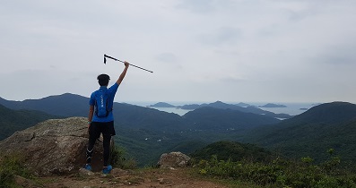
 72︰At the position of the wooden bench, might as well take a short break,
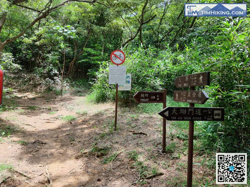
The next step is the most difficult section of the whole journey. It will take about 1.75km to Tai Miu
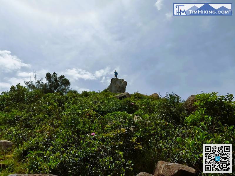
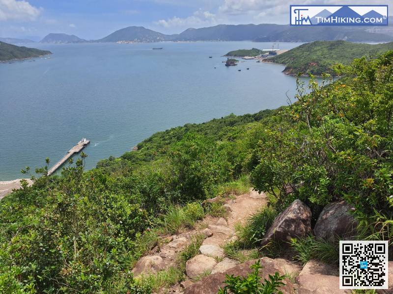
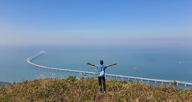
84︰The barren trail leads to Tin Ha Shan is located at the second large rock.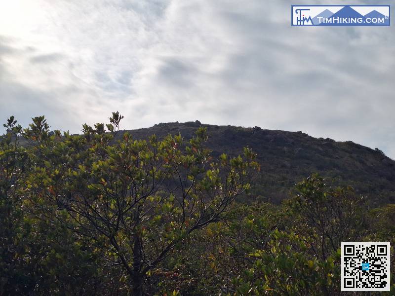 100︰Along the way, can overlook the entire The Clearwater Bay Golf & Country Club and Ninepin Group. It is definitely a 5-star scenery
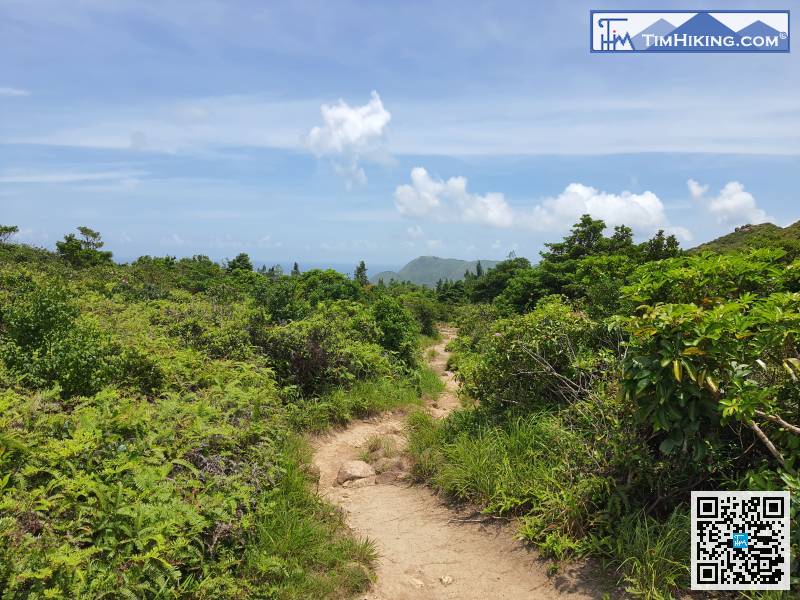
Continuously downhill, some of the steps are a bit narrow,


