


My little children, let us not love in word, neither in tongue; but in deed and in truth.
1 John 3:18
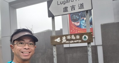
一起行山闖蕩去

TimHiking.com
TimHiking.com

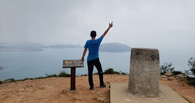
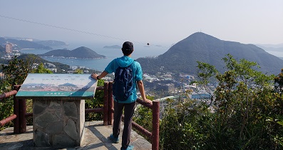
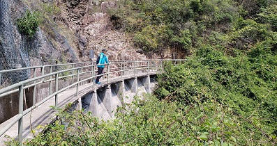
Hiking Route Map
一起爬山闖蕩去 | timhiking | timhiking | timhiking | Message Board | Disclaimer
My little children, let us not love in word, neither in tongue; but in deed and in truth.
1 John 3:18
一起爬山闖蕩去 | timhiking | timhiking | timhiking | Message Board | Disclaimer