


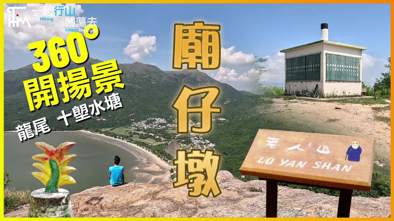
 Recommend YouTube


| View : |  | ||
| Difficulty : |  | ||
| Path : | |||
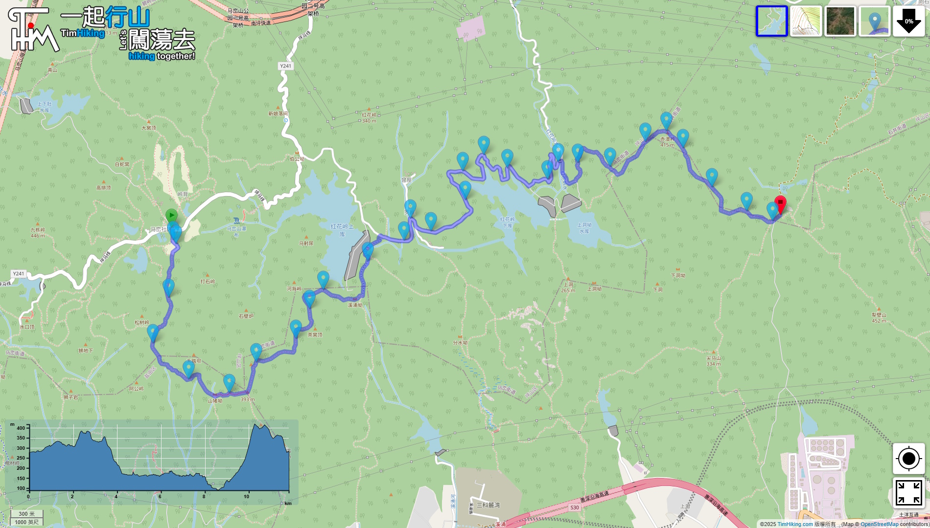
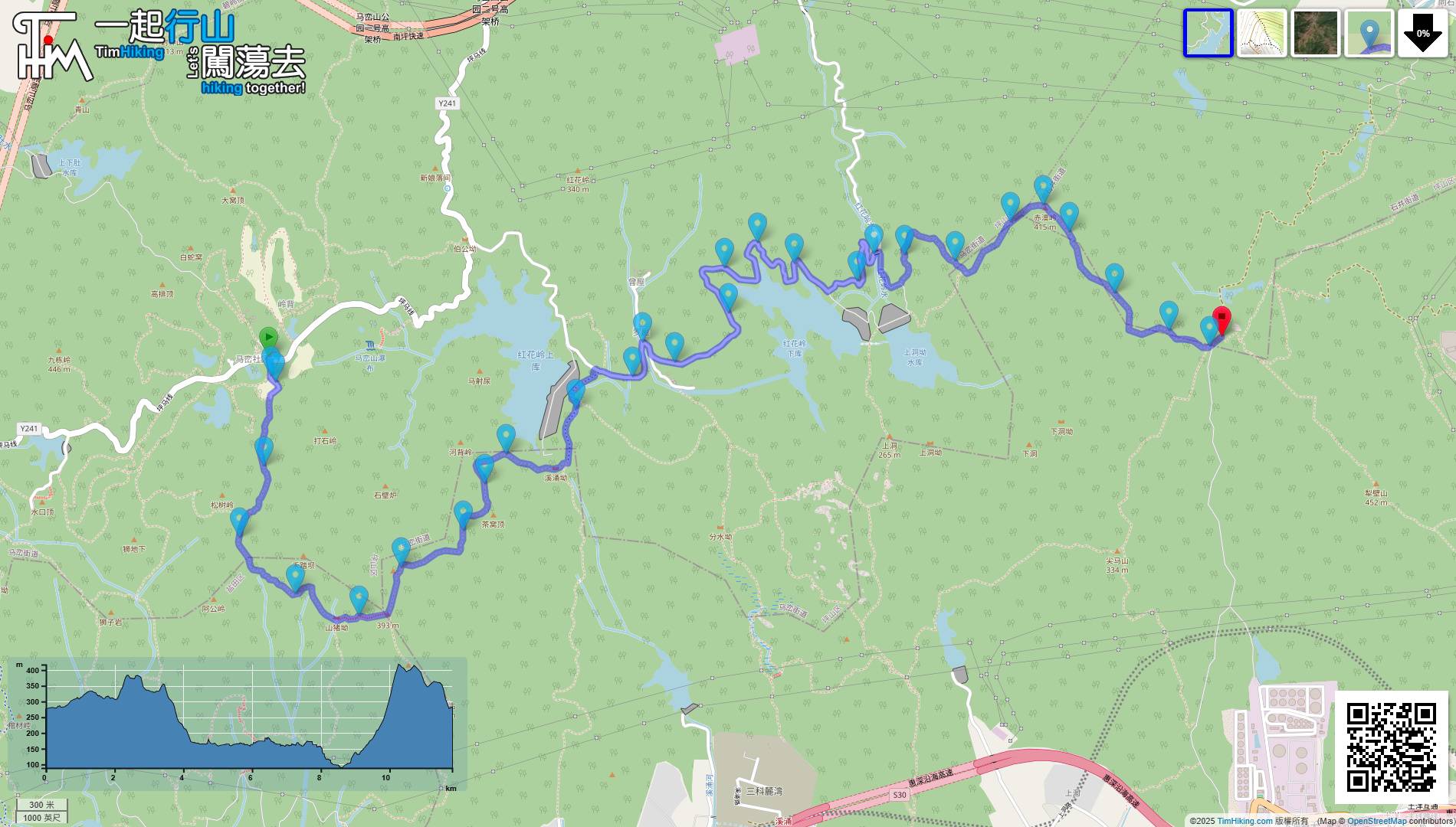
| Length : | 12.2km | ||
| Time : | 7hours | ||
 | |
| Ascent : 503m | Descent : 498m |
| Max : 417m | Min : 89m |
| (The accuracy of elevation is +/-30m) | |


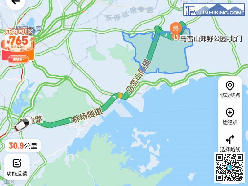
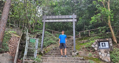
The journey is long, so take a taxi to 'Maluan Mountain Country Park - North Gate(馬巒山郊野公園-北門)' first,
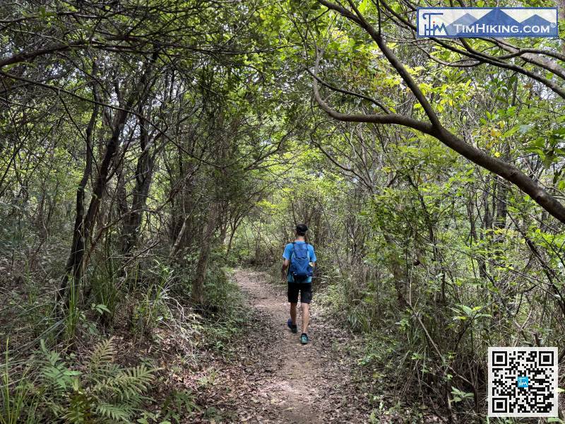
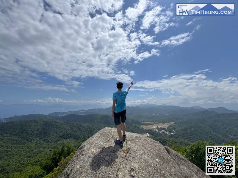
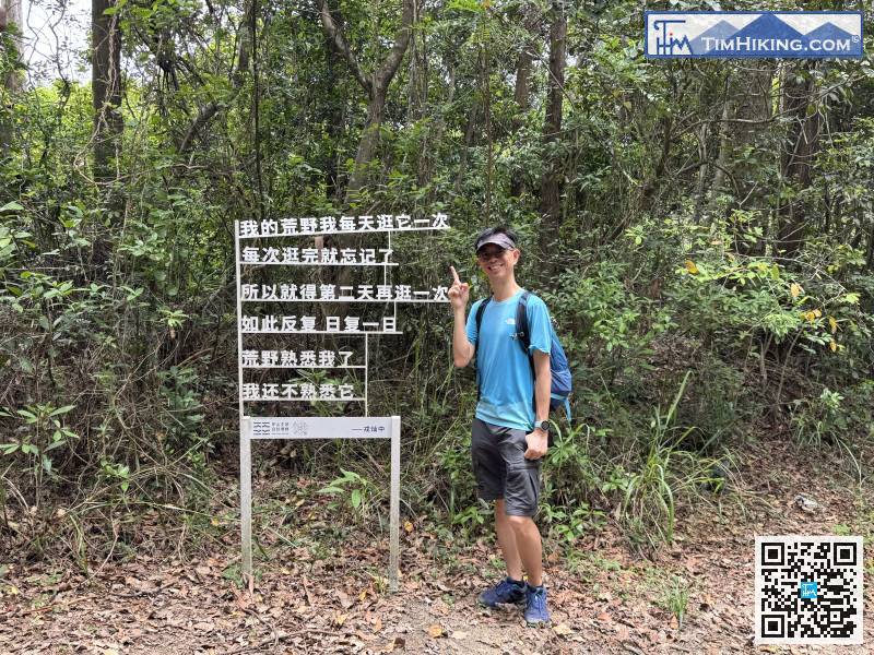
The mountain trail is as easy to walk as a Country Trail.
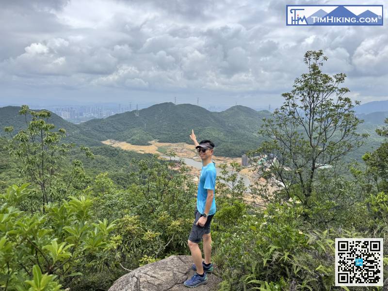
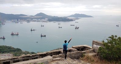
On the way, you can overlook the Honghualing Upper Reservoir.
The next section is a 4-kilometer flat road.
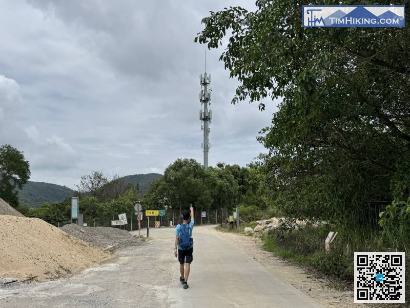
There are many transmission towers nearby, one every few hundred meters, and the mobile phone signal is always full.
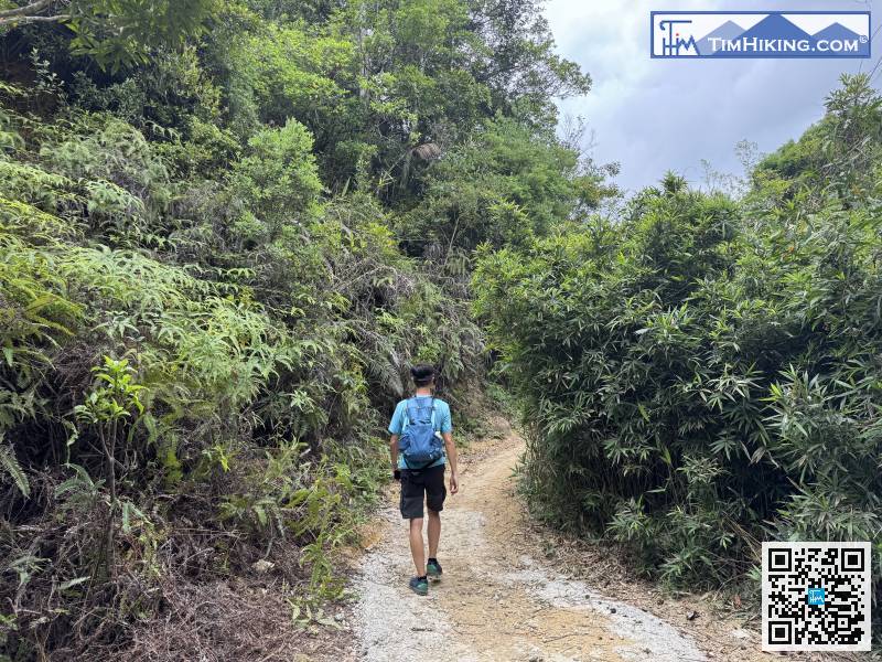
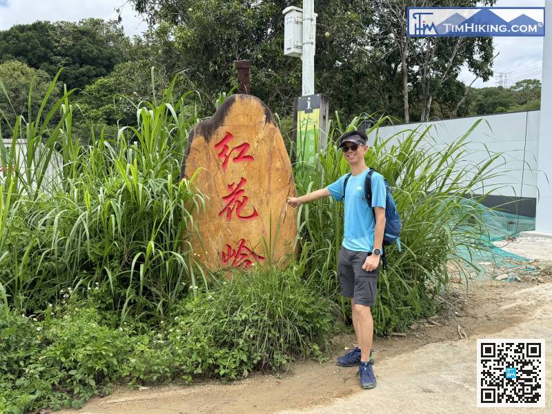
The mountain trail at the entrance is clear,
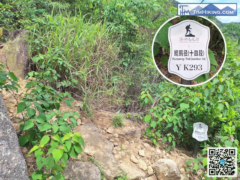
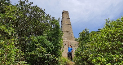
In the hidden place on the right side of the top of the big rock slope, you can find distance post YK293.
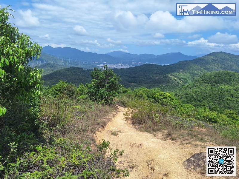
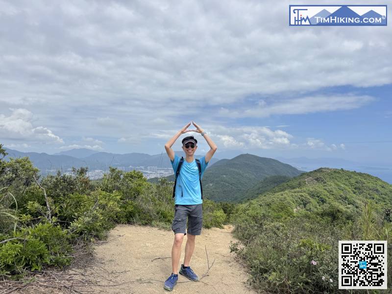
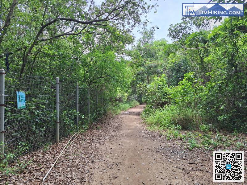
After leaving the rocky ridge,


