


 Recommend YouTube


| View : |  | ||
| Difficulty : |  | ||
| Path : | |||
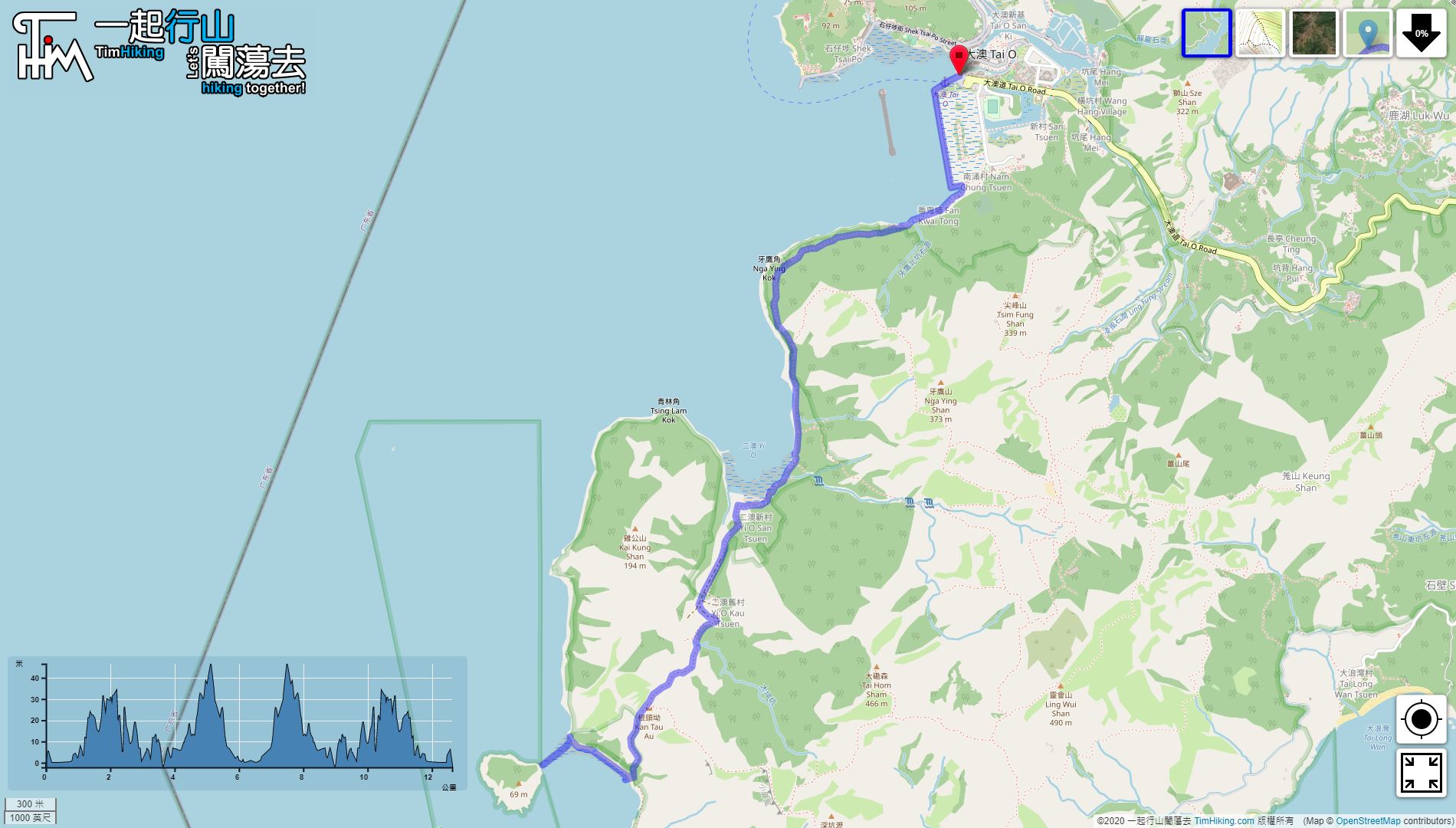
| Length : | 12.7km | ||
| Time : | 4½hours | ||
| 【 Nga Ying Kok Campsite 】 | |||
| Toilet : | Outhouse | ||
| Water : | Stream Water | ||
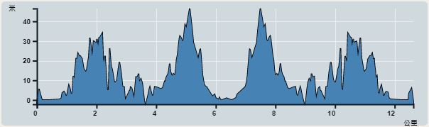 | |
| Ascent : 191m | Descent : 175m |
| Max : 47m | Min : 0m |
| (The accuracy of elevation is +/-30m) | |


 4︰cross the seawall,
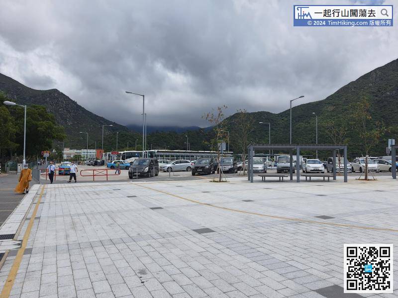
The starting point is Tai O. You can take Lantau Bus 11 at Tung Chung Station,
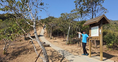
19︰coming to a small mangrove area, 25︰can easily connect to the mountain trail to Fan Lau.
 41︰Slowly walk to Peaked Hill
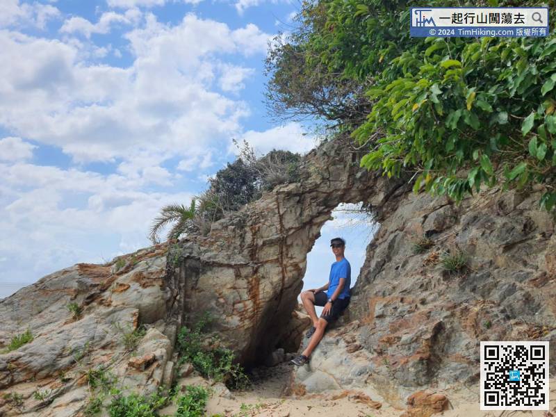
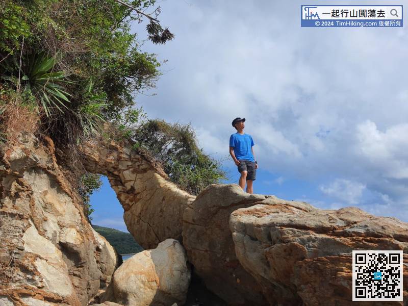
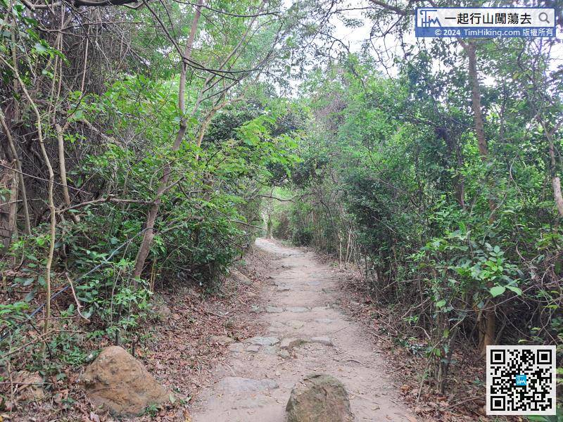 45︰The Mini Elephant Nose Rock is very small, only slightly higher than a person.
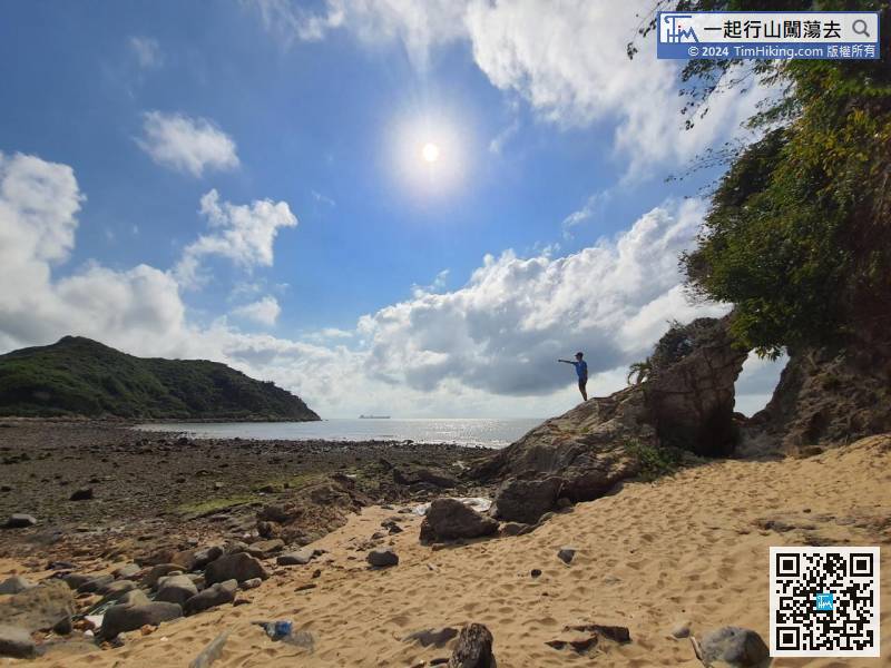
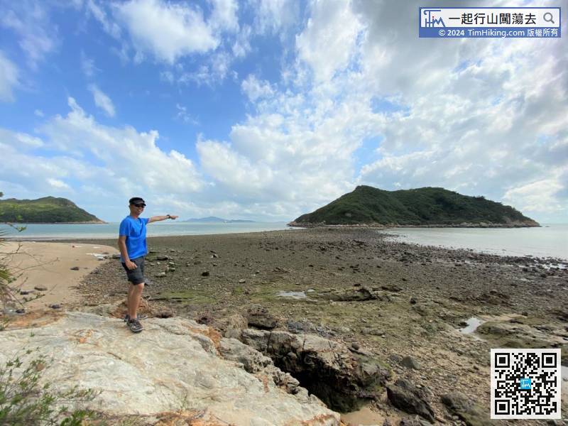
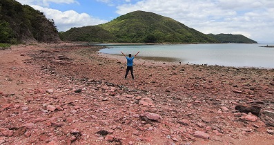
After visiting Peaked Hill, return to Tsin Yue Wan. Elephant Nose Rock is next to the tombolo which is easy to find it.
54︰Follow the direction to the fields,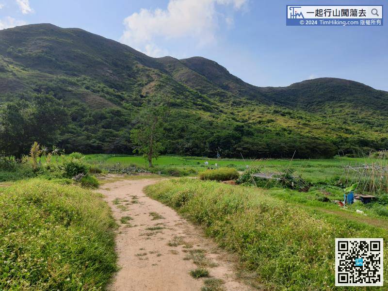


