


 Recommend YouTube


| View : |  | ||
| Difficulty : |  | ||
| Path : | |||
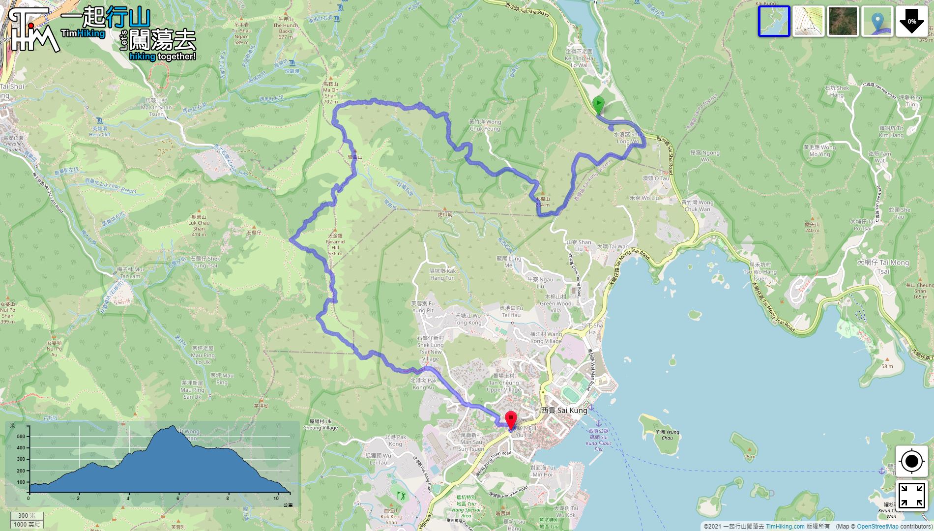
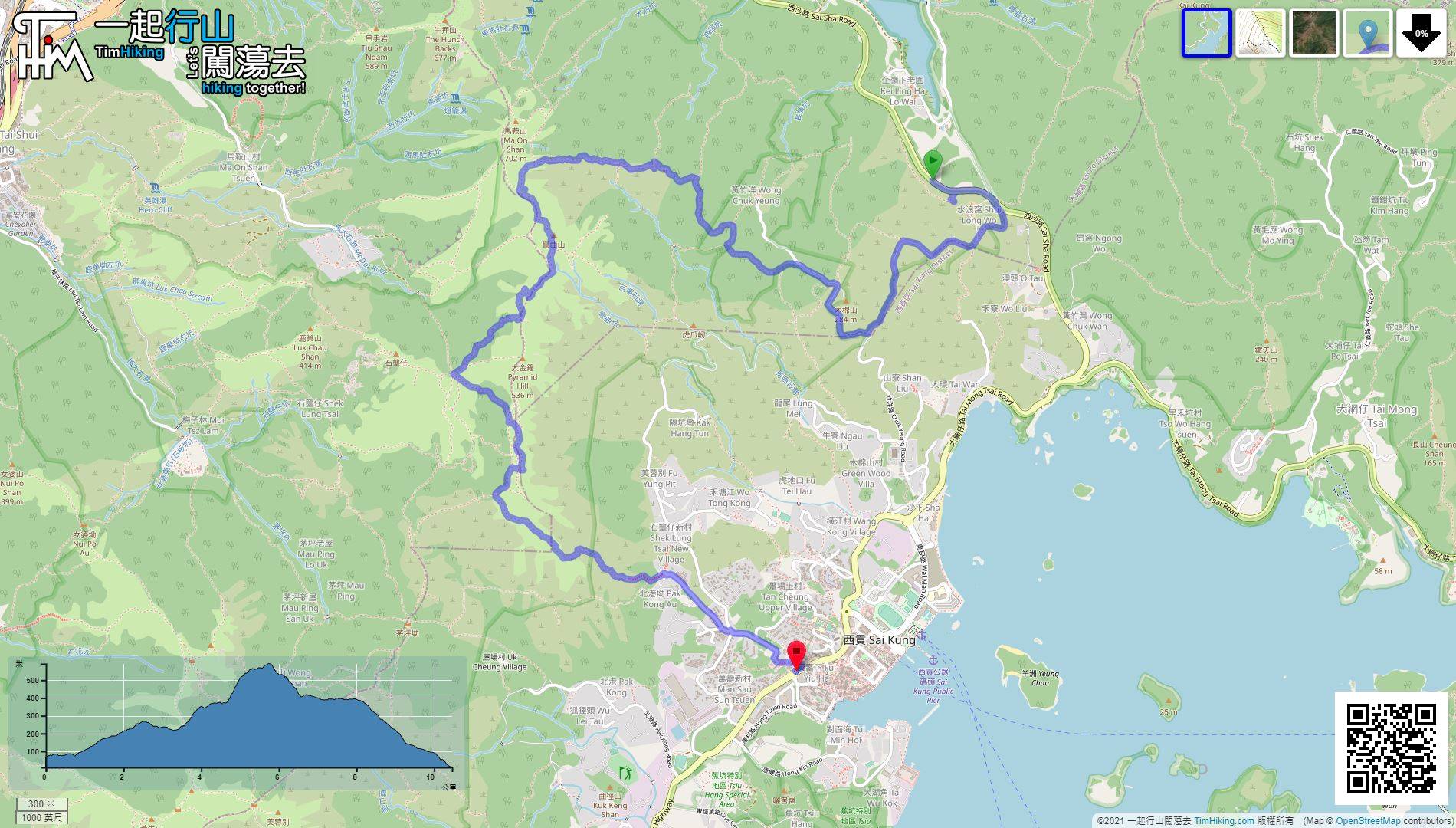
| Length : | 10.4km | ||
| Time : | 4½hours | ||
| 【 Shui Long Wo Campsite 】 | |||
| Toilet : | Outhouse, Portable Toilets | ||
| Water : | Stream Water | ||
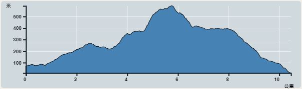 | |
| Ascent : 694m | Descent : 750m |
| Max : 575m | Min : 11m |
| (The accuracy of elevation is +/-30m) | |


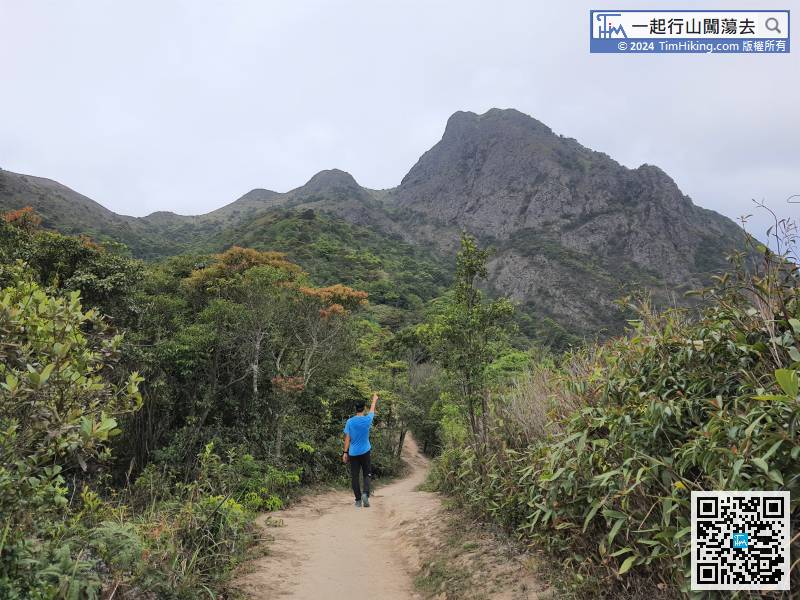
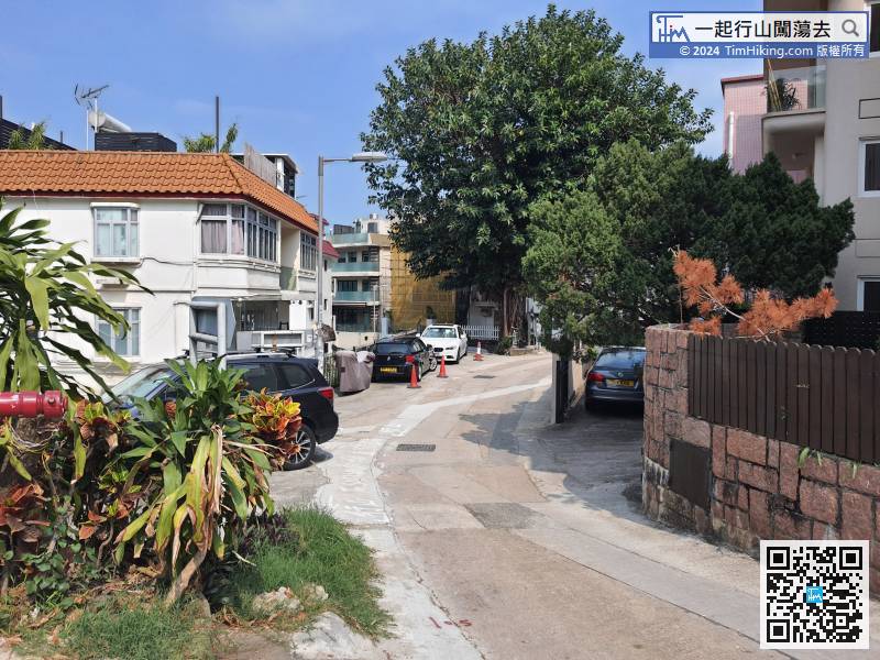
 2︰After getting off, go towards Sai Kung. Keep an eye on the right-hand side, will see the large archway of Shui Long Wo.
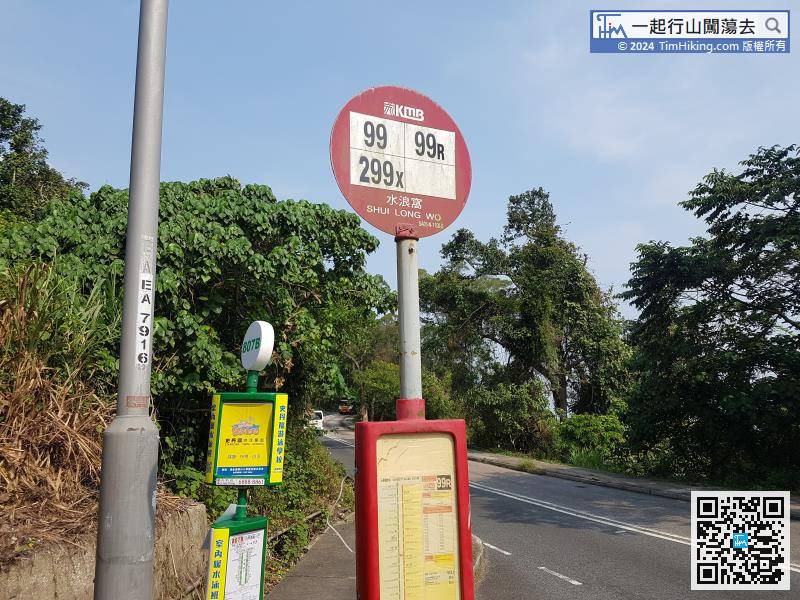
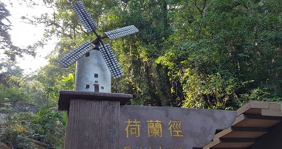
First, go to Shui Long Wo, take the bus at Sai Kung and get off at Shui Long Wo bus stop.
23︰and on the left is Chuk Yeung Road at Sha Ha Beach,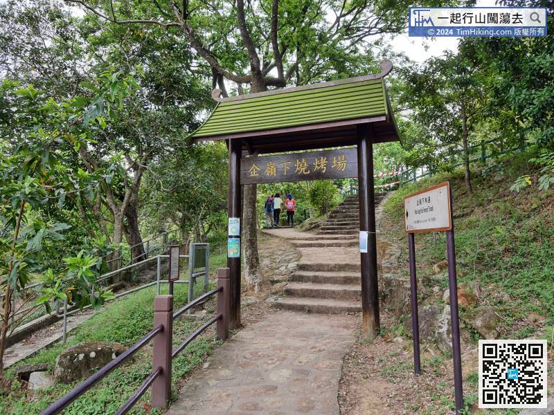 27︰Pay attention to the fork about 250 meters ahead,
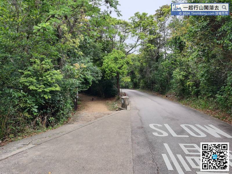 40︰and some are tree root trails.
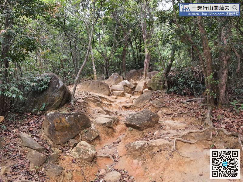 51︰There is a new step on the left to the selfie-shooting platform.
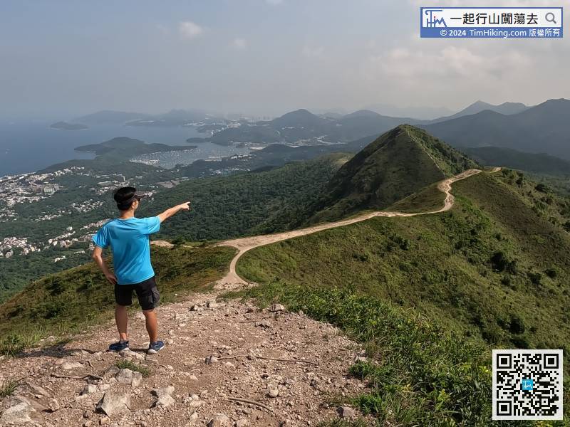
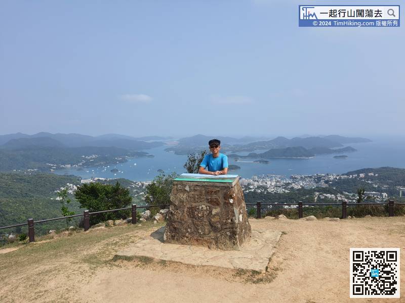
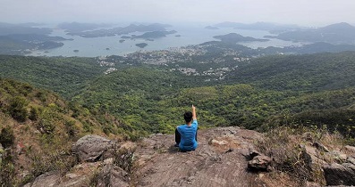
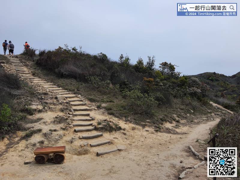 59︰The scenery at the top of Wan Kuk Shan is not the most beautiful. There are small hills next to it, and no curved ridges can be seen.
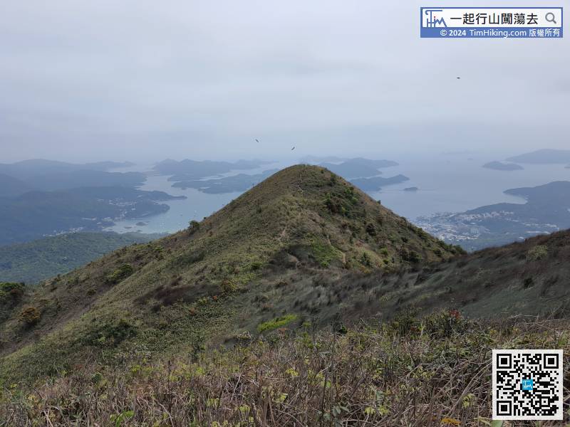
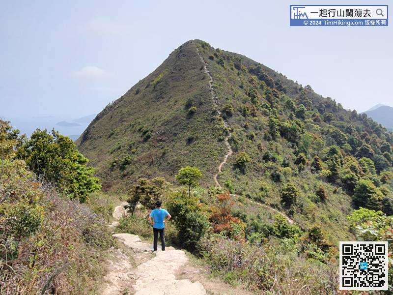
The scenery at the top of Wan Kuk Shan is not the most beautiful. There are small hills next to it, and no curved ridges can be seen.
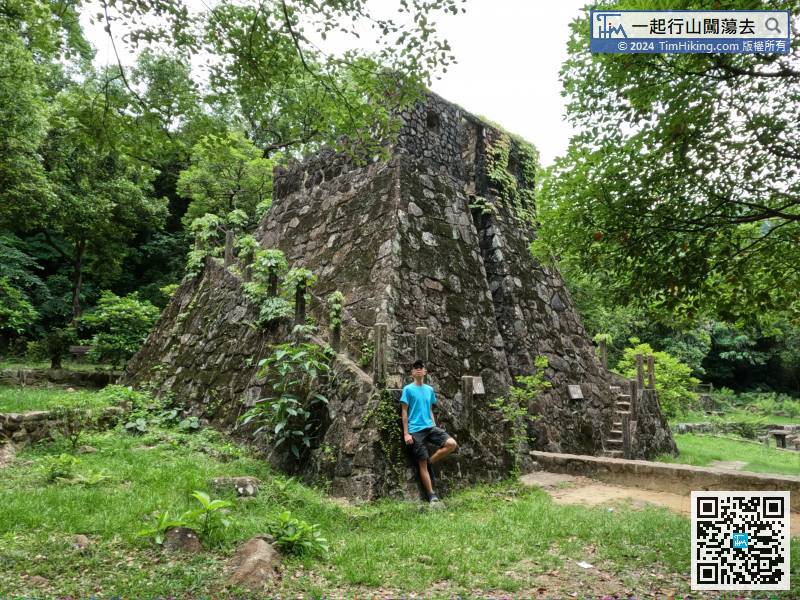
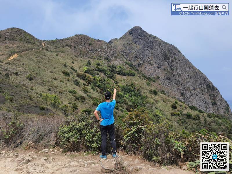
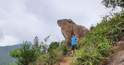
67︰The peak in front is Pyramid Hill,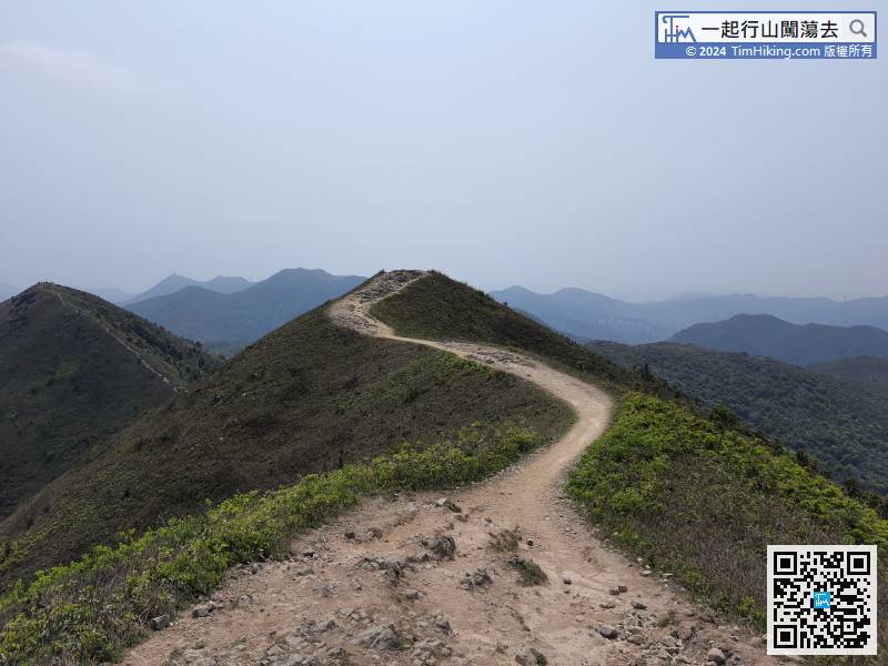
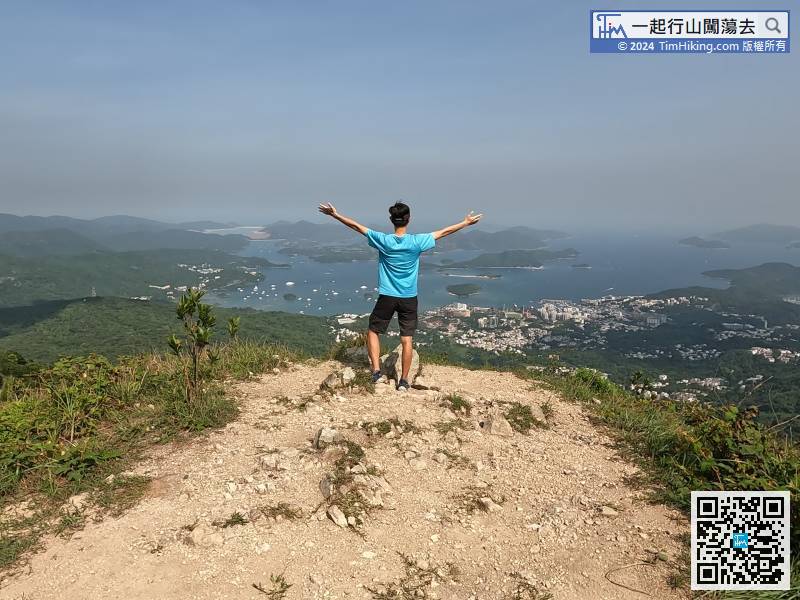
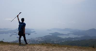
Along the Wan Kuk Shan ridge, just look the beautiful scenery around, and leave gradually.
78︰There are railings on both sides, the main function is to prevent the trail from getting wider and wider.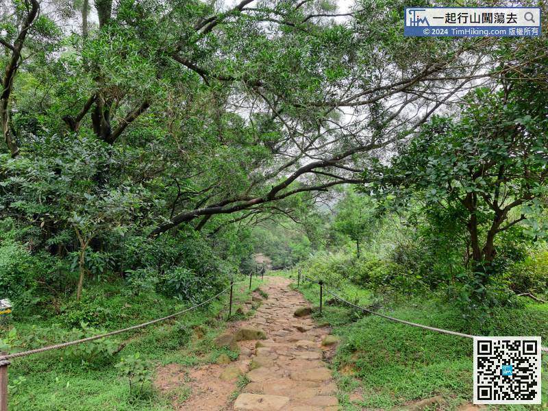
There are railings on both sides, the main function is to prevent the trail from getting wider and wider.
87︰and come to a very important fork. Do not continue straight,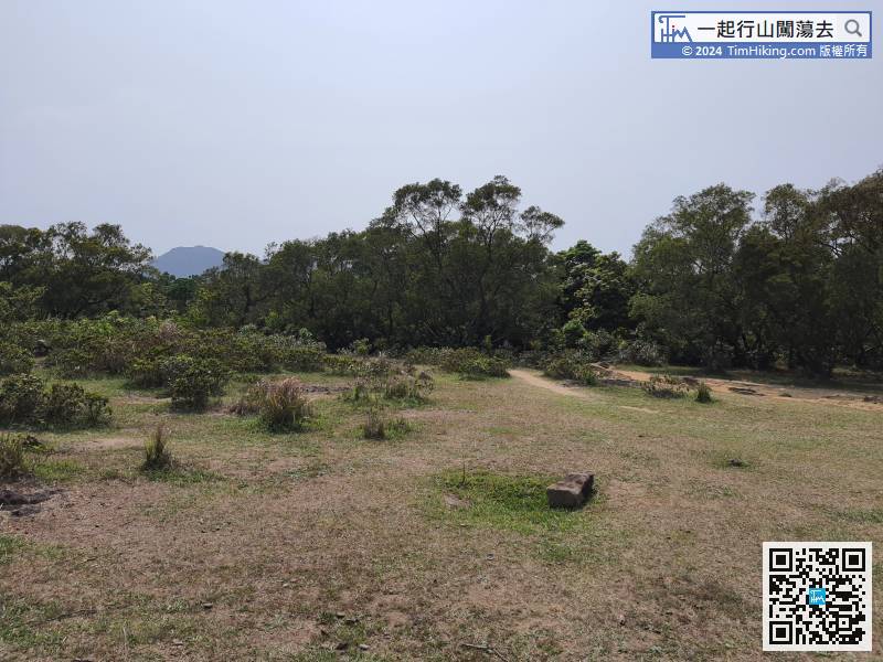
The direction downhill is very clear, and there are signs on the ground.


