


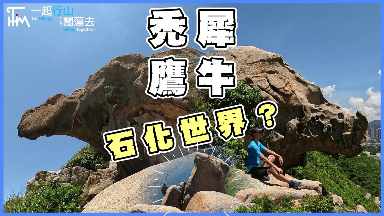
 Recommend YouTube

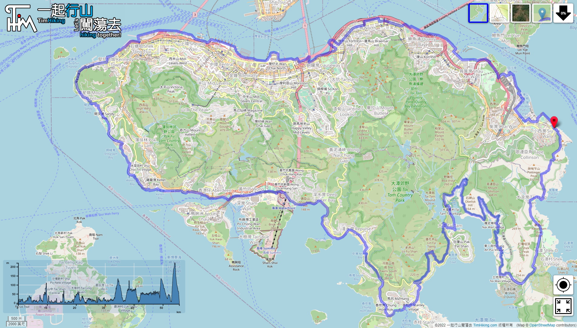

| View : |  | ||
| Difficulty : |  | ||
| Path : | |||
| Length : | 55.7km | ||
| Time : | 15hours | ||
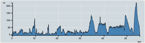 | |
| Ascent : 2,846m | Descent : 2,897m |
| Max : 221m | Min : 0m |
| (The accuracy of elevation is +/-30m) | |


 19︰look for a step next to the aqueduct,
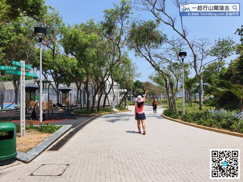
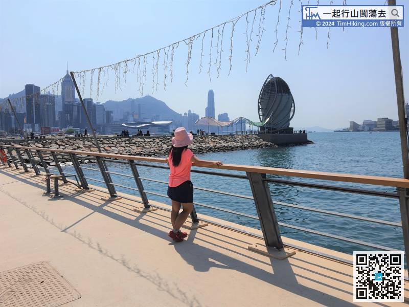
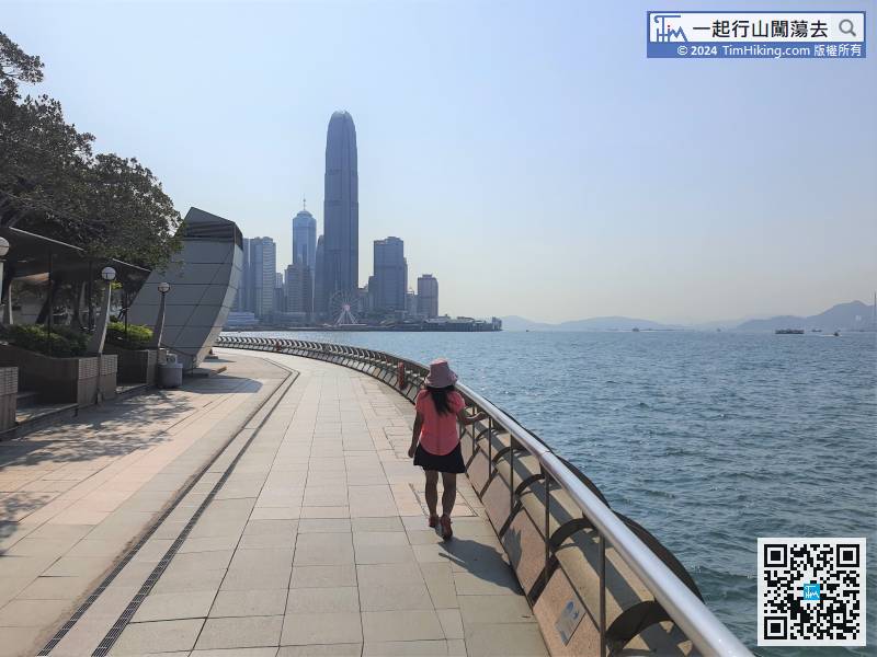
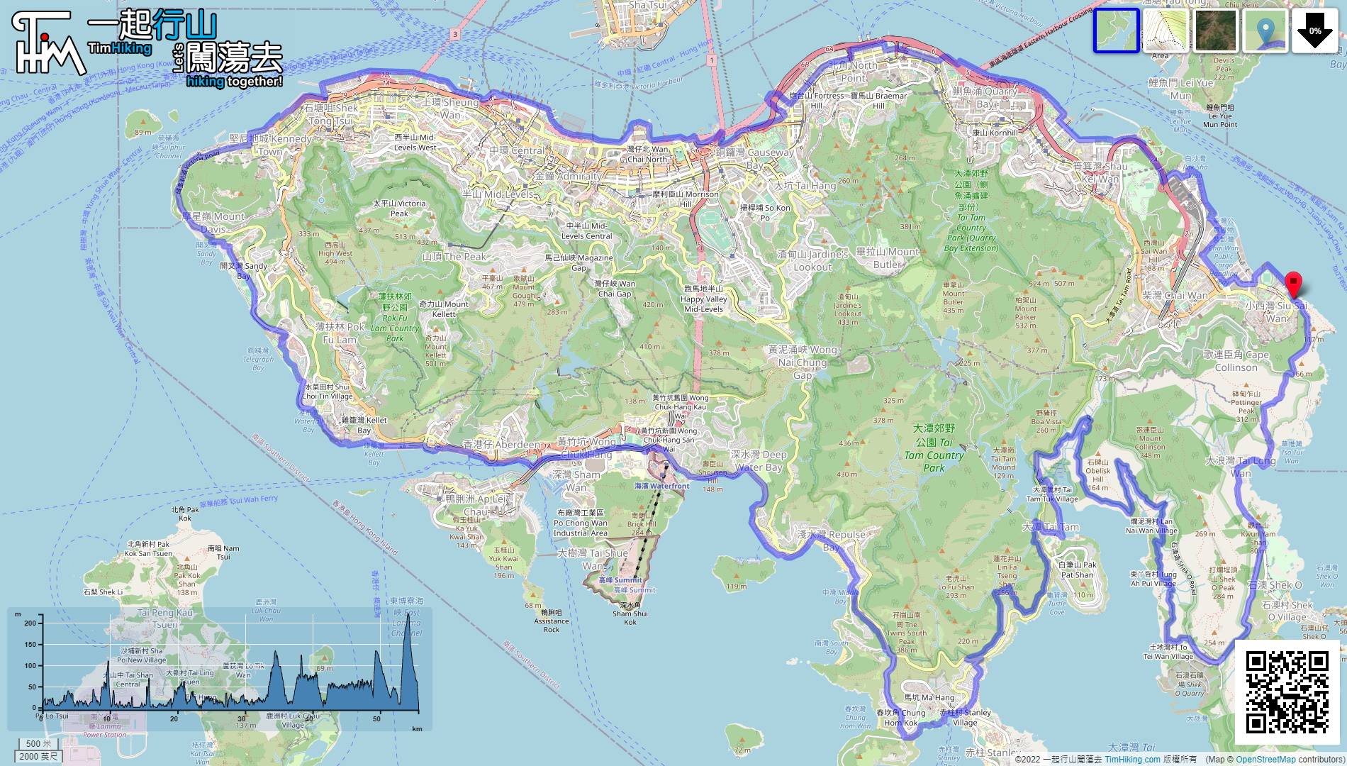
First Section 1, start from Siu Sai Wan, the starting point is at the Siu Sai Wan Promenade, which is the entrance of Leaping Dragon Walk.
40︰East Coast Park has a lot of large-scale decorations. The most striking is of course the 100-meter-long breakwater,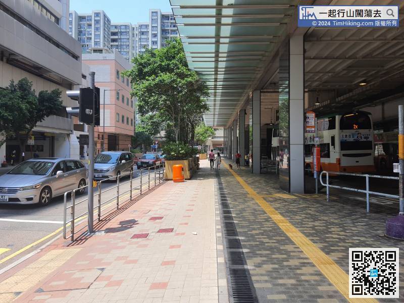
After about 10 minutes, will pass the Grand Promenade Bus Terminus, then turn right onto Tai Hong Street,
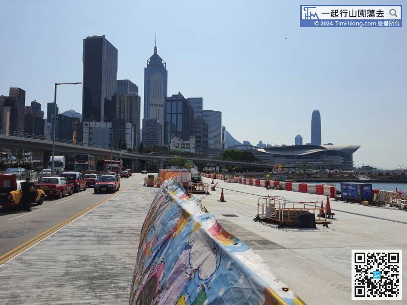
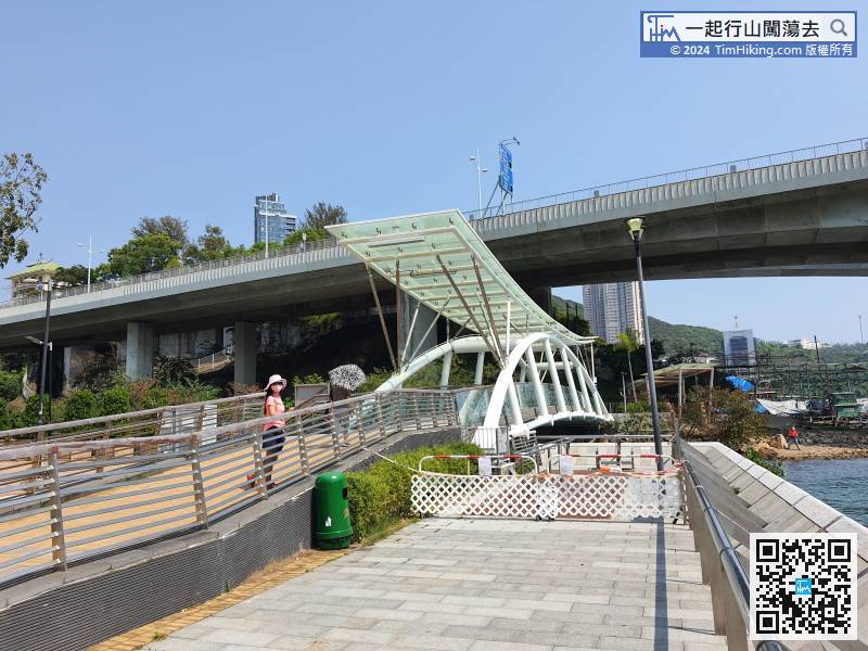
Walk along Hung Hing Road and come to the waterfront park under construction.
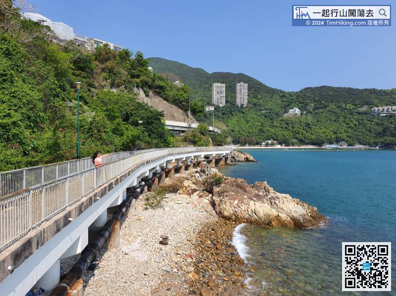
The route of Round Hong Kong Island Section 2 is exactly the route of the Southern District Coastal Trail, which starts at Kennedy Town and ends at Stanley.
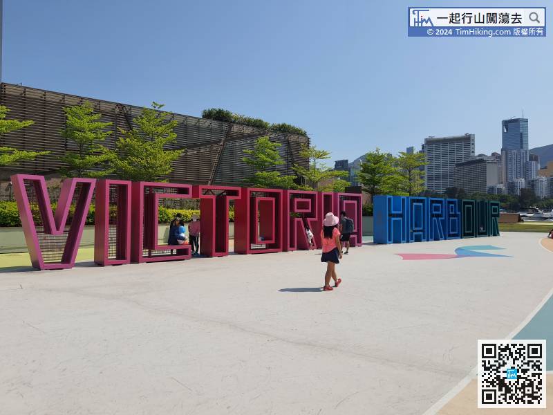
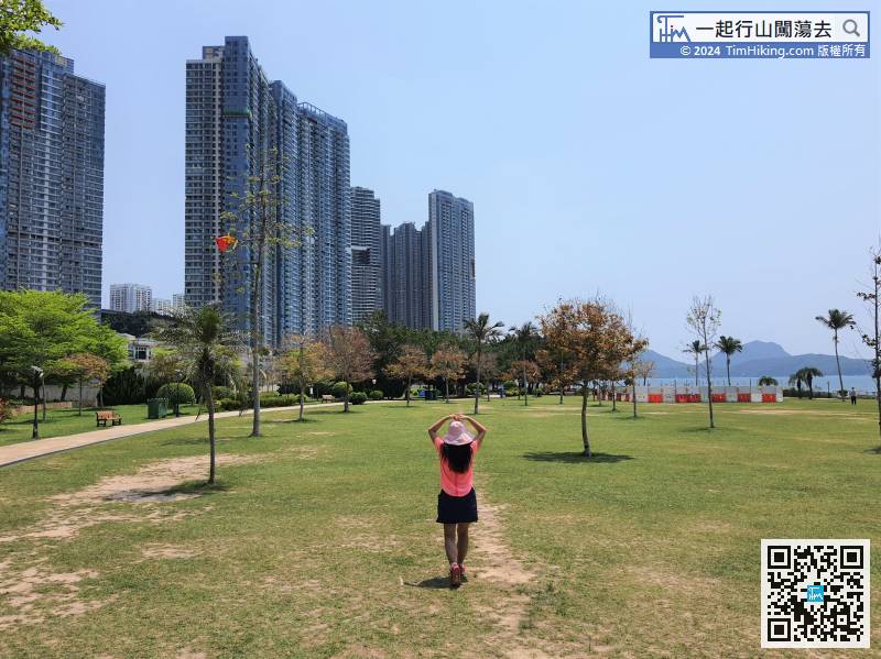
83︰In the waterfront promenade, there is a large grassland inside, the greenery is comparable to Central Park.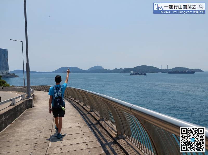
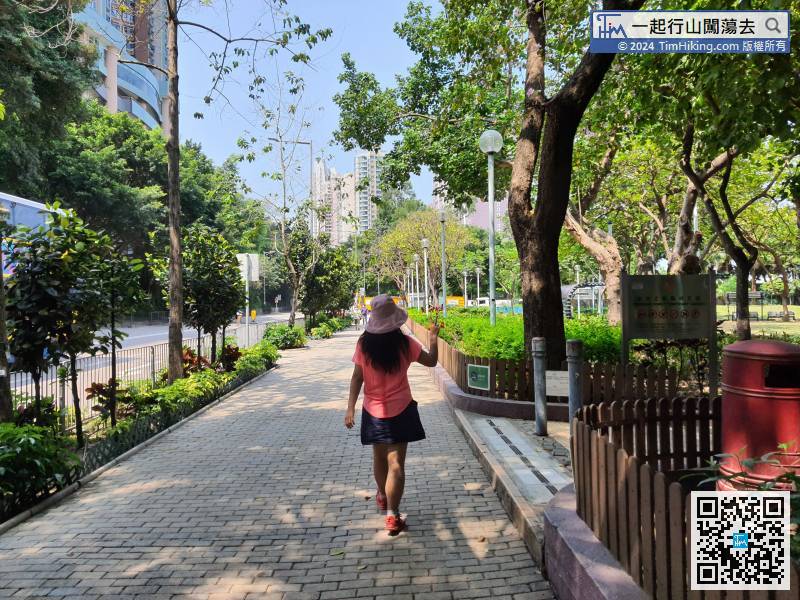
After about 10 minutes, will be back on the shore, and see Residence Bel-Air,
106︰Surprise, Mills & Chung Path is actually a long seaside plank road,
A few moments later, come to Aberdeen. Continue walking along the coast and enter Aberdeen Promenade. The seaside is very long and wide, with drinking machines and public toilets.
127︰go to the bus stop,
Continue on South Bay Road for about 300 meters, follow the steps across the road to the opposite side, and do not go straight ahead. There is a small sign at the intersection that points to Repulse Bay Road.
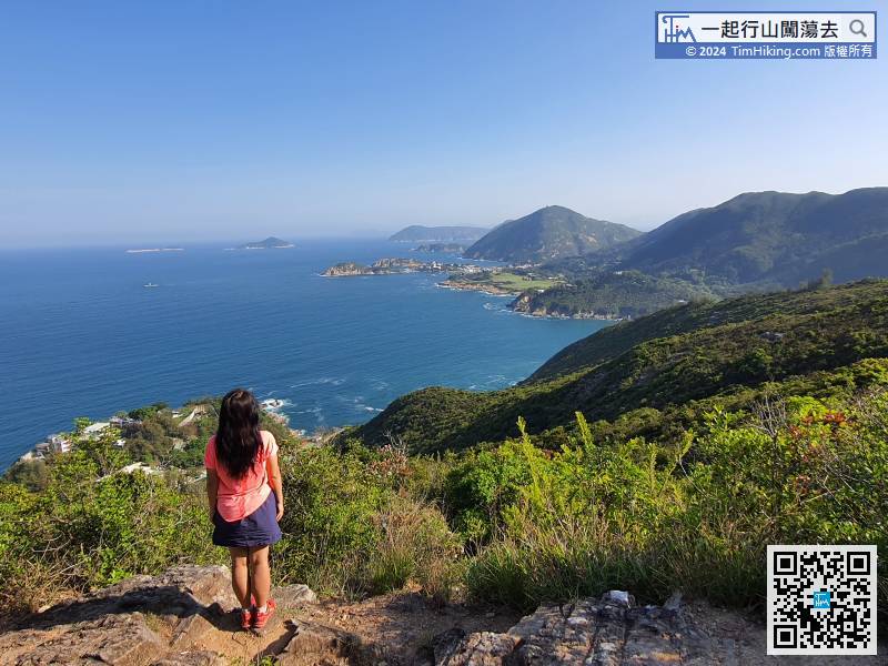
145︰The first catchwater is 3km long, and the scenery is mainly Tai Tam Bay.
The route of Round Hong Kong Island (Section 3) starts from the Stanley Murray House, first walk along the shore,
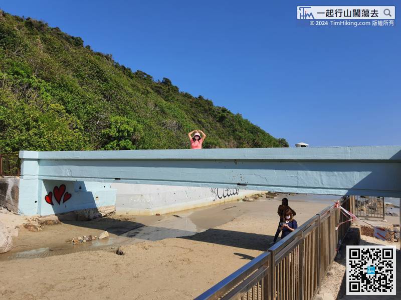
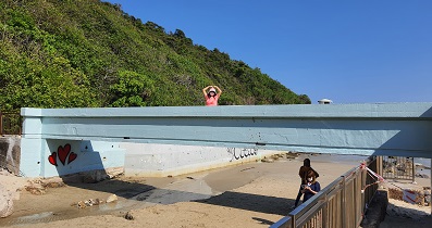
179︰keep left on the beach, and will see a small blue bridge, which is similar to Lovers Bridge.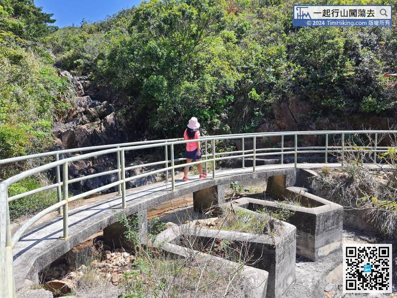
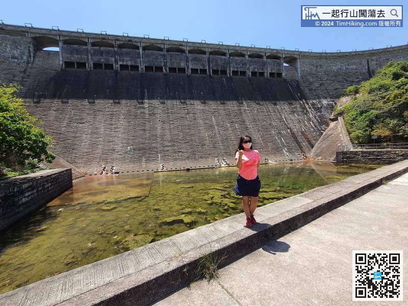
7km is long, the scenery is a bit monotonous, and the spillway has become one of the scenery.
There is only one main path in the middle, and there are also road signs, just keep on the main trail.


