


 YouTube 隨 機 推 介


| 景觀︰ |  | ||
| 難度︰ |  | ||
 (略過分流燈塔) | |||
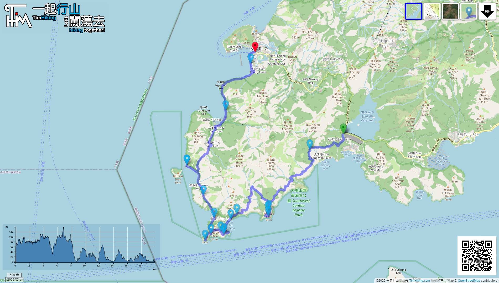
| 路線︰ | |||
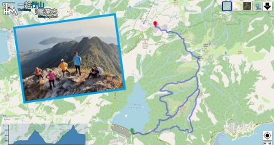
| 全長︰ | 20公里 | 需時︰ | 8小時 |
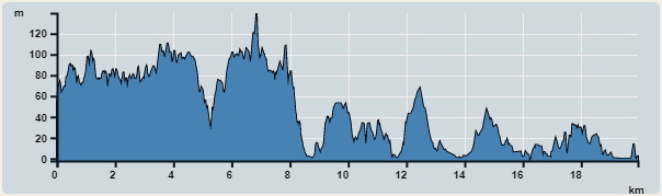 | |
| 攀升︰1,075米 | 下降︰1,116米 |
| 最高︰140米 | 最低︰0米 |
| (海拔高度值只供參考 誤差約是30米內) | |

 東灣士多 西灣士多
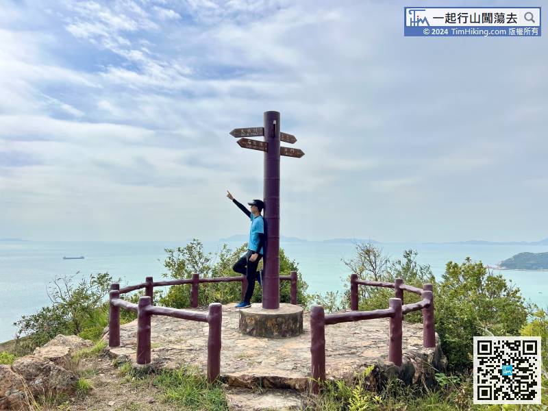
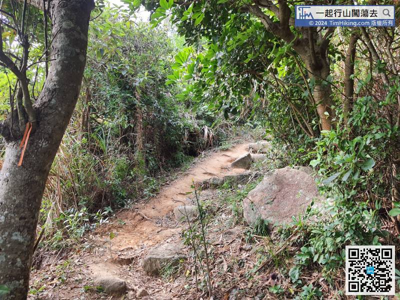
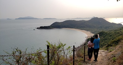
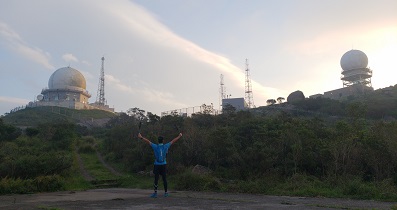
 38︰盡頭就是狗嶺涌觀景台。
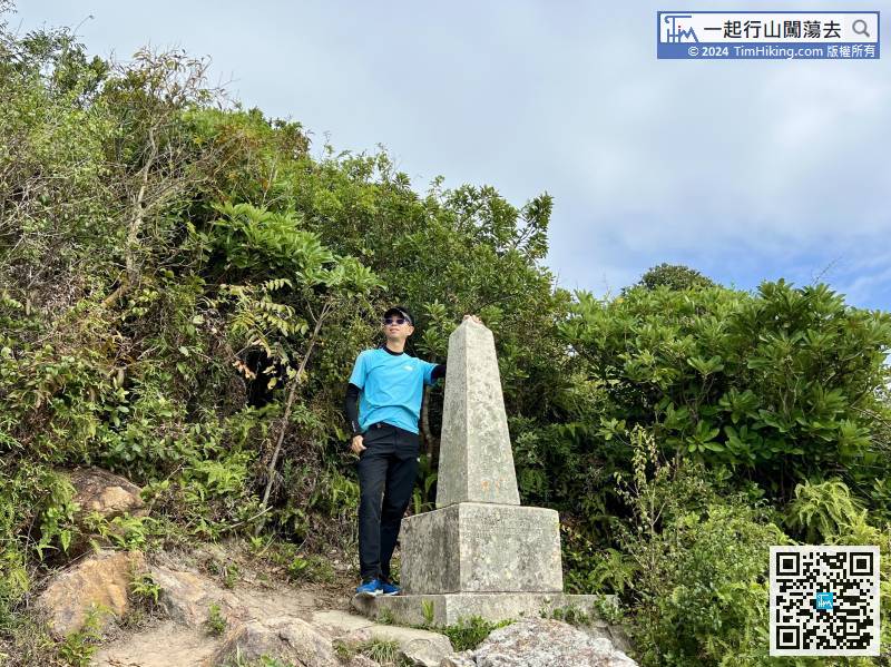
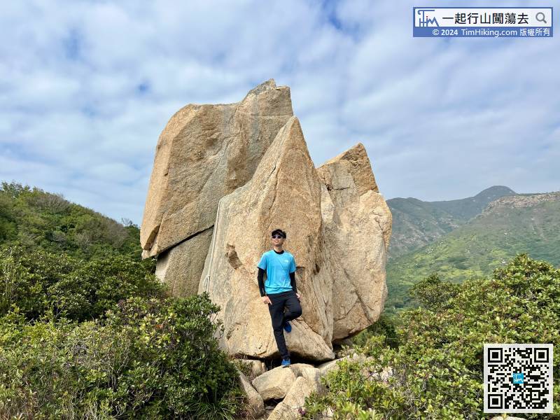
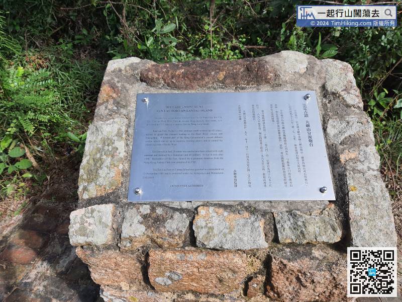
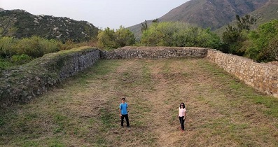
嶼南界碑不太高,只跟一個人高度差不多,是昔日割讓新界土地予英國的界線石碑,其新界範圍包括大嶼山在內,碑文有清晰經緯度,清楚顯示當年新界租借土地的界線。
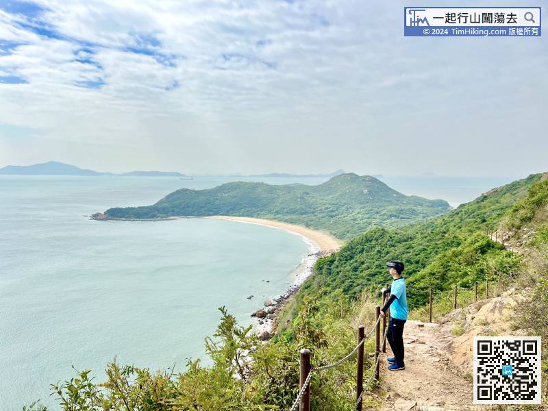
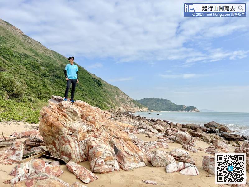
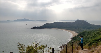
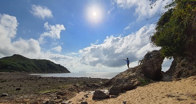
54︰便可望到完美弧形的分流東灣,加上分流的自然景象,泥黃的江水與碧藍的海水會合,實在如詩如畫。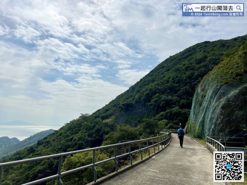
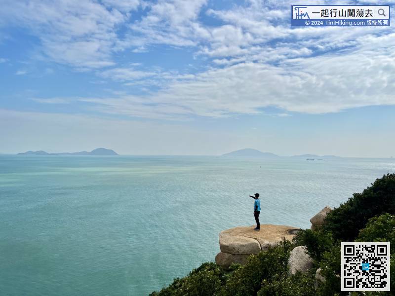
 93︰去到盡頭就會見到分流燈塔,燈塔非常靚,
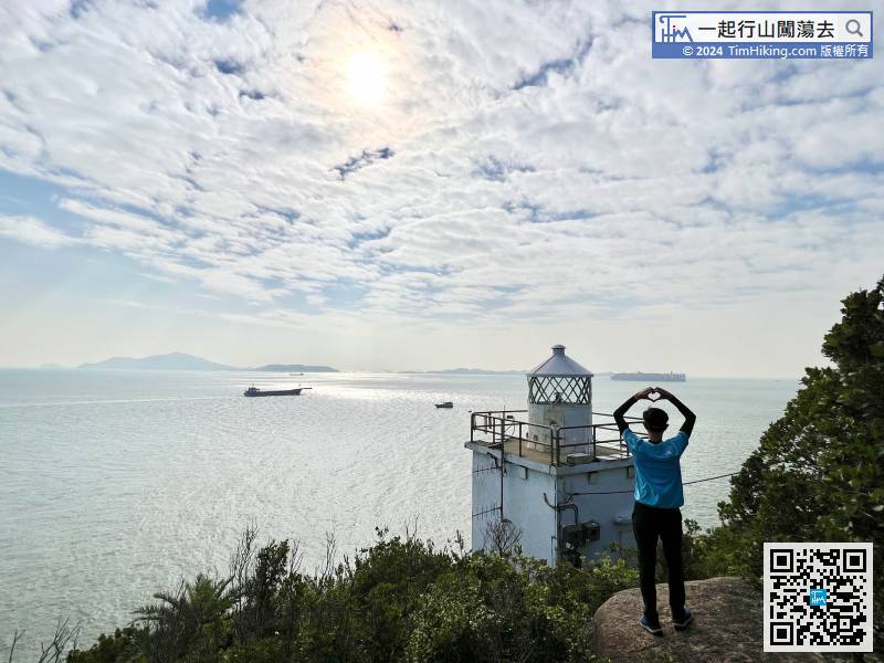
回到出煎魚灣的路口,


