


 Recommend YouTube

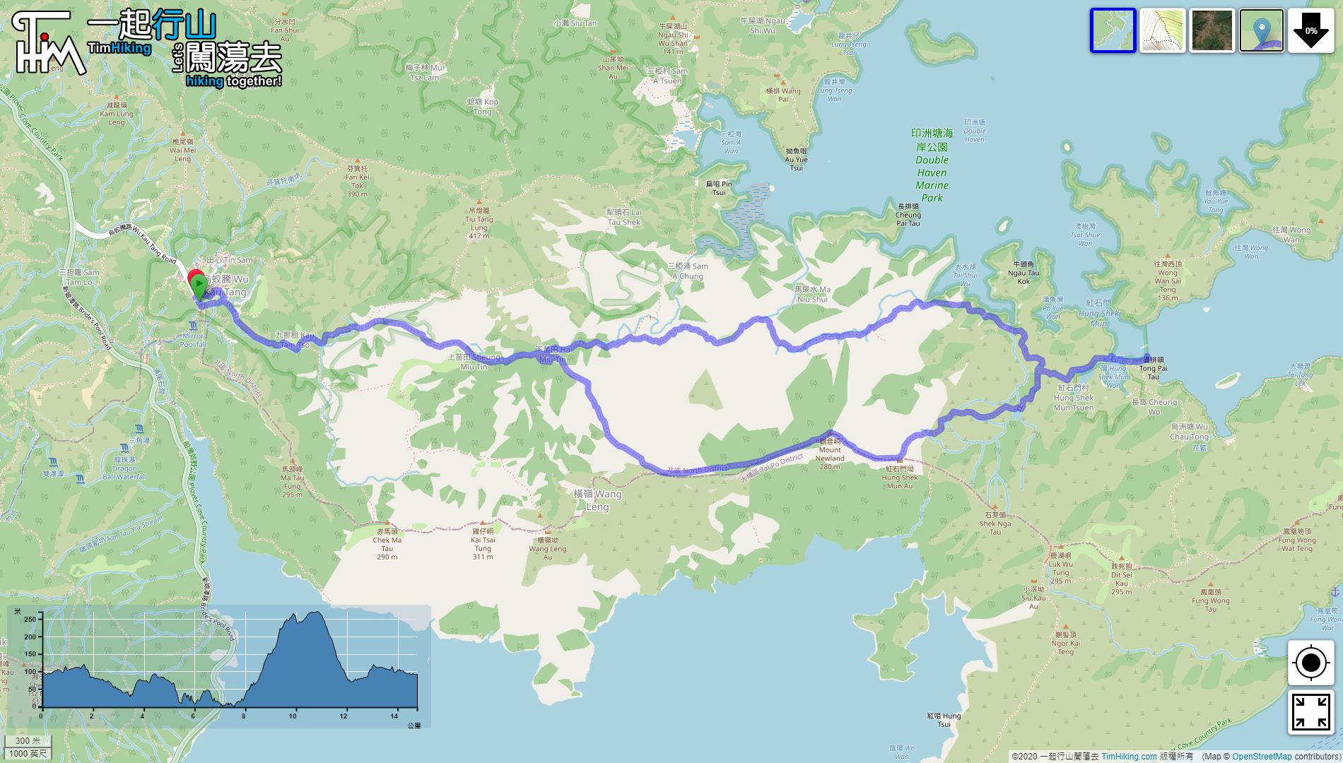

| View : |  | ||
| Difficulty : |  | ||
| Path : | |||
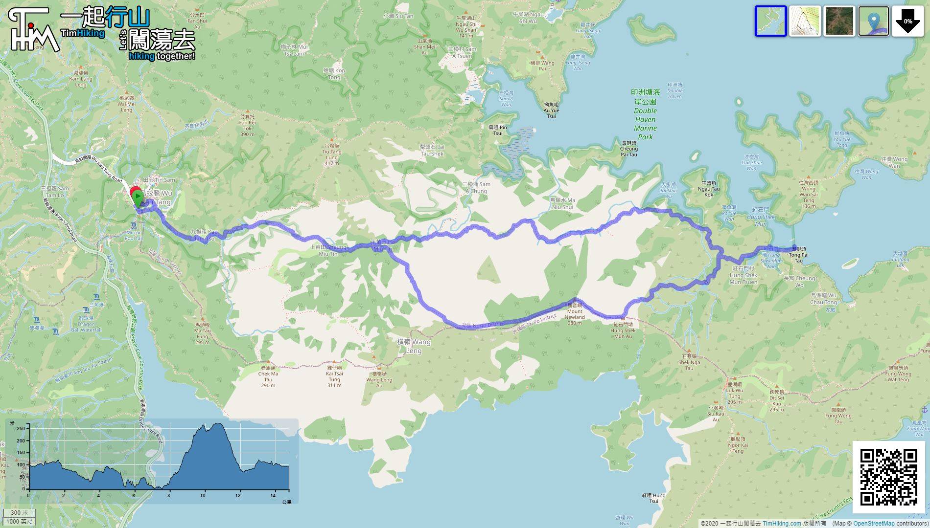
| Length : | 14.9km | ||
| Time : | 8hours | ||
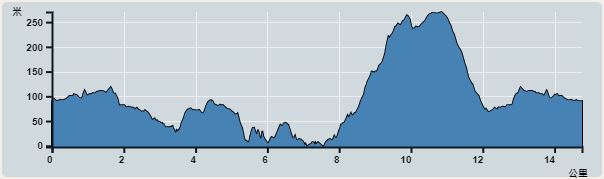 | |
| Ascent : 458m | Descent : 454m |
| Max : 270m | Min : 0m |
| (The accuracy of elevation is +/-30m) | |


 7︰Just walk a while, will see the Giant Autumn Maple Tree in Kau Tam Tso.
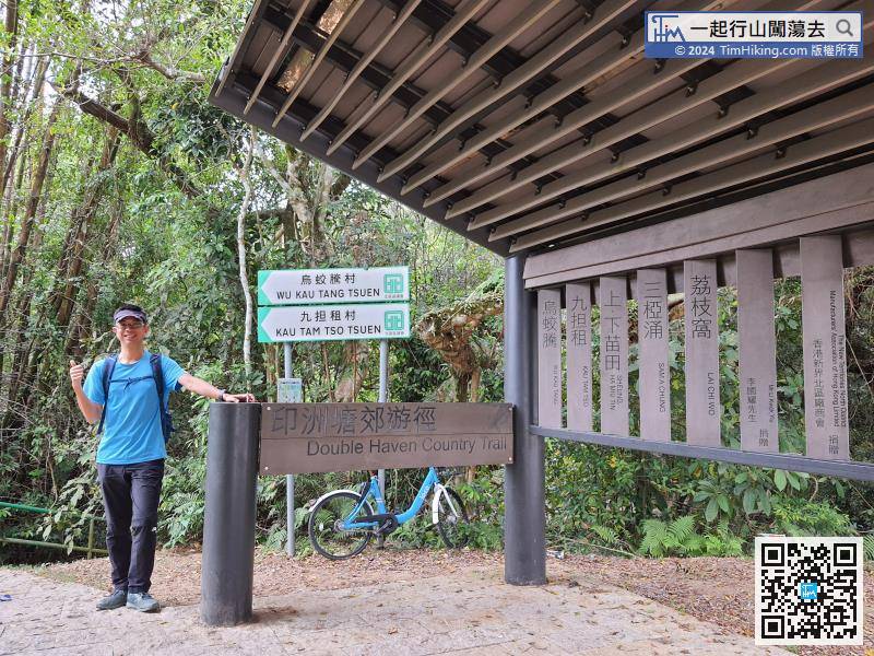
After alighting at the end of Wu Kau Teng Road, there is a parking lot next to the big pavilion of Yin Chau Tong Country Trail.
25︰with a big stream next to it.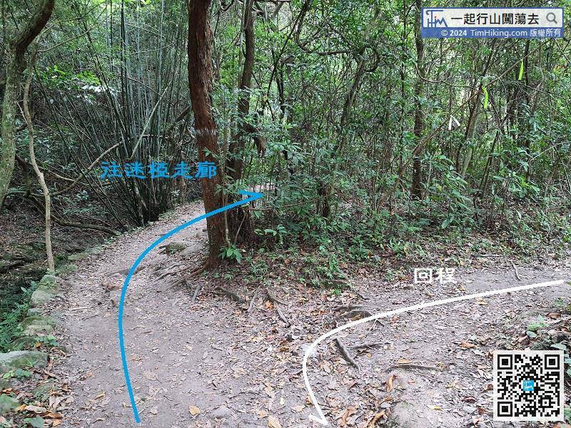
Follow is a very obvious bifurcation, but there is no sign. Walk along the stream on the left to Sam A Chung,
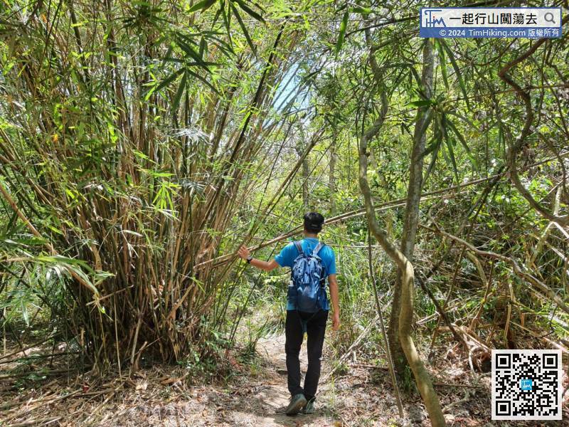
43︰after passing through a part of the bamboo forest,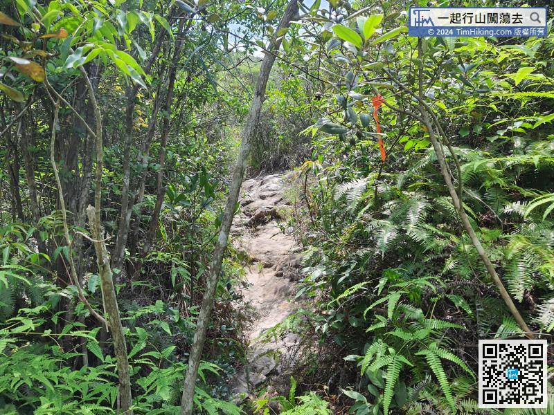
Coming to the trail with a ribbon on the other side,
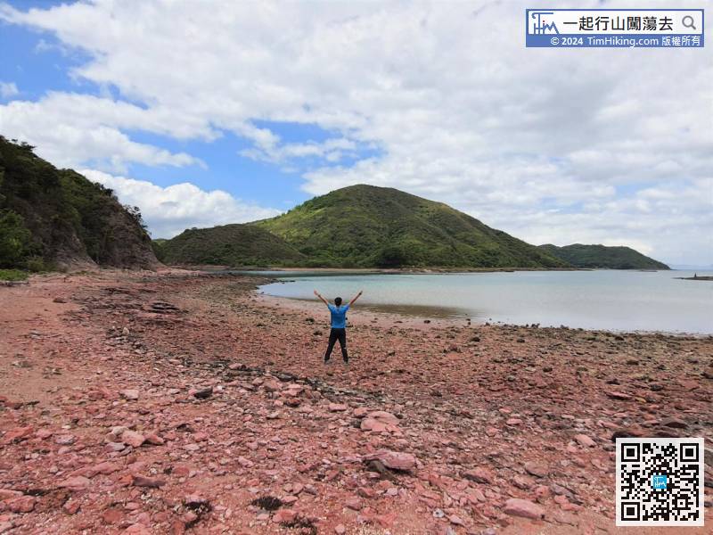
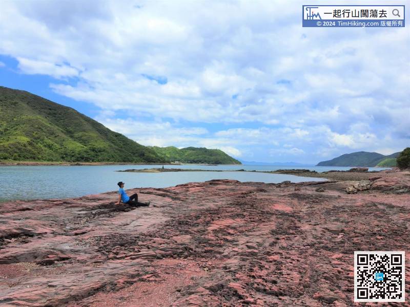
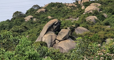
58︰This is the best section of Mi A Lost Trail. The red coast is really eye-catching. Go to the next point.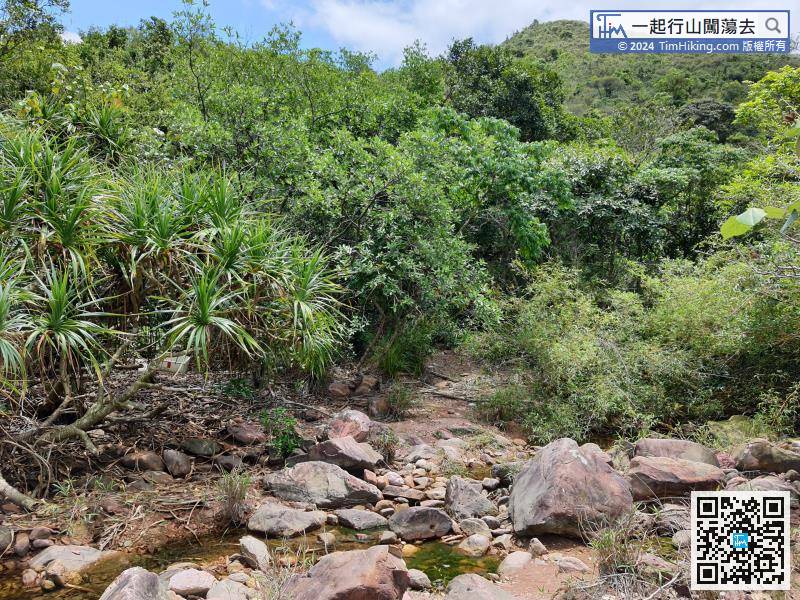
Crossing the river to the place where there is a ribbon on the opposite side.
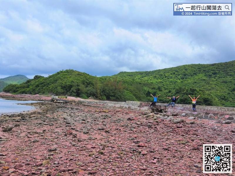
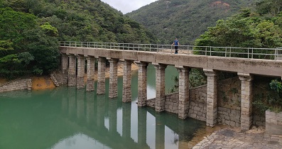
78︰Walking around and crossing the broken embankment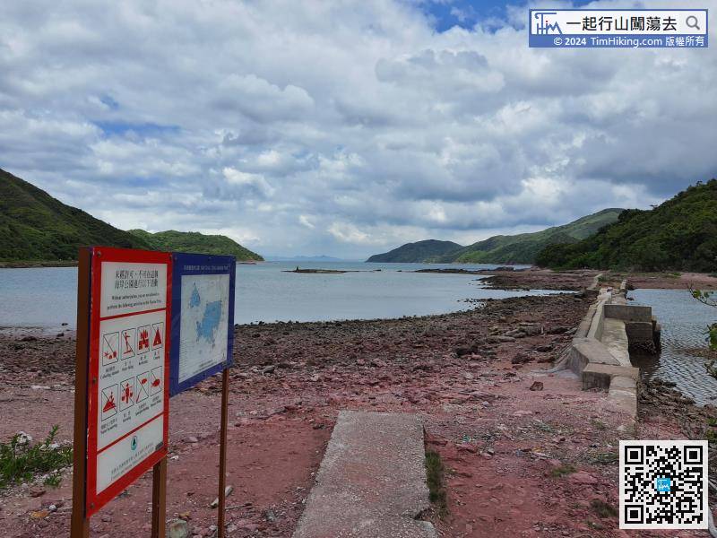
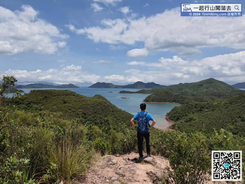
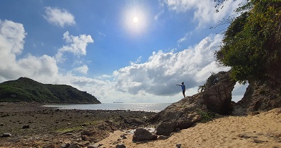
After several efforts, climbing and wading through the water, finally come to Hung Shek Mun. It takes about 3.5 hours to come via Mi A Lost Trail.
101︰and go straight for about 1 km to Tai Tung.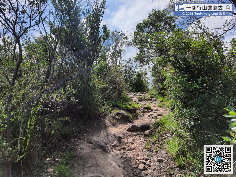
Take a short break, and then go right.


