


 Recommend YouTube


| View : |  | ||
| Difficulty : |  | ||
| Path : | |||
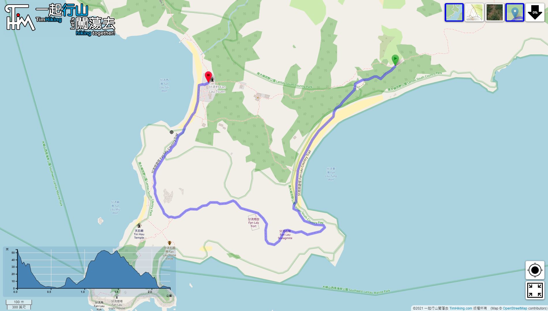
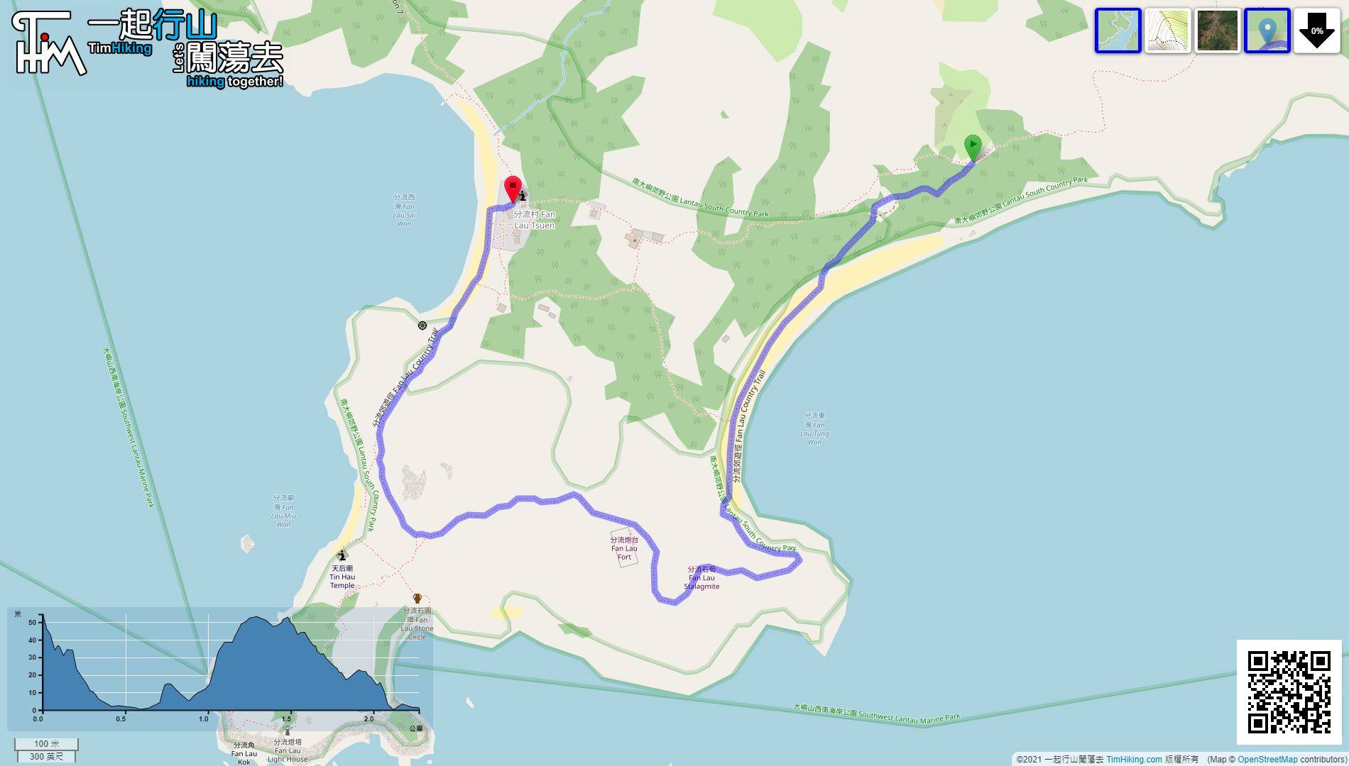
| Length : | 2.3km | ||
| Time : | 1hours | ||
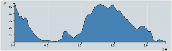 | |
| Ascent : 80m | Descent : 145m |
| Max : 55m | Min : 0m |
| (The accuracy of elevation is +/-30m) | |


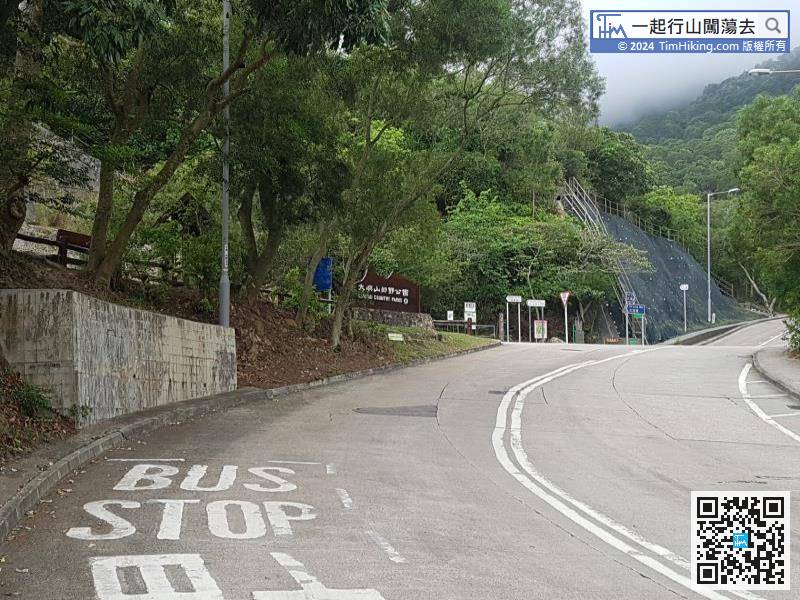
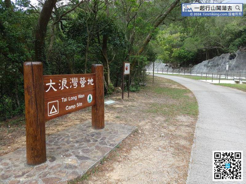
The nearest transport of the starting point is at Shek Pik. You can take Lantau Bus 11 or 23 from Tung Chung and get off at Sha Tsui bus stop.
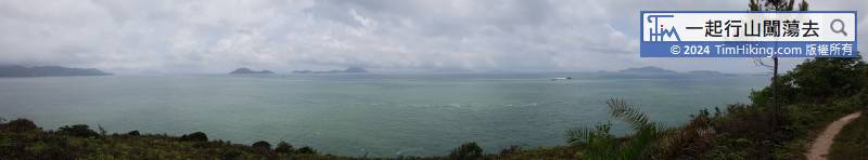
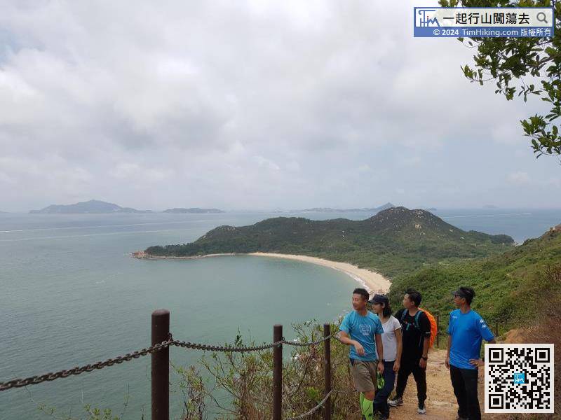
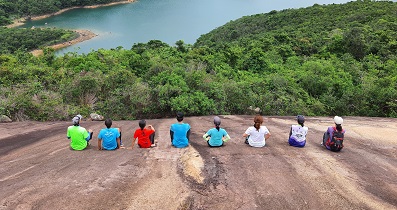
 16︰can see the curved Fan Lau Tung Wan, plus the natural scene of the Fan Lau made everyone intoxicated.
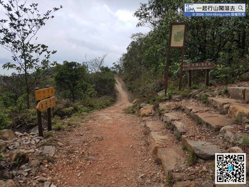
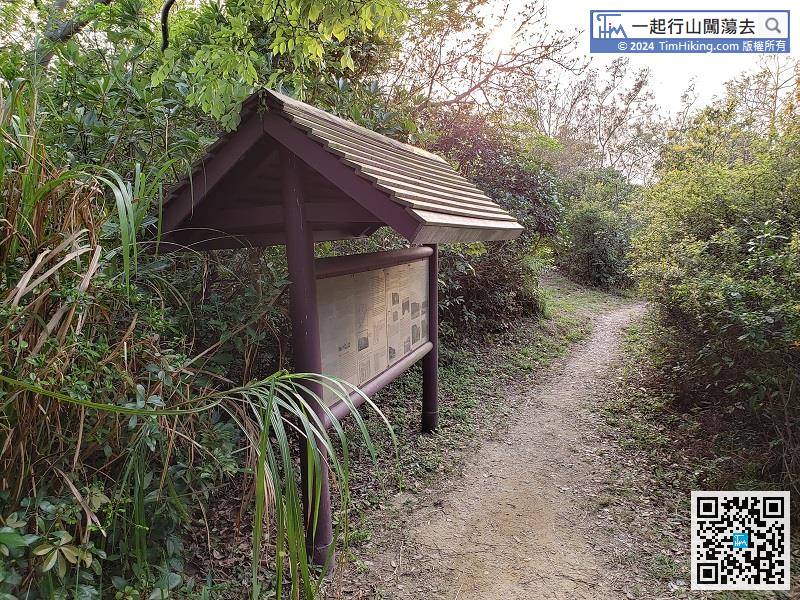
The coming mountain trail is no longer a concrete road. The signs are still very clear. Just follow the direction to Fan Lau.
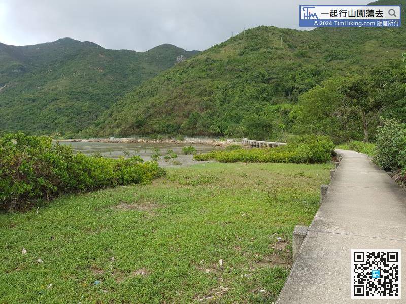
22︰Pass through Fan Lau Tung Wan,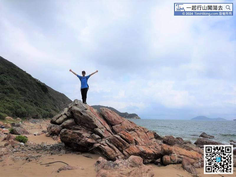
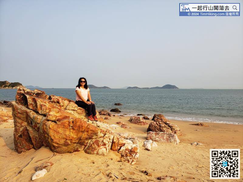
On the left side of the beach, there are a bunch of huge boulders with a special shape.
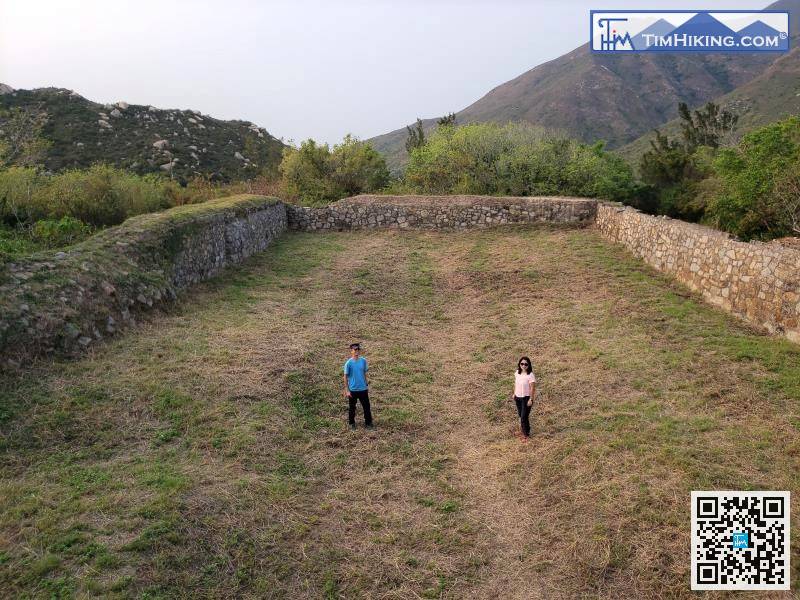
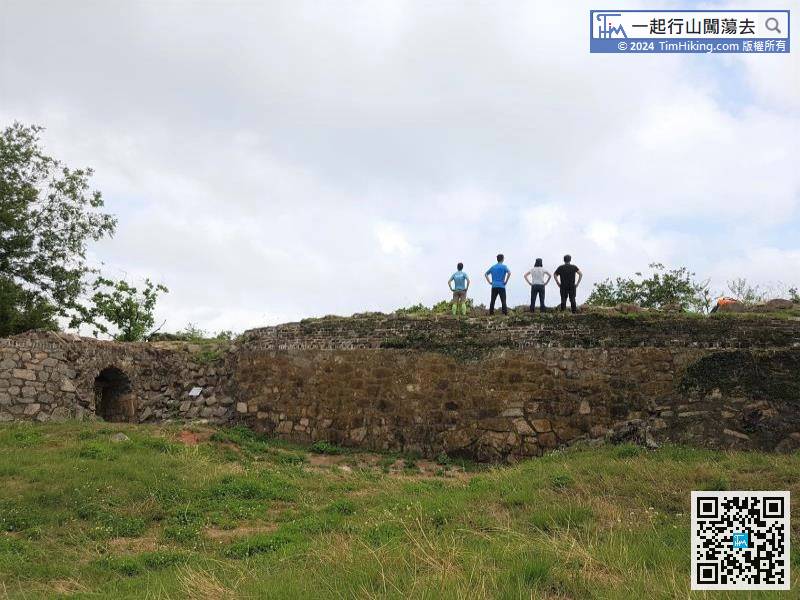
30︰The area of the fort is quite large, with more than 10,000 square feet.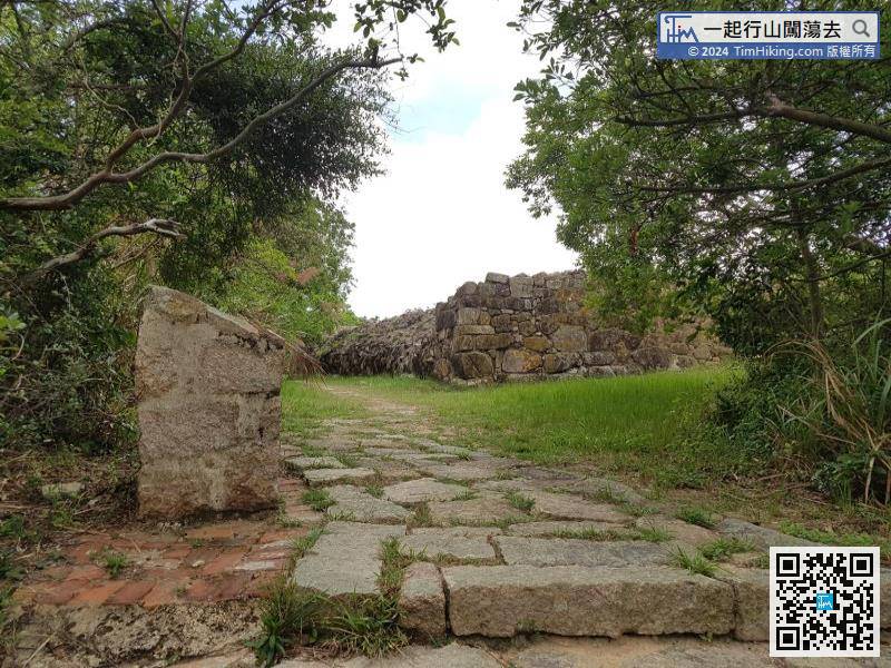
Fan Lau Fort, also known as Peaked Hill Fort and Stalagmite Fort, is located on the high ground 70 meters in the Fan Lau Peninsula.
 37︰and follow the trail until reaching the beach.
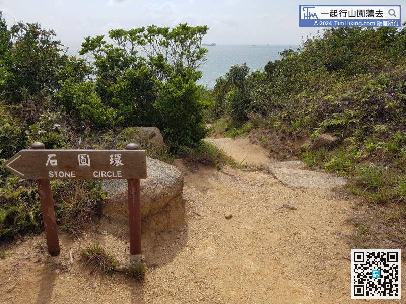 49︰Walk from the old village to the new village,
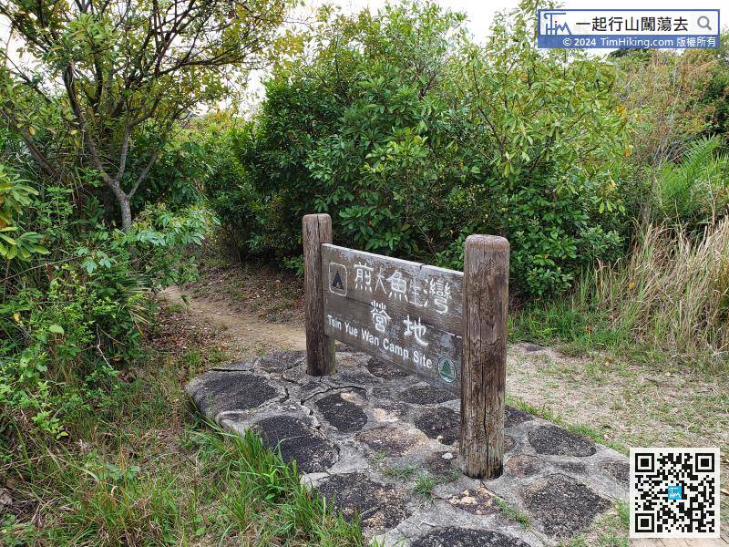


