


 Recommend YouTube


| View : |  | ||
| Difficulty : |  | ||
| Path : | |||
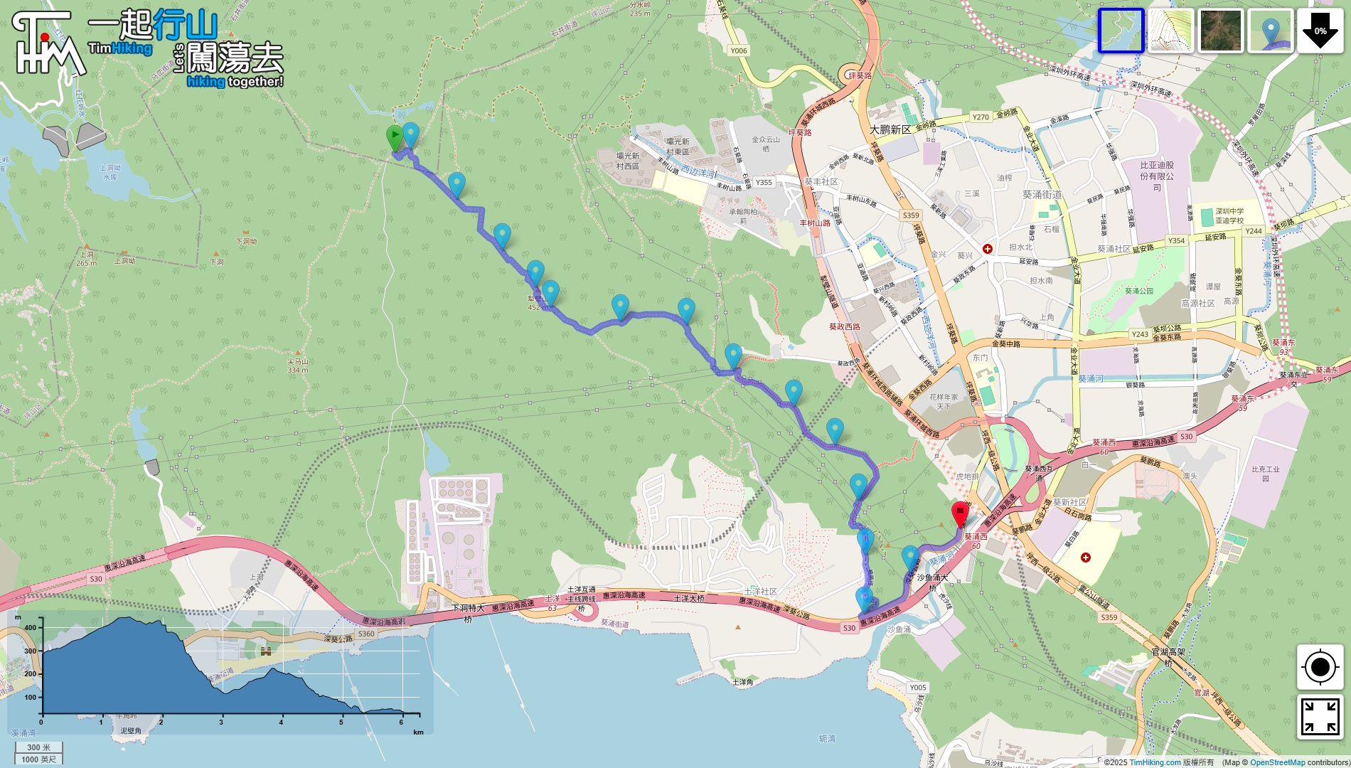
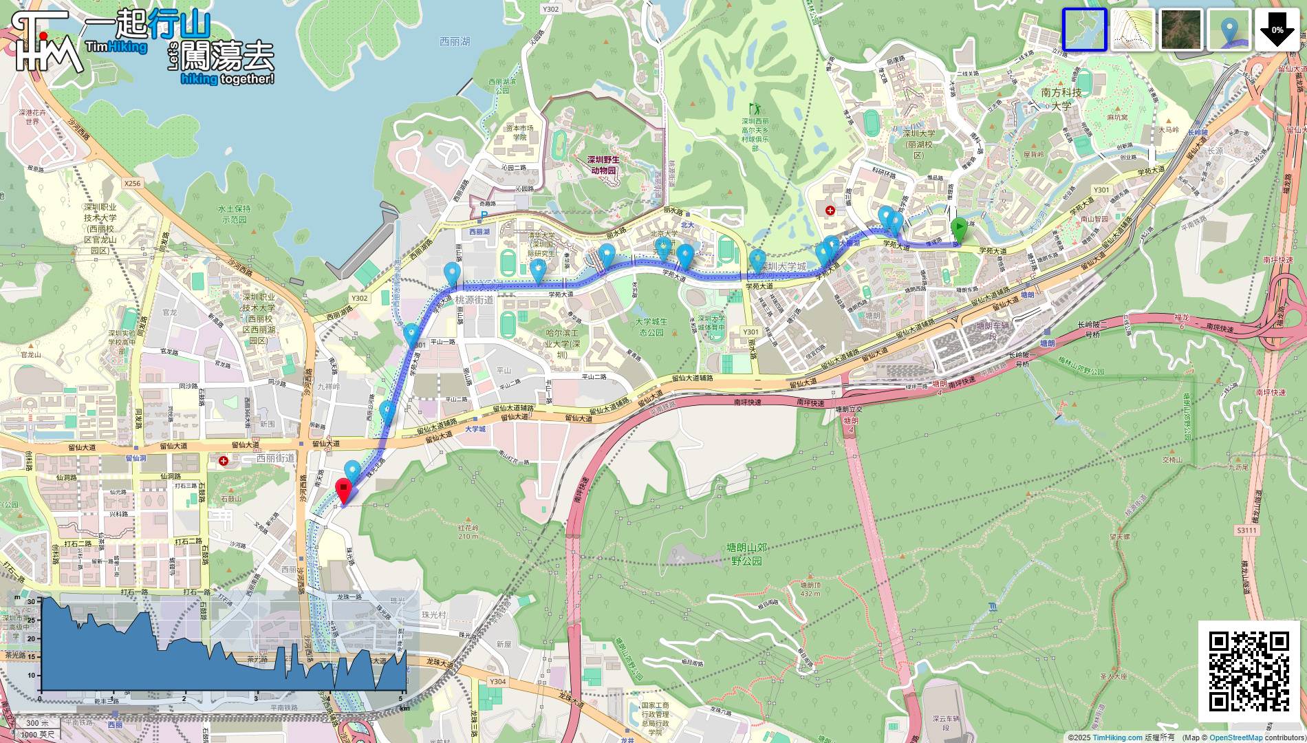
| Length : | 6.8km | ||
| Time : | 4hours | ||
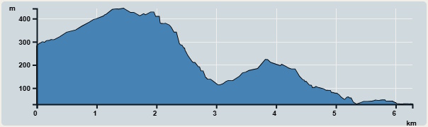 | |
| Ascent : 414m | Descent : 505m |
| Max : 444m | Min : 30m |
| (The accuracy of elevation is +/-30m) | |

 自助掃碼擺賣
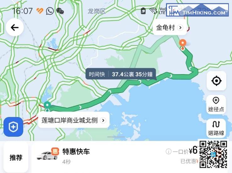
If you are not walking together with the 14th section, hikers will have to take a taxi to 'Jingui Village(金龜村)' first,
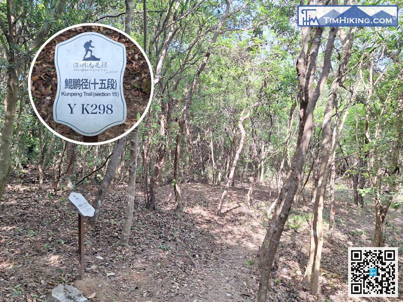
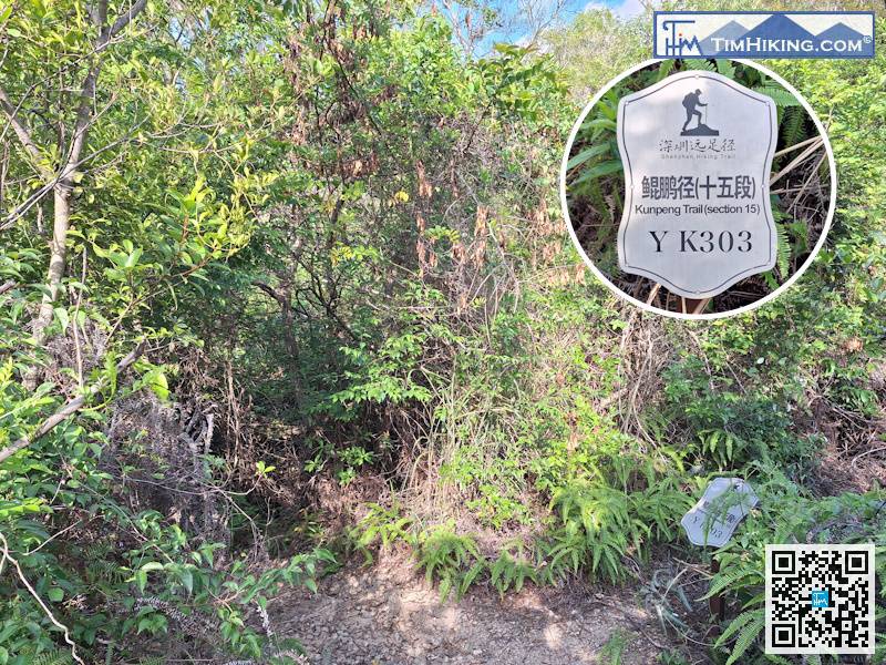
There is a distance post every 500 meters. The number of this one is YK298.
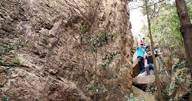
Go to the next fork in the road and keep left to go down the mountain.
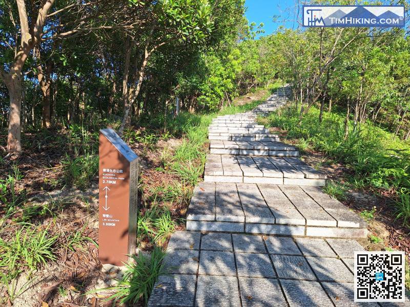
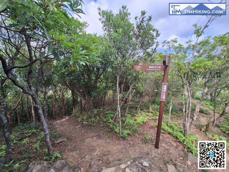
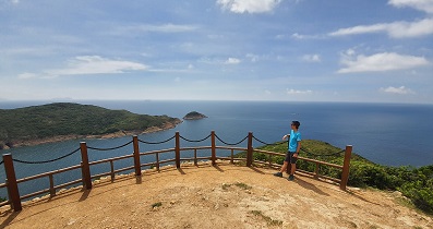
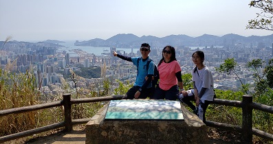
Entering the last 2.7 kilometers,


