


 Recommend YouTube


| View : |  | ||
| Difficulty : |  | ||
| Path : | |||
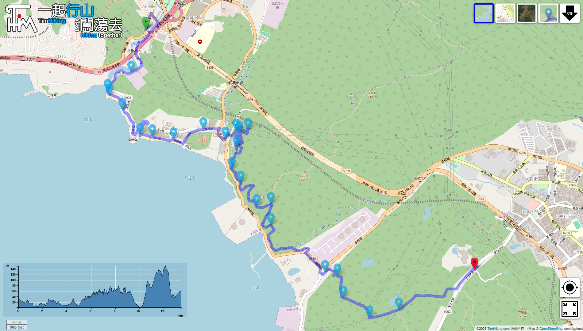
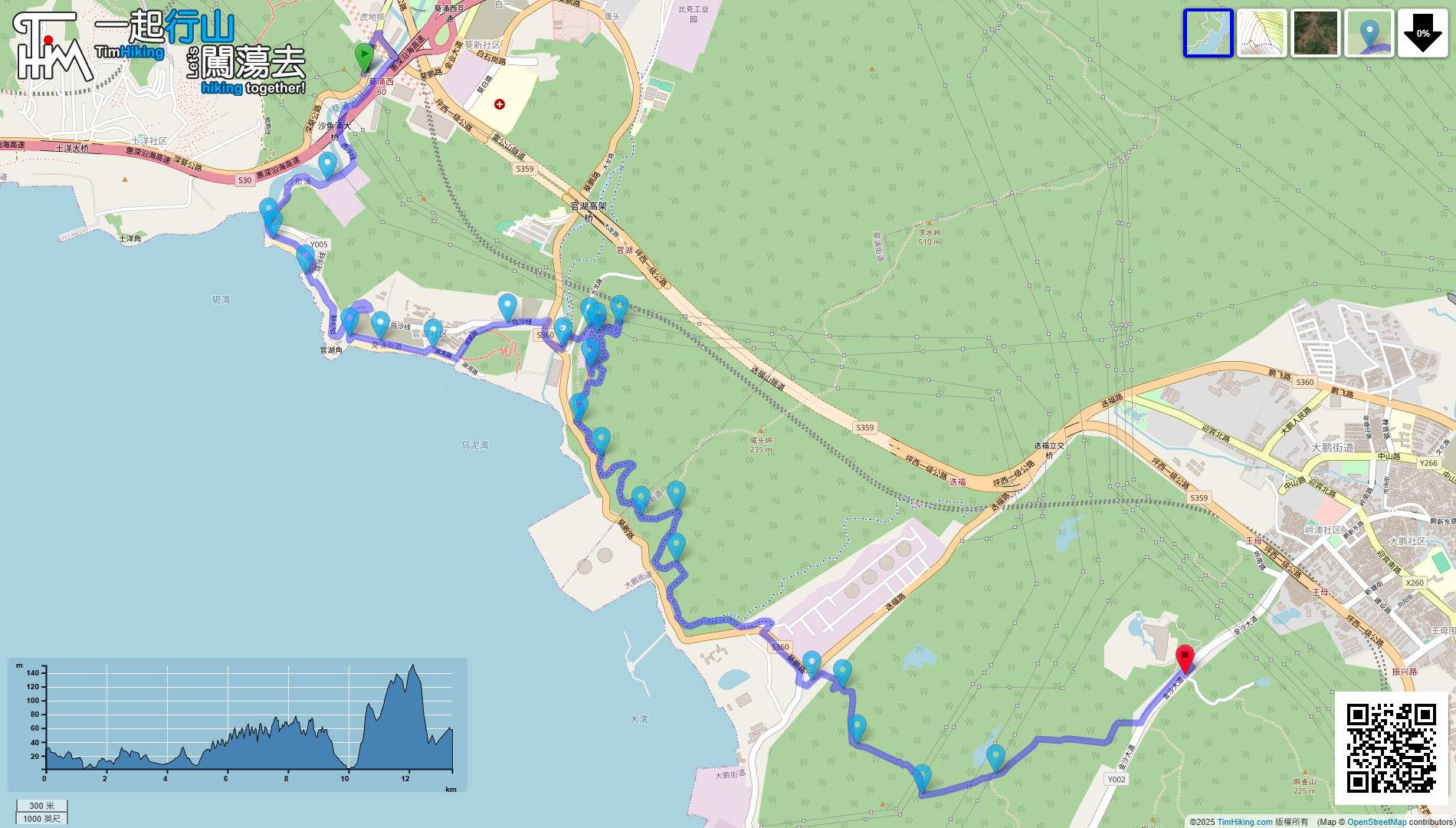
| Length : | 13.5km | ||
| Time : | 6hours | ||
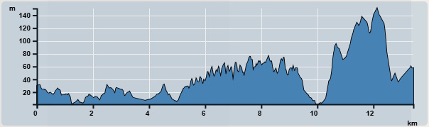 | |
| Ascent : 356m | Descent : 328m |
| Max : 151m | Min : 1m |
| (The accuracy of elevation is +/-30m) | |

 Convenience Store
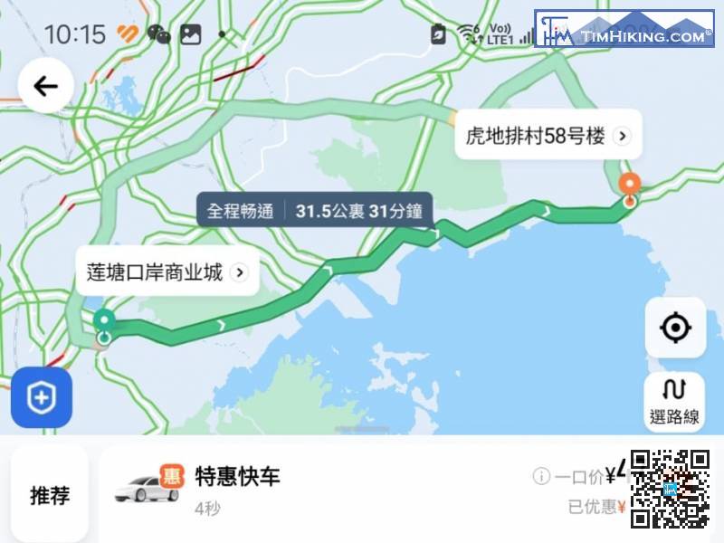
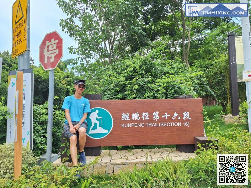
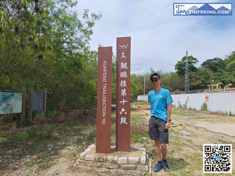
You can take a taxi directly to the starting point. The taxi pick-up location is 'Building 58, Fu Tei Village(虎地排村58號樓)'.
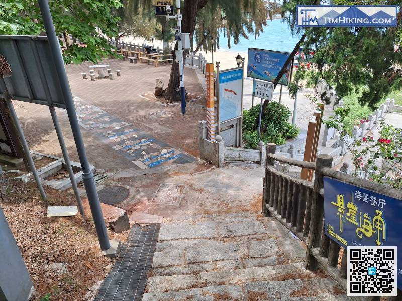
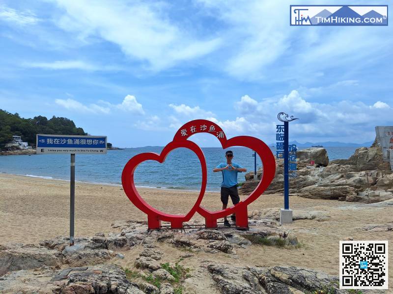
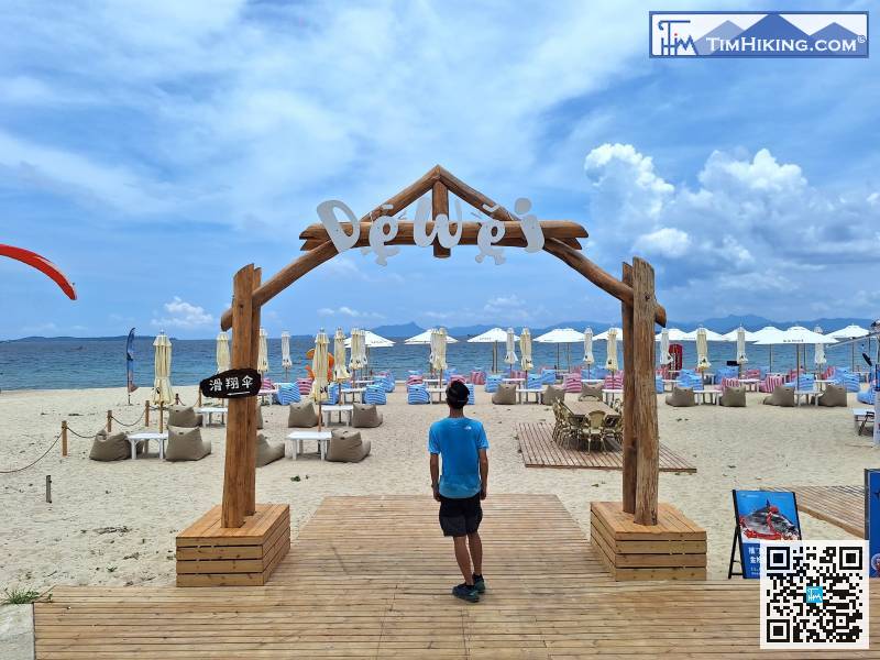
You have to pay to enter the beach, but as long as you say you are here to walk the Kunpeng Trail, you can pass for free.
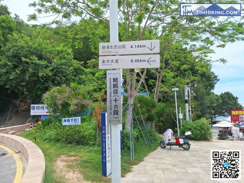
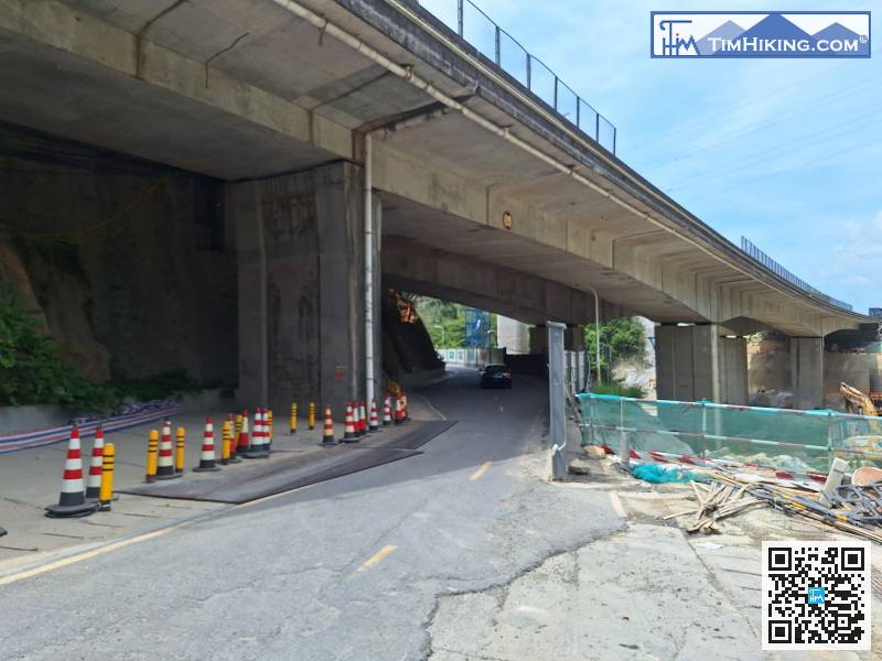
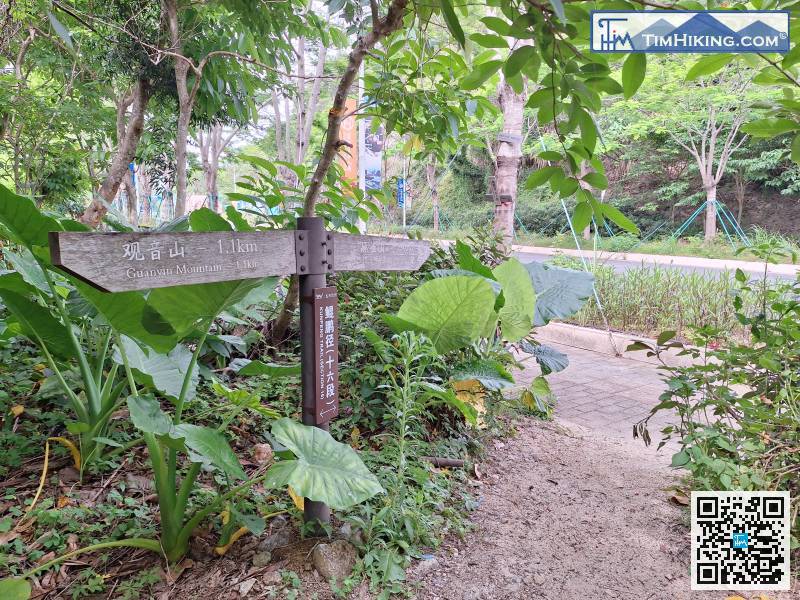
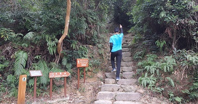
Pay attention to the road signs
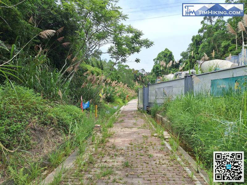
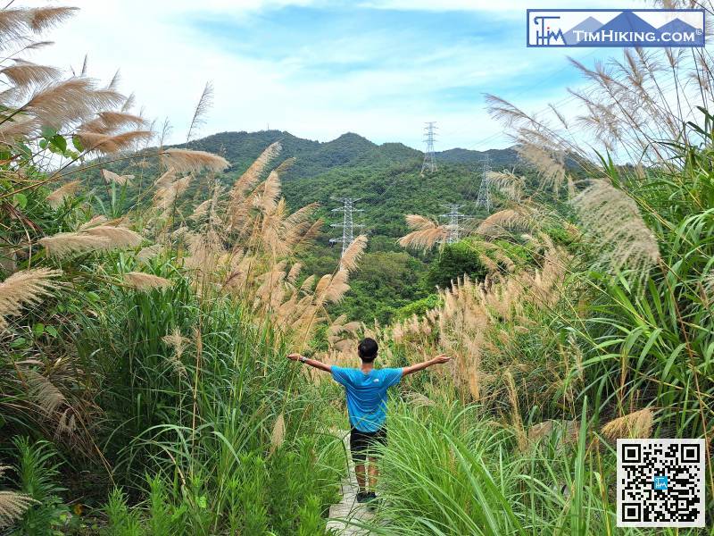
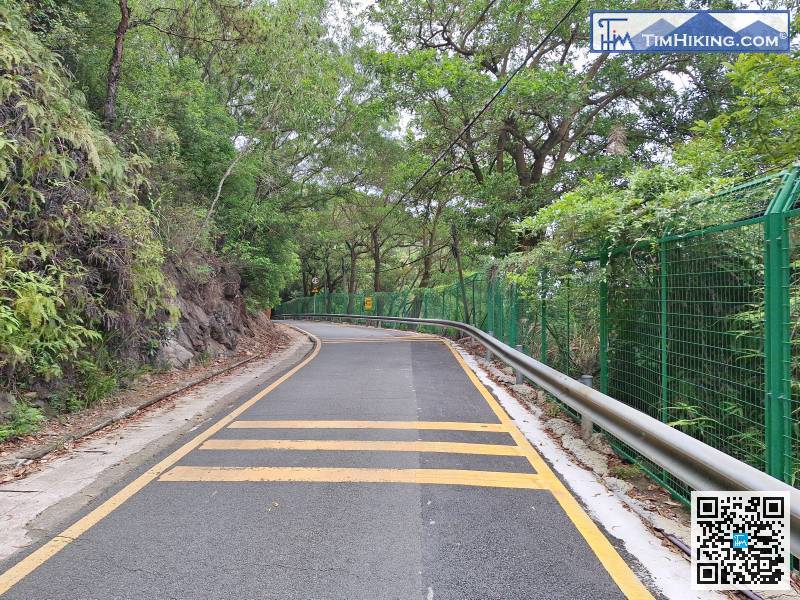
This is a long greenway.
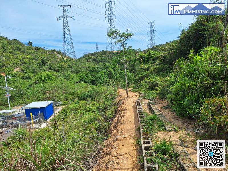
Go down the slope
Walk to where you see the white building. Don't be in a hurry to turn left on the dirt road.


