Recommend YouTube




| View : |  | ||
| Difficulty : |  | ||
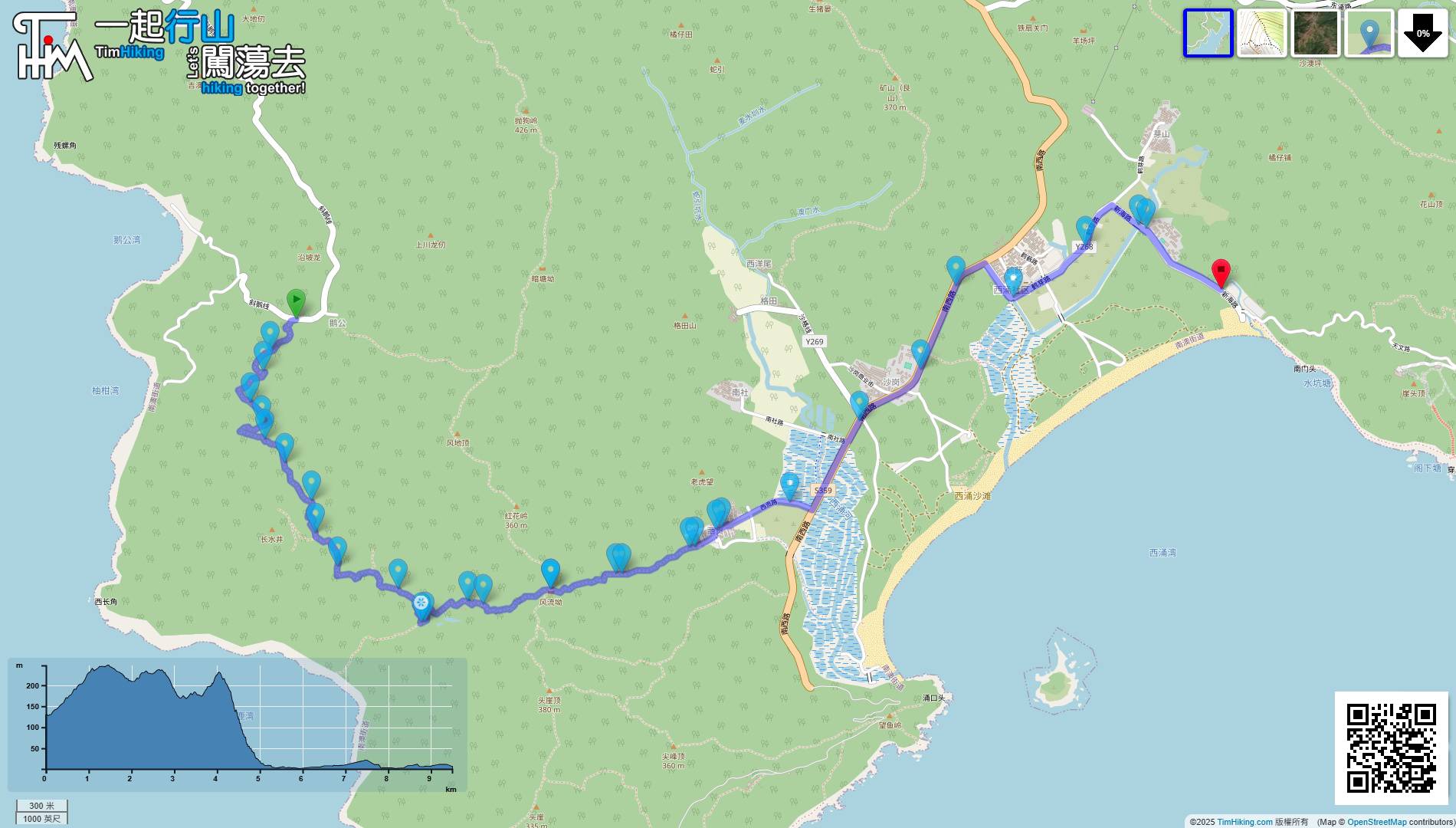
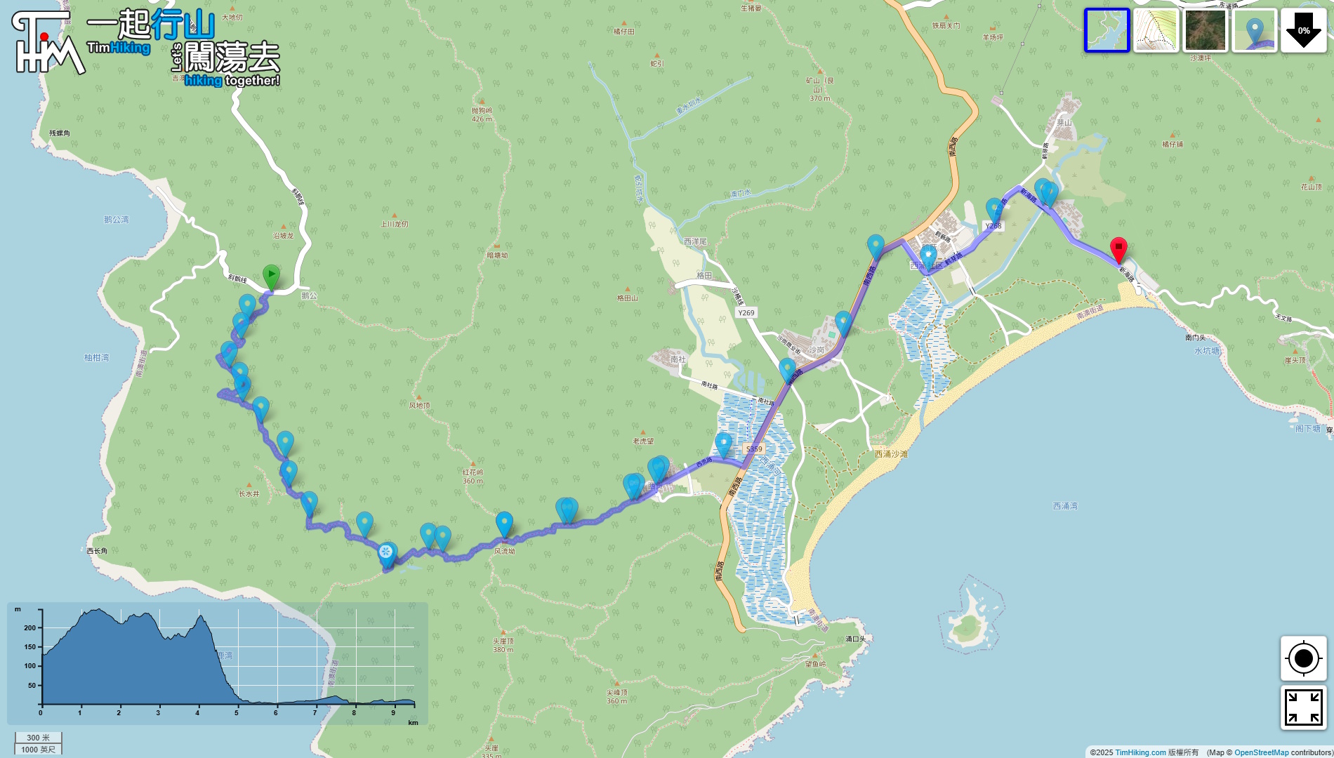
| Path : | |||
| Length : | 9.5km | ||
| Time : | 4hours | ||
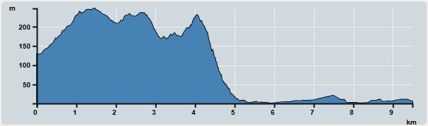 | |
| Ascent : 246m | Descent : 330m |
| Max : 247m | Min : 1m |
| (The accuracy of elevation is +/-30m) | |


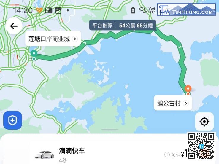
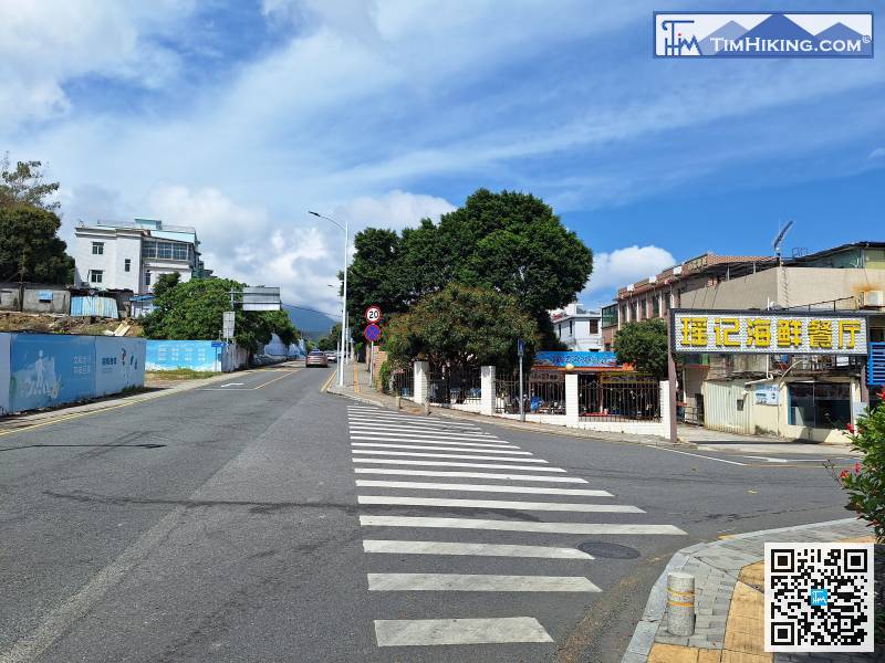
There is no bus at the starting point, but you can take a taxi directly to the 'Egong Ancient Village(鵝公古村)'.
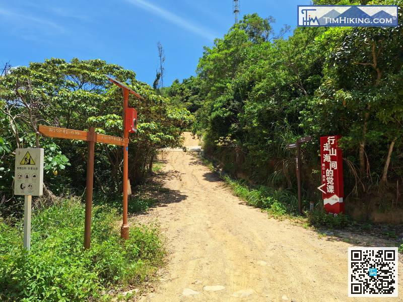
The mountain trail is very obvious, and it is impossible to make a wrong choice.
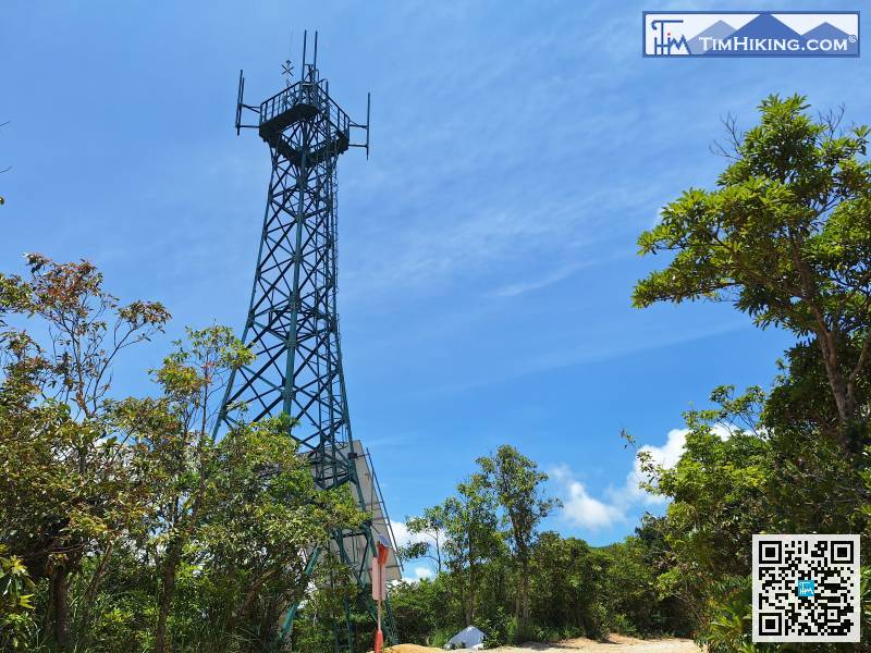
When you reach the top of a small hill, you will see a transmission tower.
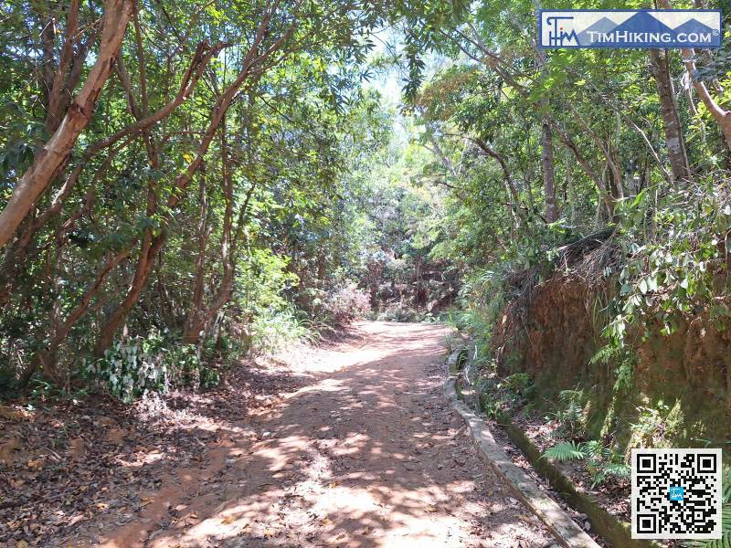
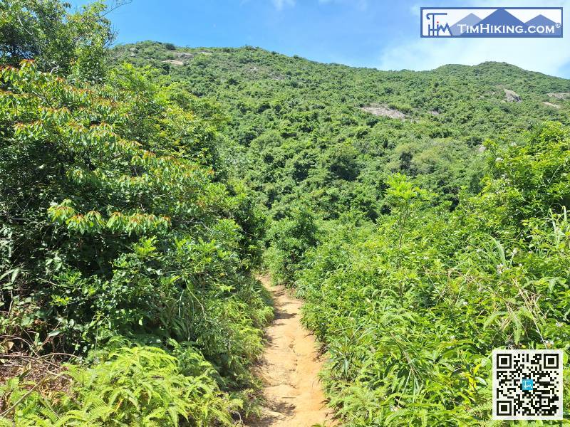
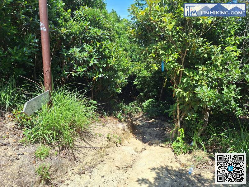
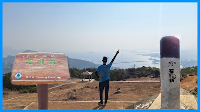
This is the highest point of the whole journey. You don't need to go up the mountain anymore.
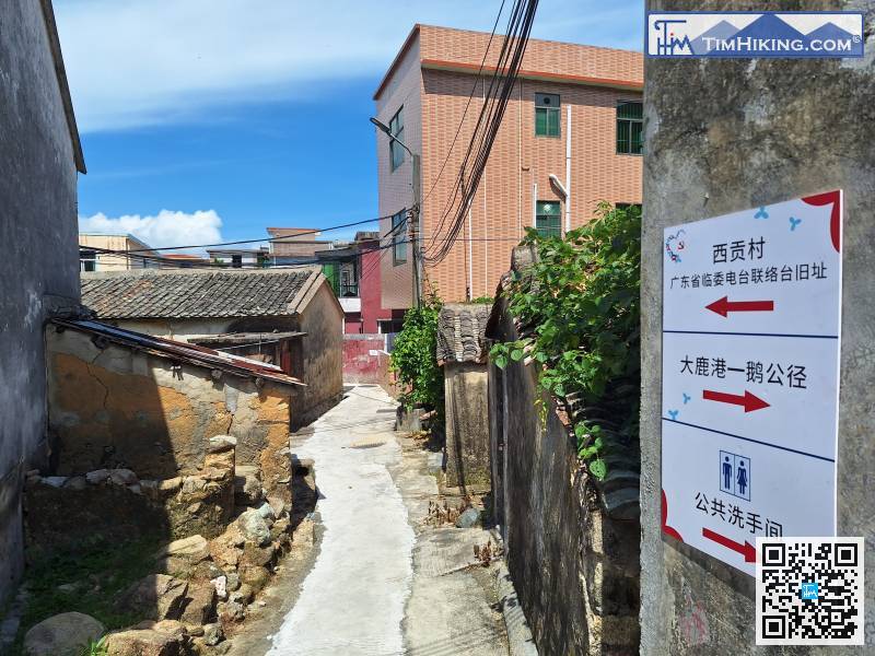
Next, just follow the road signs in the direction of Xigong Village,
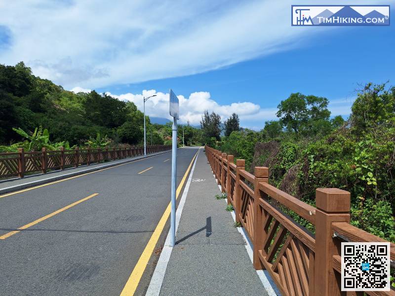
There is a pedestrian path at the beginning of this section.