


 Recommend YouTube

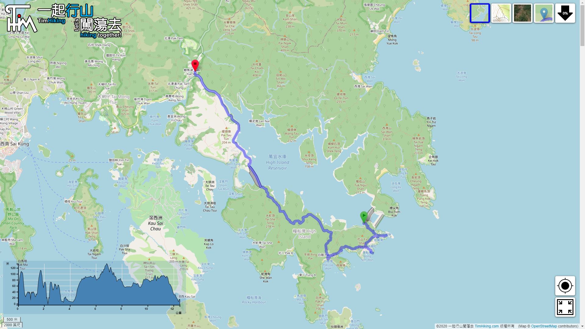

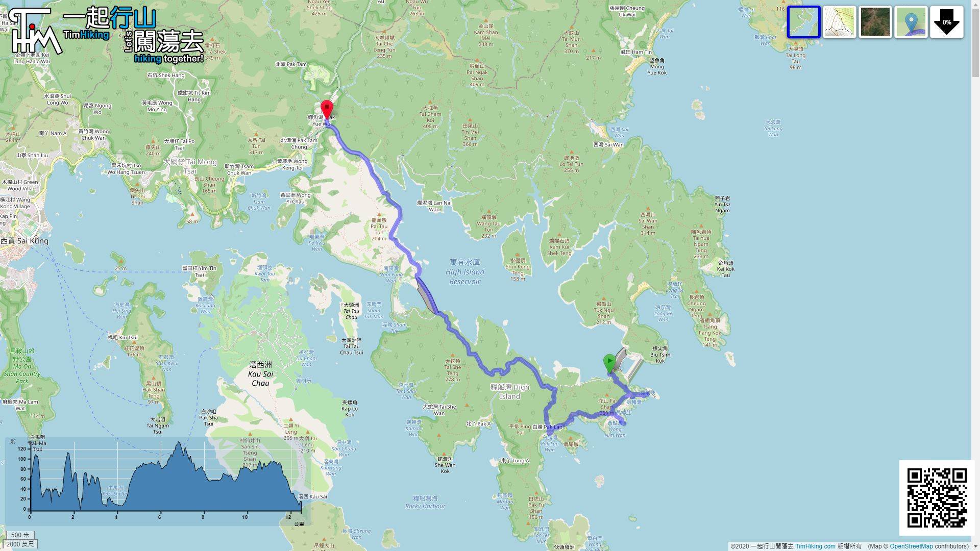
| View : |  | ||
| Difficulty : |  | ||
 (return at East Dam) | |||
| Path : | |||
| Length : | 12.5km | ||
| Time : | 7hours | ||
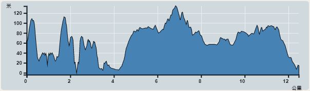 | |
| Ascent : 682m | Descent : 733m |
| Max : 134m | Min : 0m |
| (The accuracy of elevation is +/-30m) | |

 Pak Lap Wan Store
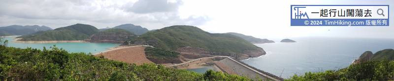
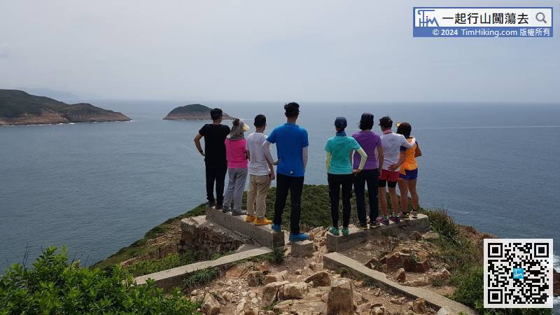
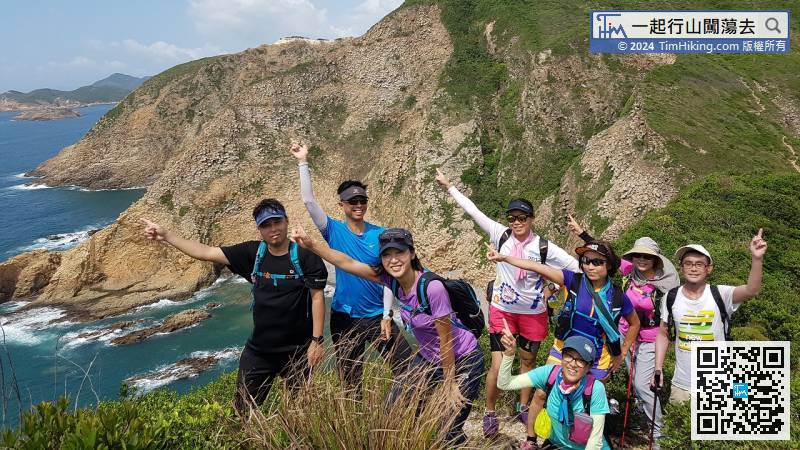
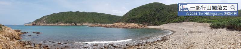
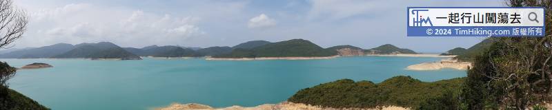
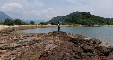
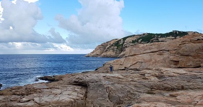
 14︰First, going in the direction of Po Pin Chau, can see Kim Chu Wan from a high place through a little dense forest.
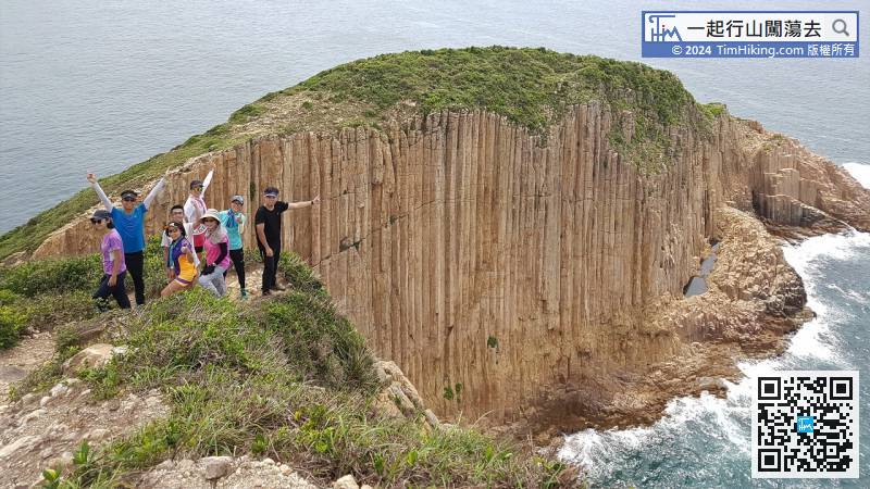
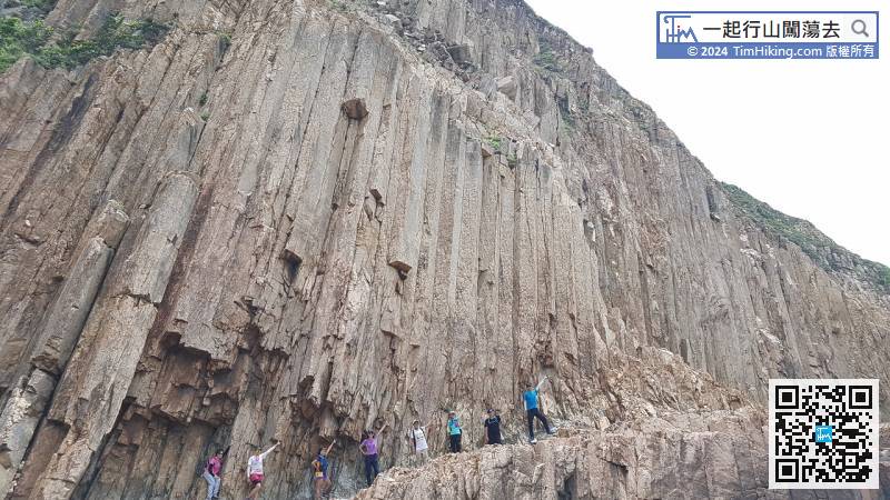
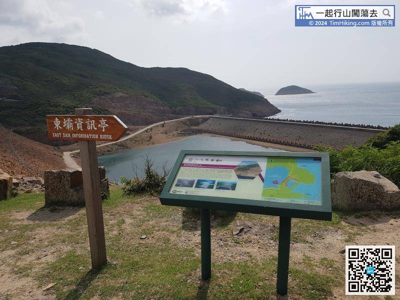
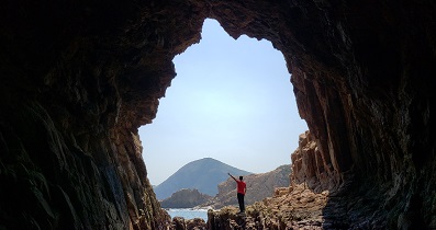
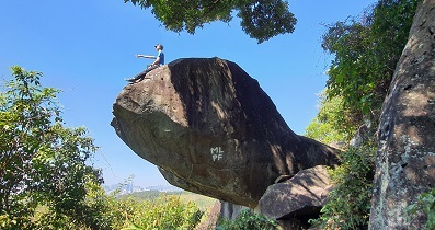
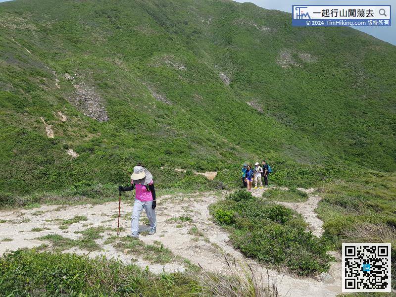 18︰Just moving two more steps, it is the best location to shoot Po Pin Chau, which is a spectacle.
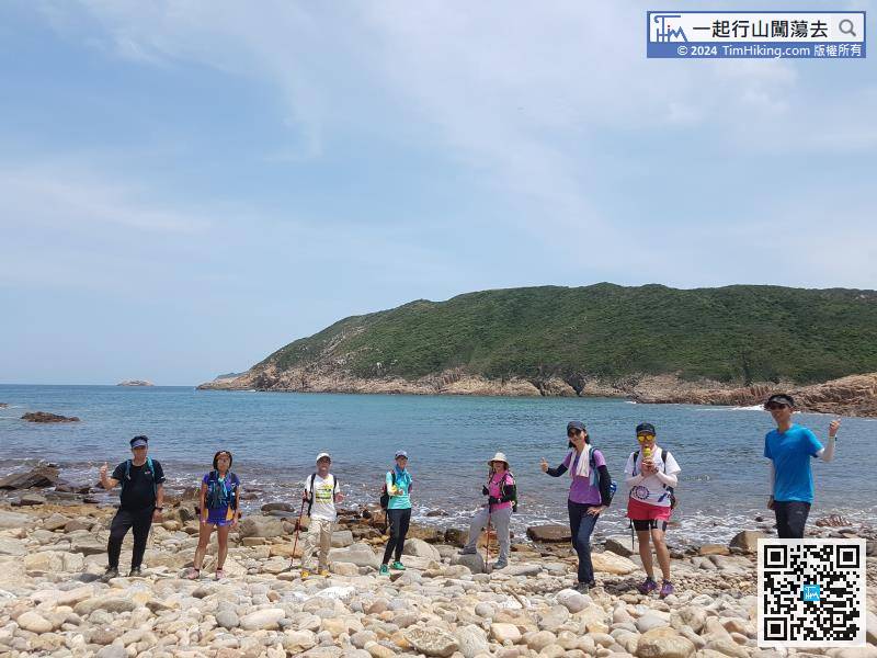
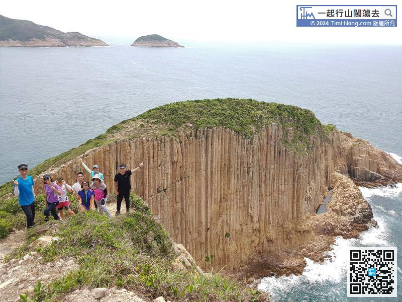
Just moving two more steps, it is the best location to shoot Po Pin Chau, which is a spectacle.
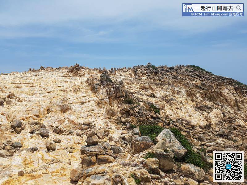
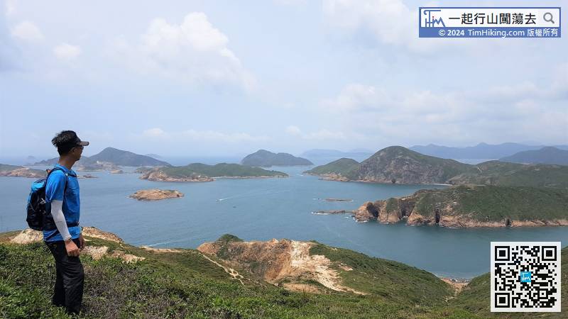
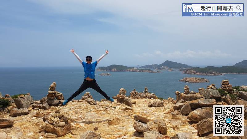
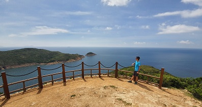
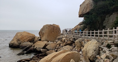
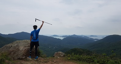
When reaching the top of the mountain, will see piles of artificially stacked stone pillars. The range is very spectacular.


