


 Recommend YouTube


| View : |  | ||
| Difficulty : |  | ||
| Path : | |||
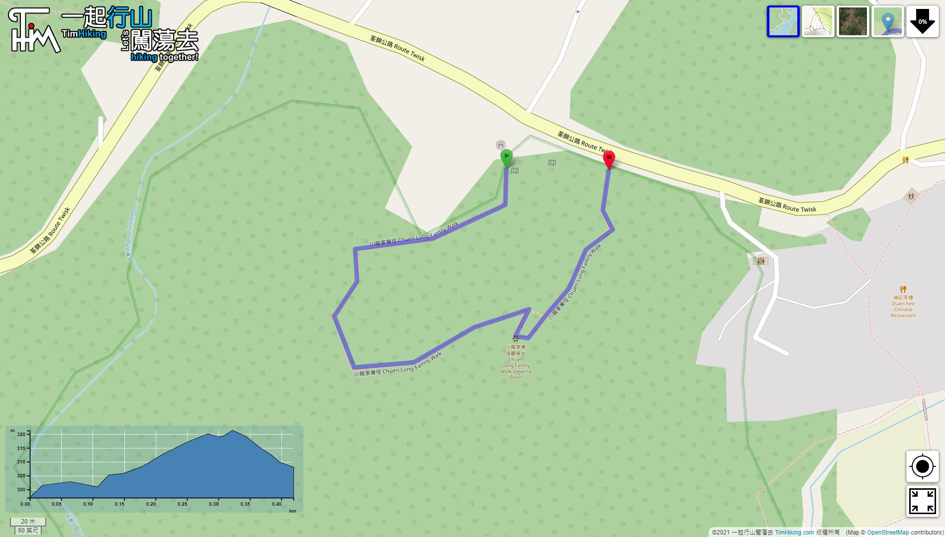
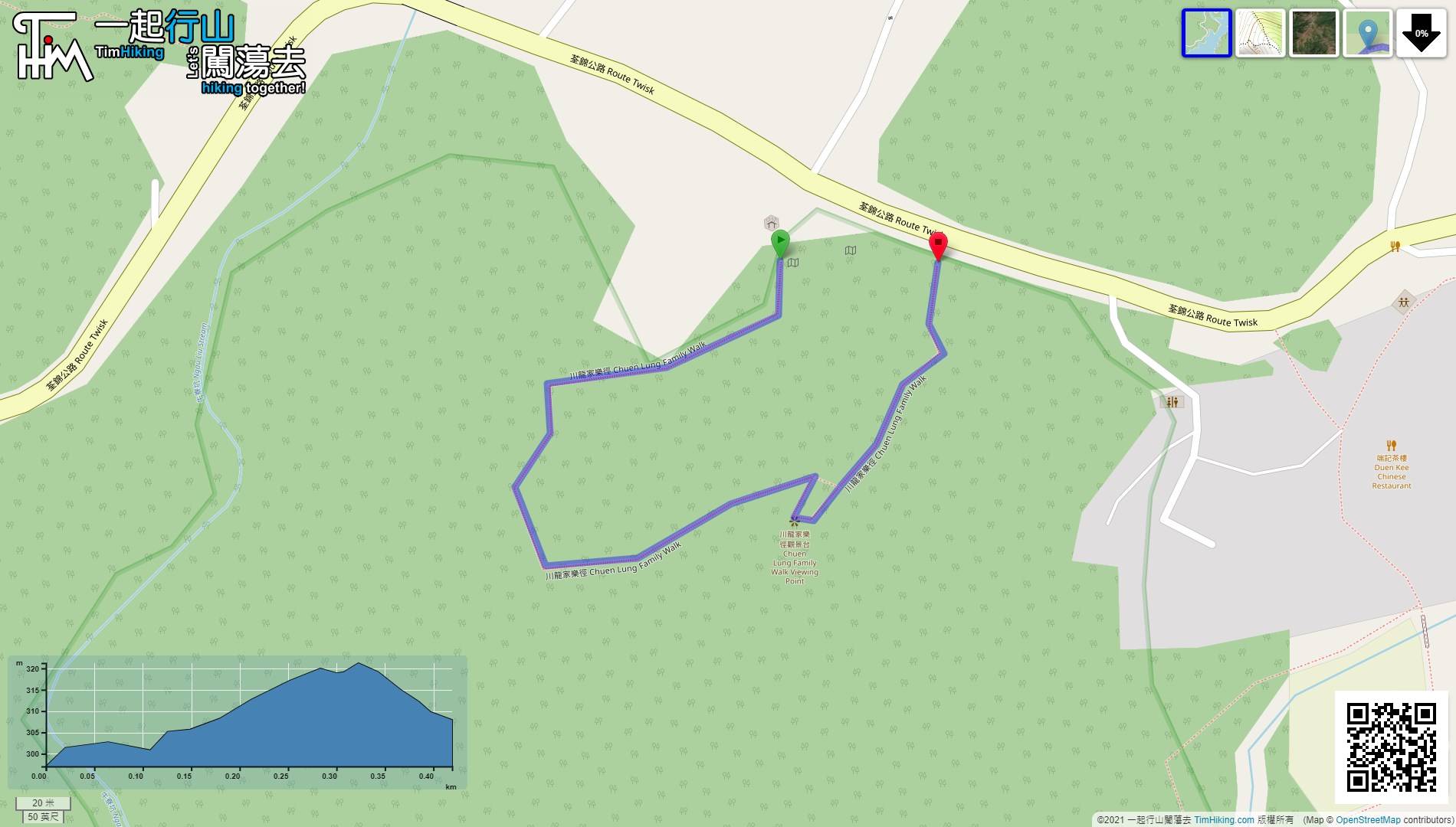
| Length : | 0.5km | ||
| Time : | ¼hours | ||
 | |
| Ascent : 34m | Descent : 14m |
| Max : 321m | Min : 297m |
| (The accuracy of elevation is +/-30m) | |


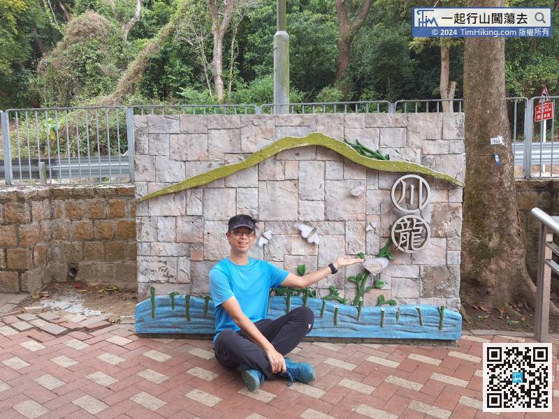
The starting point is at Chuen Lung. You can take a minibus 80 at Chung On Street, Tsuen Wan, and get off at the Chuen Lung terminus.
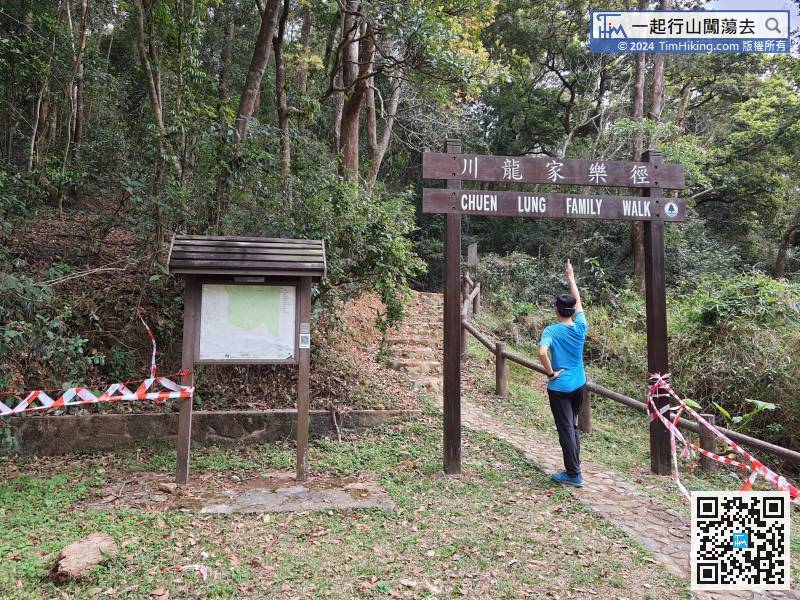
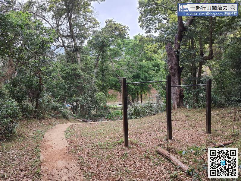
 8︰On the left, will find the big archway of Chuen Lung Family Trail.
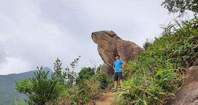
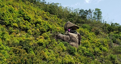
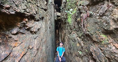
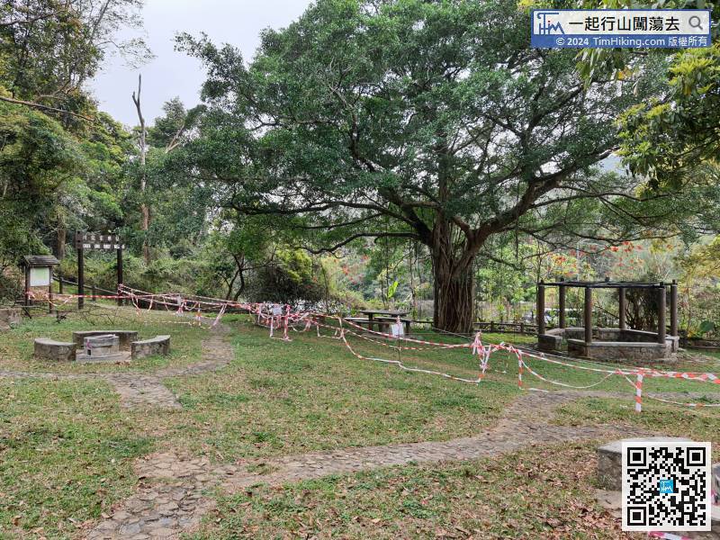 18︰the scenery is pretty good.
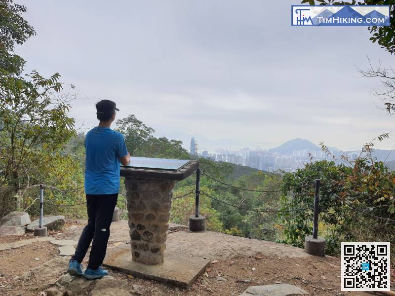


