


 Recommend YouTube


| View : |  | ||
| Difficulty : |  | ||
| Path : | |||
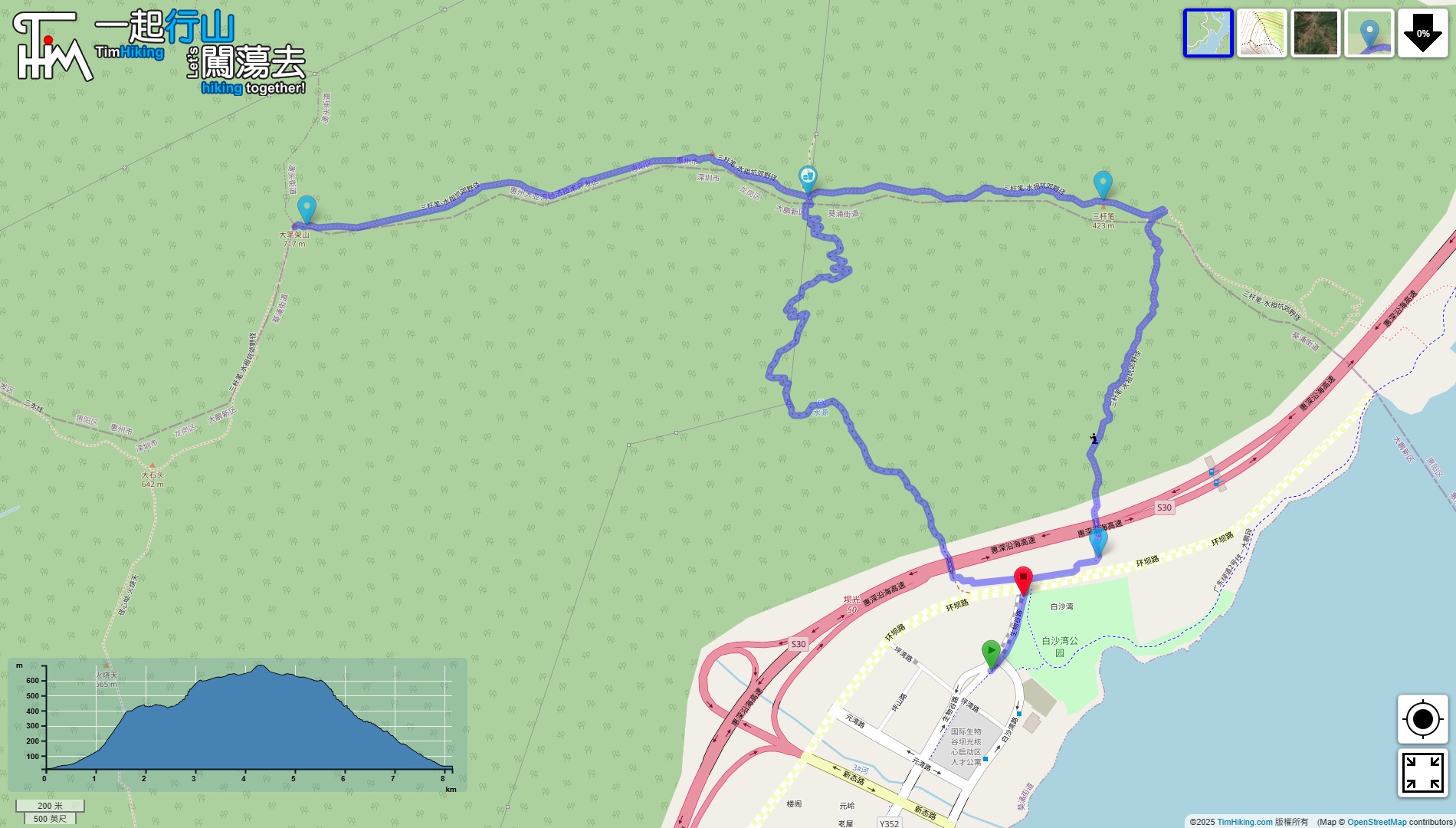
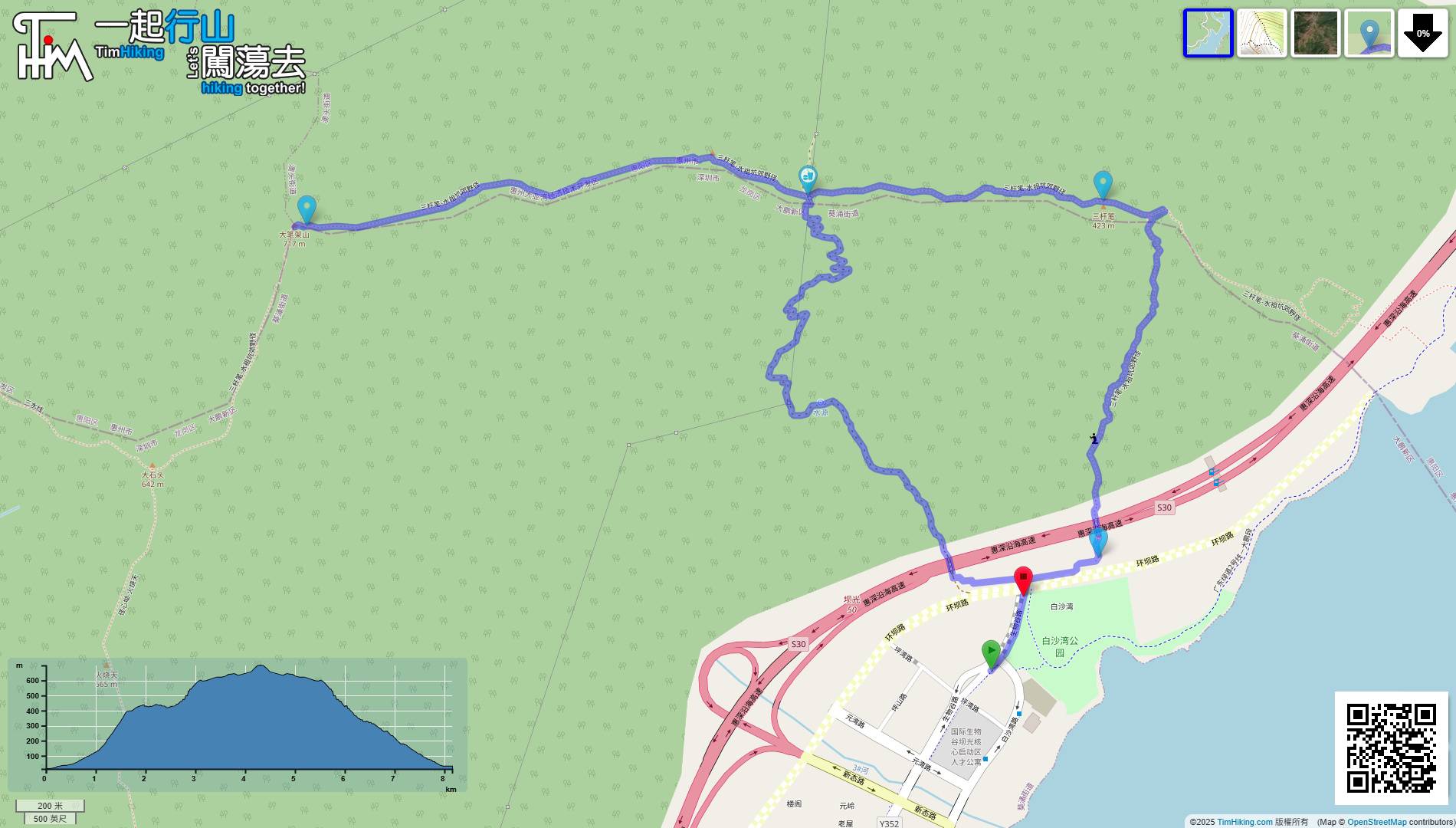
| Length : | 8.2km | ||
| Time : | 5½hours | ||
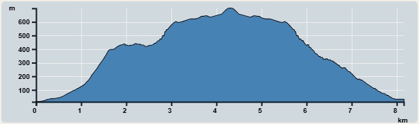 | |
| Ascent : 695m | Descent : 688m |
| Max : 700m | Min : 12m |
| (The accuracy of elevation is +/-30m) | |

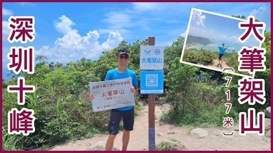
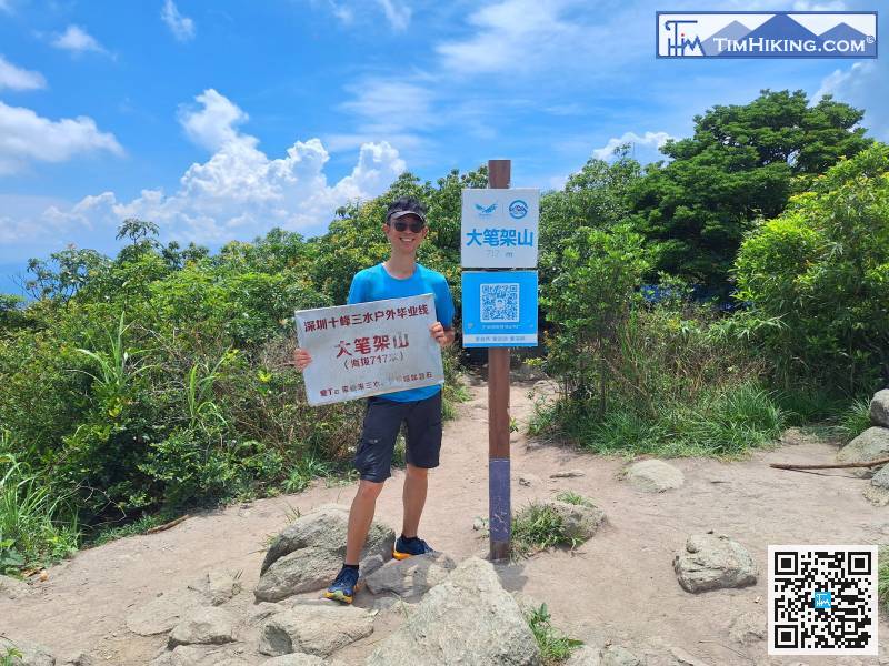
 Self-service scanning code sales
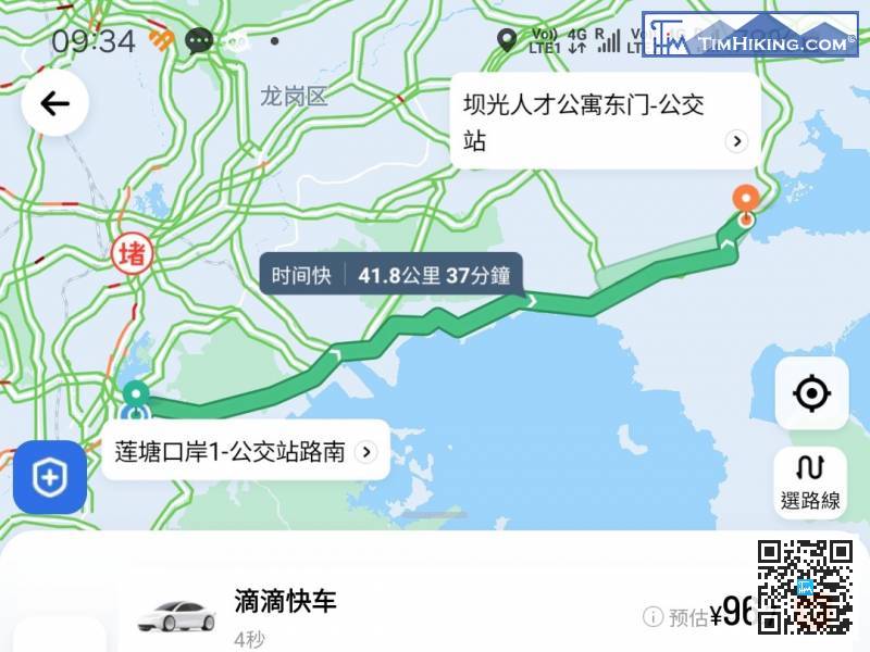
To get to the starting point, the easiest way is to take a taxi. The location is 'Baguang Talent Apartment East Gate-Bus Station(壩光人才公寓東門-公交站)'.
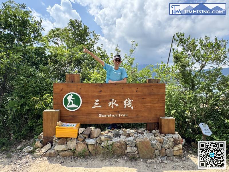
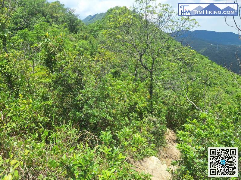
This is the new official Sanshui Trail's Entrance near Baishawan Park.
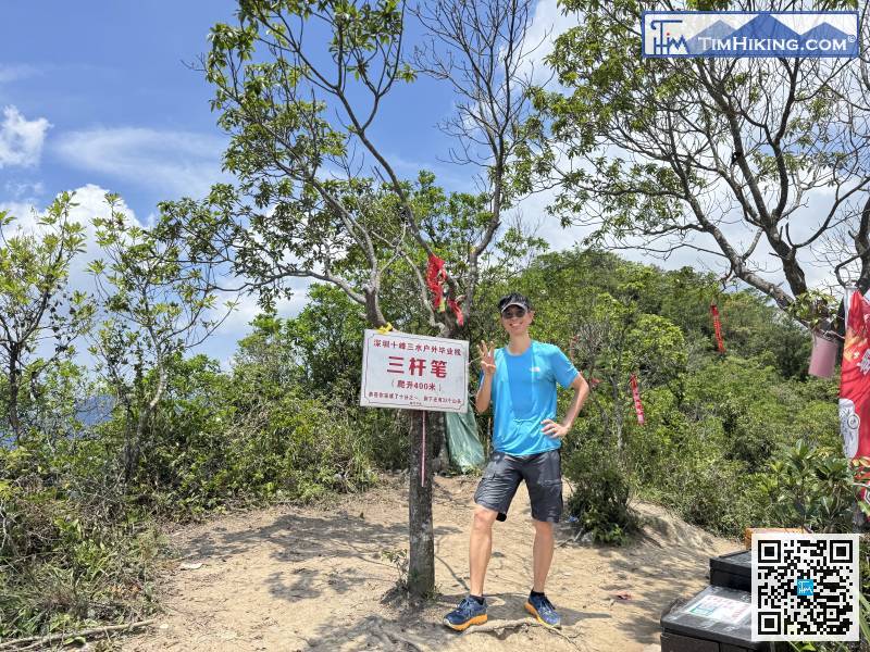
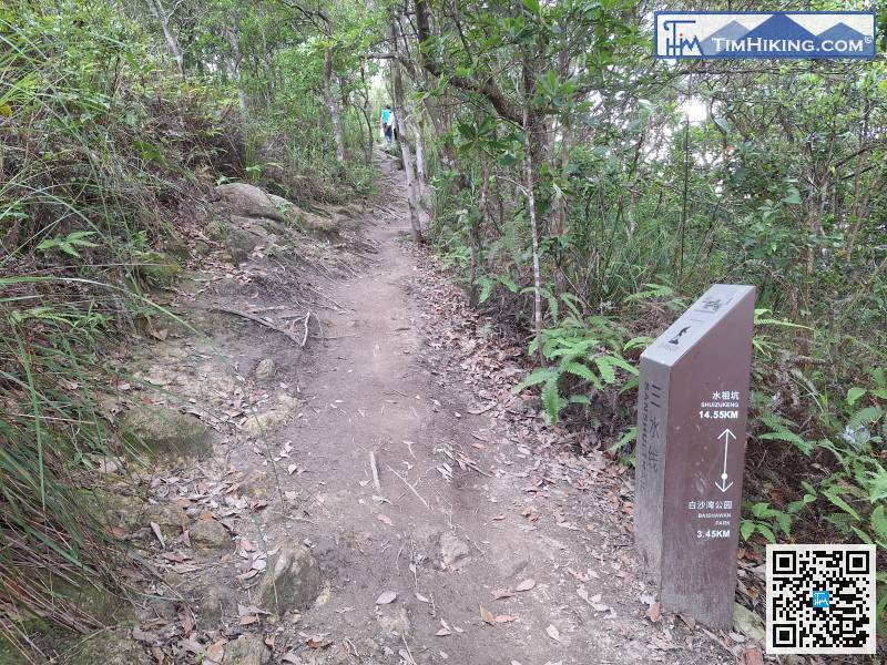
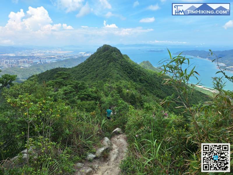
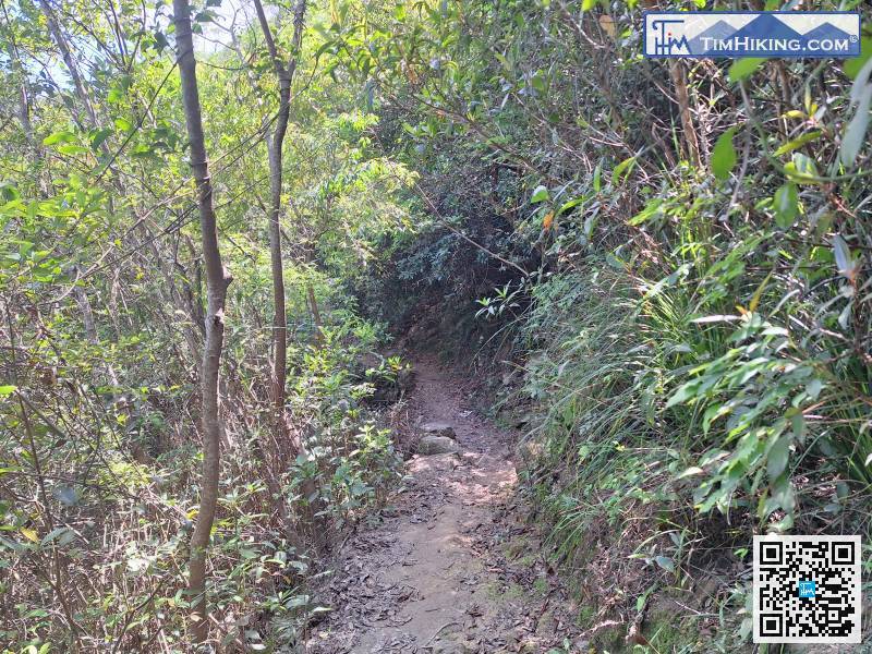
There is a fork in the road near the top. Turning left is the climbing route,
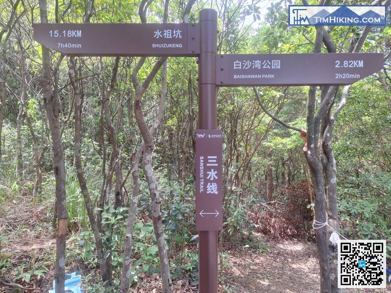
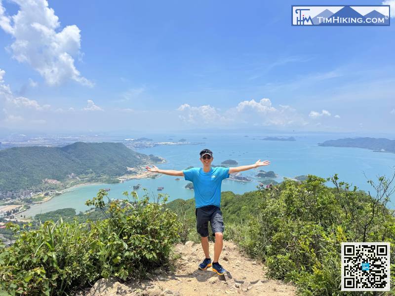
The direction to Dabishan is Shui Zu Keng. After reaching the top, you have to return to the Hankeng Rest Area.
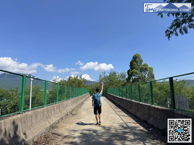
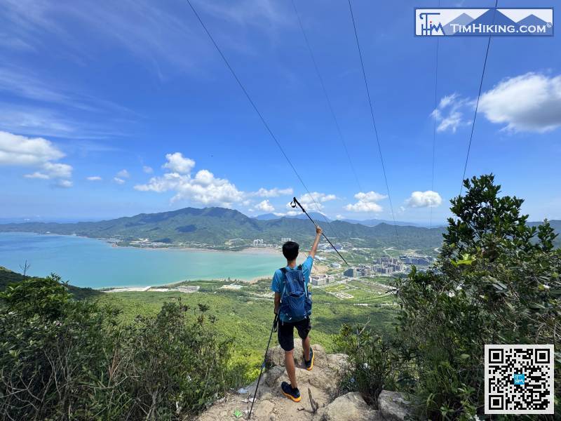
Finally, just like before going up the mountain, you have to cross a pedestrian bridge.


