


 Recommend YouTube


| View : |  | ||
| Difficulty : |  | ||
| Path : | |||
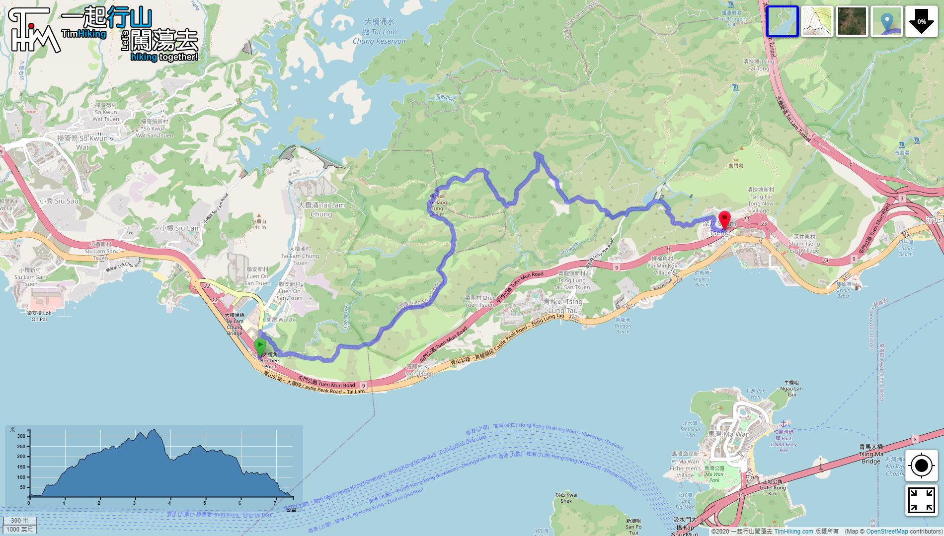
| Length : | 7.8km | ||
| Time : | 4½hours | ||
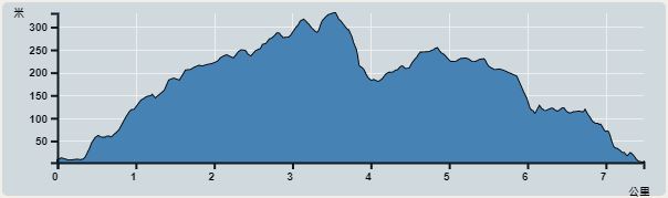 | |
| Ascent : 551m | Descent : 560m |
| Max : 330m | Min : 2m |
| (The accuracy of elevation is +/-30m) | |


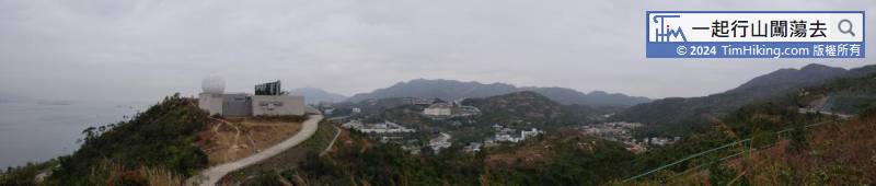
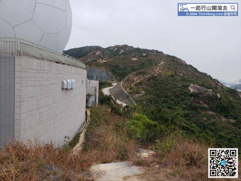
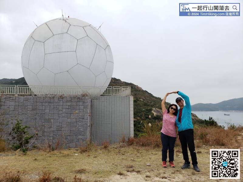
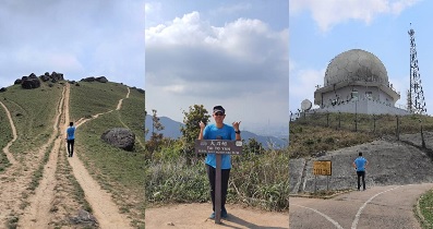
On the right side of Radar Station, can clearly see the trail going up the mountain, so follow the trail back to the road,
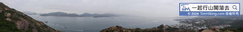
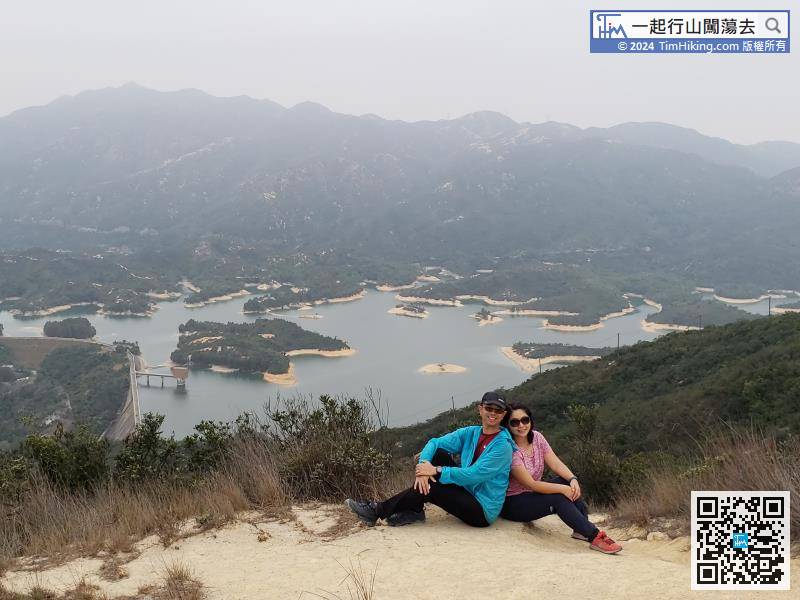
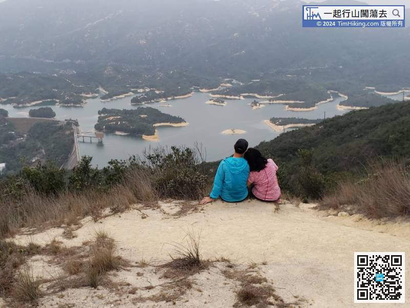
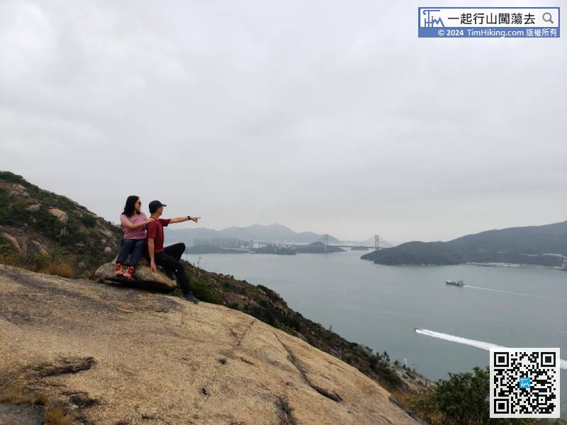
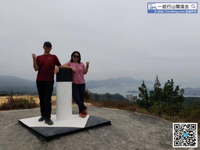
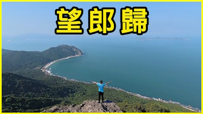
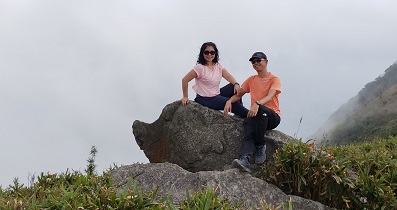
In an instance, come to a peak of To Hang Tung, it is To Hang Tung Vice Peak only. This is the position of Tai Lam Chung Reservoir Viewpoint C.
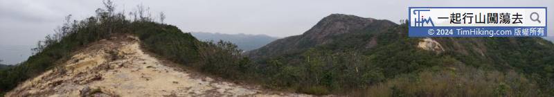
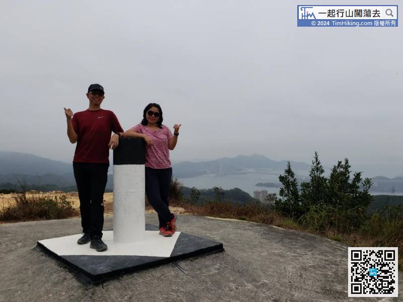
After crossing a section of forest road, finally come to the top of To Hang Tung mountain.
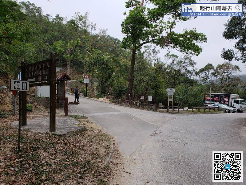
Keep left on the road, turn left at the first intersection, and will arrive at the gate management booth of Tai Lam Nature Trail,


