


 Recommend YouTube


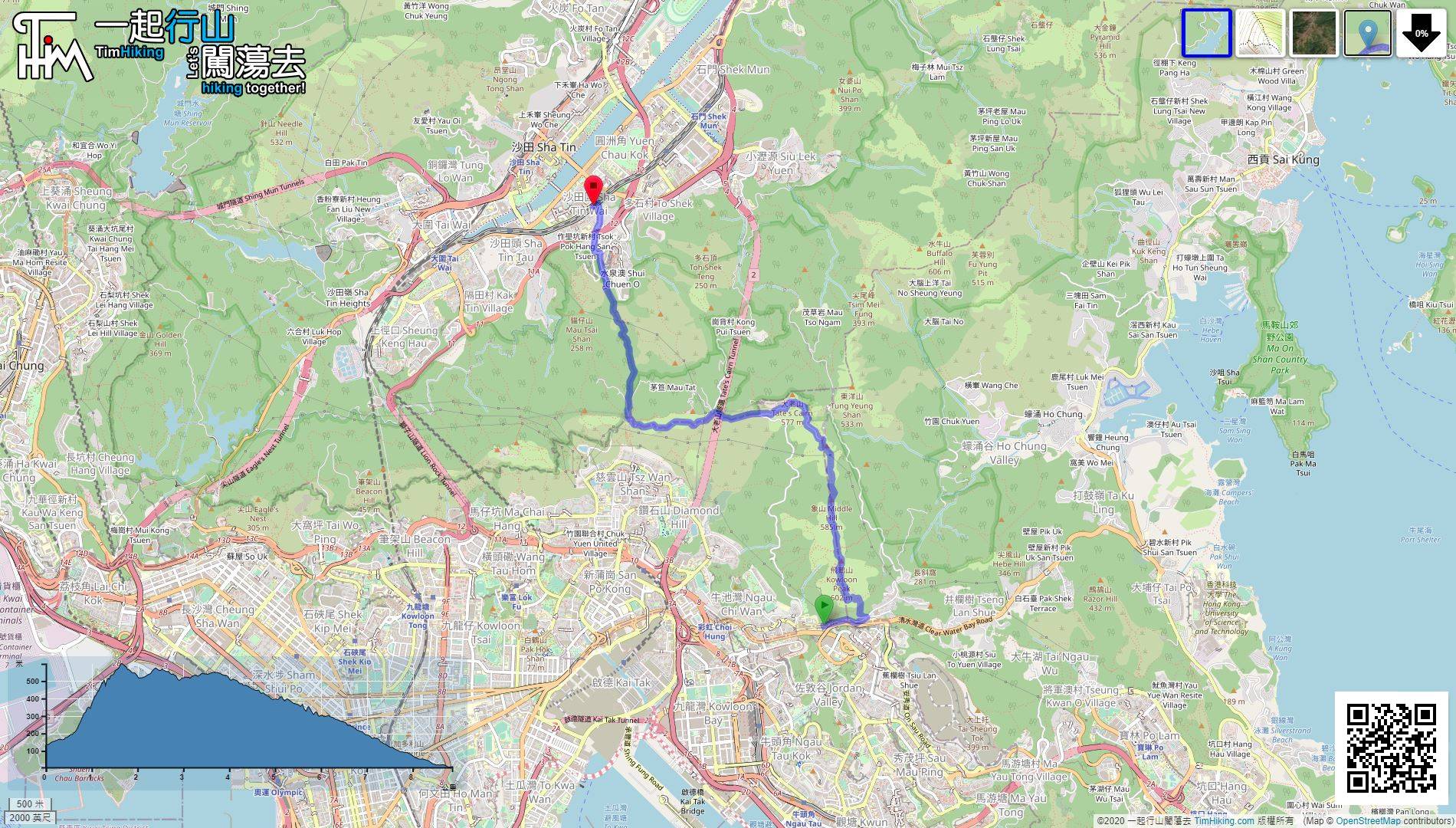
| View : |  | ||
| Difficulty : |  | ||
| Path : | |||
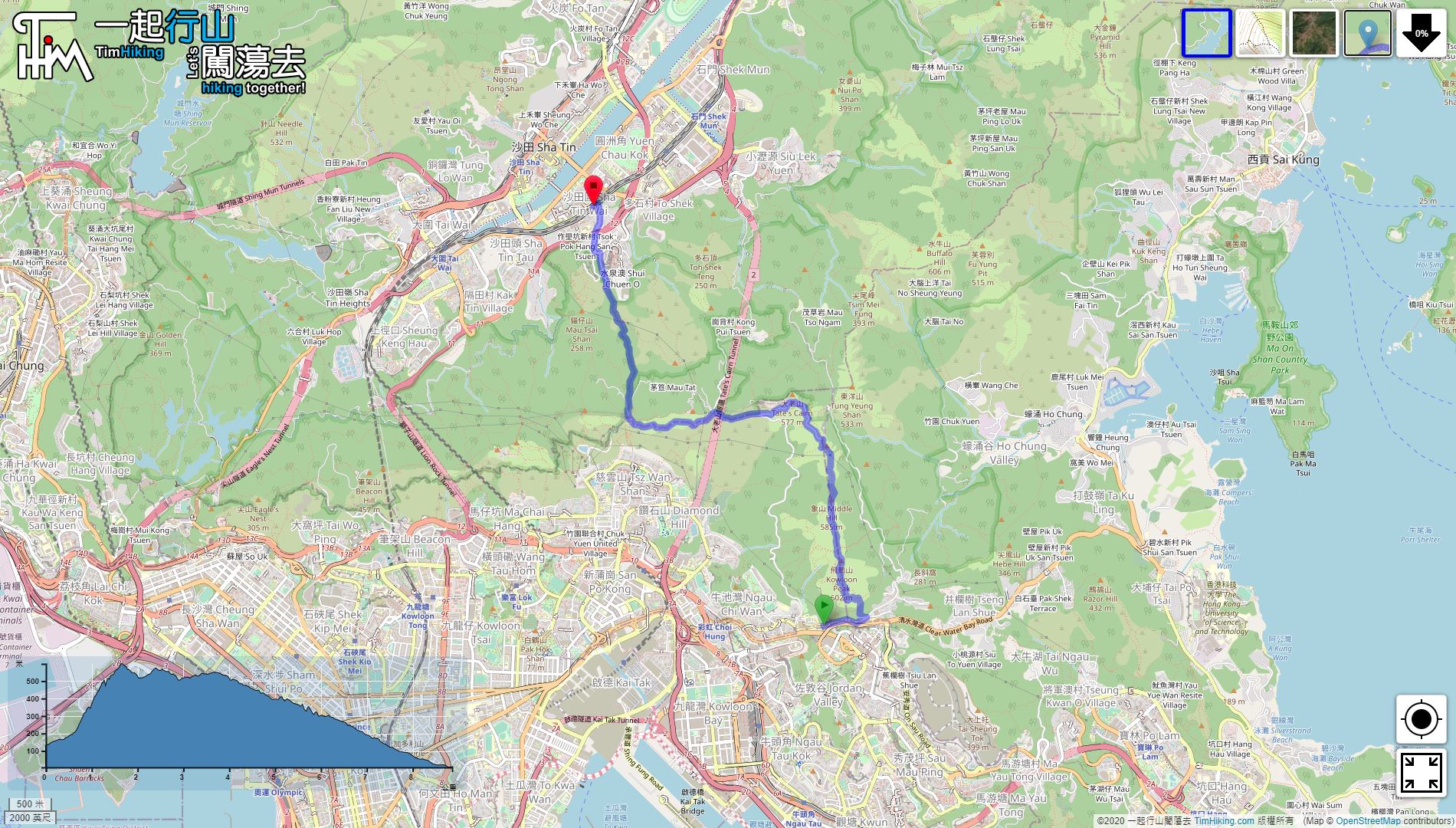
| Length : | 8.8km | ||
| Time : | 4½hours | ||
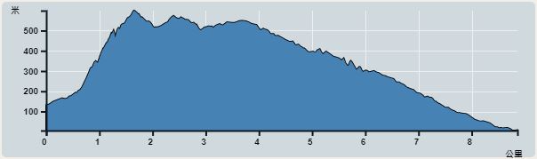 | |
| Ascent : 774m | Descent : 898m |
| Max : 599m | Min : 5m |
| (The accuracy of elevation is +/-30m) | |

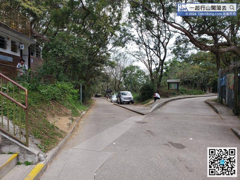
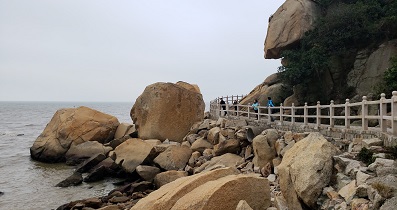
 Lion Pavilion Store
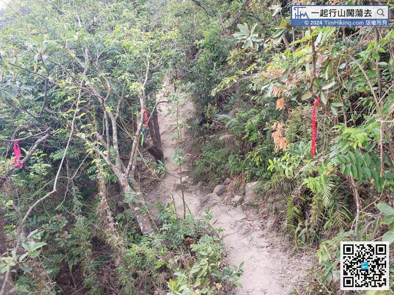
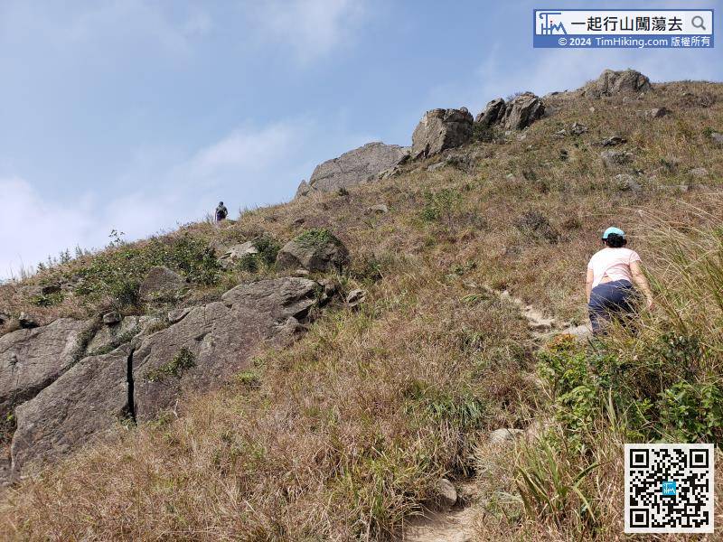
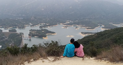
This time take the slight slope route on the left, and there are a lot of ribbons tied at the intersection, which is easy to identify.
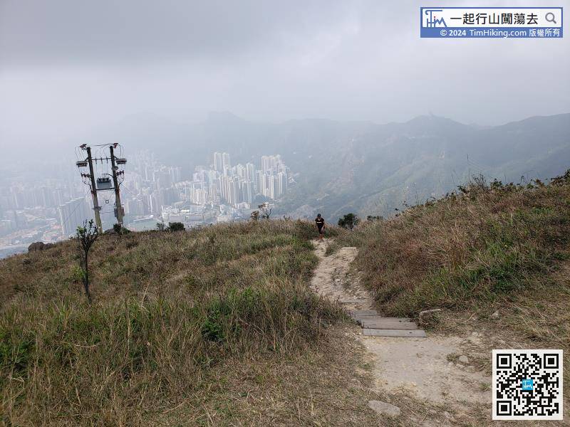
Go down the mountain through the trail on the left of the helipad,
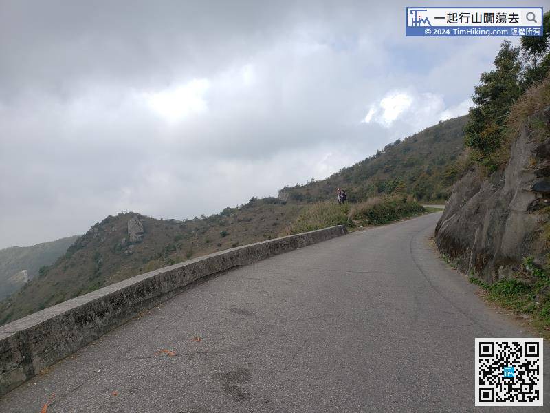
Connect to Fei Ngo Shan Road, turn left and continue straight downhill for about 3km.


