


 Recommend YouTube


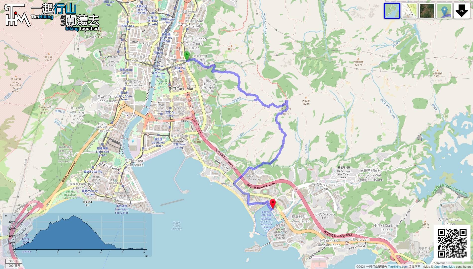
| View : |  | ||
| Difficulty : |  | ||
| Path : | |||
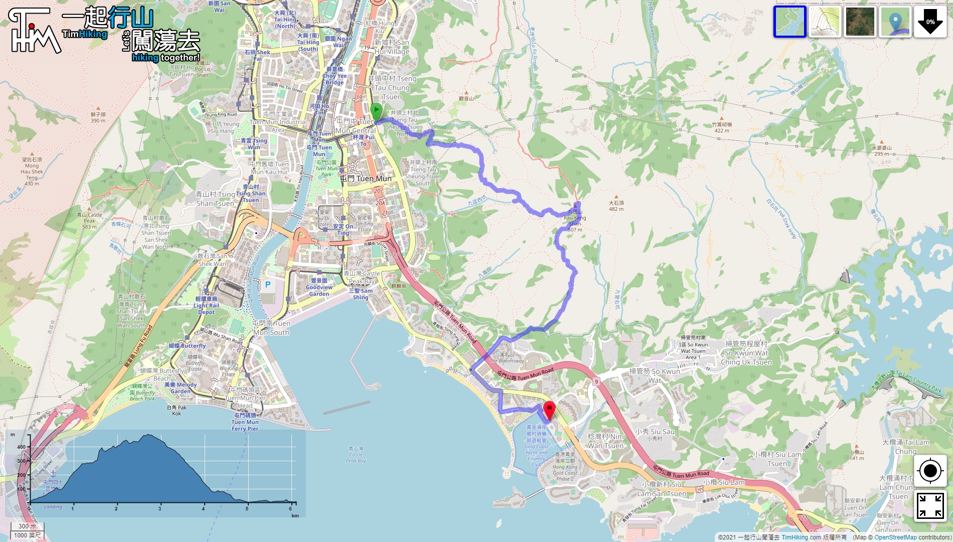
| Length : | 6.1km | ||
| Time : | 4½hours | ||
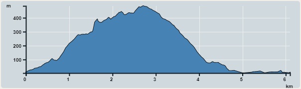 | |
| Ascent : 622m | Descent : 626m |
| Max : 485m | Min : 3m |
| (The accuracy of elevation is +/-30m) | |


 13︰and will come to the big bifurcations.
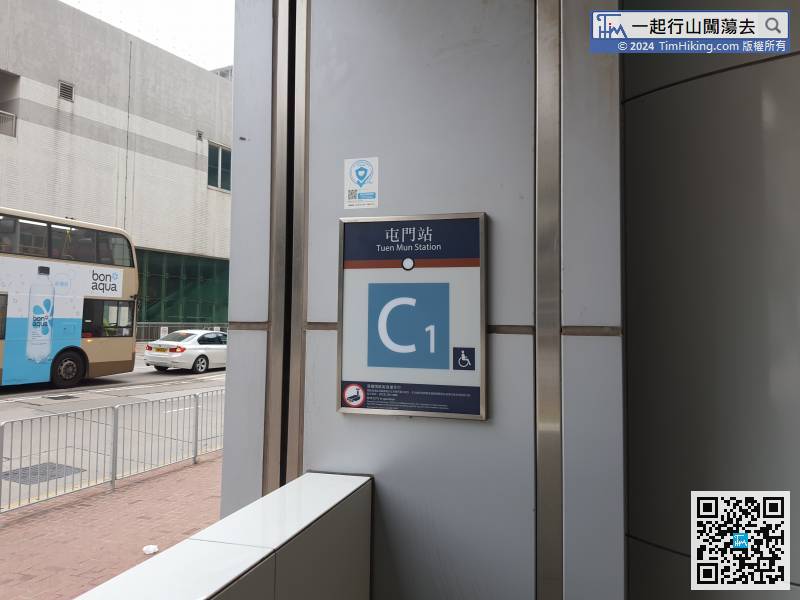
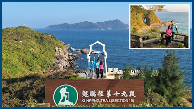
Starting at Tuen Mun Hon Fuk Tong Centre, leave at Tuen Mun Station Exit C1,
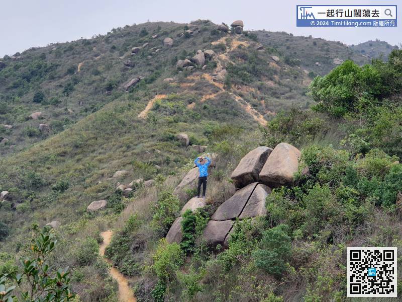
17︰stop when seeing the yellow and black square stone pillars, 23︰At the bifurcation not long after going up the mountain,
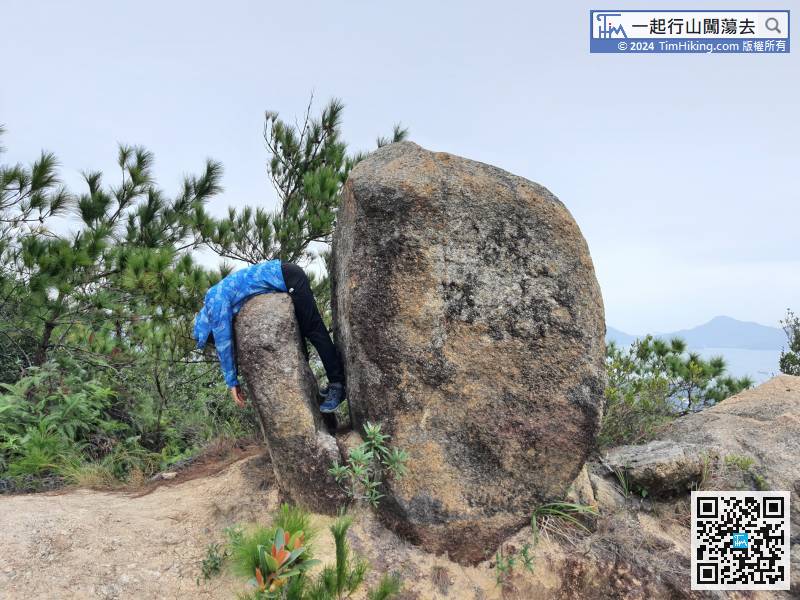
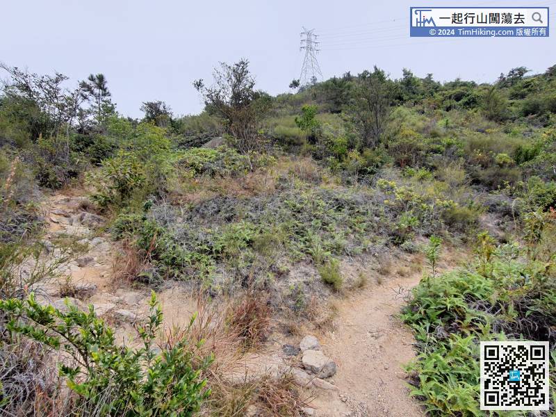 40︰and will see the lovely Alarm Clock Rock.
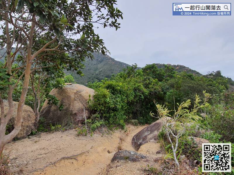
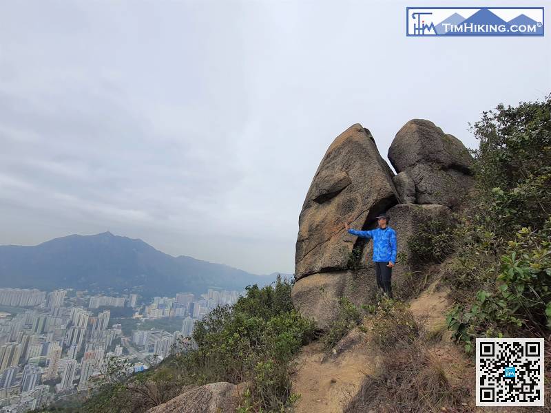
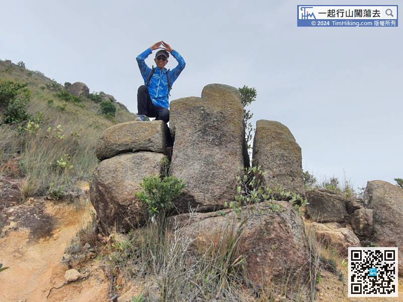
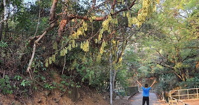
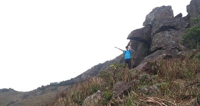
After passing the big rocks, start searching for Alarm Clock Rock in the mountainside on the left.
49︰then deviate from the main path and go to the right.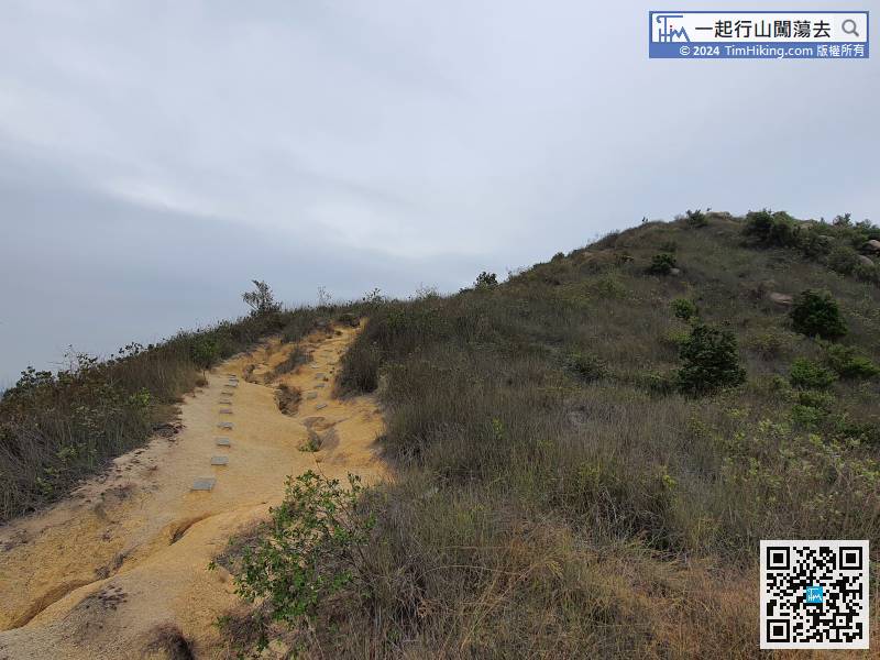
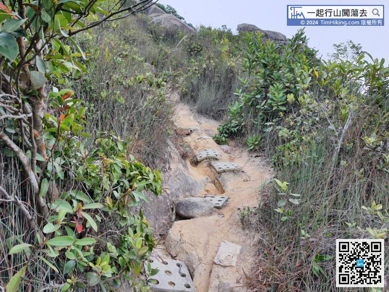
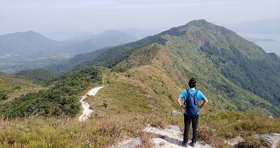
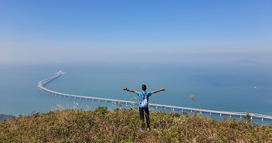
There are anti-skid steps near the top of the mountain. Although it is very rugged, it is very easy to walk.
69︰Walking to the left side of Obstacle Light,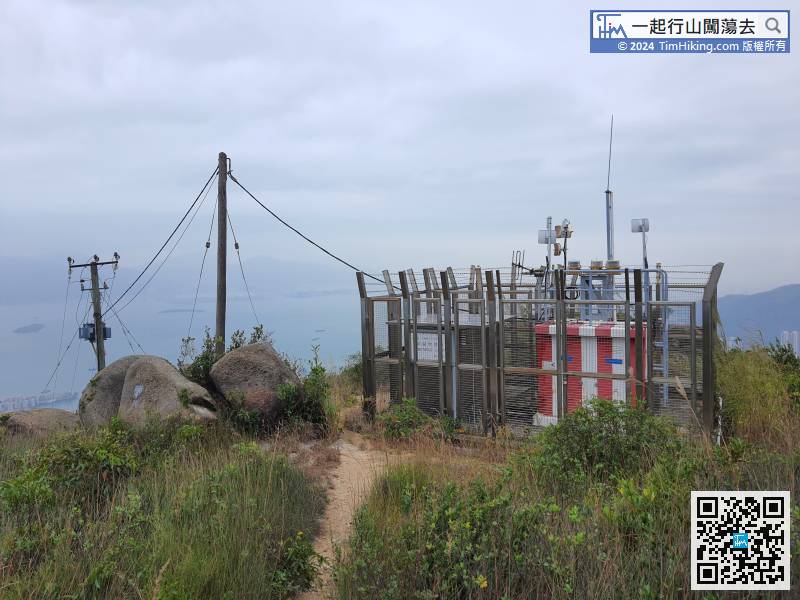 84︰and then follow the sand and gravel trail at the other end.
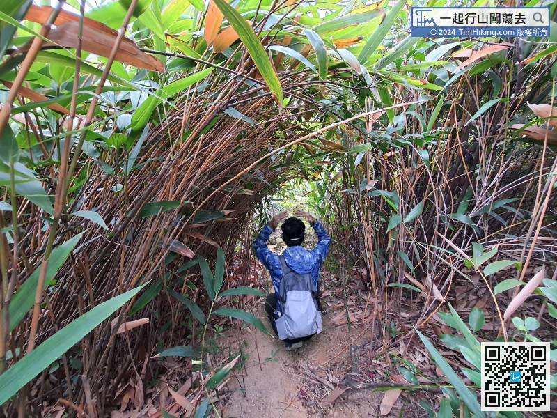
On the way down the mountain, there is a short bamboo tunnel, which adds a lot of fun to the journey.
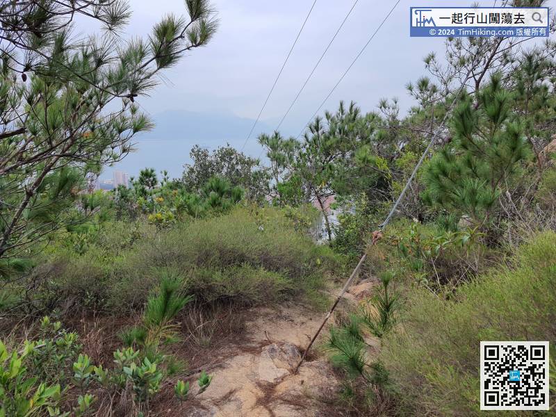
Continue to go down the mountain in the direction of the electricity poles.


