


 Recommend YouTube


| View : |  | ||
| Difficulty : |  | ||
| Path : | |||
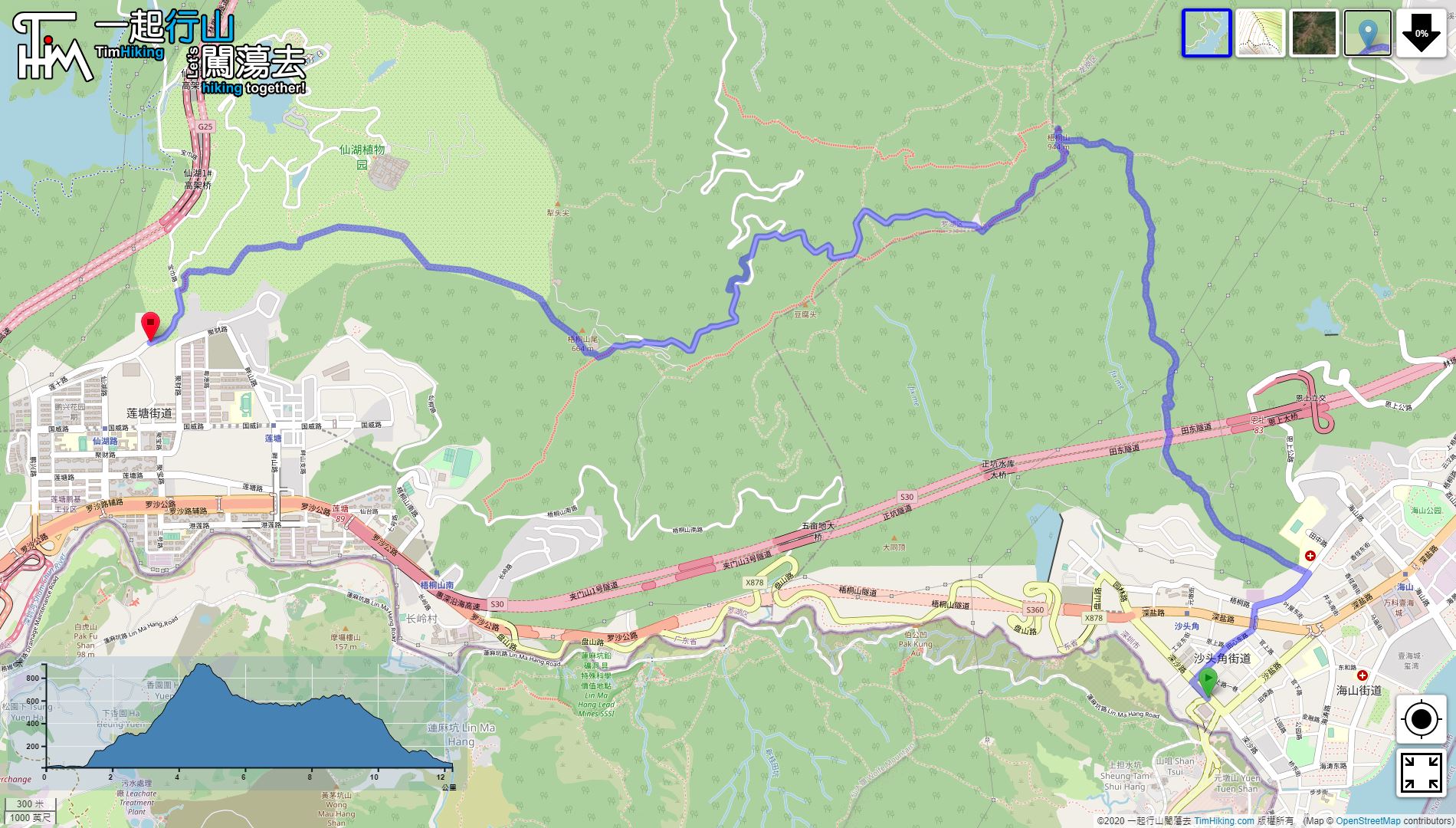
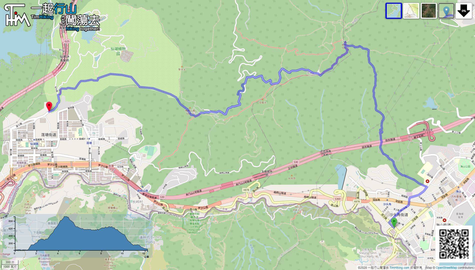
| Length : | 12.5km | ||
| Time : | 7½hours | ||
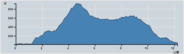 | |
| Ascent : 1,354m | Descent : 1,315m |
| Max : 923m | Min : 12m |
| (The accuracy of elevation is +/-30m) | |


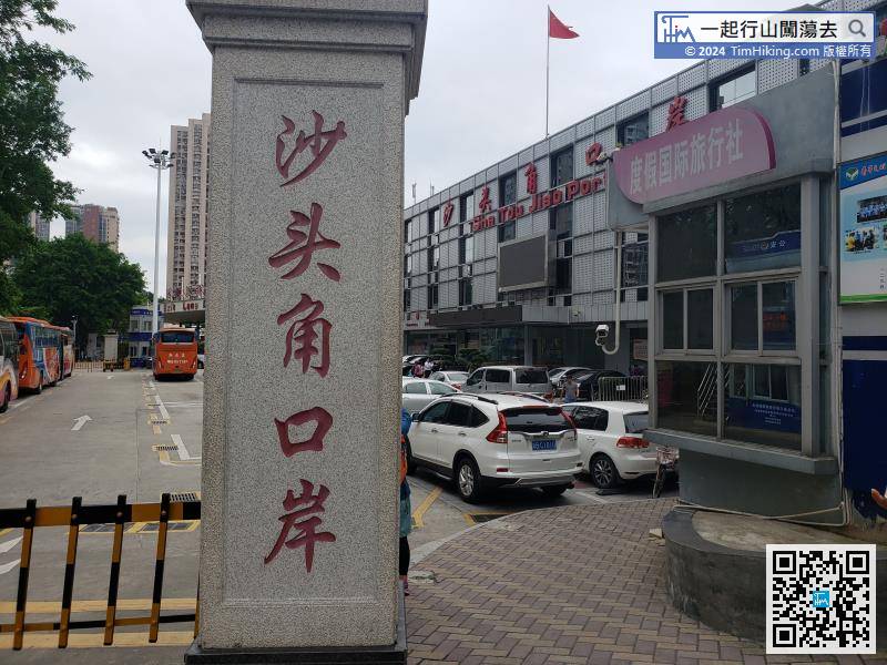
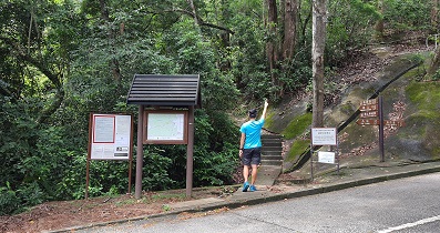
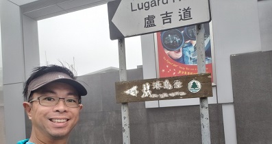
The starting point is very close to Sha Tou Jiao. It is very convenient to take a direct bus to Sha Tou Jiao Port.


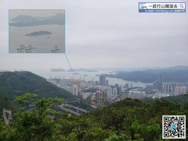
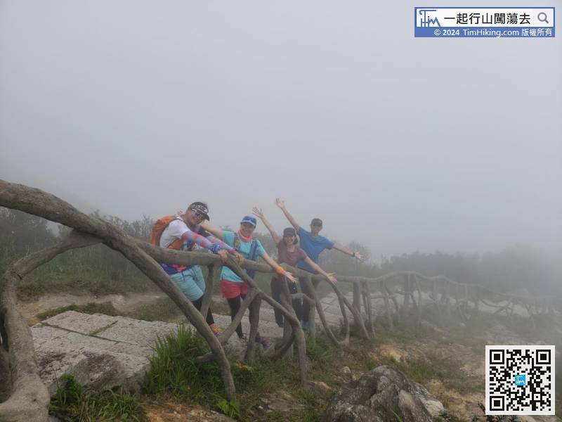
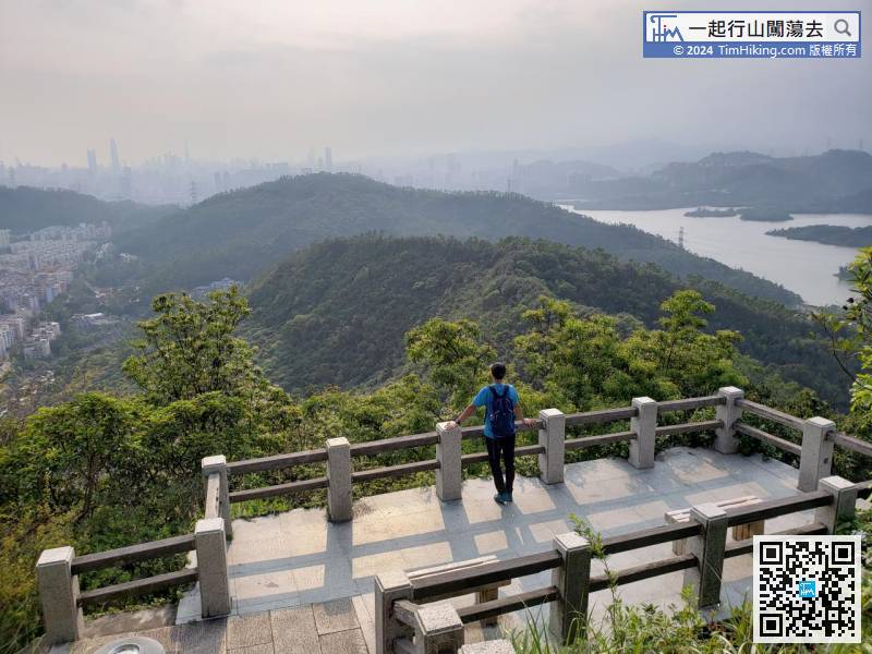
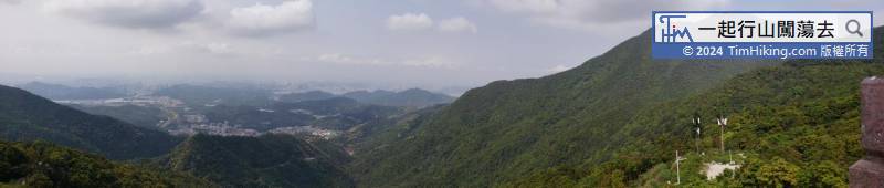
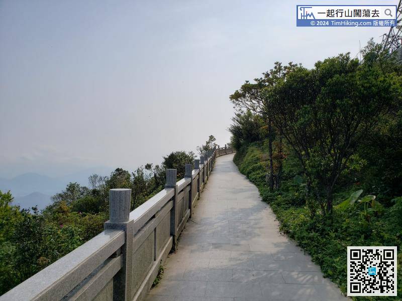
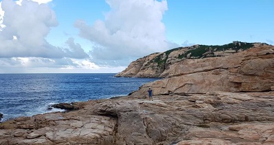
At the place of open scenery, can see YanTian Port when looking back. The opposite is Ap Chau, and behind Ap Chau is Kat O Island.
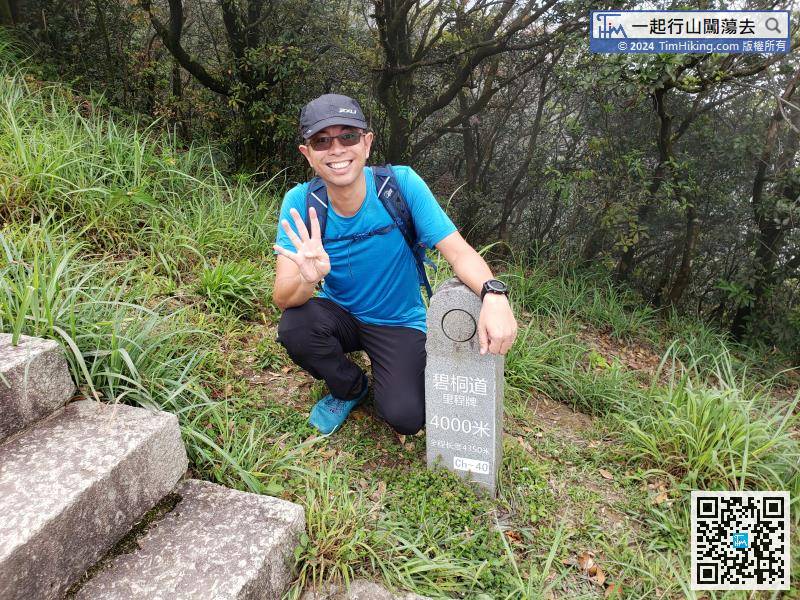
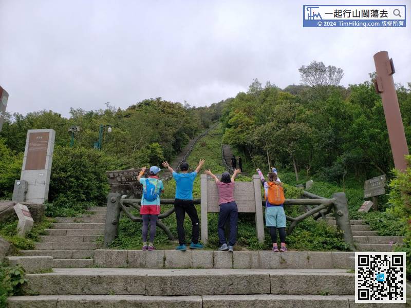
With the indomitable and unyielding sportsmanship, come to 4,000 meters, only a tenth of the distance left.
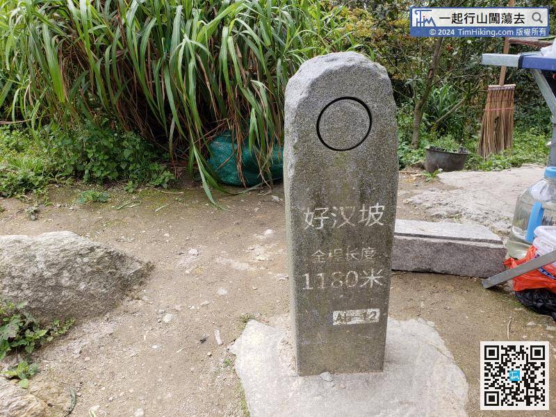
After a break, head towards Hero Slope.


