


 Recommend YouTube


| View : |  | ||
| Difficulty : |  | ||
| Path : | |||
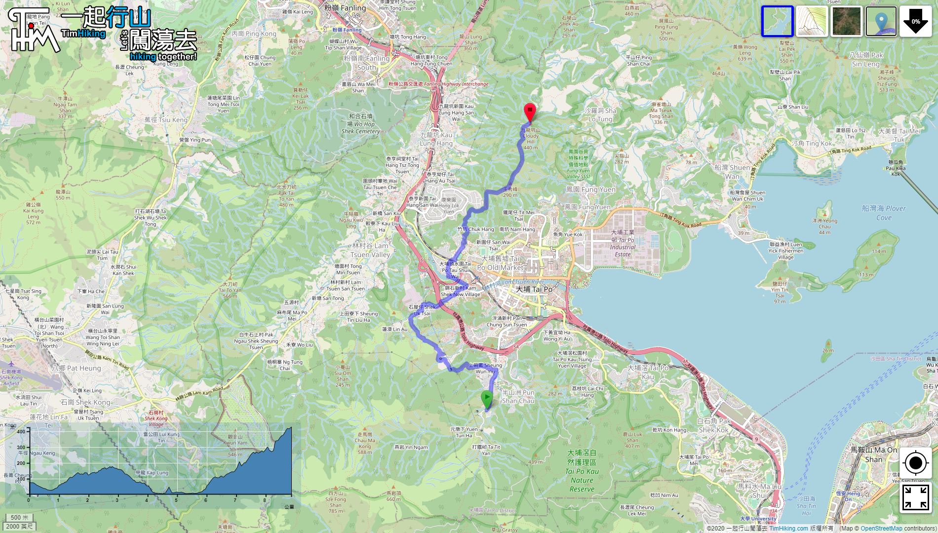
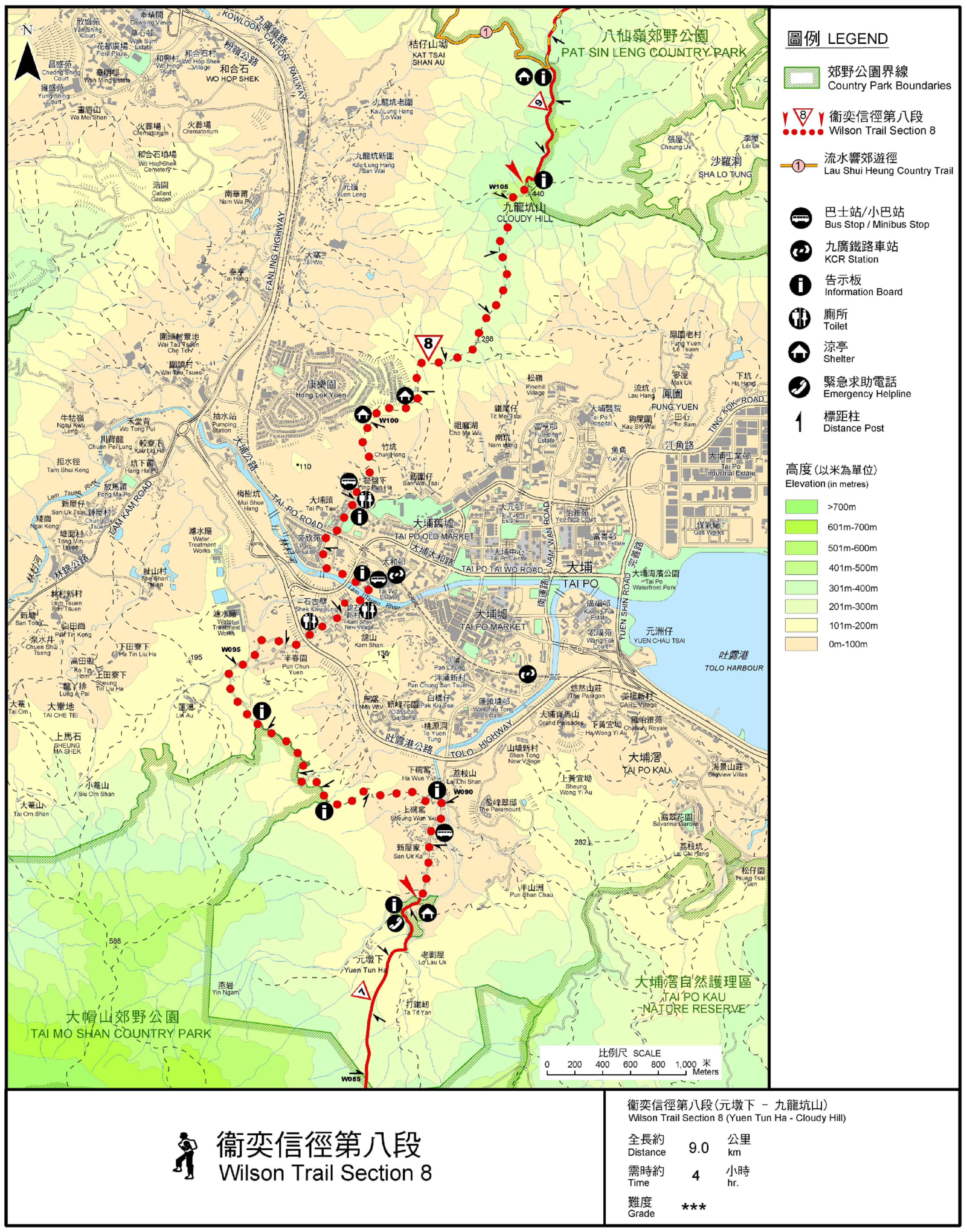
| Length : | 8.9km | ||
| Time : | 3½hours | ||
 | |
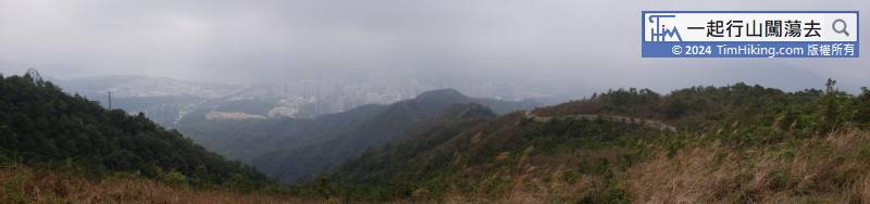
| Ascent : 748m | Descent : 391m |
| Max : 425m | Min : 4m |
| (The accuracy of elevation is +/-30m) | |


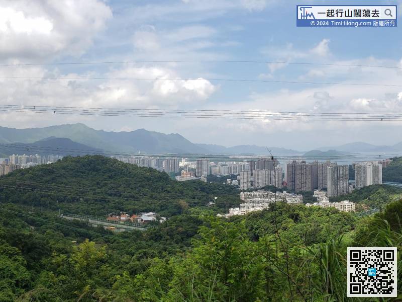
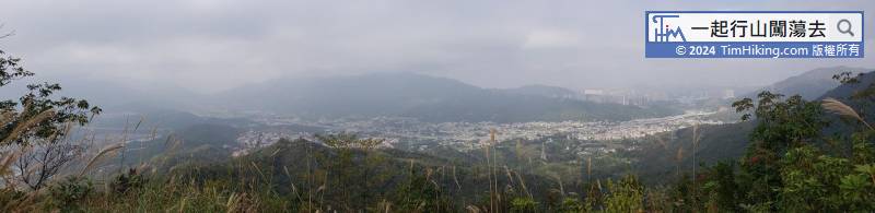
 Tai Wo市區
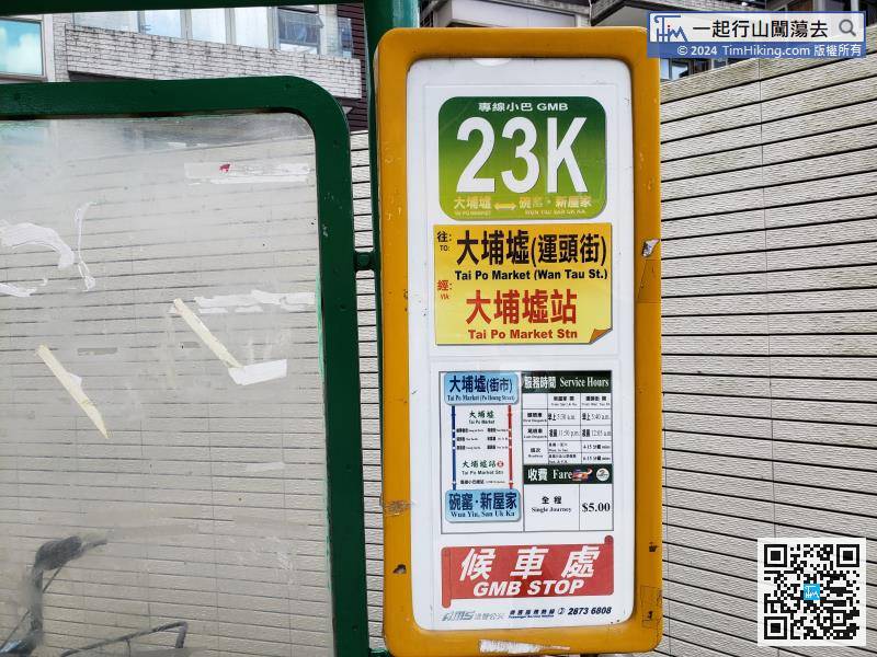
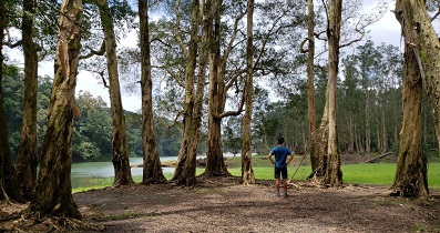
The starting point is near Yuen Tun Ha. You can take minibus 23K at Tai Po Market
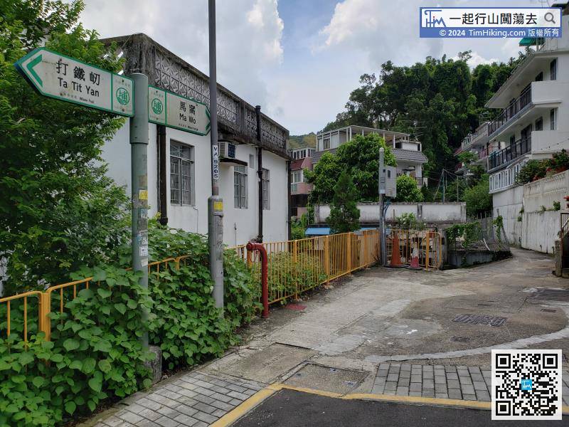
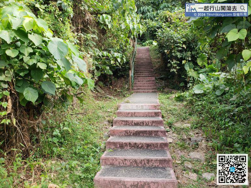
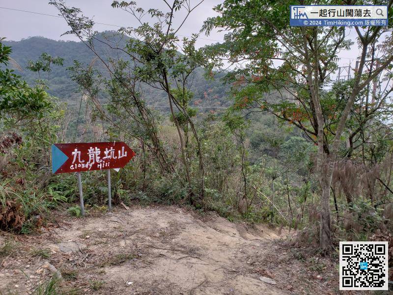
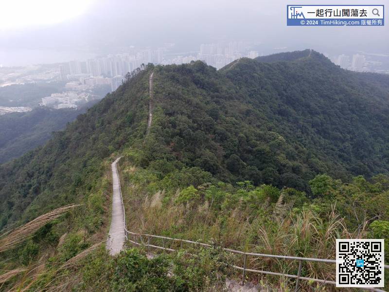
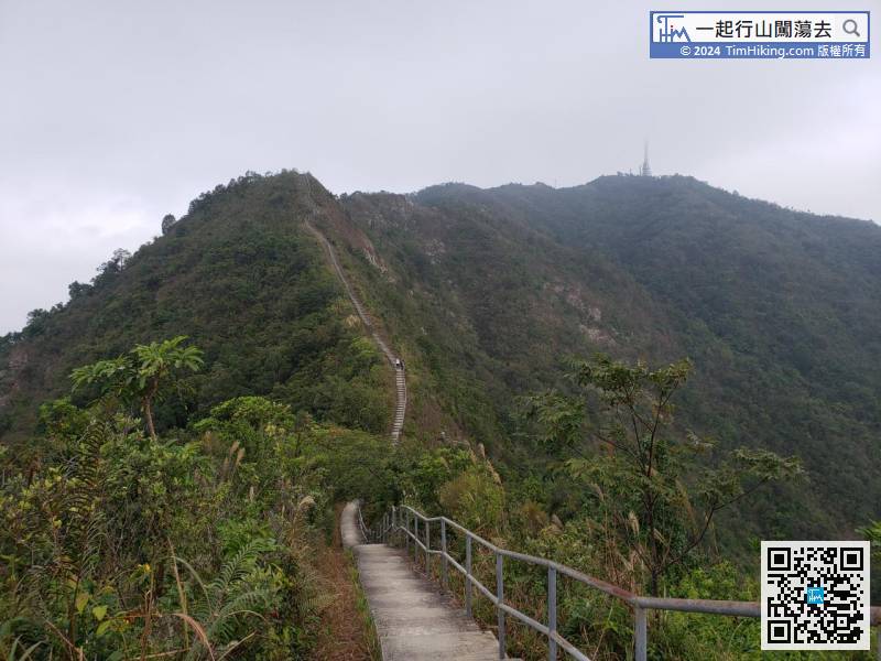
There is a big sign behind the Sitting-out Area, indicating the direction of Cloudy Hill.
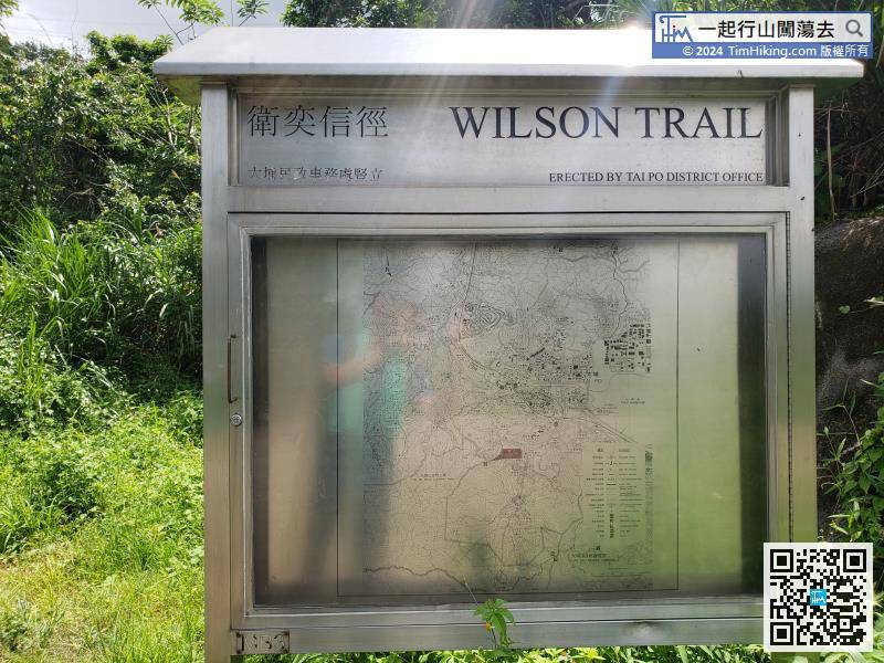
Official Map


